Long Drive Wood

Wood, Forest in Yorkshire

England

Long Drive Wood

Holiday park entrance, Raywell Entrance to the Raywell Hall Country Lodge Park <span class="nowrap"><a title="https://www.raywellhall.co.uk/" rel="nofollow ugc noopener" href="https://www.raywellhall.co.uk/">Link</a><img style="margin-left:2px;" alt="External link" title="External link - shift click to open in new window" src="https://s1.geograph.org.uk/img/external.png" width="10" height="10"/></span> on Westfield Road. This is a secondary access, to the southern portion of the site, which comprises 21 lodges called, collectively 'The Westwoods'. These opened in July 2021. 

The main entrance to the larger part of the park is on nearby Riplingham Road. The holiday park development began in 2007, initially with three lodges, expanding to its current 54.
Holiday park entrance, Raywell Credit: Paul Harrop

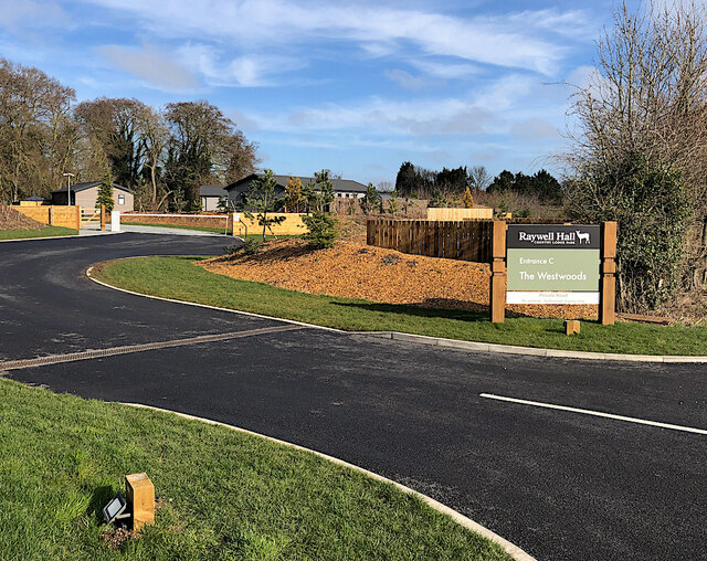
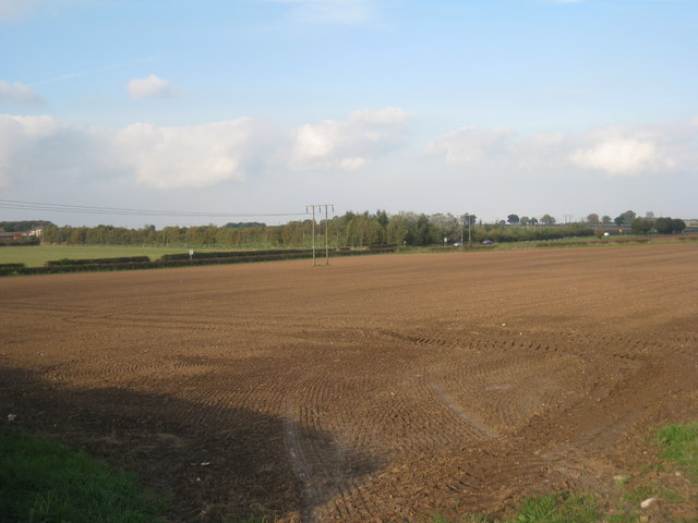
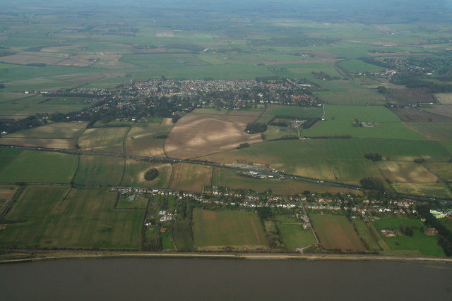
Long Drive Wood, located in Yorkshire, is a stunning woodland area known for its natural beauty and peaceful atmosphere. Spread across a vast area, this forest is a haven for nature enthusiasts and those seeking a tranquil escape from the hustle and bustle of city life.

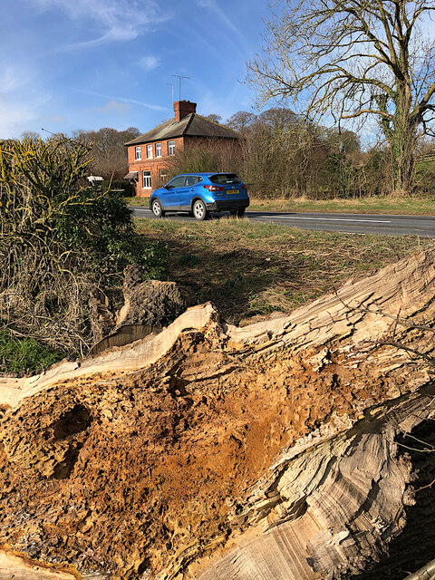
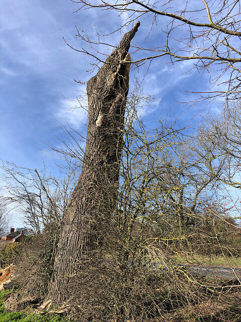
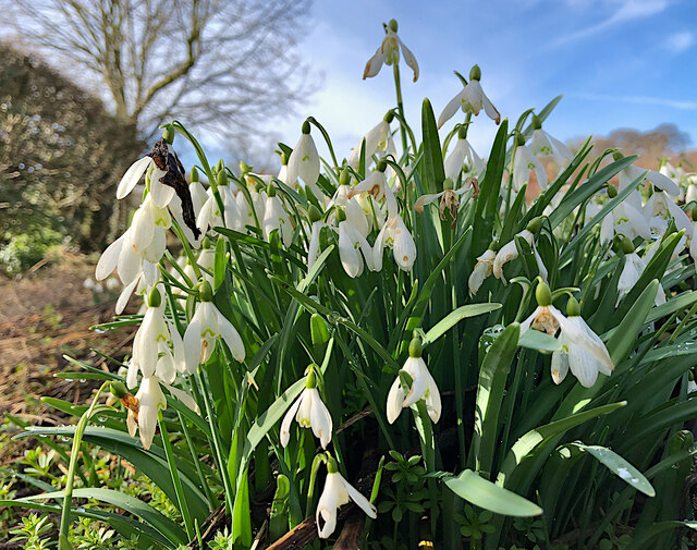
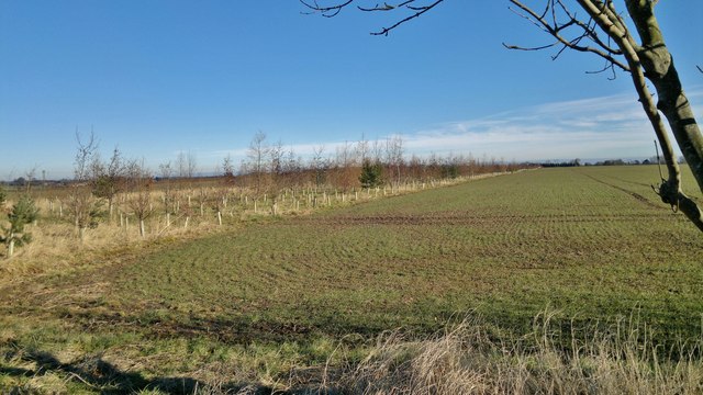
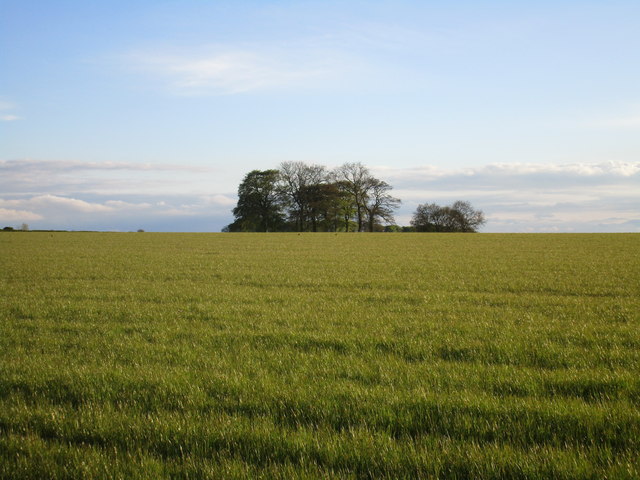
The woodland is primarily made up of a variety of tall, majestic trees such as oak, beech, and pine, which create a dense canopy overhead, allowing only dappled sunlight to filter through. The forest floor is covered in a thick carpet of moss, ferns, and wildflowers, adding to the enchanting ambiance.

Long Drive Wood is home to an array of wildlife species, including deer, foxes, rabbits, and a wide variety of bird species. The tranquil setting provides an ideal habitat for these animals, making it a popular spot for wildlife enthusiasts and birdwatchers.

The forest offers numerous walking trails that wind through its picturesque landscape, allowing visitors to explore its beauty at their leisure. These trails cater to different fitness levels, ensuring that everyone can enjoy the woodland experience. Along the way, there are benches strategically placed for those who wish to sit and soak in the serenity of the surroundings.

Long Drive Wood is open to the public year-round, and visitors can enjoy the changing seasons in all their glory. In the spring, the forest bursts to life with vibrant colors and the songs of birds filling the air. In the autumn, the woodland transforms into a picturesque scene, with the foliage turning into a brilliant display of reds, oranges, and yellows.

Overall, Long Drive Wood provides a peaceful retreat for nature lovers, offering a chance to reconnect with the natural world and enjoy the beauty of Yorkshire's woodlands.

If you have any feedback on the listing, please let us know in the comments section below.

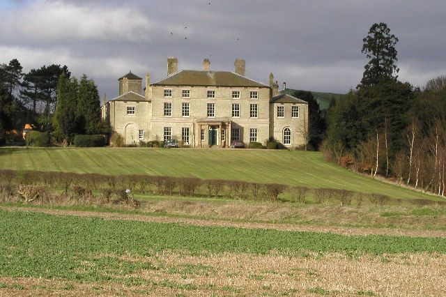
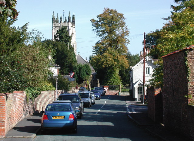
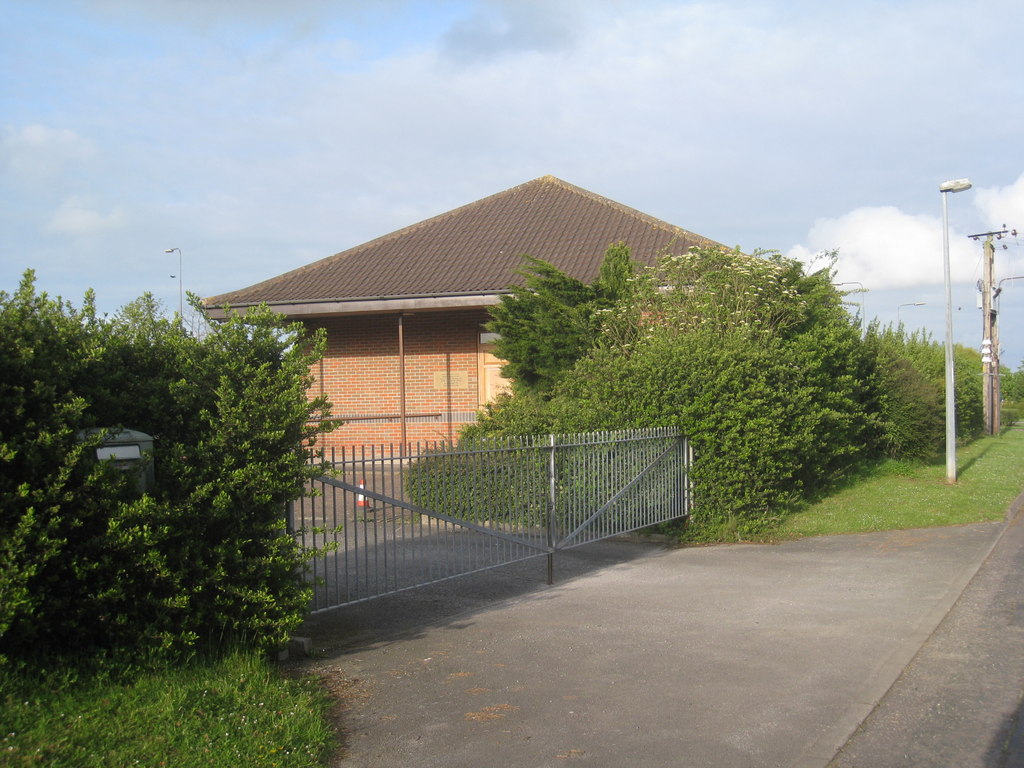
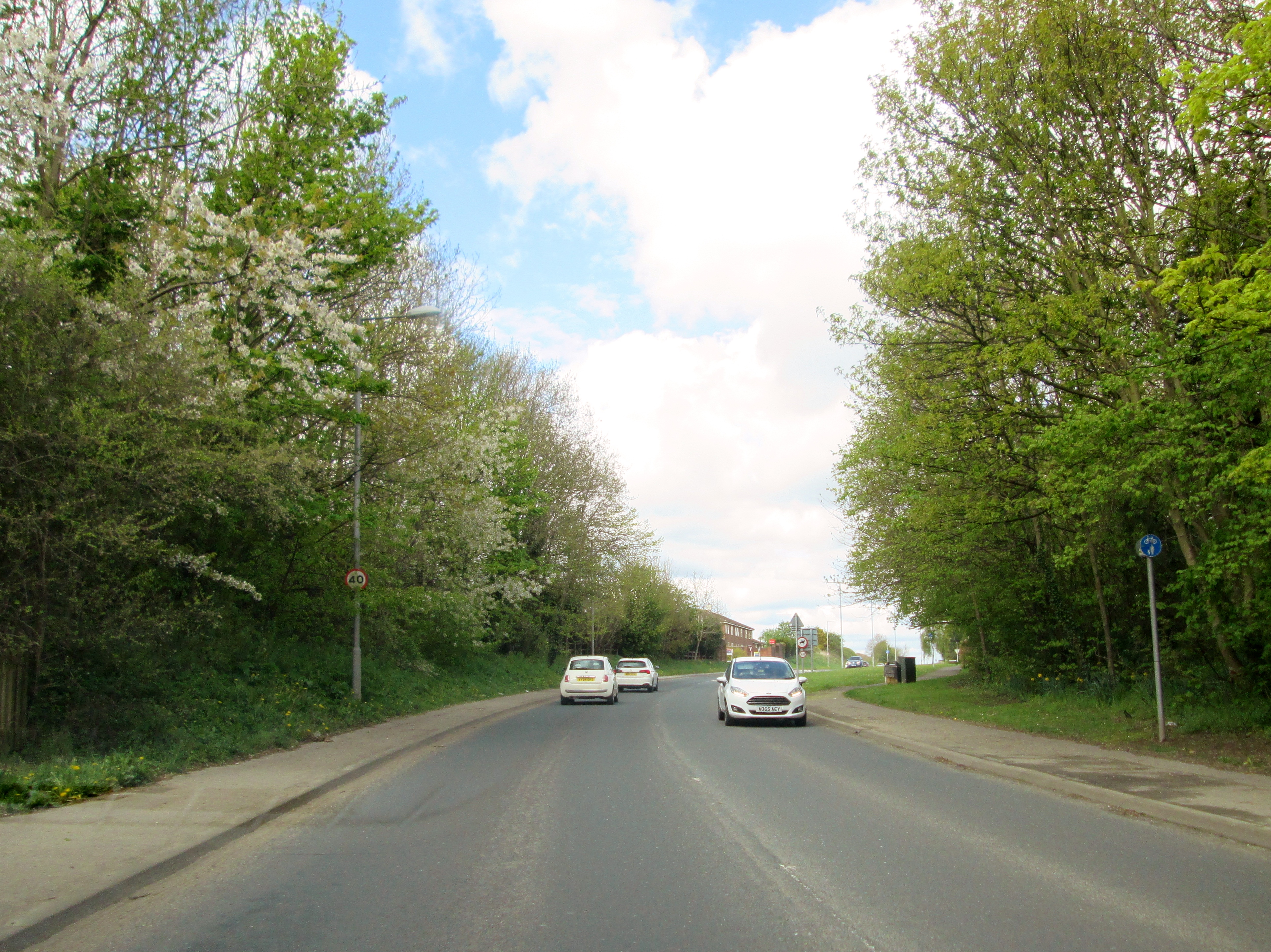
Long Drive Wood Images

Images are sourced within 2km of 53.753904/-0.47315985 or Grid Reference TA0029. Thanks to Geograph Open Source API. All images are credited.

Holiday park entrance, Raywell Entrance to the Raywell Hall Country Lodge Park <span class="nowrap"><a title="https://www.raywellhall.co.uk/" rel="nofollow ugc noopener" href="https://www.raywellhall.co.uk/">Link</a><img style="margin-left:2px;" alt="External link" title="External link - shift click to open in new window" src="https://s1.geograph.org.uk/img/external.png" width="10" height="10"/></span> on Westfield Road. This is a secondary access, to the southern portion of the site, which comprises 21 lodges called, collectively 'The Westwoods'. These opened in July 2021. 

The main entrance to the larger part of the park is on nearby Riplingham Road. The holiday park development began in 2007, initially with three lodges, expanding to its current 54.
Holiday park entrance, Raywell
Entrance to the Raywell Hall Country Lodge Park LinkExternal link on Westfield Road. This is a secondary access, to the southern portion of the site, which comprises 21 lodges called, collectively 'The Westwoods'. These opened in July 2021. The main entrance to the larger part of the park is on nearby Riplingham Road. The holiday park development began in 2007, initially with three lodges, expanding to its current 54.
Westfield Road, Raywell Looking across to the northern side of the road, over a large piece of rotten tree trunk, which presumably came from the adjacent dead tree: <a href="https://www.geograph.org.uk/photo/7108800">SE9930 : Dead tree at Raywell</a>
Westfield Road, Raywell
Looking across to the northern side of the road, over a large piece of rotten tree trunk, which presumably came from the adjacent dead tree: SE9930 : Dead tree at Raywell
Dead tree at Raywell The remains of a tree at the side of Westfield Road. I briefly thought that it might have been a victim of the consistent strong winds during February 2022, but nearby pieces of the stump looked to have been there for some time.
Dead tree at Raywell
The remains of a tree at the side of Westfield Road. I briefly thought that it might have been a victim of the consistent strong winds during February 2022, but nearby pieces of the stump looked to have been there for some time.
Snowdrops at Raywell On the verge on the southern side of Westfield Road, part of a large drift, which were probably, in early March, a bit past their prime.
Snowdrops at Raywell
On the verge on the southern side of Westfield Road, part of a large drift, which were probably, in early March, a bit past their prime.
Farm entrance, Raywell Driveway to Woodhouse Farm opening on to the north side of Westfield Road
Farm entrance, Raywell
Driveway to Woodhouse Farm opening on to the north side of Westfield Road
Bluebells in Nut Wood, Raywell Sadly lacking in photogenic drifts of bluebells, the woods did produce a few straggly examples such as these this spring, although the wild garlic seemed to have done well.
Bluebells in Nut Wood, Raywell
Sadly lacking in photogenic drifts of bluebells, the woods did produce a few straggly examples such as these this spring, although the wild garlic seemed to have done well.
Raywell House, Skidby Built 1803 by Marmaduke Pycock for Daniel Sykes, M.P. for Hull. White brick was a popular building material in this region in the late C18th. Grade II listed.
The house has now been converted into flats.
Raywell House, Skidby
Built 1803 by Marmaduke Pycock for Daniel Sykes, M.P. for Hull. White brick was a popular building material in this region in the late C18th. Grade II listed. The house has now been converted into flats.
Raywell House
Raywell House
View towards Swanland Dale Taken from Dale Road.
View towards Swanland Dale
Taken from Dale Road.
Swanland and the A63: aerial 2014 Plus a double line of houses on the North Ferriby Road.
Swanland and the A63: aerial 2014
Plus a double line of houses on the North Ferriby Road.
Field between Swanland and Swanland Dale Until quite recently this had been one massive field running from Dale Road to Occupation Lane, and from the crest of the hill at Swanland, where the Northfield housing development now stands, down to Swanland Lane. In more recent times this belt of trees has been planted and will provide a wind break in years to come. It also provides a path from Dale Road to Occupation Lane that doesn't, as yet, appear on the map.
Field between Swanland and Swanland Dale
Until quite recently this had been one massive field running from Dale Road to Occupation Lane, and from the crest of the hill at Swanland, where the Northfield housing development now stands, down to Swanland Lane. In more recent times this belt of trees has been planted and will provide a wind break in years to come. It also provides a path from Dale Road to Occupation Lane that doesn't, as yet, appear on the map.
View towards a clump of trees The trees occupy the corners of four fields.
View towards a clump of trees
The trees occupy the corners of four fields.
Lightning-struck tree at Wauldby Deliberately underexposed this to make the silhouette - it maybe 'artistic', but not a very good factual record!
Lightning-struck tree at Wauldby
Deliberately underexposed this to make the silhouette - it maybe 'artistic', but not a very good factual record!
Raywell House
Raywell House
Raywell from the east The small settlement of Raywell on the approach from the east.
Raywell from the east
The small settlement of Raywell on the approach from the east.
Roadside Tree This tree was looking a little worse for wear, but gave a dramatic presence at the side of the Kirk Ella to Wauldby road.
Roadside Tree
This tree was looking a little worse for wear, but gave a dramatic presence at the side of the Kirk Ella to Wauldby road.
Raywell bridleway This well-defined bridleway runs round the south-western edge of Hessle Golf Club
Raywell bridleway
This well-defined bridleway runs round the south-western edge of Hessle Golf Club
Reservoir horses From Riplingham Road. The raised ground to the right in the background is Yorkshire Water's Raywell Service Reservoir.
Reservoir horses
From Riplingham Road. The raised ground to the right in the background is Yorkshire Water's Raywell Service Reservoir.
Show me another place!

Long Drive Wood is located at Grid Ref: TA0029 (Lat: 53.753904, Lng: -0.47315985)

Division: East Riding

Unitary Authority: East Riding of Yorkshire

Police Authority: Humberside

What 3 Words

///recount.timed.diverts. Near Kirk Ella, East Yorkshire

Related Wikis

West Ella

West Ella is a small village in the civil parish of Kirk Ella west of Kirk Ella settlement, within the East Riding of Yorkshire, England, on the eastern...

Kirk Ella

Kirk Ella is a village and civil parish on the western outskirts of Kingston upon Hull, approximately five miles (eight kilometres) west of the city centre...

Hull Reform Synagogue

Hull Reform Synagogue, also known as Ne've Shalom, is a Reform Jewish community based in Willerby near Kingston upon Hull in the East Riding of Yorkshire...

Willerby and Kirk Ella railway station

Willerby and Kirk Ella railway station was a station on the Hull and Barnsley Railway, and served the villages of Willerby and Kirk Ella in the East Riding...

Willerby, East Riding of Yorkshire

Willerby is a village and civil parish located on the western outskirts of the city of Kingston upon Hull in the East Riding of Yorkshire, England. Willerby...

Sculcoates Rural District

Sculcoates was a rural district in the East Riding of Yorkshire, England from 1894 to 1935.The district formed three separate areas around Kingston upon...

Wolfreton School

Wolfreton School & Sixth Form College is a coeducational secondary school and sixth form located in Willerby, East Riding of Yorkshire, England. During...

Swanland

Swanland is a village and civil parish in the East Riding of Yorkshire in England. The village is about seven miles (11 km) to the west of Kingston upon...

Nearby Amenities

Located within 500m of 53.753904,-0.47315985
West Ella
Is In: East Riding of Yorkshire, England, UK
Is In County: East Riding of Yorkshire
Place: village
Wikidata: Q7985025
Lat/Long: 53.7495001/-0.4737446
Bus Stop
West Ella Road Chapel
Naptan AtcoCode: 2200YEA00640
Naptan Bearing: E
Naptan CommonName: West Ella Road Chapel
Naptan PlusbusZoneRef: HULL
Naptan Street: West Ella Road
Note: no code on sign
Shelter: no
Source: naptan + survey
Lat/Long: 53.7496225/-0.470943
Power: tower
Lat/Long: 53.7527034/-0.4794491
Power: tower
Lat/Long: 53.7549714/-0.4803853
The data included in this document is from www.openstreetmap.org. The data is made available under ODbL.

Have you been to Long Drive Wood?

Leave your review of Long Drive Wood below (or comments, questions and feedback).