Edward's Plantation
Wood, Forest in Lincolnshire North Kesteven
England
Edward's Plantation
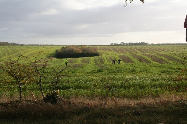
Edward's Plantation is a sprawling woodland located in Lincolnshire, England. Covering an area of approximately 500 acres, the plantation is a haven for nature enthusiasts and a popular destination for outdoor activities. The plantation is predominantly composed of various species of trees, including oak, beech, and pine, creating a diverse and picturesque landscape.
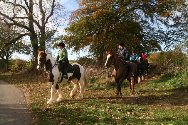
The woodland is known for its dense foliage, providing a natural habitat for a wide range of wildlife. Visitors to Edward's Plantation can expect to spot an array of bird species, such as woodpeckers, owls, and songbirds, as well as mammals like deer, foxes, and rabbits. The plantation's tranquil atmosphere and untouched beauty make it an ideal spot for birdwatching and wildlife photography.
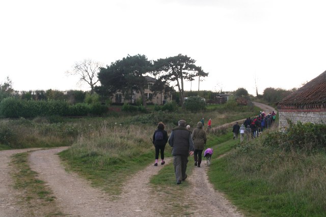
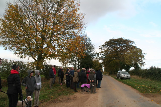
The plantation offers a variety of walking trails and paths, allowing visitors to explore the area at their own pace. These trails range from easy strolls through open meadows to more challenging hikes through the dense forest. Along the way, visitors can enjoy the breathtaking scenery, listen to the sounds of nature, and immerse themselves in the peaceful surroundings.
Edward's Plantation also features a picnic area, providing a perfect spot for visitors to relax and enjoy a meal amidst nature. The plantation is open to the public year-round, with seasonal variations in its appearance, making it a popular destination for nature enthusiasts, families, and those seeking a peaceful retreat from the hustle and bustle of daily life.
Overall, Edward's Plantation in Lincolnshire is a picturesque woodland that offers a rich natural experience, providing visitors with opportunities for wildlife encounters, leisurely walks, and moments of tranquility amidst the beauty of nature.
If you have any feedback on the listing, please let us know in the comments section below.
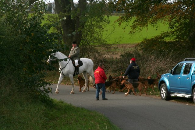
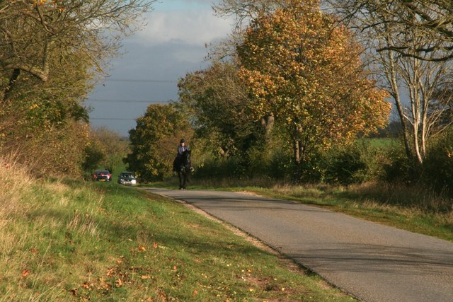
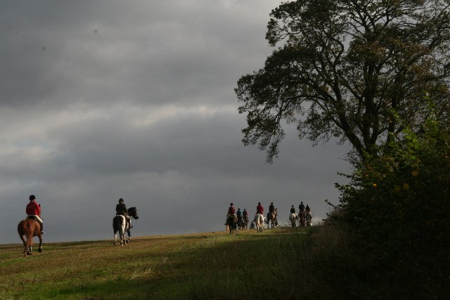
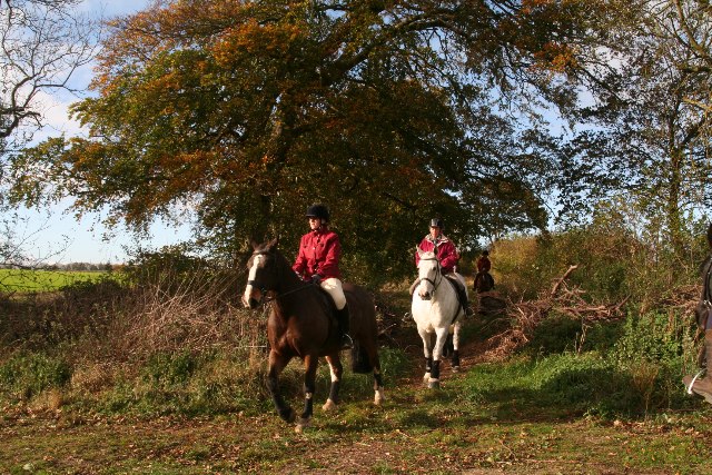
Edward's Plantation Images
Images are sourced within 2km of 53.065484/-0.49880965 or Grid Reference TF0053. Thanks to Geograph Open Source API. All images are credited.


Edward's Plantation is located at Grid Ref: TF0053 (Lat: 53.065484, Lng: -0.49880965)
Administrative County: Lincolnshire
District: North Kesteven
Police Authority: Lincolnshire
What 3 Words
///cocktail.alley.believer. Near Cranwell, Lincolnshire
Nearby Locations
Related Wikis
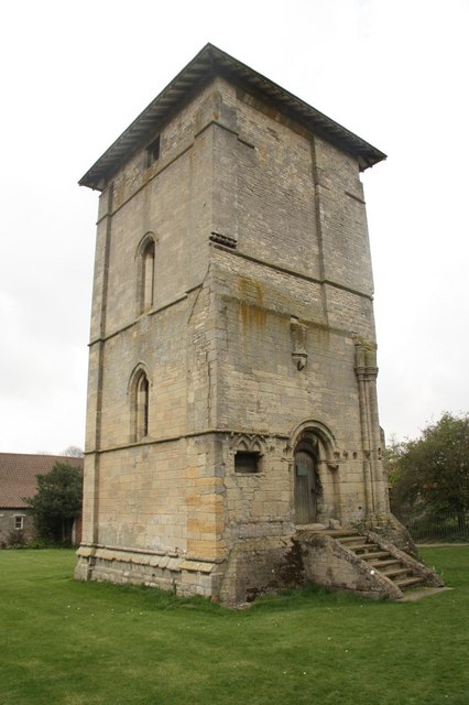
Temple Bruer Preceptory
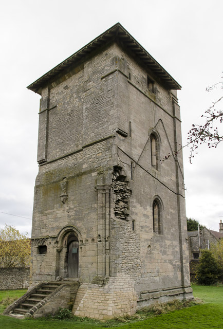
Temple Bruer Preceptory is a historic building in the civil parish of Temple Bruer with Temple High Grange, North Kesteven, Lincolnshire, England. It...

Temple Bruer with Temple High Grange
Temple Bruer with Temple High Grange is a civil parish and a former extra-parochial area in North Kesteven, Lincolnshire, England which had in the Medieval...

Brauncewell
Brauncewell is a hamlet and former civil parish in the North Kesteven district of Lincolnshire, England. From the census 2011 the population is included...

Sleaford and North Hykeham (UK Parliament constituency)
Sleaford and North Hykeham is a parliamentary constituency in Lincolnshire, England which elects a single Member of Parliament (MP) to the House of Commons...
Nearby Amenities
Located within 500m of 53.065484,-0.49880965Have you been to Edward's Plantation?
Leave your review of Edward's Plantation below (or comments, questions and feedback).