Rachel's Plantation
Wood, Forest in Lincolnshire North Kesteven
England
Rachel's Plantation
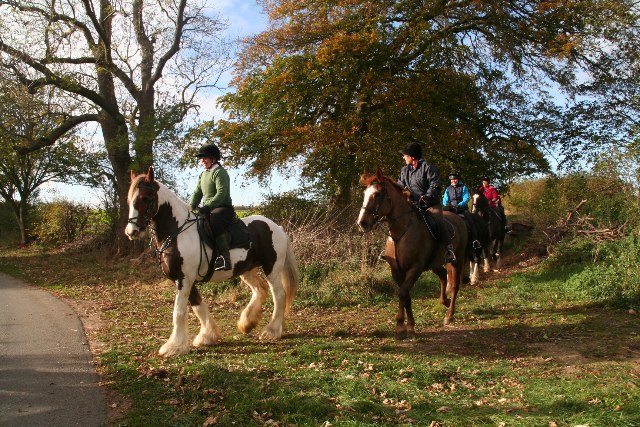
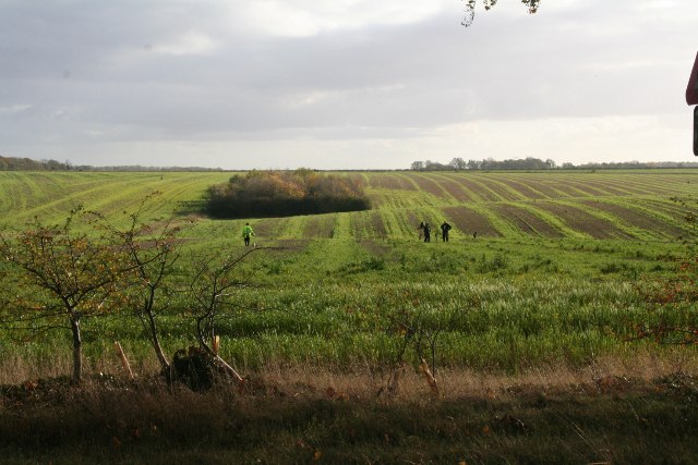
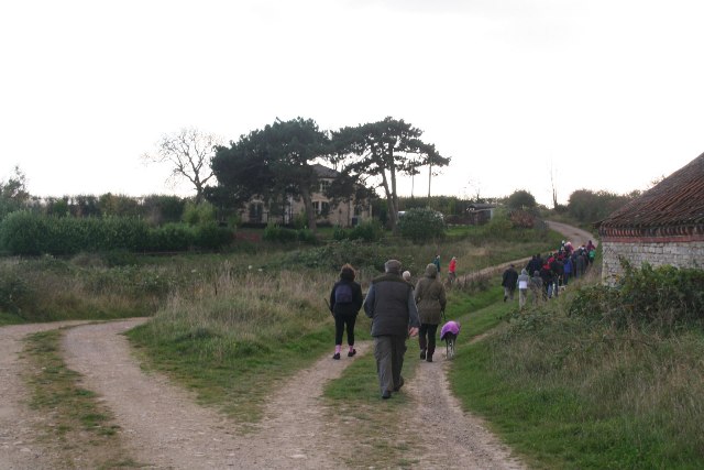
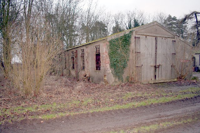
Rachel's Plantation is a scenic and sprawling woodland retreat located in the heart of Lincolnshire, England. Spread across several acres, this magnificent plantation is a haven for nature lovers and outdoor enthusiasts alike. The site is primarily covered by lush green woodlands, making it a serene and idyllic destination for those seeking a break from the hustle and bustle of urban life.
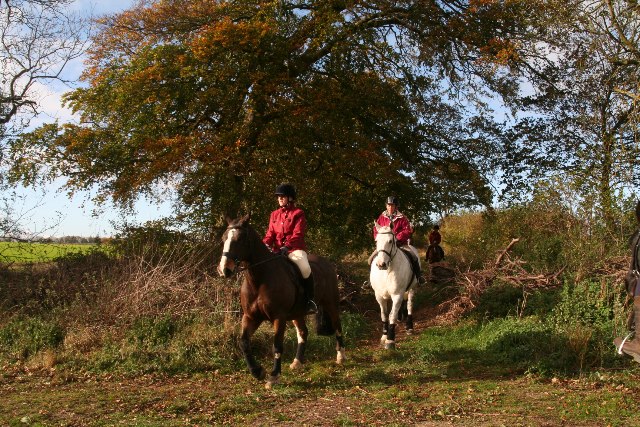
The woodland is home to a diverse range of flora and fauna, with towering oak and beech trees dominating the landscape. Walking through the plantation, visitors are treated to a symphony of sounds, as birds chirp and squirrels scamper about. The air is crisp and refreshing, making it a perfect spot for a leisurely stroll or a picnic with family and friends.
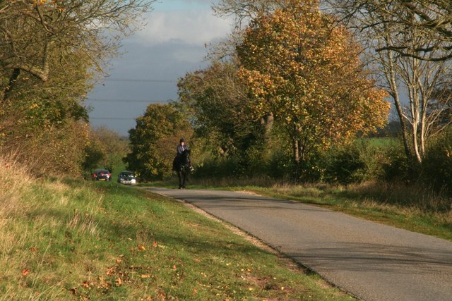
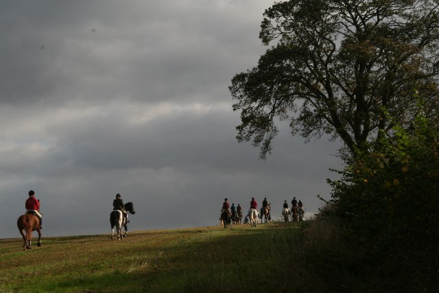
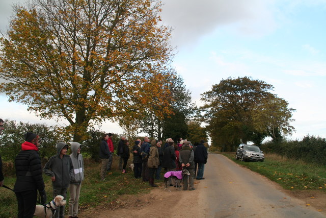
Rachel's Plantation offers a plethora of activities for visitors to enjoy. There are well-marked trails that wind through the plantation, allowing visitors to explore the woodland at their own pace. The trails cater to various fitness levels, ensuring that everyone can have a memorable experience. Additionally, the plantation offers guided nature walks and educational programs for those interested in learning more about the local ecosystem.
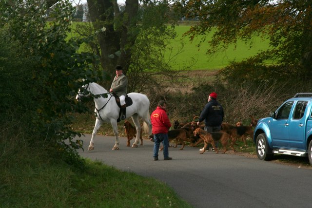
For those seeking a more adventurous experience, Rachel's Plantation also offers opportunities for camping and wildlife spotting. The plantation is known for its abundance of wildlife, including deer, foxes, and rabbits. Camping facilities are available, allowing visitors to spend the night under the starry sky, surrounded by the beauty of nature.
Overall, Rachel's Plantation in Lincolnshire is a captivating destination that offers a peaceful respite from the chaos of everyday life. With its stunning woodlands, diverse wildlife, and array of activities, it is an enchanting place that is sure to leave a lasting impression on all who visit.
If you have any feedback on the listing, please let us know in the comments section below.
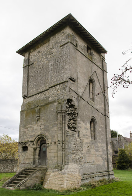
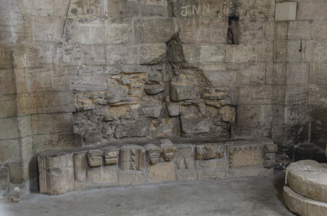
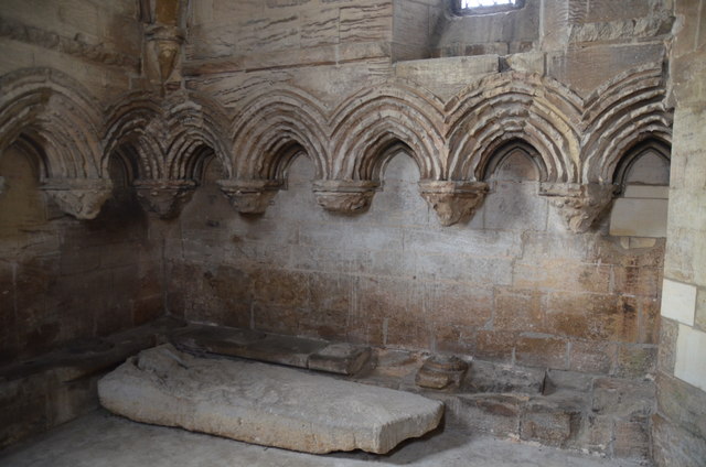
Rachel's Plantation Images
Images are sourced within 2km of 53.071152/-0.50337408 or Grid Reference TF0053. Thanks to Geograph Open Source API. All images are credited.


Rachel's Plantation is located at Grid Ref: TF0053 (Lat: 53.071152, Lng: -0.50337408)
Administrative County: Lincolnshire
District: North Kesteven
Police Authority: Lincolnshire
What 3 Words
///dusters.upwards.kitchen. Near Navenby, Lincolnshire
Nearby Locations
Related Wikis
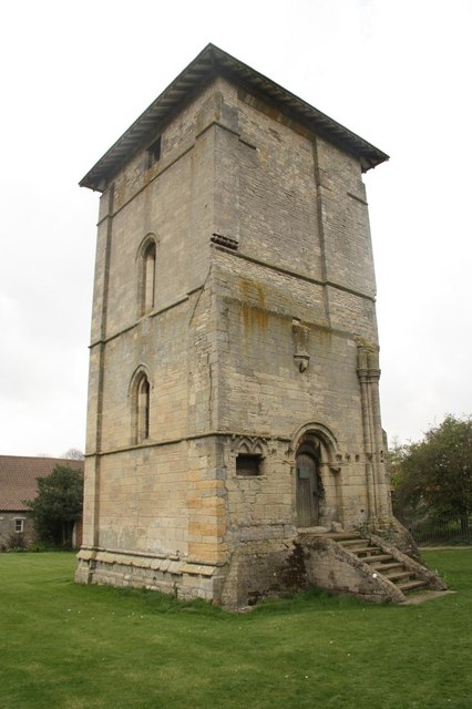
Temple Bruer Preceptory
Temple Bruer Preceptory is a historic building in the civil parish of Temple Bruer with Temple High Grange, North Kesteven, Lincolnshire, England. It...

Temple Bruer with Temple High Grange
Temple Bruer with Temple High Grange is a civil parish and a former extra-parochial area in North Kesteven, Lincolnshire, England which had in the Medieval...
RAF Wellingore
Royal Air Force Wellingore or more simply RAF Wellingore is a former Royal Air Force fighter relief landing ground located 1.9 miles (3.1 km) south of...
Thompson's Bottom
Thompson's Bottom is a hamlet in the North Kesteven district of Lincolnshire, England. It is situated just under 0.5 miles (0.8 km) west from the A15 road...

Brauncewell
Brauncewell is a hamlet and former civil parish in the North Kesteven district of Lincolnshire, England. From the census 2011 the population is included...

Sleaford and North Hykeham (UK Parliament constituency)
Sleaford and North Hykeham is a parliamentary constituency in Lincolnshire, England which elects a single Member of Parliament (MP) to the House of Commons...

Welbourn
Welbourn is a village and civil parish in the North Kesteven district of Lincolnshire, England. The population of the civil parish at the 2011 census was...

Wellingore
Wellingore is a village and civil parish in the North Kesteven district of Lincolnshire, England. The population of the civil parish at the 2011 census...
Nearby Amenities
Located within 500m of 53.071152,-0.50337408Have you been to Rachel's Plantation?
Leave your review of Rachel's Plantation below (or comments, questions and feedback).