Stone's Wood
Wood, Forest in Buckinghamshire
England
Stone's Wood
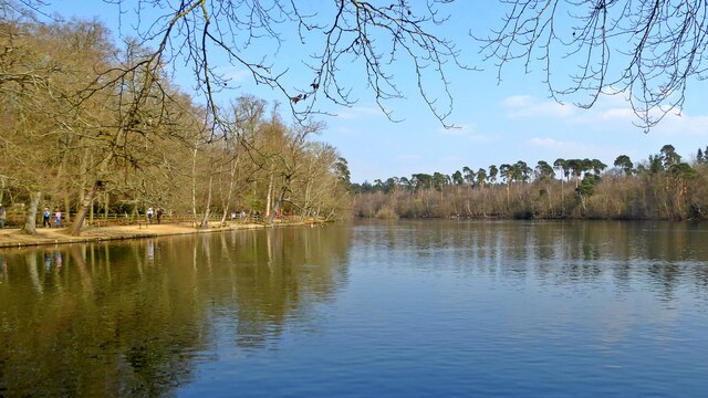
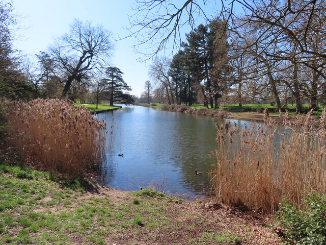
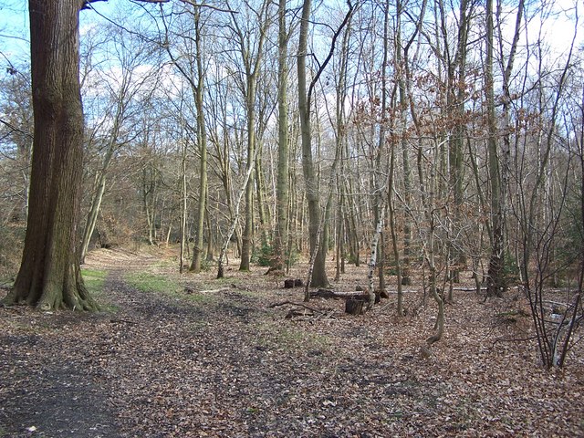
Stone's Wood is a picturesque woodland located in Buckinghamshire, England. Covering an area of approximately 100 acres, it is renowned for its natural beauty and diverse range of flora and fauna. The wood is situated near the village of Stone, in the Chiltern Hills, making it easily accessible for visitors from nearby towns and cities.
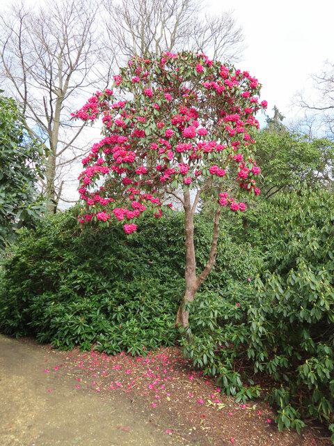
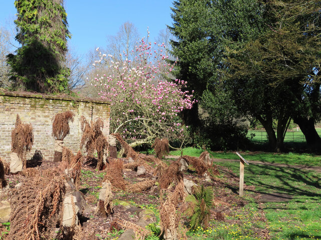
The woodland is a mix of ancient and secondary woodland, with some areas dating back hundreds of years. It is primarily dominated by broadleaf trees such as oak, beech, and ash, creating a rich canopy that provides a habitat for a variety of wildlife. The forest floor is carpeted with wildflowers, ferns, and mosses, adding to the enchanting atmosphere of the wood.
Stone's Wood is a haven for nature enthusiasts, offering numerous walking trails and paths that wind through the trees. It is a popular spot for birdwatching, with species such as woodpeckers, owls, and various songbirds frequently spotted within its boundaries. The wood is also home to small mammals like squirrels, rabbits, and foxes, as well as a diverse range of insects and butterflies.
In addition to its natural beauty, Stone's Wood has historical significance, with remnants of an old iron-age fort found within the woodland. The fort's earthworks and ditches serve as a reminder of the area's rich past, attracting history enthusiasts and archaeologists alike.
Overall, Stone's Wood is a tranquil and captivating woodland, offering visitors a chance to escape the hustle and bustle of everyday life and immerse themselves in the beauty and serenity of nature.
If you have any feedback on the listing, please let us know in the comments section below.
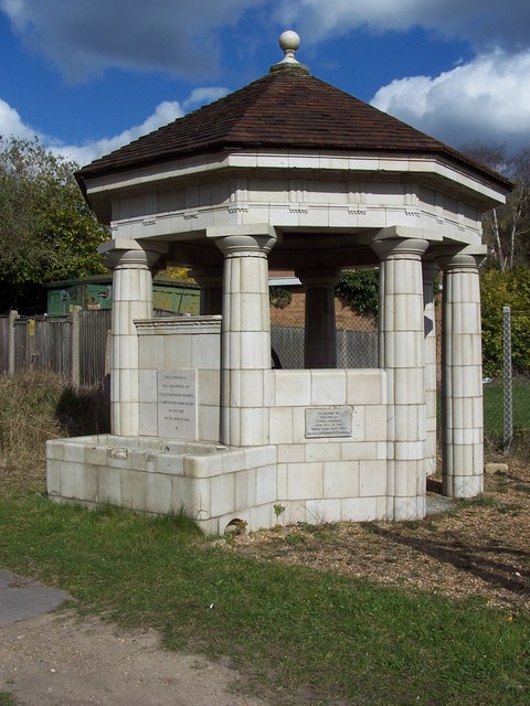
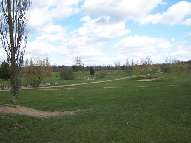
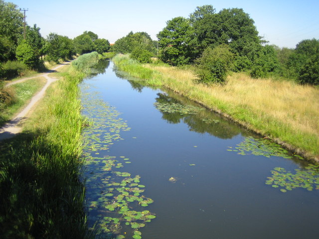
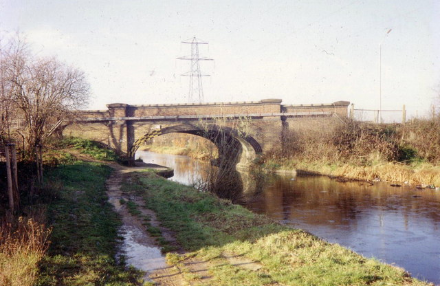
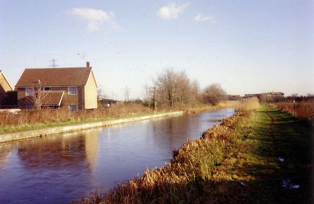
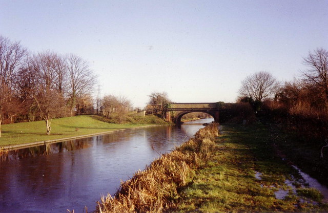
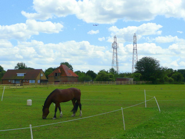
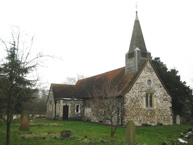
Stone's Wood Images
Images are sourced within 2km of 51.527364/-0.56044238 or Grid Reference SU9981. Thanks to Geograph Open Source API. All images are credited.


Stone's Wood is located at Grid Ref: SU9981 (Lat: 51.527364, Lng: -0.56044238)
Unitary Authority: Buckinghamshire
Police Authority: Thames Valley
What 3 Words
///sock.frozen.bother. Near Stoke Poges, Buckinghamshire
Nearby Locations
Related Wikis

George Green, Buckinghamshire
George Green is a hamlet in the parish of Wexham, in the Buckinghamshire district of the ceremonial county of Buckinghamshire, England. It is situated...

Wexham School
Wexham School is a co-educational community school in Wexham Court, Slough, Berkshire. == Admissions == The school opened in 1987, and serves students...

Langley Park, Buckinghamshire
Langley Park is a historic house and estate in Buckinghamshire, England. The parkland is currently known as Langley Park Country Park, and is open to visitors...

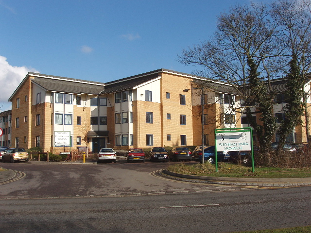
Wexham Park Hospital
Wexham Park Hospital is a large NHS hospital in Slough, Berkshire. It has been managed by Frimley Health NHS Foundation Trust since 2014. Neil Dardis has...
Nearby Amenities
Located within 500m of 51.527364,-0.56044238Have you been to Stone's Wood?
Leave your review of Stone's Wood below (or comments, questions and feedback).