Hay's Wood

Wood, Forest in Buckinghamshire

England

Hay's Wood

Oxford Road, Gerrards Cross
Oxford Road, Gerrards Cross Credit: David Howard

Hay's Wood is a picturesque woodland located in the county of Buckinghamshire, England. Covering an area of approximately 50 acres, this ancient forest is nestled in the Chiltern Hills, a designated Area of Outstanding Natural Beauty. The wood is named after the nearby village of Haysden, which dates back to medieval times.

The woodland is characterized by a diverse range of tree species, including oak, beech, ash, and birch, which create a rich and vibrant habitat for various wildlife. The forest floor is adorned with a carpet of bluebells during the spring season, adding to its natural beauty.

Hay's Wood has a long history, with evidence of human inhabitation dating back to the Iron Age. The woodland was historically used for timber production and has remnants of old charcoal hearths, providing insight into its past economic significance. Today, the forest is primarily managed for conservation purposes and is a popular destination for nature enthusiasts, walkers, and photographers.

The wood offers a network of well-maintained footpaths, allowing visitors to explore its serene surroundings and enjoy the peaceful atmosphere. The area is also home to a variety of wildlife, including deer, badgers, foxes, and a wide range of bird species, making it an ideal spot for birdwatching.

Hay's Wood provides a tranquil escape from the hustle and bustle of everyday life, where visitors can immerse themselves in the beauty of nature and experience the enchanting charm of this ancient woodland.

If you have any feedback on the listing, please let us know in the comments section below.
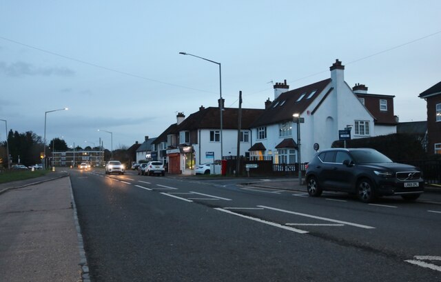
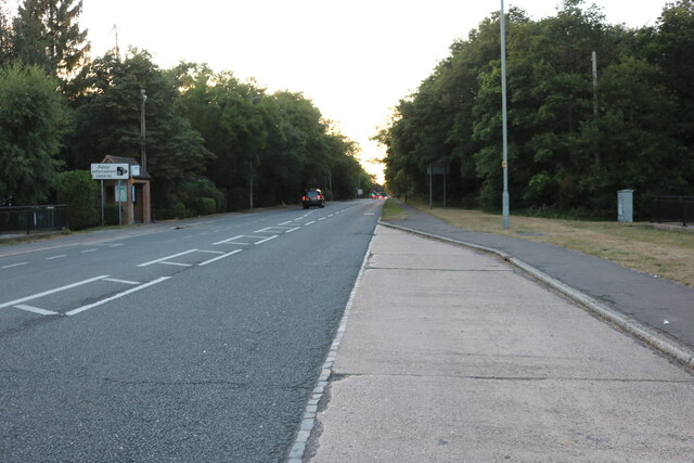
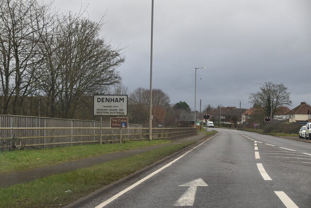
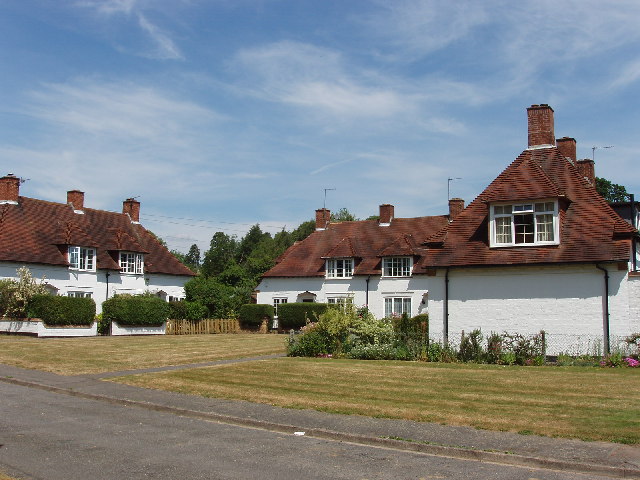
Hay's Wood Images

Images are sourced within 2km of 51.565197/-0.55927683 or Grid Reference SU9986. Thanks to Geograph Open Source API. All images are credited.

Oxford Road, Gerrards Cross
Matrix gantry - M25 northbound
Green on Oxford Road, Gerrards Cross
Oxford Road, Gerrards Cross
Flats on Oxford Road, Gerrards Cross
Oxford Rd The A40 road runs 256 miles from the City of London to Fishguard. It is a major trunk road and runs through High Wycombe, Oxford, Cheltenham, Ross on Wye, Abergavenny, Llandeilo and Carmarthen.
Oxford Rd
The A40 road runs 256 miles from the City of London to Fishguard. It is a major trunk road and runs through High Wycombe, Oxford, Cheltenham, Ross on Wye, Abergavenny, Llandeilo and Carmarthen.
Entering Tatling End and Denham The A40 road runs 256 miles from the City of London to Fishguard. It is a major trunk road and runs through High Wycombe, Oxford, Cheltenham, Ross on Wye, Abergavenny, Llandeilo and Carmarthen.
Entering Tatling End and Denham
The A40 road runs 256 miles from the City of London to Fishguard. It is a major trunk road and runs through High Wycombe, Oxford, Cheltenham, Ross on Wye, Abergavenny, Llandeilo and Carmarthen.
Entering Denham, A40 The A40 road runs 256 miles from the City of London to Fishguard. It is a major trunk road and runs through High Wycombe, Oxford, Cheltenham, Ross on Wye, Abergavenny, Llandeilo and Carmarthen.
Entering Denham, A40
The A40 road runs 256 miles from the City of London to Fishguard. It is a major trunk road and runs through High Wycombe, Oxford, Cheltenham, Ross on Wye, Abergavenny, Llandeilo and Carmarthen.
Assorted trades by the M25
Church Row, Fulmer These houses are across the road from the church
Church Row, Fulmer
These houses are across the road from the church
St James Church, Fulmer This brick church was built in 1610
St James Church, Fulmer
This brick church was built in 1610
Show me another place!

Hay's Wood is located at Grid Ref: SU9986 (Lat: 51.565197, Lng: -0.55927683)

Unitary Authority: Buckinghamshire

Police Authority: Thames Valley

What 3 Words

///rate.joke.lobby. Near Gerrards Cross, Buckinghamshire

Nearby Locations

Hay's Wood

Related Wikis

Fulmer Place

Fulmer Place is a Grade II listed mansion at Fulmer in Buckinghamshire which was formerly the home of Lord John Hay. == History == Formerly the seat of...

Fulmer

Fulmer is a village and civil parish in south Buckinghamshire, England. The village has, along most of its northern border, a narrow green buffer from...

Teikyo School United Kingdom

Teikyo School United Kingdom (帝京ロンドン学園高等部, Teikyō Rondon Gakuen Kōtōbu, lit. 'Teikyo London Academy High School Division') is a Japanese international...

St James Church, Gerrards Cross

St James is an evangelical Church of England parish church in Gerrards Cross, Buckinghamshire. The Parish of St. James, within the Deanery of Amersham...

Nearby Amenities

Located within 500m of 51.565197,-0.55927683
Barrier: stile
Lat/Long: 51.5635796/-0.5658617
Power: tower
Lat/Long: 51.5671141/-0.5576001
Power: tower
Lat/Long: 51.5671644/-0.5622142
Fulmer
Place: village
Source: OS_OpenData_StreetView
Lat/Long: 51.5614118/-0.5614202
Entrance: yes
Lat/Long: 51.5616944/-0.5600416
Traffic Sign: variable_message
Variable Message Model: MS1
Lat/Long: 51.5638467/-0.552934
Traffic Sign: variable_message
Variable Message Model: MS1
Lat/Long: 51.5638177/-0.5529561
Traffic Sign: variable_message
Variable Message Model: MS1
Lat/Long: 51.5637879/-0.5529788
Traffic Sign: variable_message
Variable Message Model: MS1
Lat/Long: 51.5637575/-0.553002
Camera Mount: pole
Camera Type: panning
Man Made: surveillance
Operator: National Highways
Operator Wikidata: Q5760006
Surveillance: outdoor
Surveillance Type: camera
Surveillance Zone: traffic
Traffic Sign: variable_message
Variable Message Model: MS2
Lat/Long: 51.5637213/-0.5530296
Telephone
Booth: K6
Covered: booth
Listed Status: Grade II
Man Made: telephone_box
Tourism: museum
Lat/Long: 51.5613521/-0.5598788
Board Type: notice
Information: board
Tourism: information
Lat/Long: 51.5615666/-0.5602312
Access: yes
Barrier: kissing_gate
Bicycle: no
Foot: yes
Horse: no
Motor Vehicle: no
Lat/Long: 51.5613201/-0.5597282
Colour: red
Direction: 30
Marker: post
Material: concrete
Utility: gas
Lat/Long: 51.5646215/-0.5532886
Colour: red
Direction: 210
Marker: post
Material: concrete
Utility: gas
Lat/Long: 51.5638828/-0.554116
Cafe
Fixme: unsure if different name to farm shop
Lat/Long: 51.5607552/-0.5602347
Defibrillator
Defibrillator Location: Village Hall Car Park, outside side entrance
Emergency: defibrillator
Lat/Long: 51.5616549/-0.5597439
Post Box
Note: yellow, not sure if that's important
Operator: Royal Mail
Operator Wikidata: Q638098
Post Box Type: yes
Ref: SL3 127
Royal Cypher: GR
Lat/Long: 51.5612873/-0.560565
Bus Stop
The Black Horse PH
Bus: yes
Public Transport: platform
Lat/Long: 51.561255/-0.5608909
Bus Stop
The Black Horse PH
Bus: yes
Public Transport: platform
Lat/Long: 51.5609868/-0.5613329
Bus Stop
Old Post Office
Bus: yes
Public Transport: platform
Lat/Long: 51.5623105/-0.5573475
Bus Stop
Old Post Office
Bus: yes
Public Transport: platform
Lat/Long: 51.5623824/-0.5568502
The data included in this document is from www.openstreetmap.org. The data is made available under ODbL.

Have you been to Hay's Wood?

Leave your review of Hay's Wood below (or comments, questions and feedback).