Colley Holts

Wood, Forest in Lincolnshire South Kesteven

England

Colley Holts

Bridleway north of Osgodby Coppice Taking the Danelaw Way across the flat Kesteven Uplands.
Bridleway north of Osgodby Coppice Credit: Tim Heaton

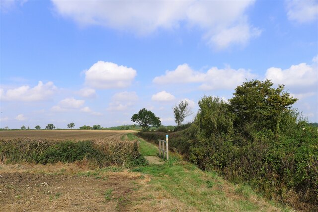
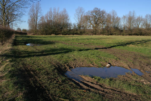
Colley Holts is a small woodland area located in the county of Lincolnshire, England. Situated near the town of Woodhall Spa, the forest covers an approximate area of 200 hectares. The woodland is part of the larger Lincolnshire Limewoods Nature Reserve, which is renowned for its rich biodiversity and historical significance.

Colley Holts is characterized by its dense canopy of deciduous trees, including oak, ash, birch, and beech. The forest floor is covered with a variety of flora, such as bluebells, primroses, and wild garlic, which create a vibrant and colorful landscape during the spring and summer months.

The woodland is home to a diverse range of wildlife, including several species of birds, small mammals, and insects. Visitors to Colley Holts may spot woodpeckers, tawny owls, badgers, and deer, among other creatures that call the forest their home.

The ancient woodland at Colley Holts has a long history, dating back centuries. The area was once used for timber production, and remnants of old woodcutting pits can still be seen. Today, the woodland is managed by the Lincolnshire Wildlife Trust, which works to preserve its natural beauty and protect the wildlife that inhabits it.

Colley Holts is a popular destination for nature enthusiasts, hikers, and birdwatchers. The forest offers several walking trails and picnic areas, allowing visitors to immerse themselves in the peaceful and tranquil surroundings. Whether it's exploring the diverse flora and fauna or simply enjoying a leisurely stroll, Colley Holts provides a delightful escape into nature.

If you have any feedback on the listing, please let us know in the comments section below.
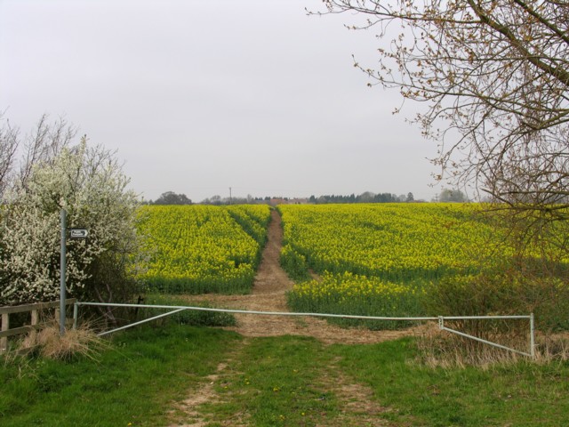
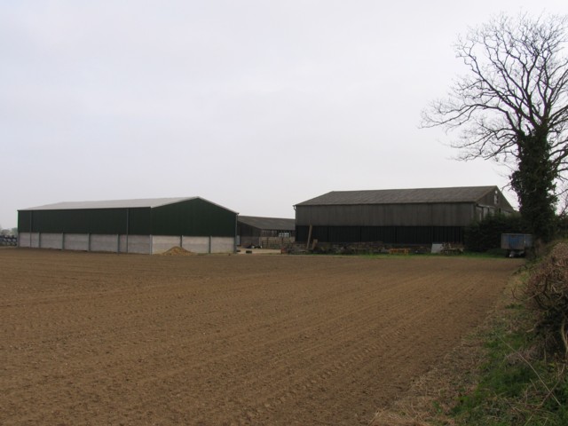
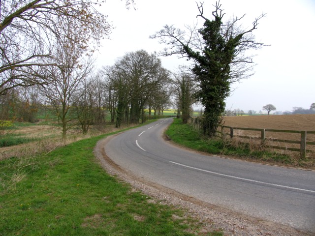
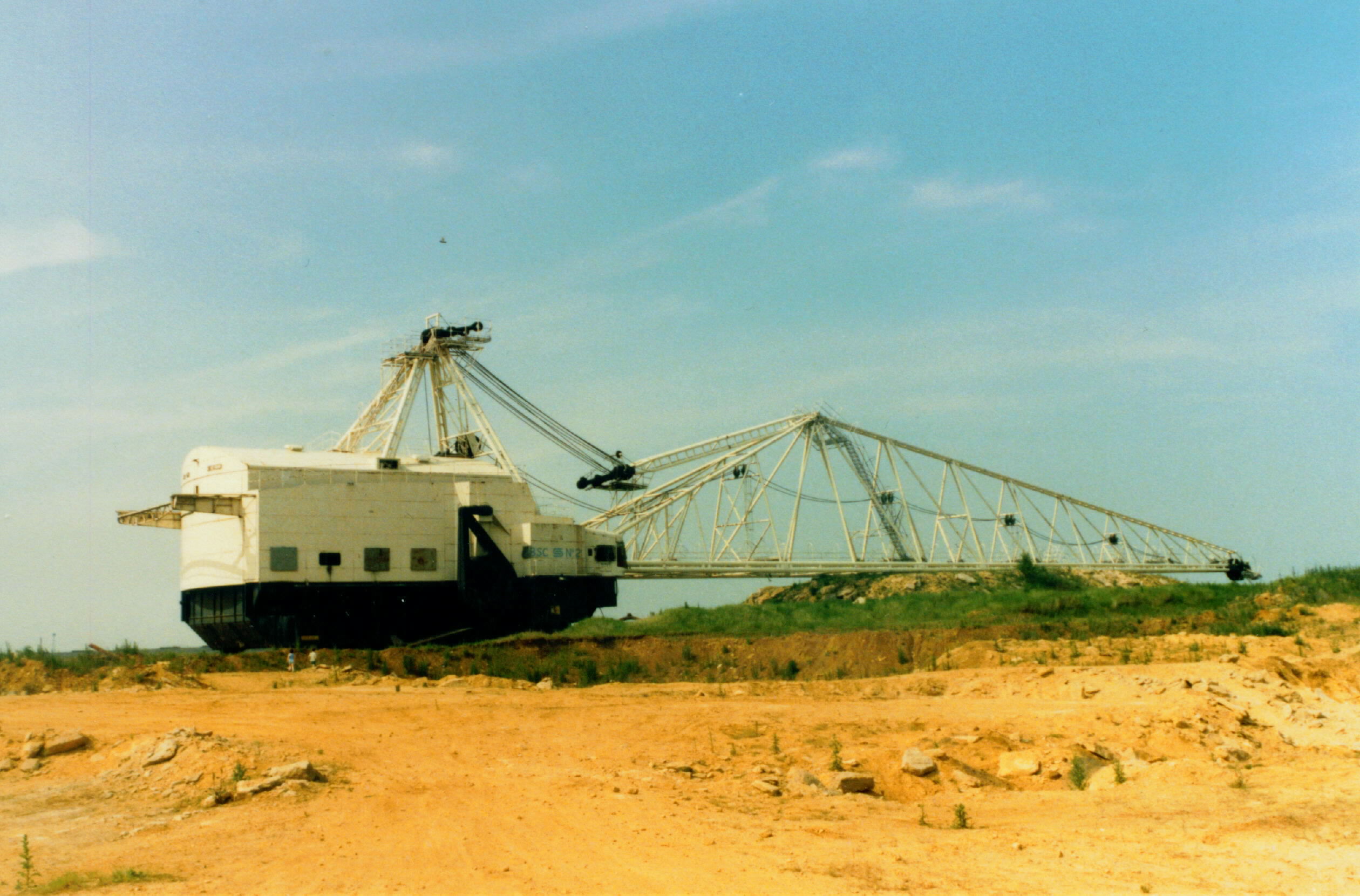
Colley Holts Images

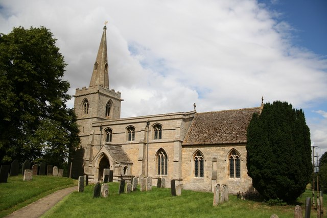
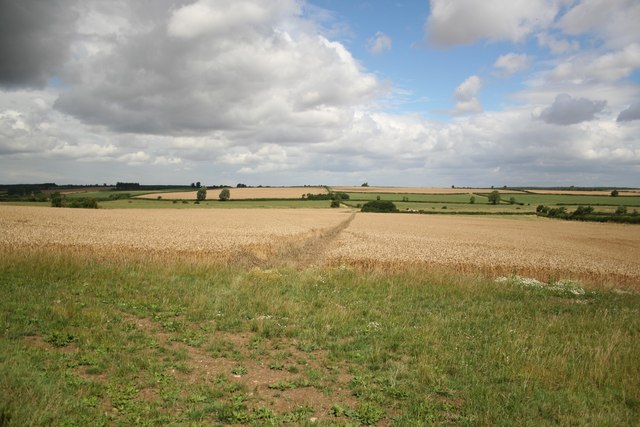
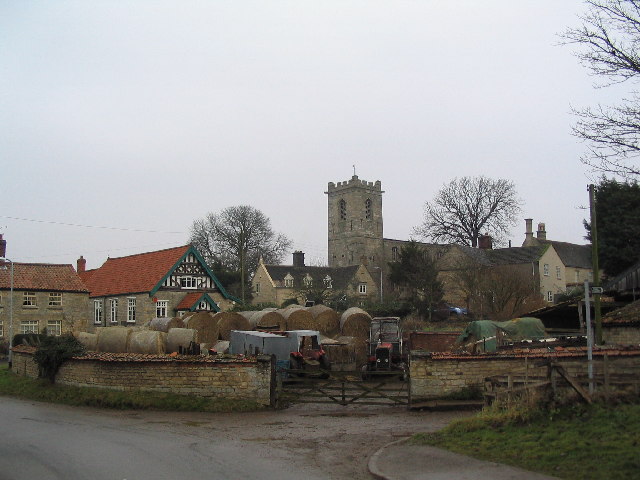
Images are sourced within 2km of 52.836461/-0.51947109 or Grid Reference SK9927. Thanks to Geograph Open Source API. All images are credited.

Bridleway north of Osgodby Coppice Taking the Danelaw Way across the flat Kesteven Uplands.
Bridleway north of Osgodby Coppice
Taking the Danelaw Way across the flat Kesteven Uplands.
The Danelaw Way running north along the edge of Osgodby Coppice A 60 mile route connecting Lincoln and Stamford, two of the ancient boroughs of the Viking Danelaw. Not yet marked on OS maps (Sept 2021), its route can be found at <span class="nowrap"><a title="https://ldwa.org.uk/ldp/members/show_path.php?path_name=Danelaw+Way" rel="nofollow ugc noopener" href="https://ldwa.org.uk/ldp/members/show_path.php?path_name=Danelaw+Way">Link</a><img style="margin-left:2px;" alt="External link" title="External link - shift click to open in new window" src="https://s1.geograph.org.uk/img/external.png" width="10" height="10"/></span>
The Danelaw Way running north along the edge of Osgodby Coppice
A 60 mile route connecting Lincoln and Stamford, two of the ancient boroughs of the Viking Danelaw. Not yet marked on OS maps (Sept 2021), its route can be found at LinkExternal link
Houses on Corby Road, Bitchfield Another one for unpleasant sounding names.
Houses on Corby Road, Bitchfield
Another one for unpleasant sounding names.
Corby Road, Bitchfield
Corby Road, Bolton-le-Coggles
Farmland at Corby Pasture The map shows a farm track here but, although there are tractor tracks along the edge of the field, the track has been ploughed up and has become part of the field.
Farmland at Corby Pasture
The map shows a farm track here but, although there are tractor tracks along the edge of the field, the track has been ploughed up and has become part of the field.
Camp Lane off Irnham Road This green road meets the B1176 in <a href="https://www.geograph.org.uk/gridref/SK9826">SK9826</a> near Burton-le-Coggles. The sign on Irnham Road says it's a "Restricted Byway".
Camp Lane off Irnham Road
This green road meets the B1176 in SK9826 near Burton-le-Coggles. The sign on Irnham Road says it's a "Restricted Byway".
Trees near Coby Pasture Farm The woodland on the rising ground beyond is one of the extensive ancient woodland sites across this area that make up Kestevan Forest. See <span class="nowrap"><a title="http://www.forestry.gov.uk/website/recreation.nsf/LUWebDocsByKey/EnglandLincolnshireKestevenForest" rel="nofollow ugc noopener" href="http://www.forestry.gov.uk/website/recreation.nsf/LUWebDocsByKey/EnglandLincolnshireKestevenForest">Link</a><img style="margin-left:2px;" alt="External link" title="External link - shift click to open in new window" src="https://s1.geograph.org.uk/img/external.png" width="10" height="10"/></span>
Trees near Coby Pasture Farm
The woodland on the rising ground beyond is one of the extensive ancient woodland sites across this area that make up Kestevan Forest. See LinkExternal link
Irnham Road/Corby Road This country road changes its name here. As it goes southwest to Corby Glen it's Irnham Road; as it goes northeast to Irnham it becomes Corby Road. The wood on the left is Old Park Wood, part of the old Irnham Hall estate.
Irnham Road/Corby Road
This country road changes its name here. As it goes southwest to Corby Glen it's Irnham Road; as it goes northeast to Irnham it becomes Corby Road. The wood on the left is Old Park Wood, part of the old Irnham Hall estate.
Old Park Wood This wood is an SSSI (Site of Special Scientific Interest). The bank across the centre of the photograph, (most clearly seen to the right of the farm trailer) surrounds a small square moat which has a water filled channel overgrown with reeds and bull rushes. The trees just behind the trailer are actually on the small raised piece of land protected by the moat.
Old Park Wood
This wood is an SSSI (Site of Special Scientific Interest). The bank across the centre of the photograph, (most clearly seen to the right of the farm trailer) surrounds a small square moat which has a water filled channel overgrown with reeds and bull rushes. The trees just behind the trailer are actually on the small raised piece of land protected by the moat.
DEFRA Conservation walk A circular walk round the old Irnham Hall parkland. 
This wooden bridge crosses a small clear stream that eventually feeds the lake at Grimsthorpe Castle in <a href="https://www.geograph.org.uk/gridref/TF0322">TF0322</a>.
DEFRA Conservation walk
A circular walk round the old Irnham Hall parkland. This wooden bridge crosses a small clear stream that eventually feeds the lake at Grimsthorpe Castle in TF0322.
Irnham conservation walk Lots of the trees along this walk were covered in this orange lichen, a testament to how clean the air is here.
Irnham conservation walk
Lots of the trees along this walk were covered in this orange lichen, a testament to how clean the air is here.
Footpath to Scotland Scotland Lane and Scotland House are at the other end of this footpath.
Footpath to Scotland
Scotland Lane and Scotland House are at the other end of this footpath.
Buildings at Ingoldsby Grange
Road to Ingoldsby
Road to Ingoldsby
Far Old Park Wood The wood across the horizon more or less fills the southern half of this square. To the left it falls away down the contours into <a href="https://www.geograph.org.uk/gridref/TF0127">TF0127</a>. The crop in the field is wheat, growing away strongly despite the soil being very dry. The view is from the bridleway, which follows the edge of Osgodby Coppice, in the north eastern corner of the square.
Far Old Park Wood
The wood across the horizon more or less fills the southern half of this square. To the left it falls away down the contours into TF0127. The crop in the field is wheat, growing away strongly despite the soil being very dry. The view is from the bridleway, which follows the edge of Osgodby Coppice, in the north eastern corner of the square.
Osgodby Coppice This piece of mixed woodland sits across the confluence of four squares. The bridleway follows the edge of the trees into the next square north where it crosses the fields on its way to Ingoldsby, in <a href="https://www.geograph.org.uk/gridref/TF0130">TF0130</a>.
Osgodby Coppice
This piece of mixed woodland sits across the confluence of four squares. The bridleway follows the edge of the trees into the next square north where it crosses the fields on its way to Ingoldsby, in TF0130.
Show me another place!

Colley Holts is located at Grid Ref: SK9927 (Lat: 52.836461, Lng: -0.51947109)

Administrative County: Lincolnshire

District: South Kesteven

Police Authority: Lincolnshire

What 3 Words

///prevented.debut.helpfully. Near Corby Glen, Lincolnshire

Related Wikis

Northampton Sand Formation

The Northampton Sand Formation, sometimes called the Northamptonshire Sand, is a Middle Jurassic geological formation which is placed within the Inferior...

Bitchfield

Bitchfield is a small village in the South Kesteven district of Lincolnshire, England. It consists of two groups of buildings connected by Dark Lane, known...

Bitchfield and Bassingthorpe

Bitchfield and Bassingthorpe is a civil parish which includes Boothby Pagnell and Burton Coggles in the South Kesteven district of Lincolnshire, England...

St John the Evangelist's Church, Corby Glen

The Church of St John the Evangelist is a Grade I listed Church of England parish church dedicated to John the Evangelist, in Corby Glen, Lincolnshire...

Burton Coggles

Burton Coggles (full name Burton-le-Coggles from Byrton-en-les-Coggles) is a small village and civil parish in the South Kesteven district of Lincolnshire...

Westby, Lincolnshire

Westby is a hamlet in the civil parish of Bitchfield and Bassingthorpe, in the South Kesteven district of Lincolnshire, England. It is situated approximately...

Corby Glen

Corby Glen is a village and civil parish in the South Kesteven district of Lincolnshire, England. It is approximately 9 miles (14 km) south-east of the...

Irnham

Irnham is a village and civil parish in South Kesteven, Lincolnshire, England. It is situated approximately 10 miles (16 km) south-east from Grantham...

Have you been to Colley Holts?

Leave your review of Colley Holts below (or comments, questions and feedback).