Century Plantation
Wood, Forest in Lincolnshire North Kesteven
England
Century Plantation

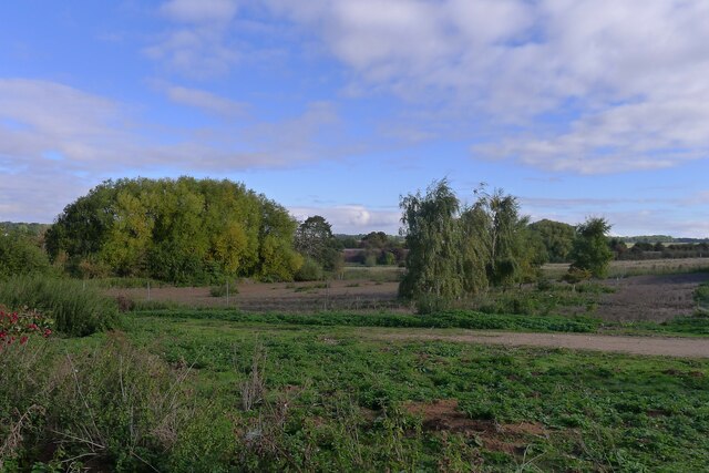
Century Plantation is a picturesque woodland located in Lincolnshire, England. Covering an expansive area, the plantation is known for its dense and diverse forest, making it a haven for nature enthusiasts and wildlife alike.
The woodland is characterized by a variety of tree species, including oak, beech, and birch, which create a rich and vibrant ecosystem. The tall and majestic trees provide a canopy that allows sunlight to filter through, creating a unique and enchanting atmosphere. The forest floor is adorned with a carpet of ferns, moss, and wildflowers, adding to the natural beauty of the plantation.
Century Plantation is also home to a wide array of wildlife, making it a popular spot for birdwatchers and nature photographers. Visitors may catch a glimpse of native species such as woodpeckers, owls, and various songbirds. The woodland also supports a diverse range of mammals, including deer, foxes, and rabbits, which can be spotted during quiet walks through the forest trails.
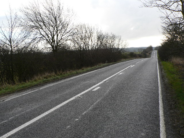
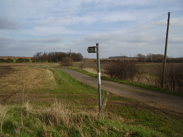
The plantation offers a range of recreational activities for visitors to enjoy. There are well-maintained walking trails that wind through the woodland, allowing visitors to explore the beauty of the forest at their own pace. Picnic areas and benches are scattered throughout, providing opportunities for visitors to relax and soak in the peaceful surroundings. Additionally, the plantation hosts educational programs and guided tours, providing visitors with the opportunity to learn about the flora, fauna, and history of the area.
Overall, Century Plantation in Lincolnshire is a natural gem, offering a tranquil and immersive experience in the heart of nature.
If you have any feedback on the listing, please let us know in the comments section below.
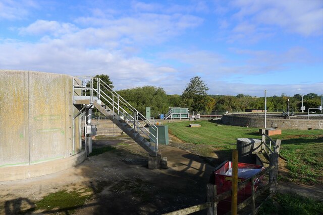
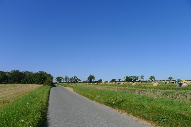
Century Plantation Images
Images are sourced within 2km of 53.002033/-0.51384268 or Grid Reference SK9946. Thanks to Geograph Open Source API. All images are credited.


Century Plantation is located at Grid Ref: SK9946 (Lat: 53.002033, Lng: -0.51384268)
Administrative County: Lincolnshire
District: North Kesteven
Police Authority: Lincolnshire
What 3 Words
///gurgling.trips.announce. Near Ancaster, Lincolnshire
Nearby Locations
Related Wikis
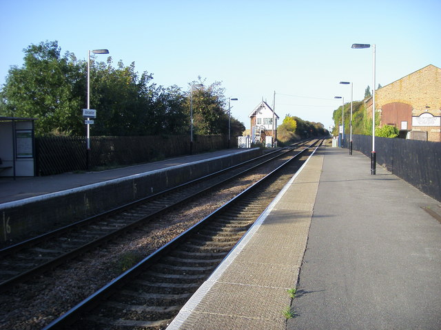
Ancaster railway station
Ancaster railway station serves the village of Ancaster in Lincolnshire, England. The station is 11.5 miles (19 km) north of Grantham on the Nottingham...

North Rauceby
North Rauceby is a village and civil parish in the North Kesteven district of Lincolnshire, England. It is situated 4 miles (6 km) north-west from Sleaford...

Ancaster (Roman town)
Ancaster was a small town in the Roman province of Britannia. It is sited on the Roman road known as the Ermine Street and is situated in the county of...
Wilsford, Lincolnshire
Wilsford is a village and civil parish in the North Kesteven district of Lincolnshire, England. The population of the civil parish was 400 at the 2011...

South Rauceby
South Rauceby is a village and civil parish in the North Kesteven district of Lincolnshire, England. It is situated 2.5 miles (4.0 km) west from Sleaford...
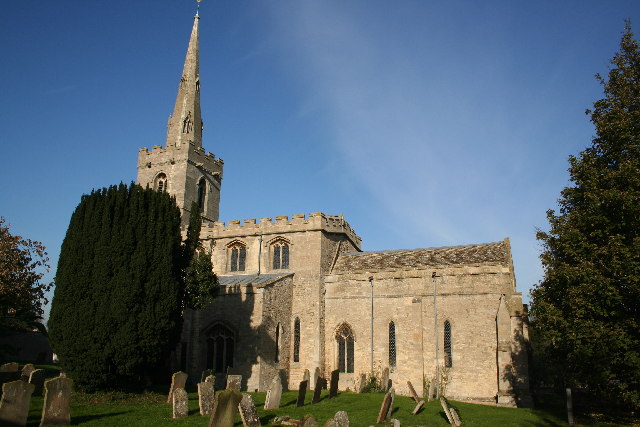
St Martin's Church, Ancaster
St Martin's Church is a Grade I listed Anglican church, dedicated to Martin of Tours, in Ancaster, Lincolnshire, England. The church is 6 miles (10 km...

Sudbrook, Lincolnshire
Sudbrook is a hamlet in the South Kesteven district of Lincolnshire, England. It is situated 12 miles (19 km) south-east of Newark-on-Trent, 6 miles (10...

South Rauceby Hall
South Rauceby Hall, South Rauceby, Lincolnshire, England is a country house dating from the mid-19th century. It was designed by William Burn in 1842 for...
Have you been to Century Plantation?
Leave your review of Century Plantation below (or comments, questions and feedback).