Lawn Wood
Wood, Forest in Lincolnshire South Kesteven
England
Lawn Wood

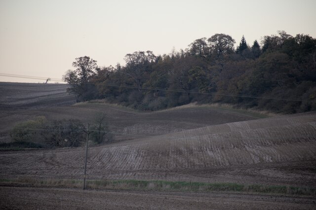
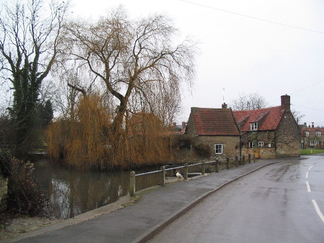
Lawn Wood is a picturesque forest located in the county of Lincolnshire, England. Spanning over an area of approximately 100 acres, it is a popular destination for nature enthusiasts and outdoor adventurers alike. The wood is situated near the village of Lawn, which lends its name to this tranquil haven.
Lawn Wood boasts a diverse range of flora and fauna, making it an ideal spot for wildlife enthusiasts. The forest is predominantly composed of deciduous trees, including oak, beech, and birch, which create a stunning canopy overhead. These trees provide a habitat for various bird species, such as woodpeckers, nuthatches, and tawny owls. Additionally, the forest floor is adorned with an array of wildflowers during the spring and summer months, adding to the natural beauty of the area.
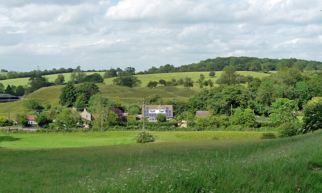
Visitors to Lawn Wood can enjoy a plethora of activities. There are numerous walking trails that wind through the forest, allowing visitors to immerse themselves in the serene surroundings. These trails cater to all levels of fitness, from leisurely strolls to more challenging hikes. Furthermore, the wood offers several picnic areas, providing a perfect setting for a family outing or a peaceful lunch amidst nature.
Lawn Wood is not only a haven for wildlife and outdoor enthusiasts but also serves as a valuable recreational resource for the local community. Its natural beauty and tranquility make it an ideal escape from the hustle and bustle of everyday life, offering a place to reconnect with nature and enjoy the peacefulness of the forest.
If you have any feedback on the listing, please let us know in the comments section below.
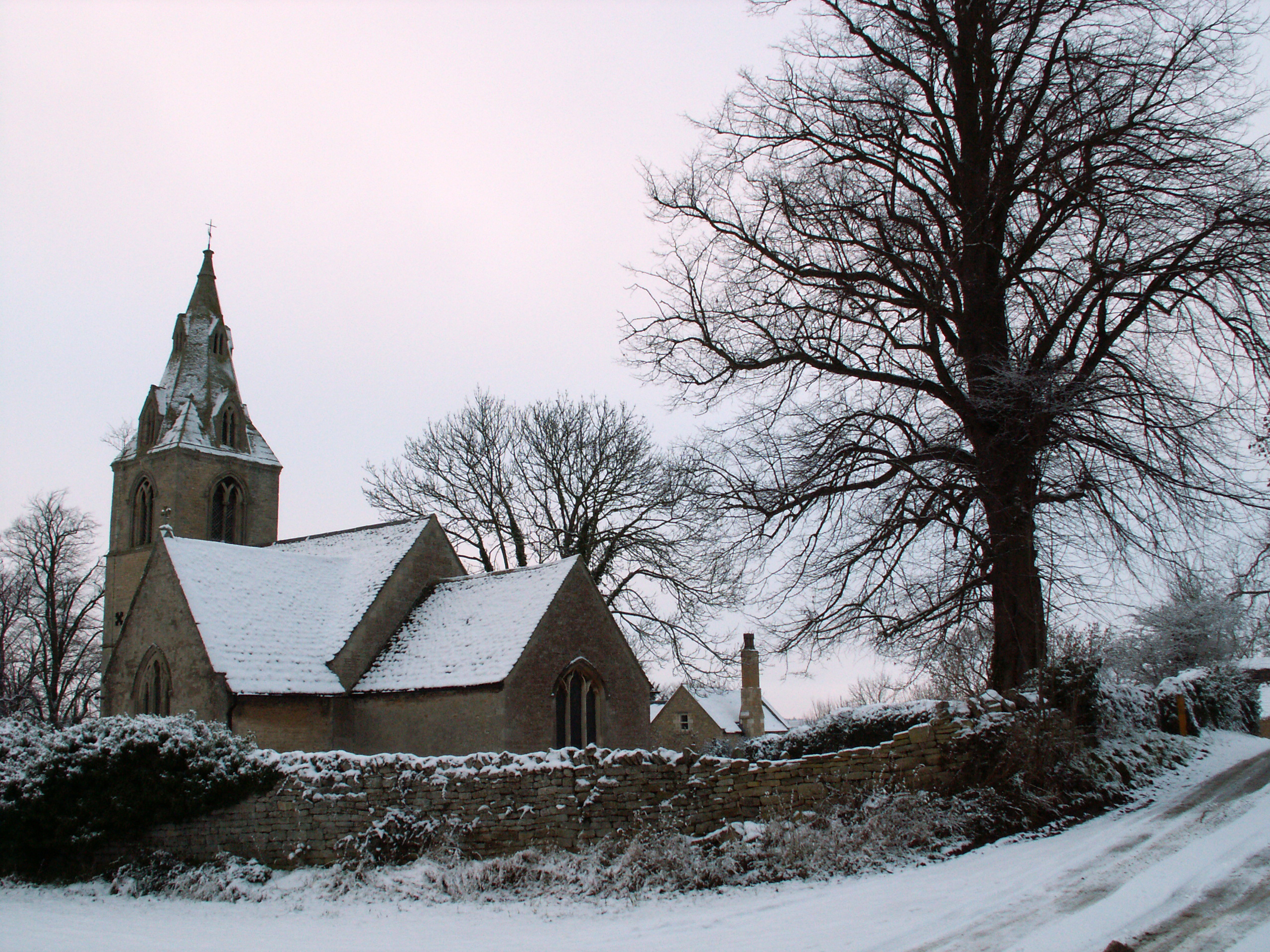
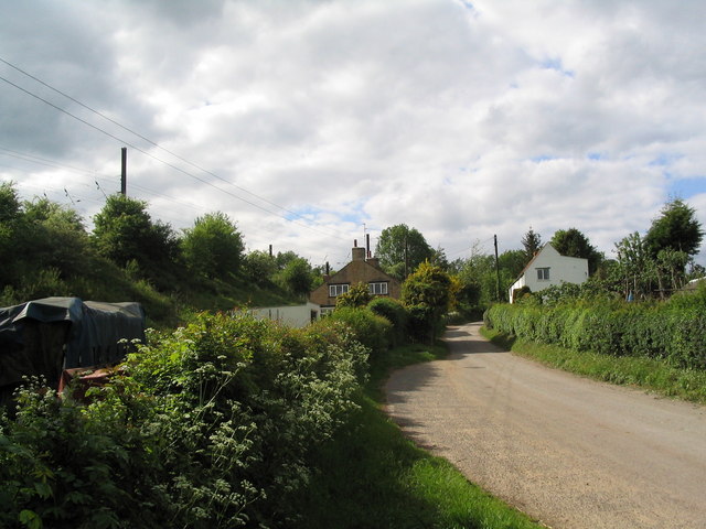
Lawn Wood Images
Images are sourced within 2km of 52.760255/-0.52273839 or Grid Reference SK9919. Thanks to Geograph Open Source API. All images are credited.


Lawn Wood is located at Grid Ref: SK9919 (Lat: 52.760255, Lng: -0.52273839)
Administrative County: Lincolnshire
District: South Kesteven
Police Authority: Lincolnshire
What 3 Words
///rainwater.spells.walled. Near Clipsham, Rutland
Nearby Locations
Related Wikis
Bytham Castle
Bytham Castle was a castle in the village of Castle Bytham in Lincolnshire (grid reference SK992186.) The castle is thought to be of early Norman origin...
Castle Bytham
Castle Bytham is a village and civil parish of around 300 houses in South Kesteven, Lincolnshire, England. It is located 9 miles (14 km) north of Stamford...
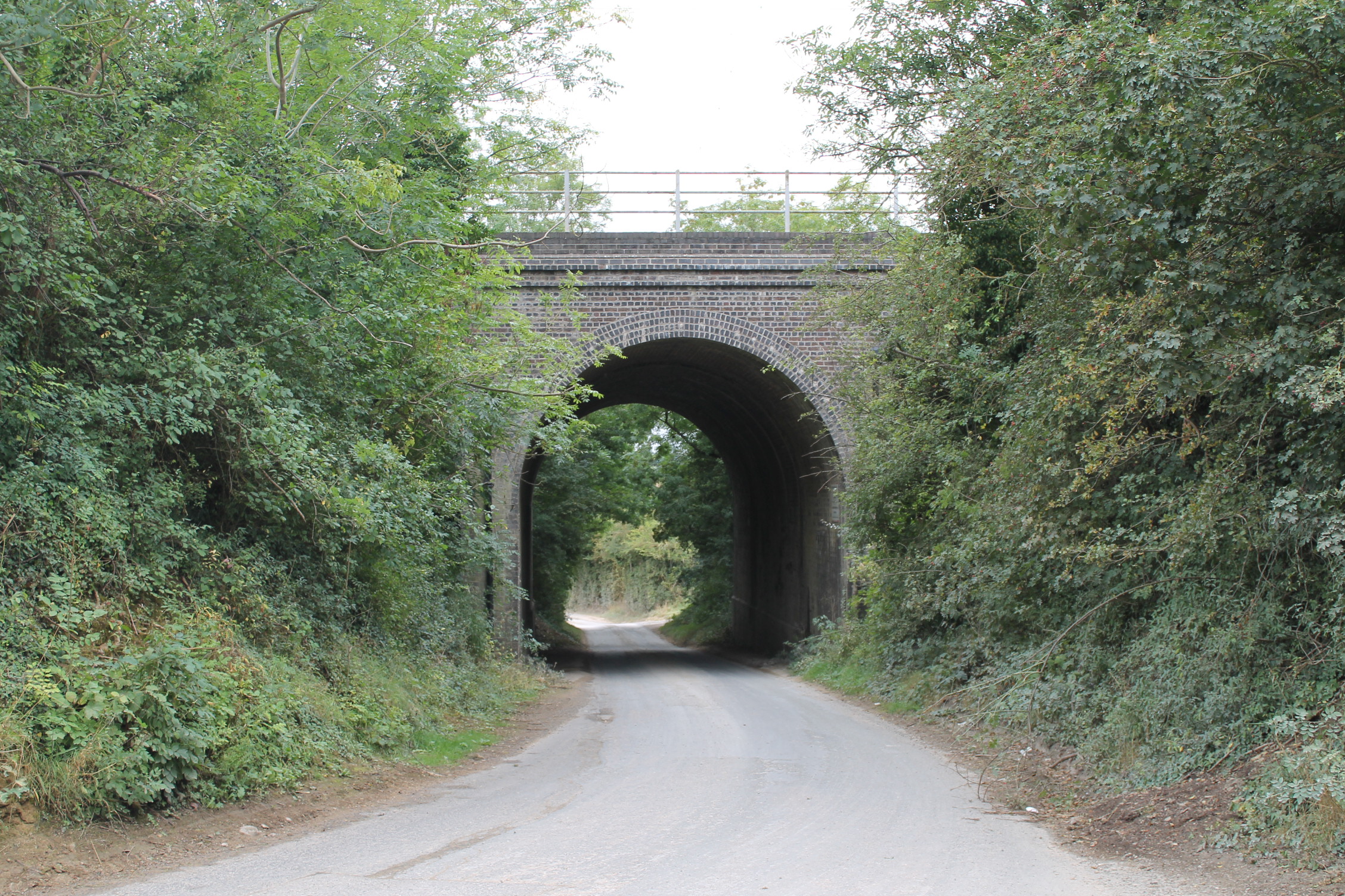
Castle Bytham railway station
Castle Bytham railway station was a station in Castle Bytham. It was Midland Railway property but train services were operated by the Midland and Great...
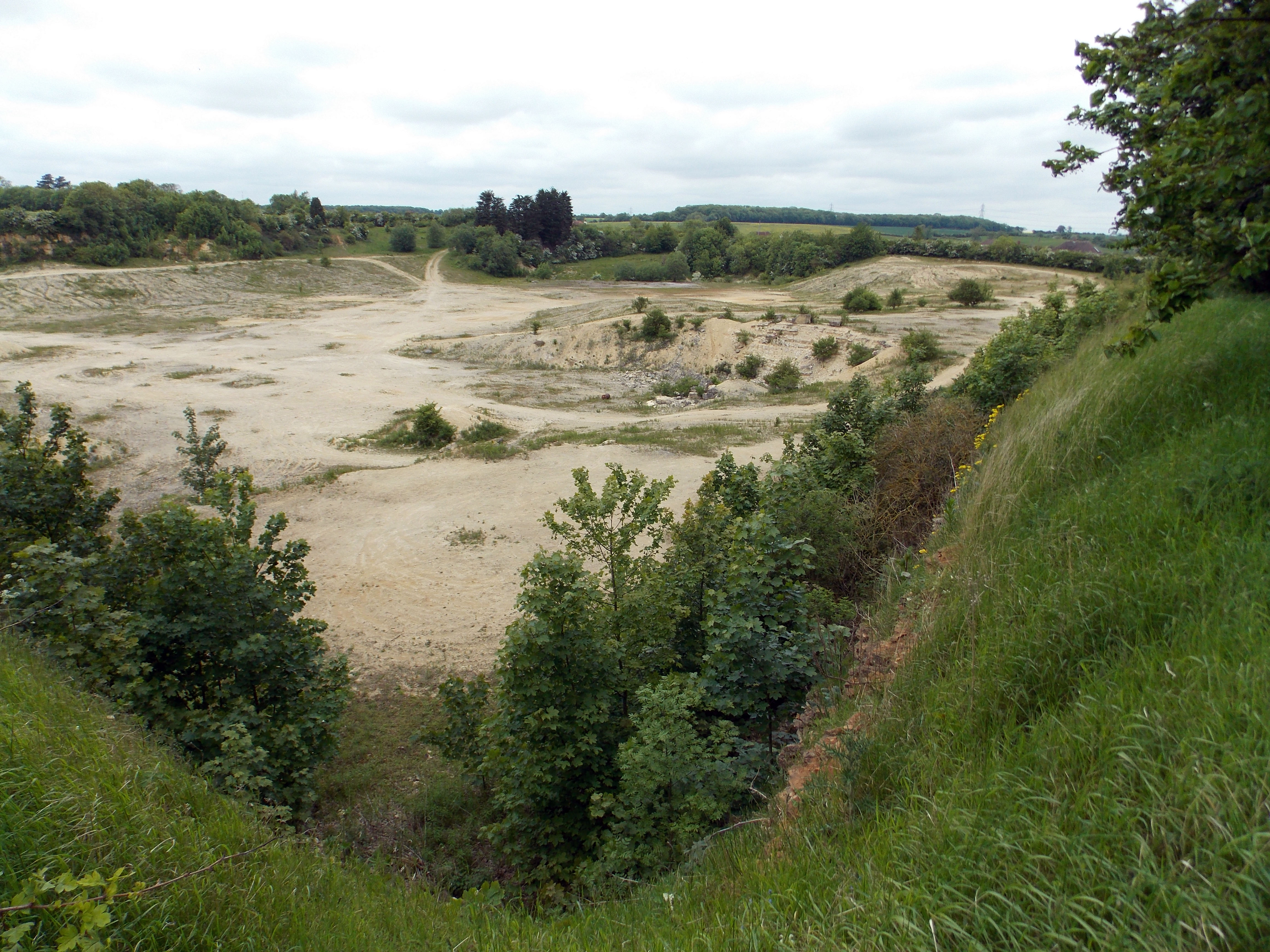
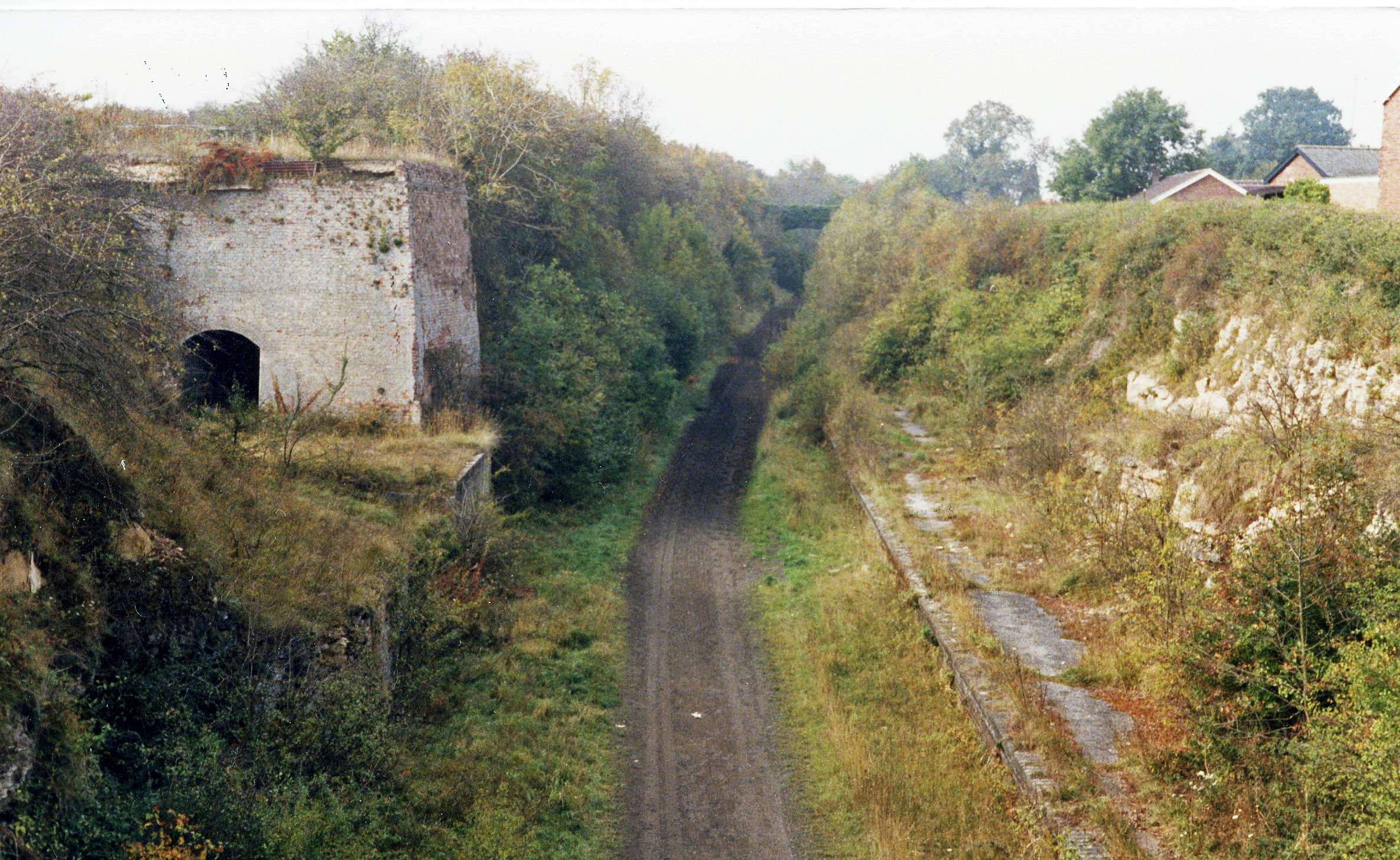
Castle Bytham Quarry
Castle Bytham quarry is a disused quarry located close to the centre of the village of Castle Bytham, Lincolnshire, England. It is famous for the exposure...
Counthorpe and Creeton
Counthorpe and Creeton is a civil parish in the South Kesteven district of Lincolnshire, England. According to the 2001 census it had a population of...
Creeton
Creeton is a hamlet in the civil parish of Counthorpe and Creeton in the South Kesteven district of Lincolnshire, England. It is situated 3 miles (5 km...
Counthorpe
Counthorpe is a hamlet in the civil parish of Counthorpe and Creeton in the South Kesteven district of Lincolnshire, England. It adjoins the hamlet of...
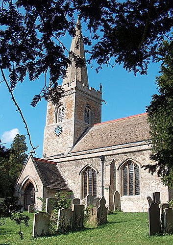
St Medardus and St Gildardus Church, Little Bytham
The church of St Medardus and St Gildardus in Little Bytham, Lincolnshire, England, is a Grade I listed building. It is dedicated to two 6th-century French...
Nearby Amenities
Located within 500m of 52.760255,-0.52273839Have you been to Lawn Wood?
Leave your review of Lawn Wood below (or comments, questions and feedback).