Barbins Copse
Wood, Forest in Surrey Waverley
England
Barbins Copse

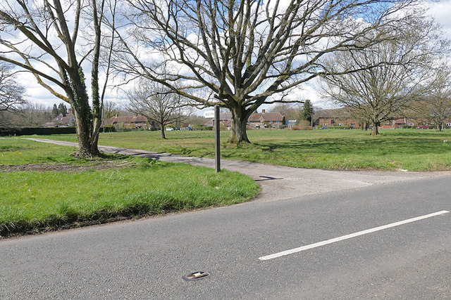
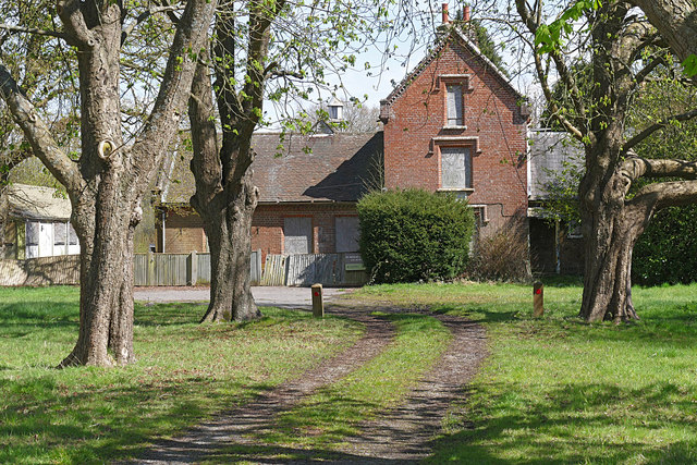
Barbins Copse is a picturesque woodland located in the county of Surrey, England. Spanning over several acres, this enchanting forest is a haven for nature lovers and outdoor enthusiasts alike. The copse is nestled within the rolling hills of Surrey, surrounded by charming rural landscapes and quaint villages.
Renowned for its natural beauty, Barbins Copse boasts a diverse range of flora and fauna. Towering oak and beech trees dominate the woodland, their majestic canopies providing shelter for a variety of wildlife. Visitors can expect to encounter a plethora of bird species, including woodpeckers, owls, and songbirds, filling the air with their melodic tunes. Squirrels, rabbits, and deer are also commonly spotted within the copse, adding to its idyllic charm.
Tranquility and solitude are in abundance at Barbins Copse, making it an ideal destination for those seeking a peaceful retreat from the hustle and bustle of everyday life. The forest offers a network of well-maintained walking trails, allowing visitors to explore its depths and immerse themselves in its natural splendor. Along these paths, one can stumble upon hidden clearings, bubbling streams, and wildflower meadows, creating a sense of wonder and discovery around every corner.
Barbins Copse is a true gem of Surrey, offering a serene escape for nature enthusiasts and a sanctuary for wildlife. Whether it's a leisurely stroll, a bird-watching expedition, or simply a moment of reflection amidst nature's tranquility, this enchanting woodland provides the perfect backdrop for an unforgettable experience.
If you have any feedback on the listing, please let us know in the comments section below.
Barbins Copse Images
Images are sourced within 2km of 51.106237/-0.57690538 or Grid Reference SU9935. Thanks to Geograph Open Source API. All images are credited.


Barbins Copse is located at Grid Ref: SU9935 (Lat: 51.106237, Lng: -0.57690538)
Administrative County: Surrey
District: Waverley
Police Authority: Surrey
What 3 Words
///alien.spenders.rebounder. Near Chiddingfold, Surrey
Nearby Locations
Related Wikis

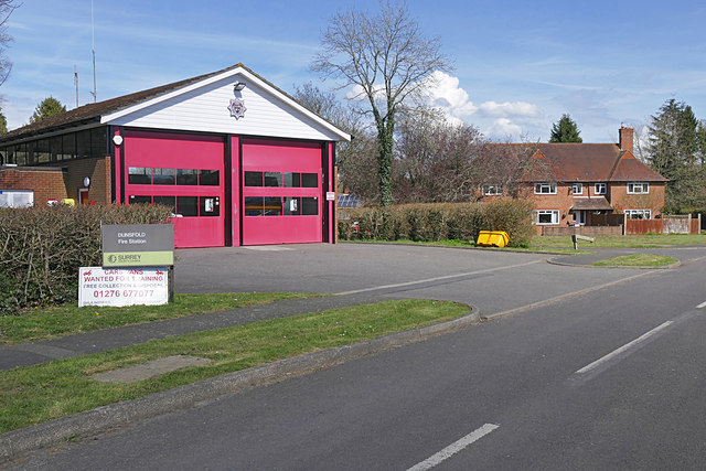
Dunsfold
Dunsfold is a village in the borough of Waverley, Surrey, England, 8.7 miles (14.0 kilometres) south of Guildford. It lies in the Weald and reaches in...

Chiddingfold Forest
Chiddingfold Forest is a 542.5-hectare (1,341-acre) biological Site of Special Scientific Interest in Chiddingfold in Surrey and West Sussex. One part...

Fir Tree Copse
Fir Tree Copse is a 6-hectare (15-acre) nature reserve south-east of Dunsfold in Surrey. It is managed by the Surrey Wildlife Trust and is part of the...

Top Gear test track
The Top Gear test track is used by the BBC automotive television programme Top Gear. It is located at Dunsfold Aerodrome in Surrey, United Kingdom. The...

The Farm (recording studio)
The Farm (also known as Fisher Lane Farm) was a recording studio in Chiddingfold, Surrey owned by the rock band Genesis. The group bought the property...

Pickhurst
Pickhurst is a grade II* listed house set in 130 acres (53 ha) of land near Chiddingfold, Surrey, England. == History == It was designed by the Scottish...

Dunsfold Aerodrome
Dunsfold Aerodrome (former ICAO code EGTD) is an unlicensed airfield in Surrey, England, near the village of Cranleigh. It extends across land in the villages...

Hascombe Hill
Hascombe Hill or Hascombe Camp is the site of an Iron Age multivallate hill fort close to the village of Hascombe in Surrey, England. == History == The...
Nearby Amenities
Located within 500m of 51.106237,-0.57690538Have you been to Barbins Copse?
Leave your review of Barbins Copse below (or comments, questions and feedback).