Standing Wood
Wood, Forest in Surrey Waverley
England
Standing Wood
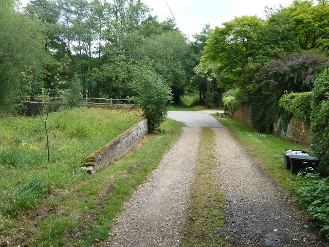
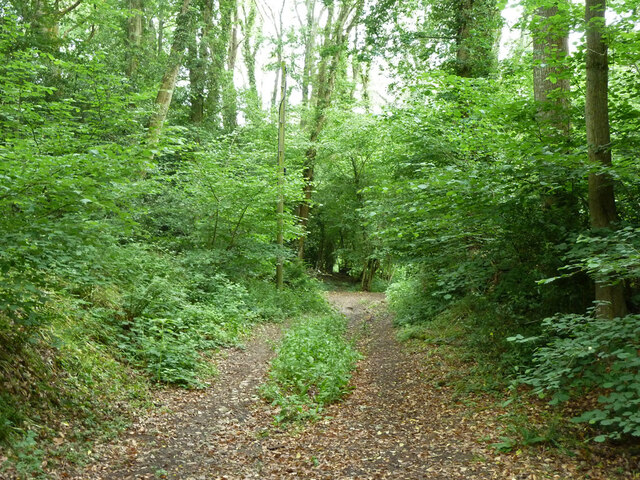
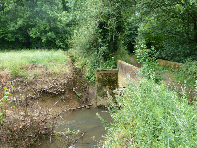
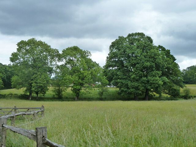
Standing Wood is a picturesque forest located in the county of Surrey, England. Covering an area of approximately 100 acres, it is a popular destination for nature lovers and outdoor enthusiasts. The wood is characterized by its dense canopy of mature trees, including oak, beech, and birch, which provide a tranquil and shaded environment for visitors to enjoy.
The forest boasts an abundance of wildlife, making it a haven for birdwatchers and animal enthusiasts. Common sightings include various species of birds such as woodpeckers, tits, and thrushes, as well as small mammals like rabbits, squirrels, and foxes. The diverse ecosystem of Standing Wood also supports a wide range of plant life, with bluebells carpeting the forest floor in the spring, adding a burst of color to the natural landscape.
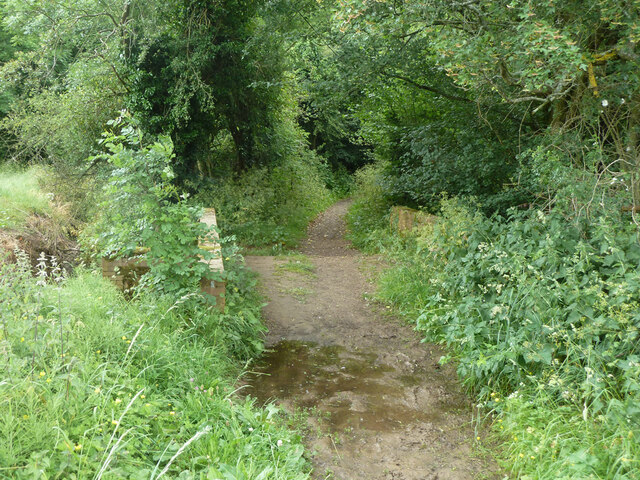
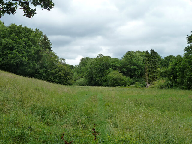
Visitors to Standing Wood can explore a network of well-maintained walking trails, which wind their way through the forest, offering opportunities for leisurely strolls and peaceful picnics. The trails are suitable for all levels of fitness and are clearly signposted, ensuring that visitors can easily navigate their way around the wood.
In addition to its natural beauty, Standing Wood holds historical significance. It is believed that the wood has been a source of timber for centuries, contributing to the local economy. Today, efforts are made to sustainably manage the forest, ensuring the preservation of its natural resources for future generations to enjoy.
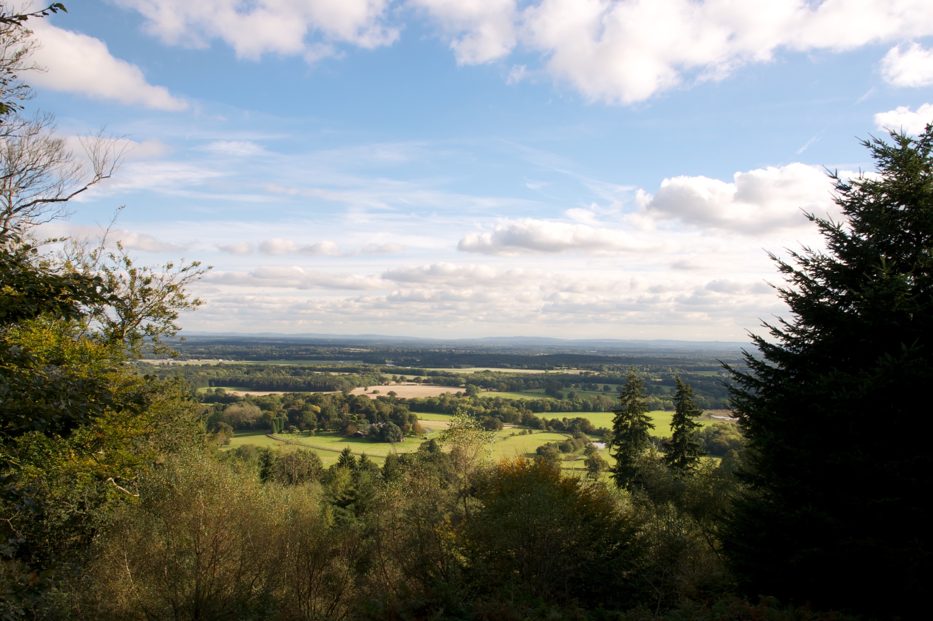
Overall, Standing Wood in Surrey is a captivating destination that offers visitors a chance to immerse themselves in the beauty of nature, explore its diverse flora and fauna, and experience a sense of tranquility within its peaceful surroundings.
If you have any feedback on the listing, please let us know in the comments section below.
Standing Wood Images
Images are sourced within 2km of 51.111246/-0.57765155 or Grid Reference SU9935. Thanks to Geograph Open Source API. All images are credited.
Standing Wood is located at Grid Ref: SU9935 (Lat: 51.111246, Lng: -0.57765155)
Administrative County: Surrey
District: Waverley
Police Authority: Surrey
What 3 Words
///highbrow.cried.book. Near Chiddingfold, Surrey
Nearby Locations
Related Wikis
Dunsfold
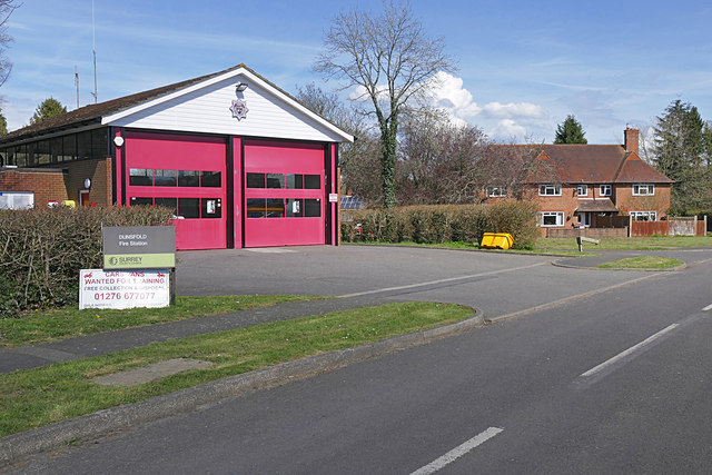
Dunsfold is a village in the borough of Waverley, Surrey, England, 8.7 miles (14.0 kilometres) south of Guildford. It lies in the Weald and reaches in...
Chiddingfold Forest
Chiddingfold Forest is a 542.5-hectare (1,341-acre) biological Site of Special Scientific Interest in Chiddingfold in Surrey and West Sussex. One part...
Top Gear test track
The Top Gear test track is used by the BBC automotive television programme Top Gear. It is located at Dunsfold Aerodrome in Surrey, United Kingdom. The...
Fir Tree Copse
Fir Tree Copse is a 6-hectare (15-acre) nature reserve south-east of Dunsfold in Surrey. It is managed by the Surrey Wildlife Trust and is part of the...
Hascombe Hill
Hascombe Hill or Hascombe Camp is the site of an Iron Age multivallate hill fort close to the village of Hascombe in Surrey, England. == History == The...
Dunsfold Aerodrome
Dunsfold Aerodrome (former ICAO code EGTD) is an unlicensed airfield in Surrey, England, near the village of Cranleigh. It extends across land in the villages...
Pickhurst
Pickhurst is a grade II* listed house set in 130 acres (53 ha) of land near Chiddingfold, Surrey, England. == History == It was designed by the Scottish...
The Farm (recording studio)
The Farm (also known as Fisher Lane Farm) was a recording studio in Chiddingfold, Surrey owned by the rock band Genesis. The group bought the property...
Nearby Amenities
Located within 500m of 51.111246,-0.57765155Have you been to Standing Wood?
Leave your review of Standing Wood below (or comments, questions and feedback).
