Wakes End Wood
Wood, Forest in Bedfordshire
England
Wakes End Wood
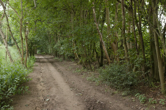
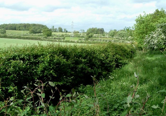
Wakes End Wood is a charming forest located in the county of Bedfordshire, England. Spread across a vast area, the wood is nestled amidst the picturesque countryside, offering a tranquil escape from the bustling city life. With its rich biodiversity and enchanting scenery, Wakes End Wood serves as a popular destination for nature enthusiasts and hikers alike.
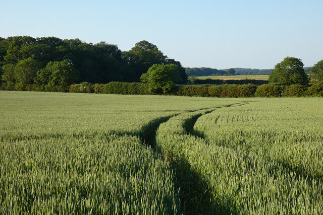
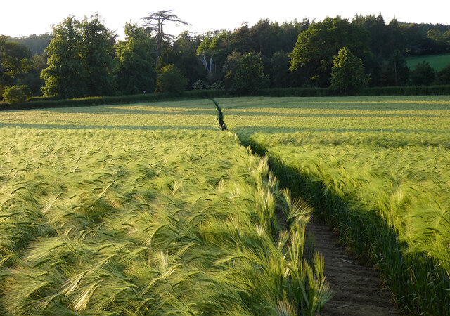
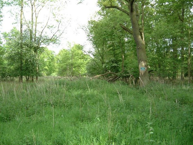
The wood boasts a diverse range of flora and fauna, including ancient oak trees, birch trees, and vibrant wildflowers that bloom throughout the year. The forest floor is adorned with a lush carpet of moss, creating a serene and magical atmosphere. Visitors can also spot various species of birds, small mammals, and insects thriving within the wood.
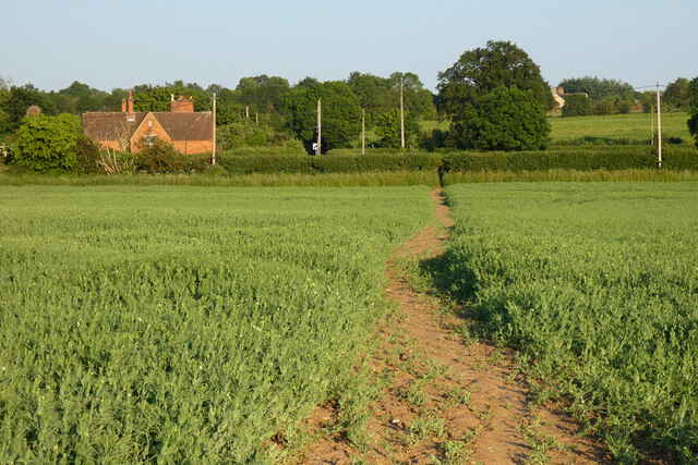
A network of well-maintained trails and pathways winds through the wood, allowing visitors to explore its beauty at their own pace. These paths cater to different levels of difficulty, providing opportunities for leisurely strolls or more challenging hikes. The wood is also home to several picnic spots, where visitors can relax and enjoy the peaceful surroundings while indulging in a packed lunch.
Wakes End Wood holds historical significance as well, with remnants of ancient earthworks and boundaries dating back centuries. Archaeological finds suggest that the wood has been inhabited since prehistoric times, adding a layer of intrigue to its natural allure.
Overall, Wakes End Wood offers a delightful escape into nature, allowing visitors to immerse themselves in the beauty of the Bedfordshire countryside. Whether it's for a leisurely walk, birdwatching, or simply finding solace in the tranquility of the forest, this woodland gem is a must-visit destination for nature lovers and history enthusiasts alike.
If you have any feedback on the listing, please let us know in the comments section below.
Wakes End Wood Images
Images are sourced within 2km of 52.005713/-0.55085695 or Grid Reference SP9935. Thanks to Geograph Open Source API. All images are credited.


Wakes End Wood is located at Grid Ref: SP9935 (Lat: 52.005713, Lng: -0.55085695)
Unitary Authority: Central Bedfordshire
Police Authority: Bedfordshire
What 3 Words
///rooftop.conned.downcast. Near Steppingley, Bedfordshire
Nearby Locations
Related Wikis

Steppingley
Steppingley is a rural village and civil parish in Bedfordshire, England. It stands on high ground in the centre of a small parish of about 562 ha on...
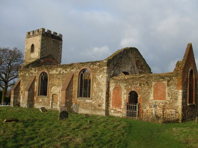
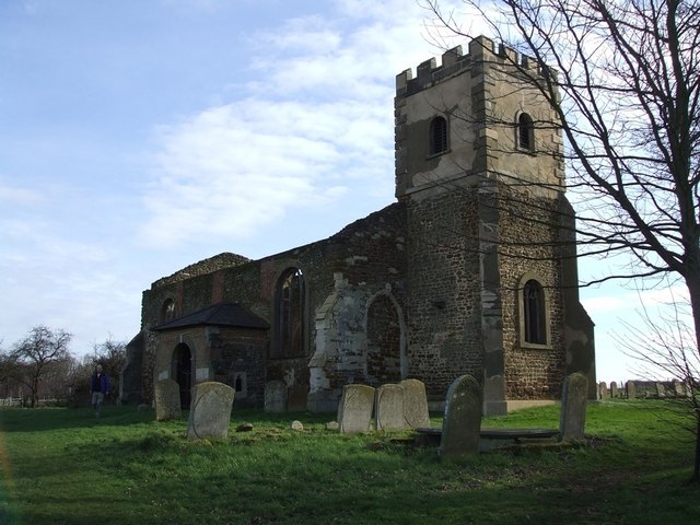
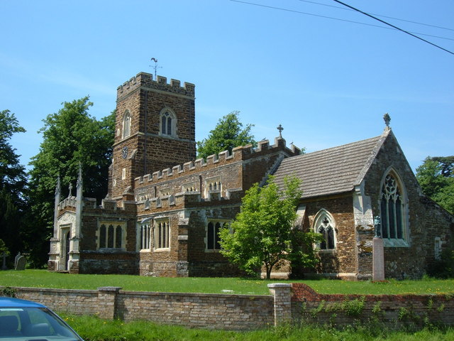
All Saints Church, Segenhoe
All Saints Church, Segenhoe is a ruined medieval church located near the village of Ridgmont, Bedfordshire. It contains architectural details that range...

Ridgmont
Ridgmont is a small village and civil parish in Bedfordshire, England. It is located beside junction 13 of the M1 motorway, and close to Milton Keynes...
Eversholt
Eversholt is a village and civil parish located in Bedfordshire, England. It was mentioned in the Domesday Book and is over 1000 years old. "Eversholt...
Nearby Amenities
Located within 500m of 52.005713,-0.55085695Have you been to Wakes End Wood?
Leave your review of Wakes End Wood below (or comments, questions and feedback).