Shortland Copse

Wood, Forest in Sussex Chichester

England

Shortland Copse

Woodland track going southwards from the Sussex Border Path(2)
Woodland track going southwards from the Sussex Border Path(2) Credit: Shazz

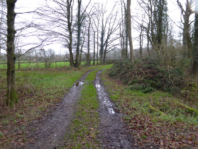
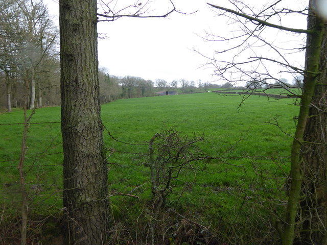
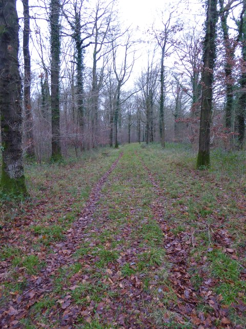
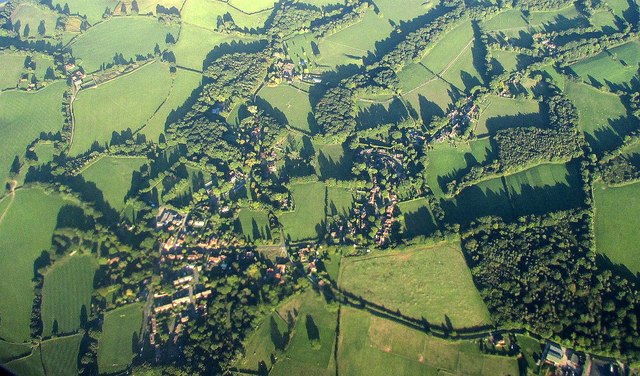
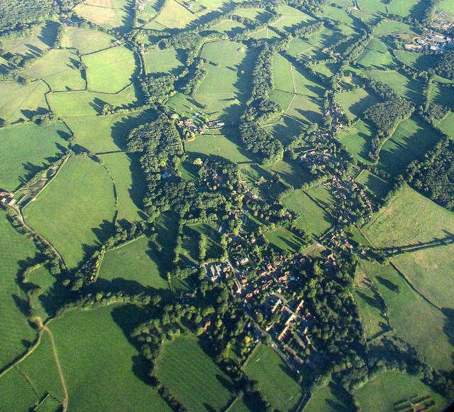
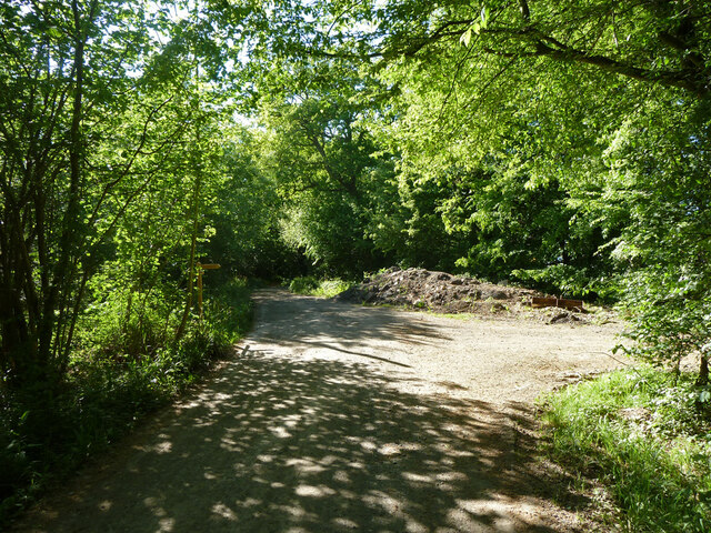
Shortland Copse is a picturesque woodland located in the county of Sussex, England. Covering an area of approximately 150 acres, this ancient forest is a haven for nature enthusiasts and offers a tranquil escape from the hustle and bustle of everyday life.

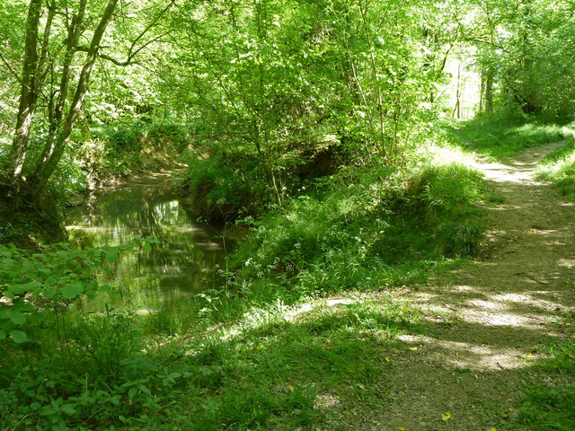
The copse is predominantly composed of broadleaf trees, including oak, beech, and ash, which create a dense canopy that provides shade and shelter for a variety of flora and fauna. The forest floor is carpeted with a rich layer of moss, ferns, and wildflowers, adding to the enchanting ambiance of the woodland.

Wildlife thrives in Shortland Copse, with various species calling it home. Common sightings include deer, foxes, badgers, and a wide array of bird species, making it a popular spot for birdwatching. The copse is also home to several rare and protected species, such as the dormouse and the lesser spotted woodpecker, adding to its ecological significance.

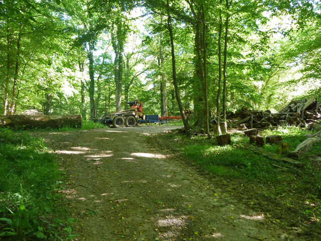
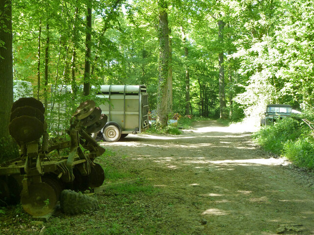
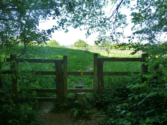
Visitors can explore the copse through a network of well-maintained footpaths that wind through the forest. These trails offer stunning views of the surrounding countryside and are suitable for walkers of all abilities. Along the way, visitors may come across charming picnic spots and tranquil ponds, perfect for enjoying a peaceful break amidst nature.

Shortland Copse is managed by the local authorities, who work diligently to preserve its natural beauty while providing a safe and enjoyable environment for visitors. The copse is open to the public throughout the year, and admission is free, making it an accessible destination for all. Whether seeking a peaceful walk, a chance to observe wildlife, or simply a place to reconnect with nature, Shortland Copse is a must-visit destination in Sussex.

If you have any feedback on the listing, please let us know in the comments section below.

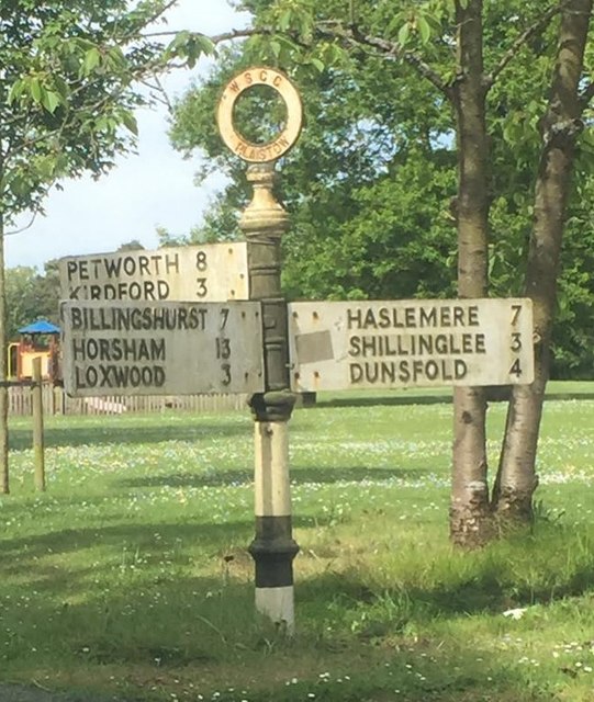
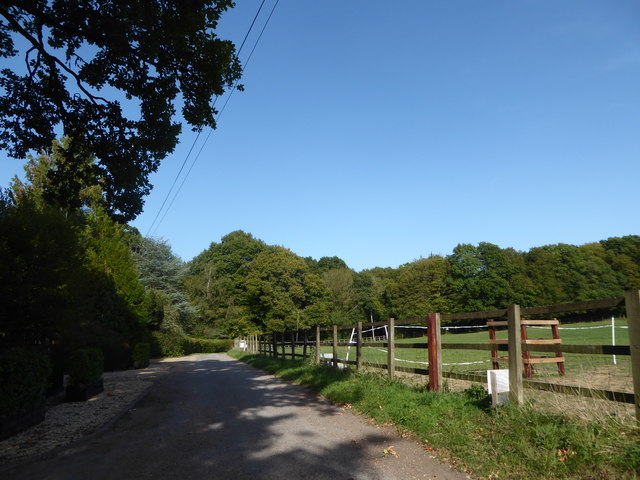
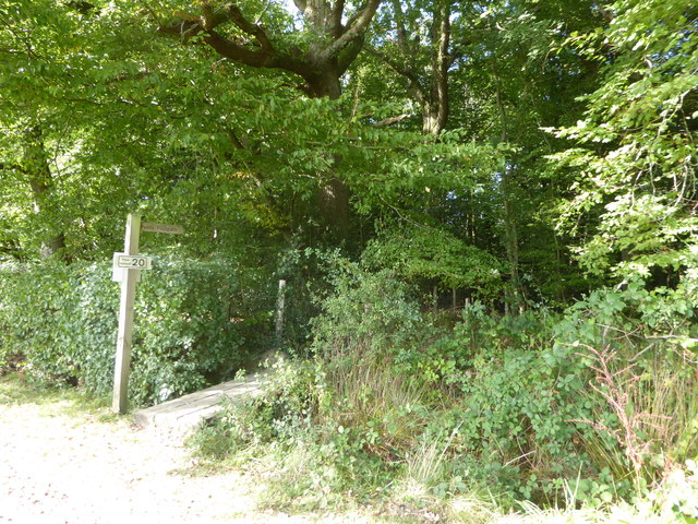
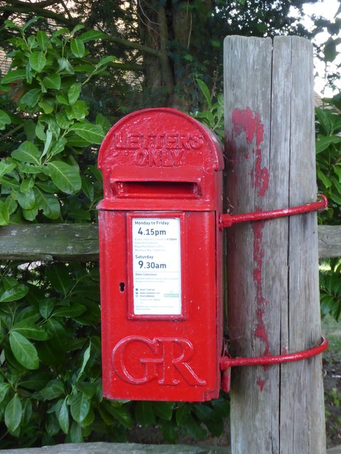
Shortland Copse Images

Images are sourced within 2km of 51.081184/-0.57992983 or Grid Reference SU9932. Thanks to Geograph Open Source API. All images are credited.

Woodland track going southwards from the Sussex Border Path(2)
View across field to large barn On the left is the western edge of Weald Barkfold Copse.
View across field to large barn
On the left is the western edge of Weald Barkfold Copse.
Woodland track going south from the Sussex Border Path (1)
Plaistow from the air Partly also shown in <a href="https://www.geograph.org.uk/photo/5151464">TQ0030 : Southeast of Plaistow from the air</a>; Rumbold Wood and Rumbold's Farm are at lower right, along a byway from the village. See also <a href="https://www.geograph.org.uk/photo/5151473">TQ0030 : Plaistow from the air</a>.
Plaistow from the air
Partly also shown in TQ0030 : Southeast of Plaistow from the air; Rumbold Wood and Rumbold's Farm are at lower right, along a byway from the village. See also TQ0030 : Plaistow from the air.
Plaistow from the air <a href="https://www.geograph.org.uk/photo/5151470">TQ0030 : Plaistow from the air</a> from a different angle, as the aircraft I am on, from Luxembourg, takes a sharp turn towards Gatwick over the village.
Plaistow from the air
TQ0030 : Plaistow from the air from a different angle, as the aircraft I am on, from Luxembourg, takes a sharp turn towards Gatwick over the village.
Nell Ball, Plaistow
Nell Ball, Plaistow
Cottage on The Street, Plaistow
Todhurst Meadow, Plaistow
Old Direction Sign - Signpost at the east corner of the common in Plaistow Annulus finial - 3 arms; WSCC parish halo by the UC road, in parish of Plaistow (Chichester District), on the south side of Loxwood Road on the east corner of the common.

to be surveyed

Milestone Society National ID: SX_TQ0030C
Old Direction Sign - Signpost at the east corner of the common in Plaistow
Annulus finial - 3 arms; WSCC parish halo by the UC road, in parish of Plaistow (Chichester District), on the south side of Loxwood Road on the east corner of the common. to be surveyed Milestone Society National ID: SX_TQ0030C
Exploring eastwards along the Bashire (10) Road passing Inside Copse
Exploring eastwards along the Bashire (10)
Road passing Inside Copse
Footpath sign on  White House Lane It goes through Inside Copse to Hurlands Copse
Footpath sign on White House Lane
It goes through Inside Copse to Hurlands Copse
Post box  outside Ifold Court Lodge Post boxes come in many forms from free standing pillar boxes to those built into walls. The monarch's cypher is always present to give an indication of age.
In the British Isles the first red pillar post boxes were erected in Jersey in 1852. Roadside wall boxes first appeared in 1857 as a cheaper alternative to pillar boxes, especially in rural districts. In 1853 the first pillar box in the United Kingdom was installed at Botchergate, Carlisle. In 1856, Richard Redgrave of the Department of Science and Art designed an ornate pillar box for use in London and other large cities. In 1859 the design was improved, and this became the first National Standard pillar box. Green was adopted as the standard colour for the early Victorian post boxes. Between 1866 and 1879 the hexagonal Penfold post box became the standard design for pillar boxes and it was during this period that red was first adopted as the standard colour. The first boxes to be painted red were in London in July 1874, although it would be nearly 10 years before all the boxes had been repainted.(excerpt from Wikipedia)
Post box outside Ifold Court Lodge
Post boxes come in many forms from free standing pillar boxes to those built into walls. The monarch's cypher is always present to give an indication of age. In the British Isles the first red pillar post boxes were erected in Jersey in 1852. Roadside wall boxes first appeared in 1857 as a cheaper alternative to pillar boxes, especially in rural districts. In 1853 the first pillar box in the United Kingdom was installed at Botchergate, Carlisle. In 1856, Richard Redgrave of the Department of Science and Art designed an ornate pillar box for use in London and other large cities. In 1859 the design was improved, and this became the first National Standard pillar box. Green was adopted as the standard colour for the early Victorian post boxes. Between 1866 and 1879 the hexagonal Penfold post box became the standard design for pillar boxes and it was during this period that red was first adopted as the standard colour. The first boxes to be painted red were in London in July 1874, although it would be nearly 10 years before all the boxes had been repainted.(excerpt from Wikipedia)
Path junction near Lee House Farm A bridleway turns right, a footpath used by the Sussex Border Path continues straight on.
Path junction near Lee House Farm
A bridleway turns right, a footpath used by the Sussex Border Path continues straight on.
Forestry equipment, Thirds Copse
Bridleway by Lee House Farm Looking north.
Bridleway by Lee House Farm
Looking north.
Tractor, Burningfold Polo Club Equipped for mowing the field.
Tractor, Burningfold Polo Club
Equipped for mowing the field.
Footpath towards Burningfold Manor Leaving Forestry Commission woodland.
Footpath towards Burningfold Manor
Leaving Forestry Commission woodland.
Footpath by River Lox Passing through Forestry Commission woodland.
Footpath by River Lox
Passing through Forestry Commission woodland.
Show me another place!

Shortland Copse is located at Grid Ref: SU9932 (Lat: 51.081184, Lng: -0.57992983)

Administrative County: West Sussex

District: Chichester

Police Authority: Sussex

What 3 Words

///revealing.engraving.velocity. Near Chiddingfold, Surrey

Related Wikis

Chiddingfold Forest

Chiddingfold Forest is a 542.5-hectare (1,341-acre) biological Site of Special Scientific Interest in Chiddingfold in Surrey and West Sussex. One part...

Plaistow, West Sussex

Plaistow ( PLAST-oh) is a village and civil parish in the north of the Chichester District of West Sussex, England. There is a village green, a recreation...

The Farm (recording studio)

The Farm (also known as Fisher Lane Farm) was a recording studio in Chiddingfold, Surrey owned by the rock band Genesis. The group bought the property...

Shillinglee

Shillinglee is an 18th-century house and estate in West Sussex, England near the Surrey border, in between the villages of Chiddingfold and Plaistow. It...

Ifold

Ifold is a hamlet in West Sussex and part of the civil Parish of Plaistow, of which it is the largest settlement. Ifold is classified as a hamlet, because...

Shillinglee Lake

Shillinglee Lake is a 17-hectare (42-acre) biological Site of Special Scientific Interest west of Plaistow in West Sussex.The lake has been designated...

Pickhurst

Pickhurst is a grade II* listed house set in 130 acres (53 ha) of land near Chiddingfold, Surrey, England. == History == It was designed by the Scottish...

Fir Tree Copse

Fir Tree Copse is a 6-hectare (15-acre) nature reserve south-east of Dunsfold in Surrey. It is managed by the Surrey Wildlife Trust and is part of the...

Nearby Amenities

Located within 500m of 51.081184,-0.57992983
Durfold Wood
Created By: Potlatch 0.7b
Is In: West Sussex; Surrey
Place: hamlet
Lat/Long: 51.0845049/-0.5790302
Durfold Wood
Naptan AtcoCode: 4400HR0267
Naptan Bearing: N
Naptan BusStopType: CUS
Naptan CommonName: Durfold Wood
Naptan Indicator: adj Durfold Wood
Naptan Landmark: Durfold Wood
Naptan NaptanCode: wsxatwtw
Naptan Street: Dunsfold Road
Naptan Verified: no
Source: naptan_import
Lat/Long: 51.0828219/-0.5759926
Post Box
Operator: Royal Mail
Post Box Type: lamp
Ref: RH14 231
Royal Cypher: EIIR
Royal Cypher Wikidata: Q33102113
Lat/Long: 51.0827361/-0.5759369
The data included in this document is from www.openstreetmap.org. The data is made available under ODbL.

Have you been to Shortland Copse?

Leave your review of Shortland Copse below (or comments, questions and feedback).