Cowpasture Hangar
Wood, Forest in Surrey Waverley
England
Cowpasture Hangar

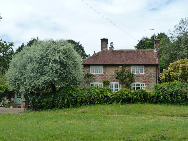
Cowpasture Hangar is a picturesque woodland located in Surrey, England. Situated within the larger landscape of Surrey Hills Area of Outstanding Natural Beauty, this enchanting forest provides a serene escape from the hustle and bustle of everyday life.
Covering an area of approximately 100 acres, Cowpasture Hangar is known for its dense tree canopy, predominantly consisting of oak, beech, and birch trees. The woodland floor is adorned with a variety of wildflowers, creating a vibrant and colorful display during the spring and summer months.
The forest is intersected by several well-maintained trails, making it a popular destination for hikers, nature enthusiasts, and dog walkers. These trails wind through the woodland, offering visitors the opportunity to explore the diverse flora and fauna that call Cowpasture Hangar home.
Wildlife is abundant in Cowpasture Hangar, with numerous bird species, including woodpeckers and owls, making their nests in the trees. The forest is also home to a variety of small mammals, such as foxes, squirrels, and rabbits, which can often be spotted scurrying among the undergrowth.
One of the highlights of Cowpasture Hangar is its peaceful atmosphere and tranquil surroundings. The forest provides a sanctuary for those seeking solace and a connection with nature. The rustling of leaves, the gentle chirping of birds, and the scent of fresh earth create a sense of harmony and tranquility that is truly captivating.
Overall, Cowpasture Hangar in Surrey is a charming woodland that offers visitors a chance to immerse themselves in the beauty of nature. With its diverse flora and fauna, well-maintained trails, and peaceful ambiance, it is a must-visit destination for anyone seeking a respite from the outside world.
If you have any feedback on the listing, please let us know in the comments section below.
Cowpasture Hangar Images
Images are sourced within 2km of 51.119489/-0.58405687 or Grid Reference SU9936. Thanks to Geograph Open Source API. All images are credited.


Cowpasture Hangar is located at Grid Ref: SU9936 (Lat: 51.119489, Lng: -0.58405687)
Administrative County: Surrey
District: Waverley
Police Authority: Surrey
What 3 Words
///conspired.stale.sleepy. Near Chiddingfold, Surrey
Nearby Locations
Related Wikis

Dunsfold
Dunsfold is a village in the borough of Waverley, Surrey, England, 8.7 miles (14.0 kilometres) south of Guildford. It lies in the Weald and reaches in...

Hascombe Hill
Hascombe Hill or Hascombe Camp is the site of an Iron Age multivallate hill fort close to the village of Hascombe in Surrey, England. == History == The...

Top Gear test track
The Top Gear test track is used by the BBC automotive television programme Top Gear. It is located at Dunsfold Aerodrome in Surrey, United Kingdom. The...

St Teresa of Avila Church, Chiddingfold
St Teresa of Avila Church is a Roman Catholic Parish church in Chiddingfold, Surrey. It is situated on the corner of Petworth Road and Woodside Road in...

Oakhurst Cottage
Oakhurst Cottage is a tiny 16th or 17th-century cottage in Hambledon, Surrey, in the United Kingdom. It is a Grade II listed building.The cottage was given...

Hambledon, Surrey
Hambledon is a rural scattered village in the Waverley borough of Surrey, situated south of Guildford. It is dominated by a buffer zone of fields and woodland...

Chiddingfold
Chiddingfold is a village and civil parish in the Weald in the Waverley district of Surrey, England. It lies on the A283 road between Milford and Petworth...

Hydon's Ball
Hydon's Ball is a 179-metre-high (587 ft) hill covering most of Hydon Heath in Hydestile, Surrey, England. == Description == The hill on Hydon Heath, Hydestile...
Nearby Amenities
Located within 500m of 51.119489,-0.58405687Have you been to Cowpasture Hangar?
Leave your review of Cowpasture Hangar below (or comments, questions and feedback).