Birchall's Wood
Wood, Forest in Bedfordshire
England
Birchall's Wood
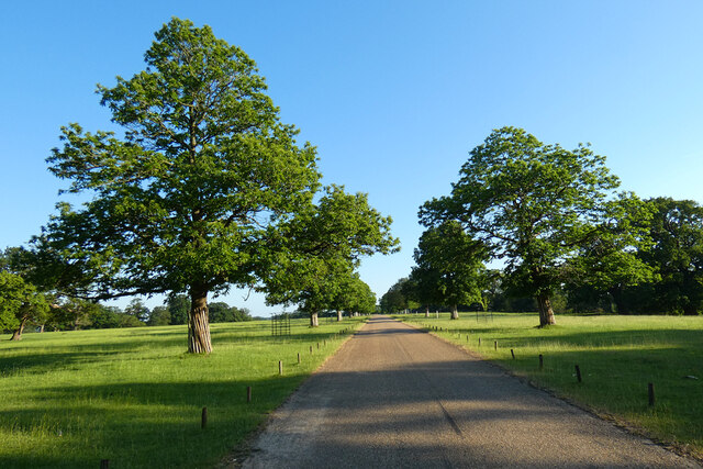
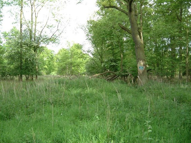
Birchall's Wood is a serene and picturesque forest located in the county of Bedfordshire, England. Spanning over an area of approximately 100 acres, this woodland offers visitors a tranquil retreat from the hustle and bustle of daily life.
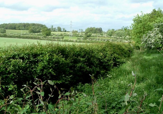
The forest is predominantly composed of birch trees, which lend their name to the wood. These trees create a serene ambiance with their slender trunks and delicate green leaves that sway gently in the breeze. However, Birchall's Wood is not limited to just birch trees; it also boasts a diverse range of other tree species, including oak, beech, and hawthorn, which add to the wood's rich biodiversity.
The forest is a haven for wildlife enthusiasts, as it is home to a variety of animal species. Visitors can catch glimpses of woodland creatures such as deer, foxes, and rabbits, as well as a myriad of bird species that inhabit the area. Birdwatchers will be particularly delighted by the presence of species like woodpeckers, owls, and various songbirds.
Birchall's Wood provides numerous recreational activities for visitors to enjoy. There are several well-maintained walking trails that wind through the forest, offering a chance to explore the natural beauty at one's own pace. Picnic areas are scattered throughout the wood, providing the perfect spot for families and friends to gather and enjoy a meal amidst the peaceful surroundings.
Overall, Birchall's Wood is a delightful destination for nature lovers and those seeking solace in the great outdoors. With its diverse flora and fauna, stunning landscapes, and recreational facilities, this forest is a true gem in the heart of Bedfordshire.
If you have any feedback on the listing, please let us know in the comments section below.
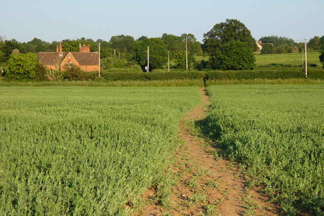
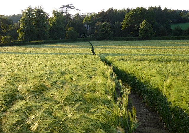
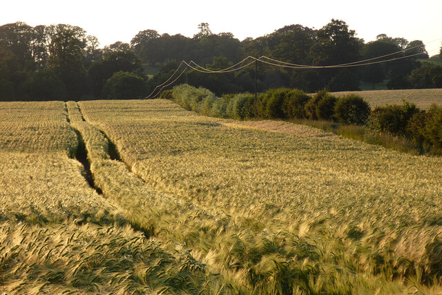
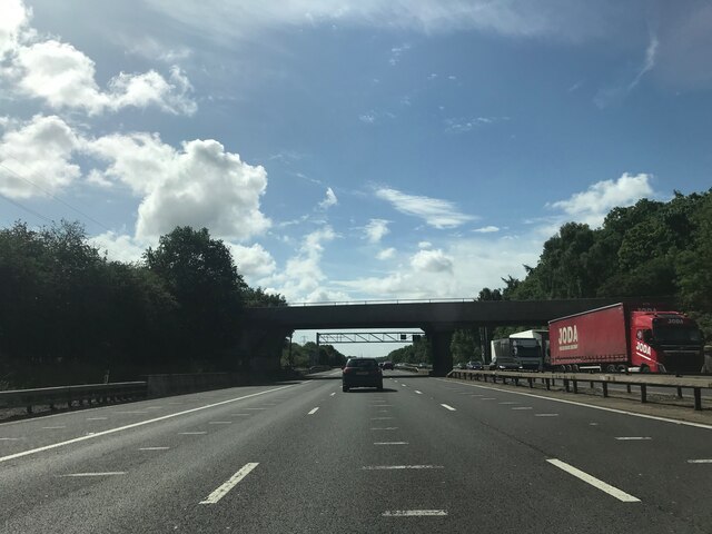
Birchall's Wood Images
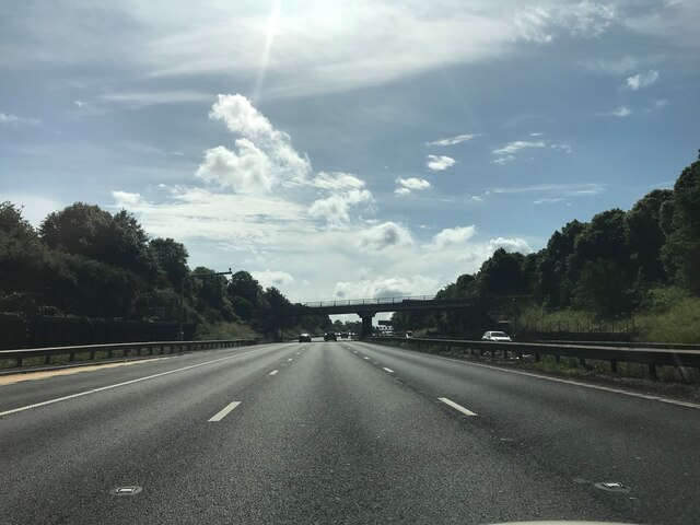
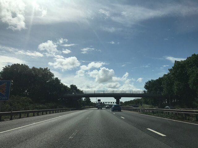
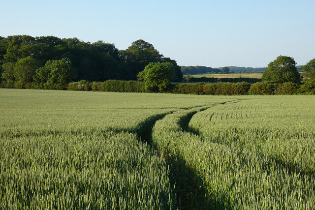
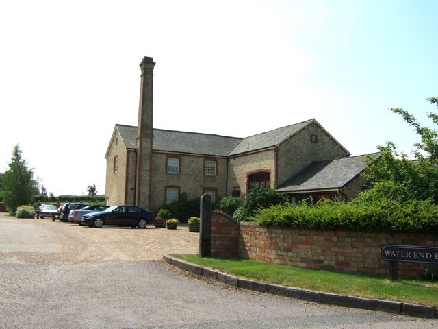
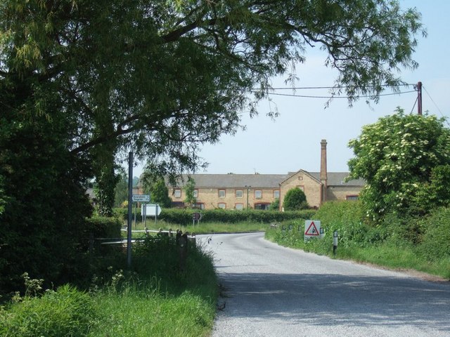
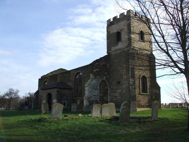
Images are sourced within 2km of 52.004082/-0.55637285 or Grid Reference SP9934. Thanks to Geograph Open Source API. All images are credited.


Birchall's Wood is located at Grid Ref: SP9934 (Lat: 52.004082, Lng: -0.55637285)
Unitary Authority: Central Bedfordshire
Police Authority: Bedfordshire
What 3 Words
///persuade.licks.beaker. Near Steppingley, Bedfordshire
Nearby Locations
Related Wikis
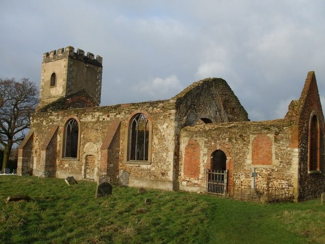
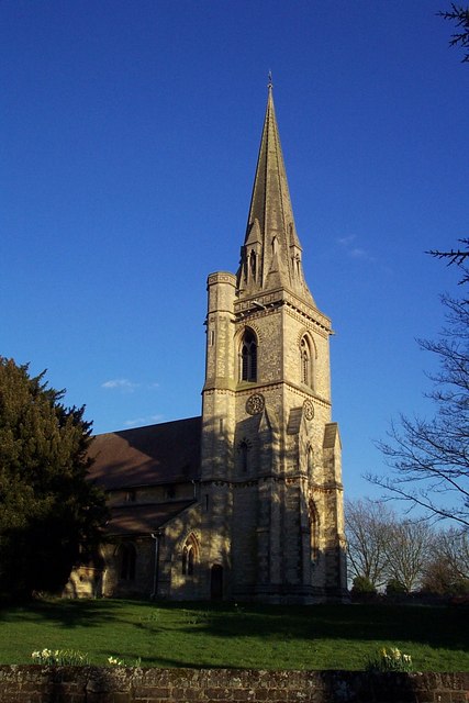
All Saints Church, Segenhoe
All Saints Church, Segenhoe is a ruined medieval church located near the village of Ridgmont, Bedfordshire. It contains architectural details that range...

Ridgmont
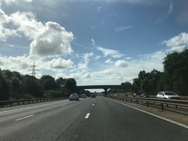
Ridgmont is a small village and civil parish in Bedfordshire, England. It is located beside junction 13 of the M1 motorway, and close to Milton Keynes...

Steppingley
Steppingley is a rural village and civil parish in Bedfordshire, England. It stands on high ground in the centre of a small parish of about 562 ha on...
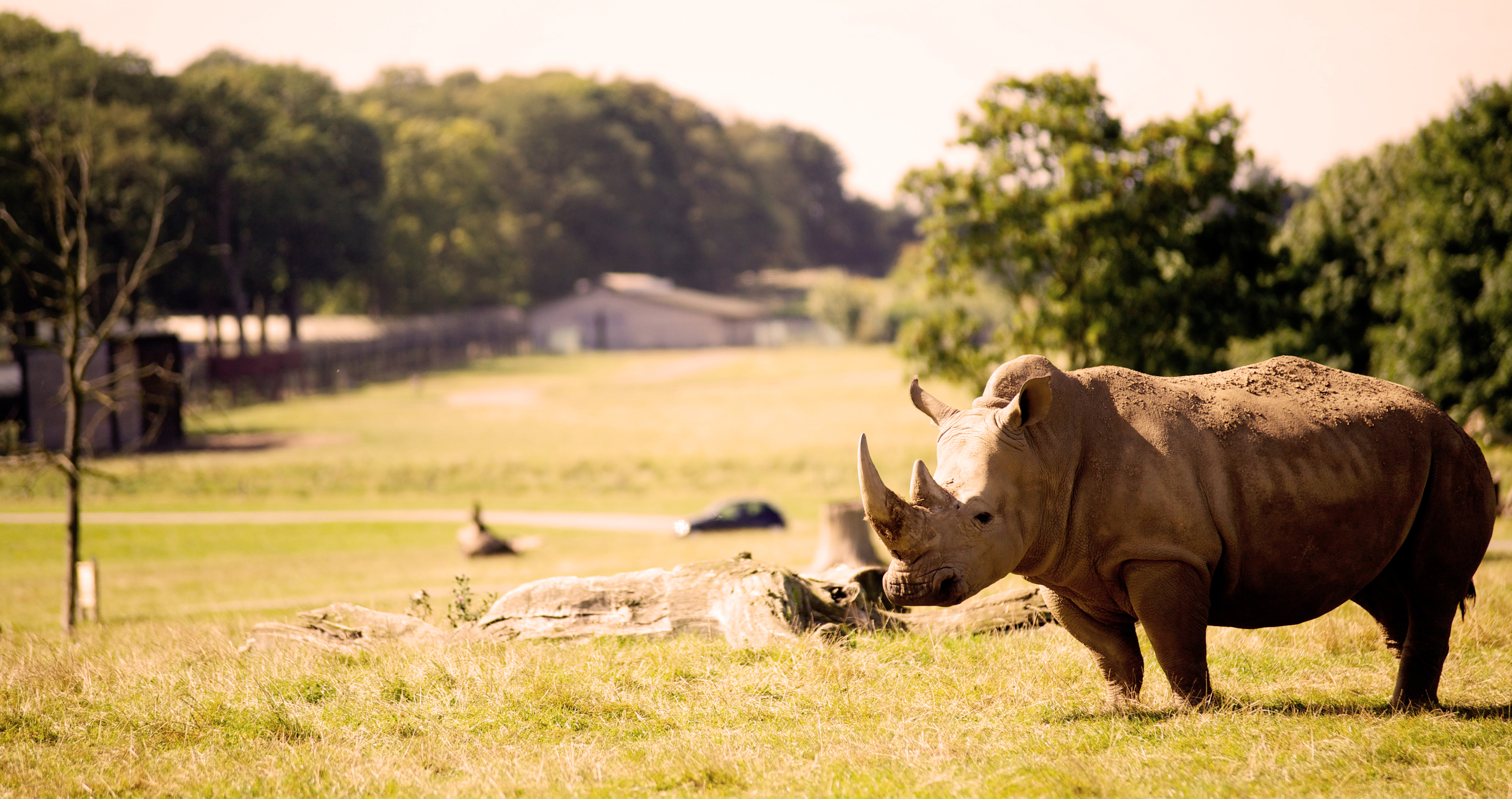
Woburn Safari Park
Woburn Safari Park is a safari park located in Woburn, Bedfordshire, England. Visitors to the park can drive through exhibits, which contain species such...
Nearby Amenities
Located within 500m of 52.004082,-0.55637285Have you been to Birchall's Wood?
Leave your review of Birchall's Wood below (or comments, questions and feedback).