Briar Stockings
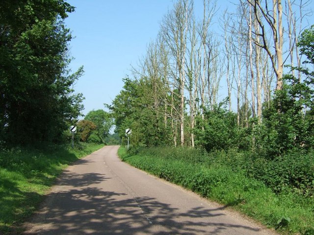
Wood, Forest in Bedfordshire
England
Briar Stockings
Briar Stockings, located in the county of Bedfordshire, is a picturesque village known for its abundant woodlands and forests. Nestled amidst rolling hills and stunning natural beauty, the village offers a tranquil and serene environment for residents and visitors alike.
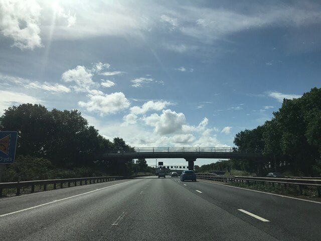
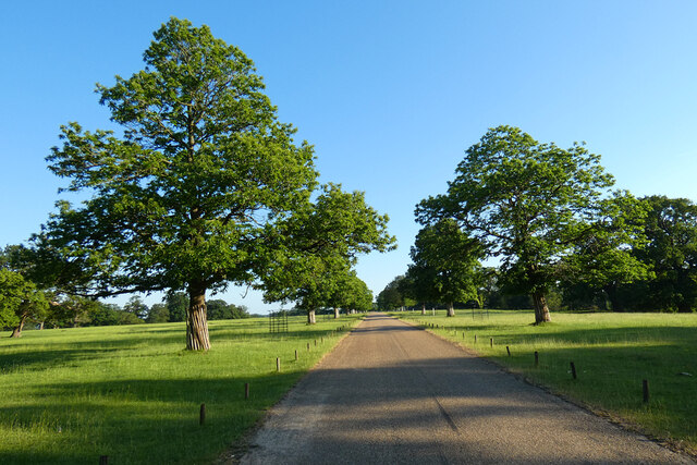
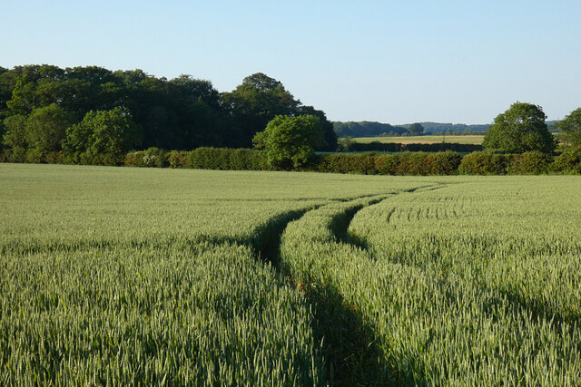
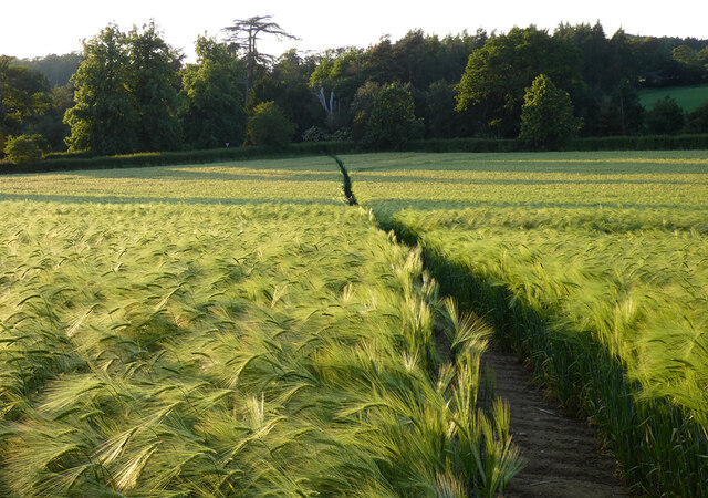
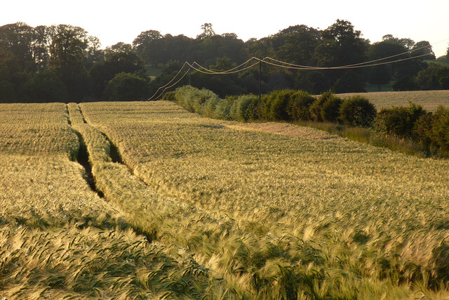
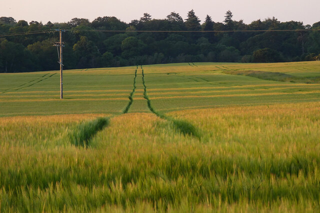
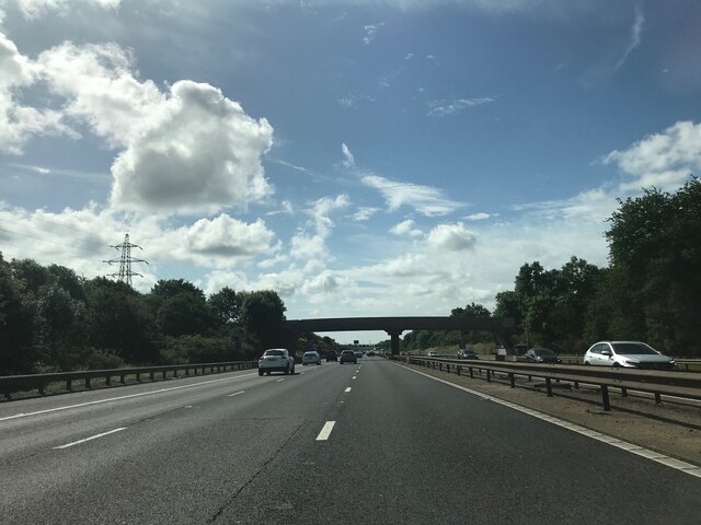
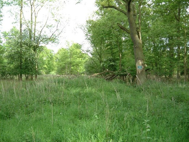
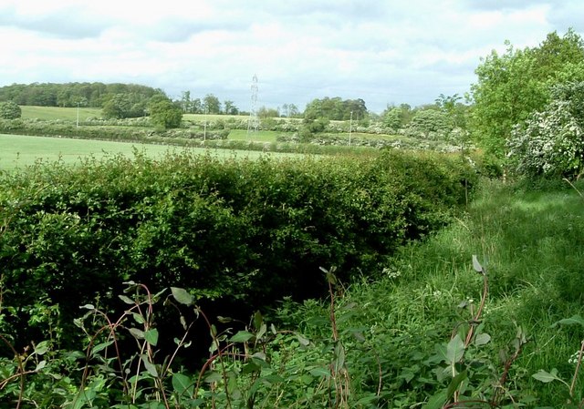
The woodlands surrounding Briar Stockings are a prominent feature of the village and serve as a haven for flora and fauna. The dense forests provide a diverse habitat for a variety of wildlife, including deer, foxes, and numerous bird species. Walking trails and nature reserves are scattered throughout the area, offering opportunities for outdoor enthusiasts to explore and appreciate the natural surroundings.
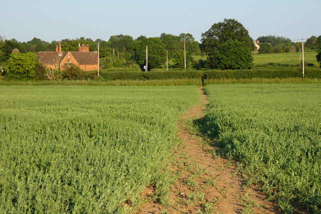
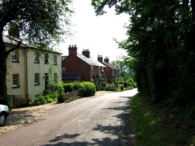
The village itself exudes a charming and quaint atmosphere, with traditional thatched-roof cottages and well-preserved historic buildings dotting the landscape. The local community takes great pride in preserving the village's heritage, and efforts have been made to maintain its authentic character.
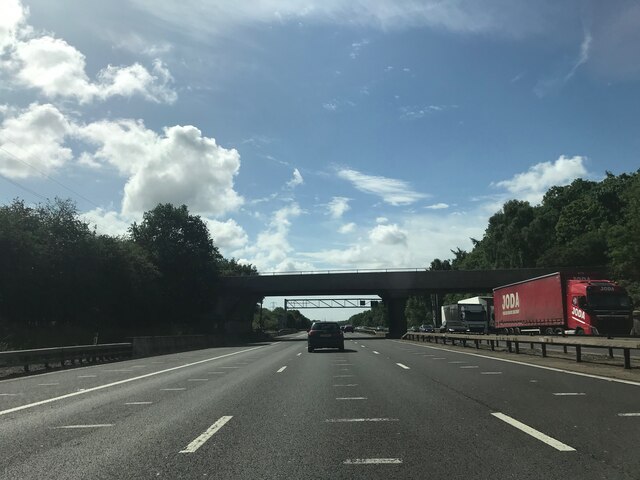
Despite its rural setting, Briar Stockings offers convenient access to nearby amenities. The village is well-served by local shops, cafes, and a community center, which serves as a hub for various social and recreational activities. Additionally, the village is within easy reach of larger towns and cities, ensuring residents have access to a wider range of services and employment opportunities.
Overall, Briar Stockings, with its stunning woodlands, charming village atmosphere, and convenient location, offers a peaceful and idyllic setting for those seeking a harmonious blend of nature and community.
If you have any feedback on the listing, please let us know in the comments section below.
Briar Stockings Images
Images are sourced within 2km of 51.995819/-0.55716298 or Grid Reference SP9934. Thanks to Geograph Open Source API. All images are credited.


Briar Stockings is located at Grid Ref: SP9934 (Lat: 51.995819, Lng: -0.55716298)
Unitary Authority: Central Bedfordshire
Police Authority: Bedfordshire
What 3 Words
///plugged.earmarked.remote. Near Eversholt, Bedfordshire
Nearby Locations
Related Wikis
Eversholt
Eversholt is a village and civil parish located in Bedfordshire, England. It was mentioned in the Domesday Book and is over 1000 years old. "Eversholt...

Froxfield, Bedfordshire
Froxfield is a small hamlet in Bedfordshire, England. == References == The geographic coordinates are from the Ordnance Survey.
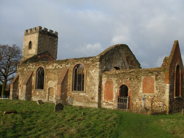
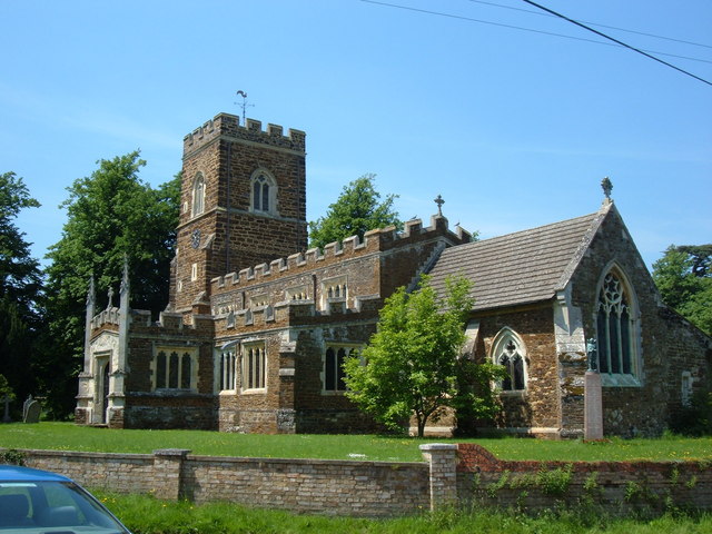
All Saints Church, Segenhoe
All Saints Church, Segenhoe is a ruined medieval church located near the village of Ridgmont, Bedfordshire. It contains architectural details that range...

Church of St Nicholas, Tingrith
The Church of St Nicholas is a Grade I listed church in Tingrith, Bedfordshire, England. It became a listed building on 23 January 1961.The brown sandstone...

Steppingley
Steppingley is a rural village and civil parish in Bedfordshire, England. It stands on high ground in the centre of a small parish of about 562 ha on...
Tingrith
Tingrith is a small village and civil parish in Bedfordshire, England. It is located adjacent to the M1 motorway near the large village of Toddington....
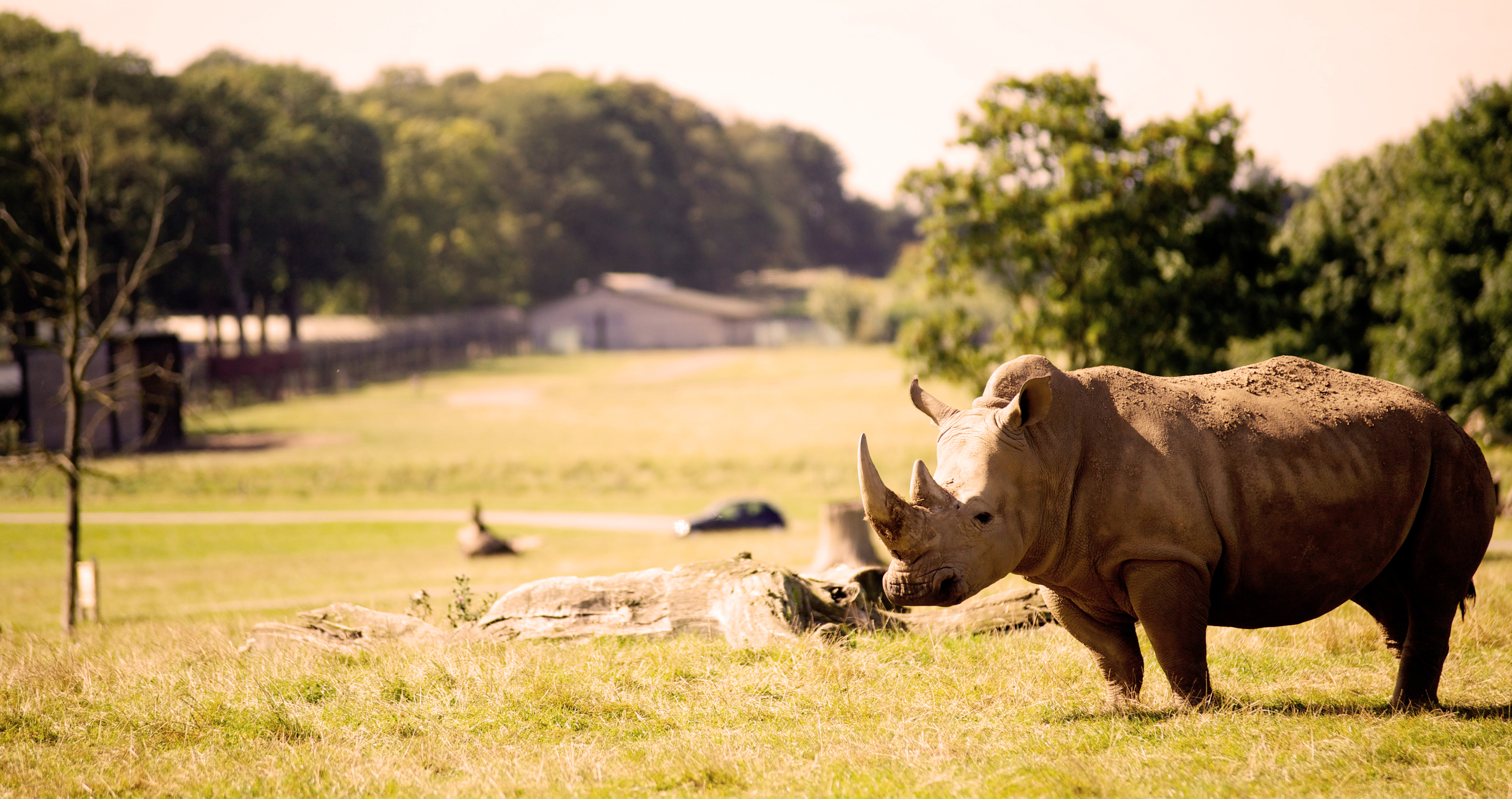
Woburn Safari Park
Woburn Safari Park is a safari park located in Woburn, Bedfordshire, England. Visitors to the park can drive through exhibits, which contain species such...

Ridgmont
Ridgmont is a small village and civil parish in Bedfordshire, England. It is located beside junction 13 of the M1 motorway, and close to Milton Keynes...
Nearby Amenities
Located within 500m of 51.995819,-0.55716298Have you been to Briar Stockings?
Leave your review of Briar Stockings below (or comments, questions and feedback).