Doggett's Wood
Wood, Forest in Buckinghamshire
England
Doggett's Wood
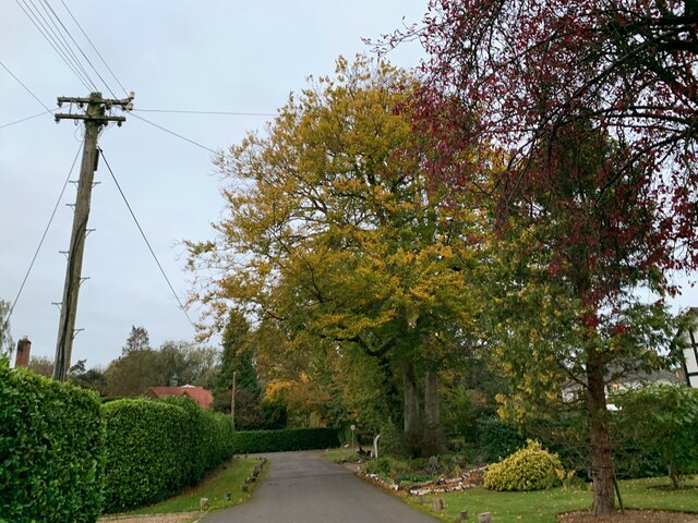
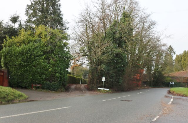
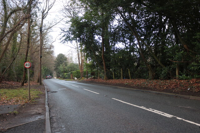
Doggett's Wood is a picturesque woodland located in Buckinghamshire, England. Covering an area of approximately 50 acres, it is a magnificent example of a mixed deciduous forest. The wood is situated in a rural setting, surrounded by rolling hills and meadows, providing a peaceful and tranquil environment for visitors.
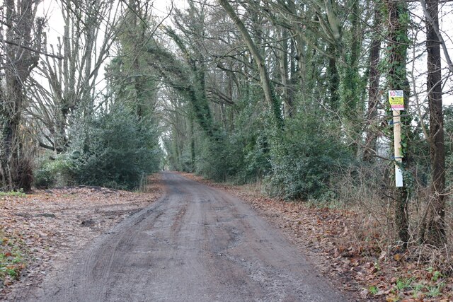
The woodland is home to a diverse range of plant and animal species, making it an important ecological site in the region. The prominent tree species found in Doggett's Wood include oak, beech, and ash, creating a dense canopy that provides shade and shelter for the undergrowth. Bluebells, primroses, and wild garlic carpet the forest floor during the spring, adding a burst of color to the landscape.
Doggett's Wood is a popular destination for nature enthusiasts and hikers, offering a network of well-maintained trails that wind through the forest. These paths provide an opportunity for visitors to explore the wood's natural beauty while enjoying the fresh air and peaceful surroundings.
The woodland also holds historical significance, with remnants of ancient earthworks and ditches dating back to the Iron Age. Archaeological investigations have revealed evidence of human occupation in the area, adding an extra layer of interest for those with an appreciation for history.
In summary, Doggett's Wood is a stunning forested area in Buckinghamshire, offering a diverse range of flora and fauna, well-maintained trails, and a peaceful atmosphere. It is a cherished natural gem that attracts nature lovers, hikers, and history enthusiasts alike.
If you have any feedback on the listing, please let us know in the comments section below.
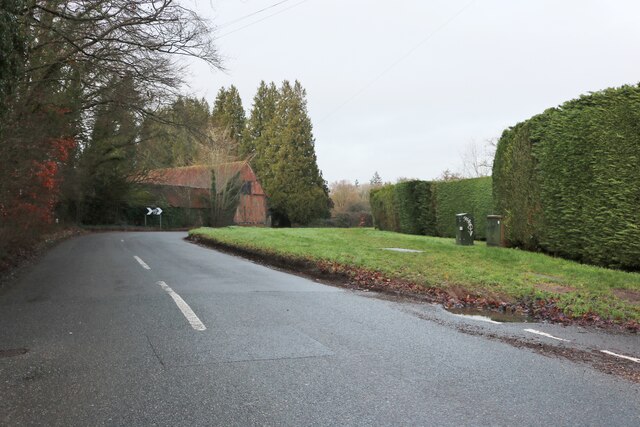
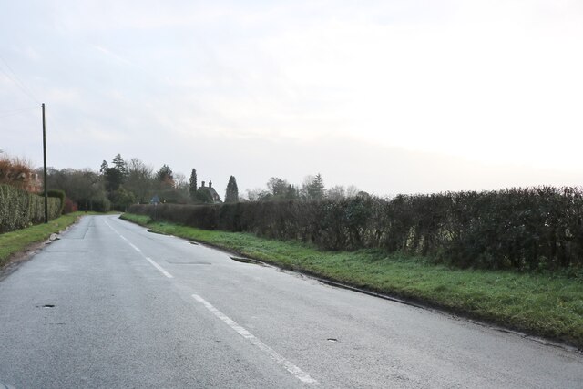
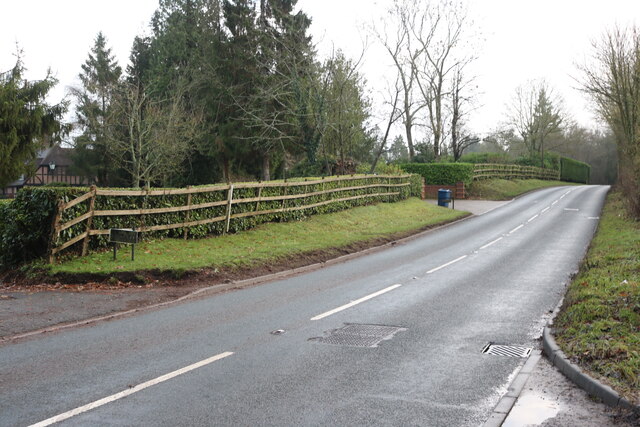
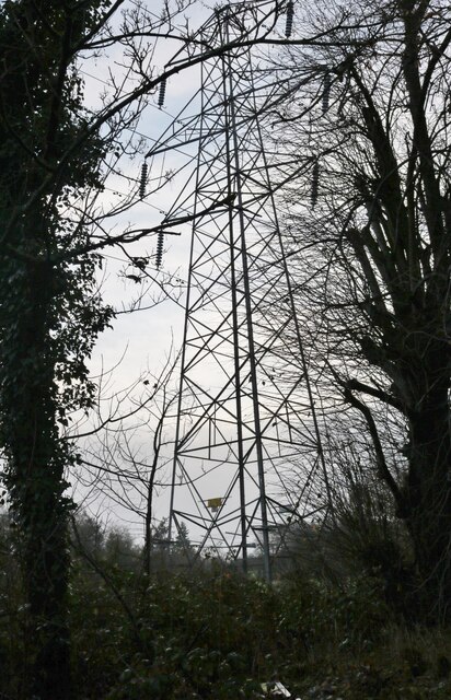
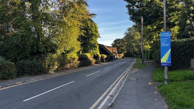
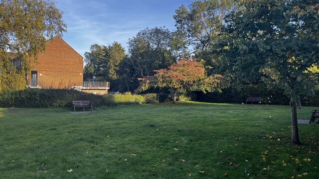
Doggett's Wood Images
Images are sourced within 2km of 51.656021/-0.5678051 or Grid Reference SU9996. Thanks to Geograph Open Source API. All images are credited.


Doggett's Wood is located at Grid Ref: SU9996 (Lat: 51.656021, Lng: -0.5678051)
Unitary Authority: Buckinghamshire
Police Authority: Thames Valley
What 3 Words
///normal.noises.flips. Near Little Chalfont, Buckinghamshire
Nearby Locations
Related Wikis

Harewood Downs Golf Club
Harewood Downs Golf Club is a golf club, located circa 2.5 miles (4.0 km) south-east of Amersham, Buckinghamshire, England. It is located northwest of...
Dr Challoner's High School
Dr Challoner's High School, abbreviated to DCHS, is a grammar school for girls between the ages of 11 and 18, located in Buckinghamshire, England. In August...

Little Chalfont
Little Chalfont is a village and civil parish in south-east Buckinghamshire, England. It is one of a group of villages known collectively as The Chalfonts...

Chalfont & Latimer station
Chalfont & Latimer is a London Underground and National Rail station in Travelcard Zone 8 (previously zone C) on the Metropolitan line, in Buckinghamshire...

The Vache
The Vache is an estate near Chalfont St Giles in Buckinghamshire, England. Located within the estate is a monument dedicated to the memory of Captain James...
Amersham School
Amersham School is a mixed secondary school in Amersham, Buckinghamshire. In September 2011, the school became an Academy. It takes children from the age...

Shrubs Wood
Shrubs Wood is a privately owned, Grade II* listed, Art Deco country house in Chalfont St Peter, Buckinghamshire, England. Built between 1933 and 1934...

Philipshill Wood
Philipshill Wood is a 77 acres (31 ha) area of woodland in the English county of Buckinghamshire, situated on the border with Hertfordshire about 1 mile...
Nearby Amenities
Located within 500m of 51.656021,-0.5678051Have you been to Doggett's Wood?
Leave your review of Doggett's Wood below (or comments, questions and feedback).