Dunse Copse
Wood, Forest in Surrey Waverley
England
Dunse Copse

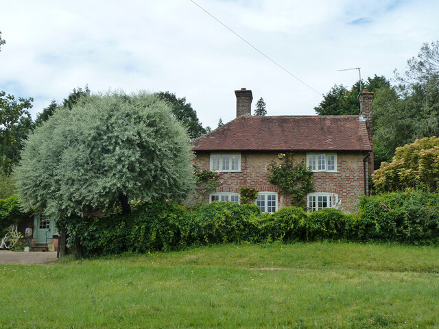
Dunse Copse, located in Surrey, England, is a captivating woodland area encompassing an approximate area of 50 acres. Nestled amidst the picturesque countryside, this forest is a haven for nature enthusiasts and those seeking tranquility in the heart of nature.
Dunse Copse boasts a diverse array of tree species, including oak, beech, birch, and pine, creating a rich and vibrant ecosystem. The towering trees provide a dense canopy, filtering sunlight and casting an enchanting light on the forest floor. The undergrowth is teeming with an assortment of flora, such as bluebells, primroses, and ferns, lending a vibrant burst of color to the landscape.
This woodland area is home to a variety of wildlife, offering a unique opportunity for wildlife enthusiasts and birdwatchers. Visitors may spot creatures such as deer, foxes, rabbits, and squirrels, as well as a plethora of bird species, including woodpeckers, owls, and robins. The peaceful ambiance of Dunse Copse makes it an ideal spot for birdwatchers, as the tranquil environment allows for undisturbed observation.
Traversing through the forest, visitors can explore a network of well-maintained footpaths, providing the opportunity for leisurely walks or more challenging hikes. The paths wind through the woodland, leading visitors to hidden clearings and secluded spots, perfect for a peaceful picnic or a moment of reflection.
Dunse Copse, with its natural beauty and diverse ecosystem, is a true gem in the Surrey countryside, offering visitors a chance to immerse themselves in the wonders of nature.
If you have any feedback on the listing, please let us know in the comments section below.
Dunse Copse Images
Images are sourced within 2km of 51.123734/-0.58704226 or Grid Reference SU9836. Thanks to Geograph Open Source API. All images are credited.


Dunse Copse is located at Grid Ref: SU9836 (Lat: 51.123734, Lng: -0.58704226)
Administrative County: Surrey
District: Waverley
Police Authority: Surrey
What 3 Words
///crabmeat.catch.query. Near Chiddingfold, Surrey
Nearby Locations
Related Wikis

Dunsfold
Dunsfold is a village in the borough of Waverley, Surrey, England, 8.7 miles (14.0 kilometres) south of Guildford. It lies in the Weald and reaches in...

Hascombe Hill
Hascombe Hill or Hascombe Camp is the site of an Iron Age multivallate hill fort close to the village of Hascombe in Surrey, England. == History == The...

Hambledon, Surrey
Hambledon is a rural scattered village in the Waverley borough of Surrey, situated south of Guildford. It is dominated by a buffer zone of fields and woodland...

Oakhurst Cottage
Oakhurst Cottage is a tiny 16th or 17th-century cottage in Hambledon, Surrey, in the United Kingdom. It is a Grade II listed building.The cottage was given...

Hydon's Ball
Hydon's Ball is a 179-metre-high (587 ft) hill covering most of Hydon Heath in Hydestile, Surrey, England. == Description == The hill on Hydon Heath, Hydestile...

Hascombe Court
Hascombe Court is a 172-acre (70 ha) estate in Hascombe, Surrey, best known for its vast garden designed by Gertrude Jekyll. Hascombe Court is listed Grade...

St Teresa of Avila Church, Chiddingfold
St Teresa of Avila Church is a Roman Catholic Parish church in Chiddingfold, Surrey. It is situated on the corner of Petworth Road and Woodside Road in...

St Dominic's School
St. Dominic's School in Hambledon, Surrey, England is a co-educational day school, one of the oldest special schools in the United Kingdom. It specialises...
Nearby Amenities
Located within 500m of 51.123734,-0.58704226Have you been to Dunse Copse?
Leave your review of Dunse Copse below (or comments, questions and feedback).