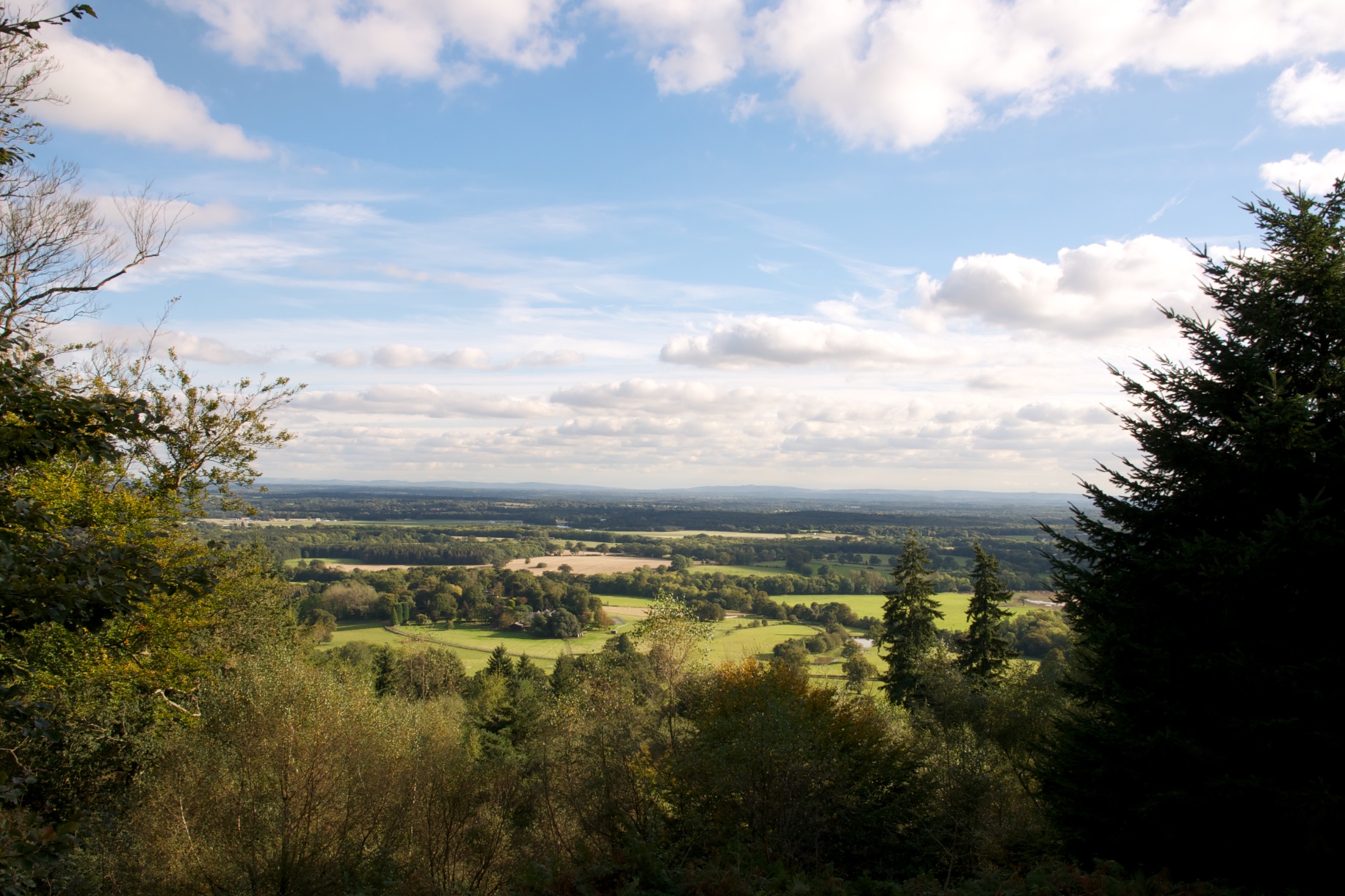
Bridge Field Hangar
Wood, Forest in Surrey Waverley
England
Bridge Field Hangar
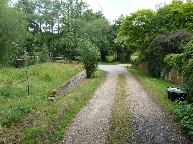
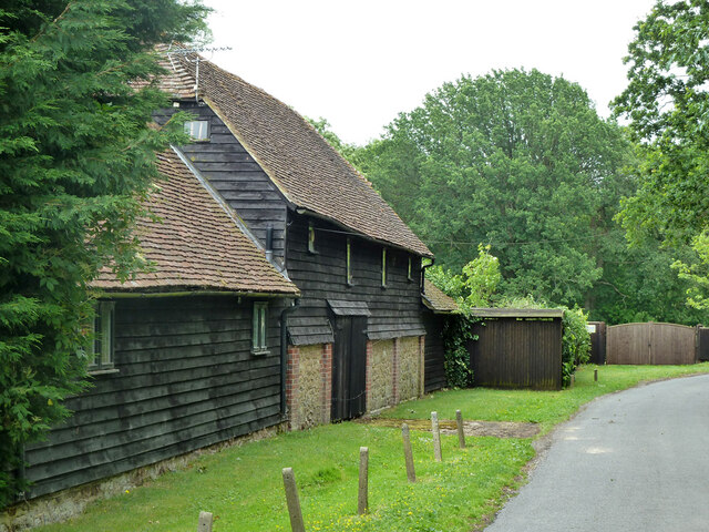
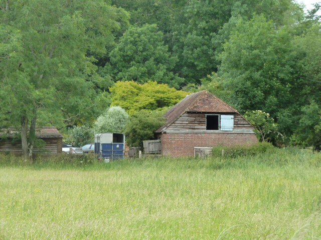
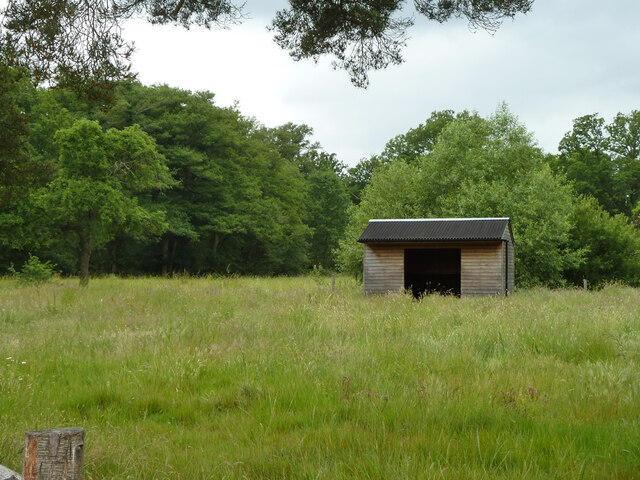
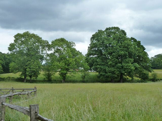
Bridge Field Hangar is a large wooden structure located in Surrey, England. Situated within a lush forest, it serves as a significant landmark in the area. The hangar is constructed entirely of wood, giving it a unique and rustic appearance that blends harmoniously with its natural surroundings.
The hangar is situated in Bridge Field, a picturesque location known for its dense forest and serene ambiance. It spans a considerable area, providing ample space for various activities and events. The structure is designed with precision and attention to detail, showcasing exceptional craftsmanship.
The hangar is primarily used for storing and maintaining aircraft. Its spacious interior can accommodate multiple planes, making it an ideal facility for aviation enthusiasts and professionals alike. The wooden construction of the hangar ensures a suitable environment for aircraft, as wood offers natural insulation and protection against harsh weather conditions.
Bridge Field Hangar also serves as a venue for social gatherings and events. Its rustic charm and tranquil setting make it a popular choice for weddings, corporate events, and other special occasions. The hangar's expansive outdoor area provides ample space for parking and additional activities.
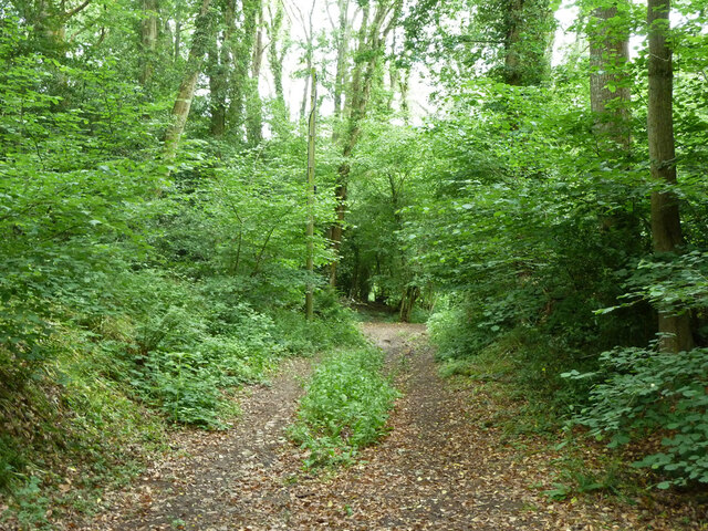
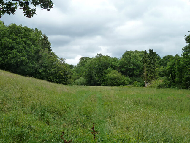
The location of Bridge Field Hangar amidst the serene forest offers visitors a sense of tranquility and a chance to reconnect with nature. It provides a unique setting for both aviation-related activities and social events, making it a notable attraction in Surrey.
If you have any feedback on the listing, please let us know in the comments section below.
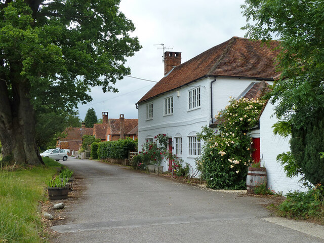
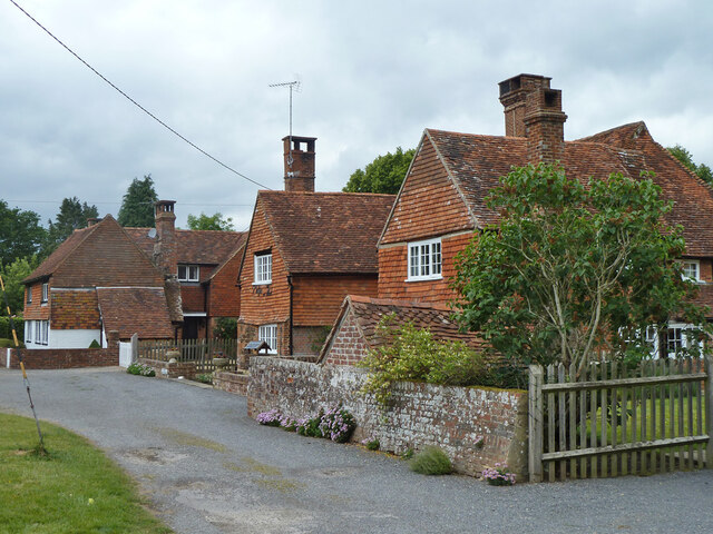
Bridge Field Hangar Images
Images are sourced within 2km of 51.117959/-0.58767562 or Grid Reference SU9836. Thanks to Geograph Open Source API. All images are credited.
Bridge Field Hangar is located at Grid Ref: SU9836 (Lat: 51.117959, Lng: -0.58767562)
Administrative County: Surrey
District: Waverley
Police Authority: Surrey
What 3 Words
///lobby.junior.crockery. Near Chiddingfold, Surrey
Nearby Locations
Related Wikis
Dunsfold
Dunsfold is a village in the borough of Waverley, Surrey, England, 8.7 miles (14.0 kilometres) south of Guildford. It lies in the Weald and reaches in...
Hascombe Hill
Hascombe Hill or Hascombe Camp is the site of an Iron Age multivallate hill fort close to the village of Hascombe in Surrey, England. == History == The...
St Teresa of Avila Church, Chiddingfold
St Teresa of Avila Church is a Roman Catholic Parish church in Chiddingfold, Surrey. It is situated on the corner of Petworth Road and Woodside Road in...
Chiddingfold
Chiddingfold is a village and civil parish in the Weald in the Waverley district of Surrey, England. It lies on the A283 road between Milford and Petworth...
Oakhurst Cottage
Oakhurst Cottage is a tiny 16th or 17th-century cottage in Hambledon, Surrey, in the United Kingdom. It is a Grade II listed building.The cottage was given...
Hambledon, Surrey
Hambledon is a rural scattered village in the Waverley borough of Surrey, situated south of Guildford. It is dominated by a buffer zone of fields and woodland...
Pickhurst
Pickhurst is a grade II* listed house set in 130 acres (53 ha) of land near Chiddingfold, Surrey, England. == History == It was designed by the Scottish...
Top Gear test track
The Top Gear test track is used by the BBC automotive television programme Top Gear. It is located at Dunsfold Aerodrome in Surrey, United Kingdom. The...
Nearby Amenities
Located within 500m of 51.117959,-0.58767562Have you been to Bridge Field Hangar?
Leave your review of Bridge Field Hangar below (or comments, questions and feedback).
