Astey Wood
Wood, Forest in Bedfordshire
England
Astey Wood
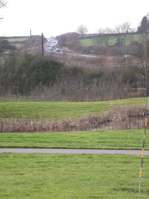
Astey Wood is a picturesque woodland located in the county of Bedfordshire, England. It covers an area of approximately 70 hectares and is situated near the village of Astey. The wood is part of the wider Forest of Marston Vale, a network of woodlands and parks that stretches across the heart of Bedfordshire.
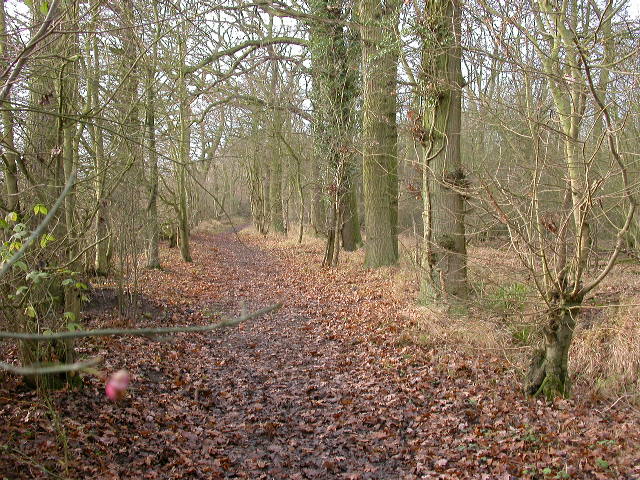
Astey Wood is predominantly composed of broadleaf trees, including species such as oak, beech, and ash. These trees provide a dense canopy that filters sunlight, creating a cool and tranquil atmosphere within the woodland. The forest floor is carpeted with a diverse array of flora, including bluebells, wood anemones, and wild garlic, which bloom in the spring and add a burst of color to the woodland.
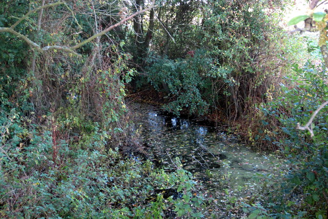
The wood is crisscrossed with a network of footpaths and trails, allowing visitors to explore its natural beauty. These paths lead to various points of interest, such as a small pond and a meadow, providing opportunities for wildlife spotting and birdwatching. The wood is home to a range of bird species, including woodpeckers, tits, and owls, making it a popular destination for bird enthusiasts.
Astey Wood is managed by the Forest of Marston Vale Trust, a charity dedicated to the conservation and enhancement of woodlands in the area. The trust undertakes various initiatives to maintain the health and biodiversity of the wood, such as tree planting and habitat restoration.
Overall, Astey Wood offers a peaceful retreat from the hustle and bustle of daily life, providing visitors with the chance to immerse themselves in nature and enjoy the beauty of Bedfordshire's woodlands.
If you have any feedback on the listing, please let us know in the comments section below.
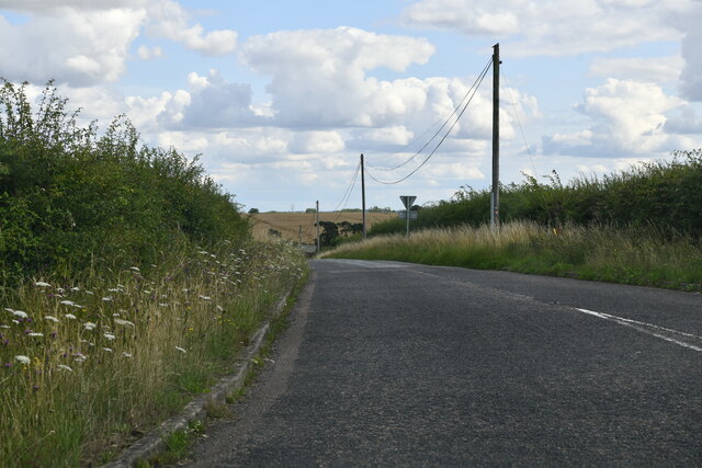
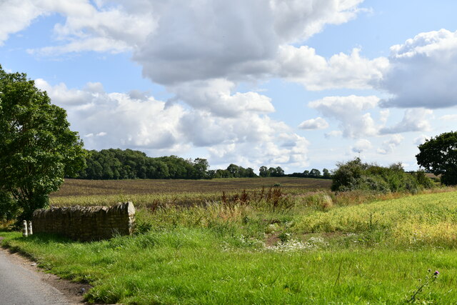
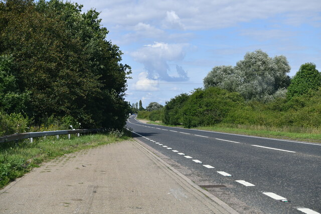
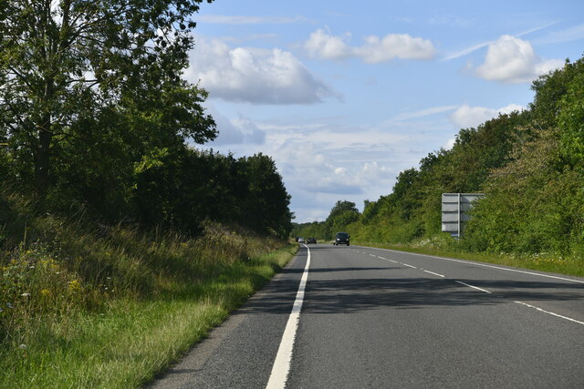
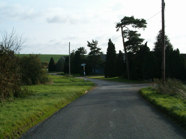
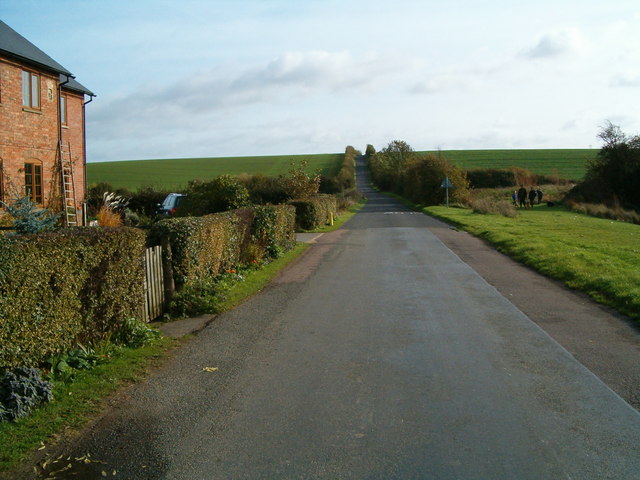
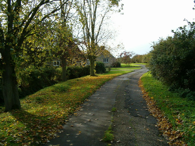
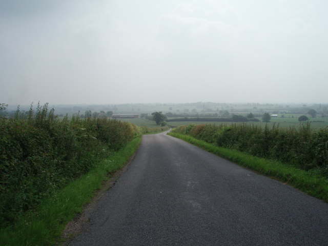
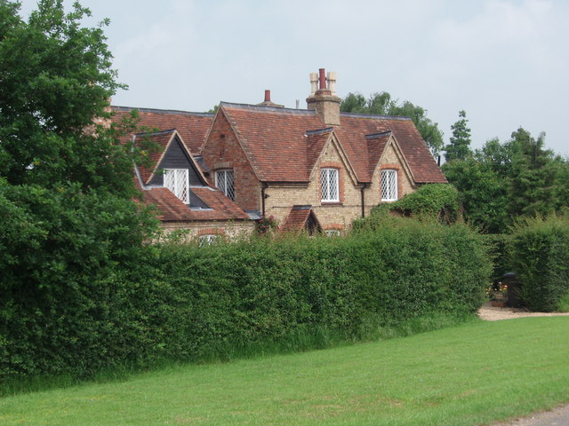
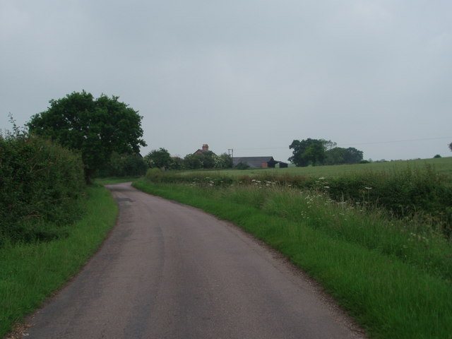
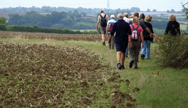
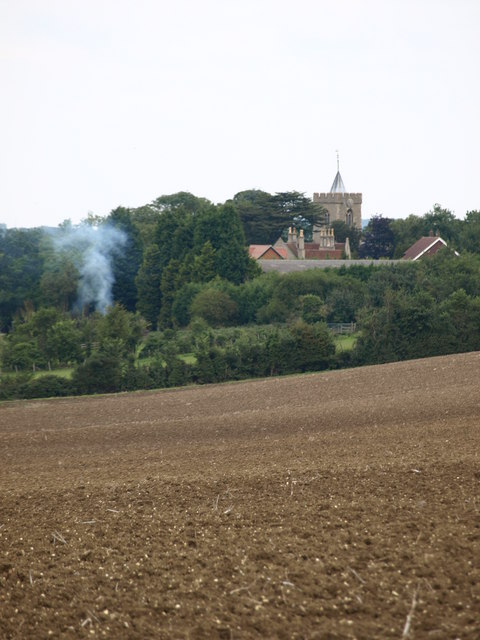
Astey Wood Images
Images are sourced within 2km of 52.125306/-0.55672442 or Grid Reference SP9848. Thanks to Geograph Open Source API. All images are credited.

Astey Wood is located at Grid Ref: SP9848 (Lat: 52.125306, Lng: -0.55672442)
Unitary Authority: Bedford
Police Authority: Bedfordshire
What 3 Words
///extra.snapper.scrambles. Near Stagsden, Bedfordshire
Nearby Locations
Related Wikis

Stagsden
Stagsden is a small but historic village and civil parish located in the Borough of Bedford, northwest Bedfordshire, England, near the Buckinghamshire...

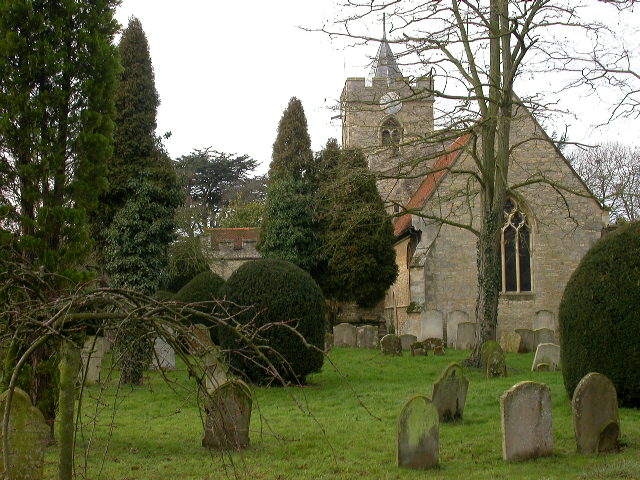
Church of St Leonard, Stagsden
Church of St Leonard is a Grade I listed church in Stagsden, Bedfordshire, England. It became a listed building on 13 July 1964. == See also == Grade...

Bedfordshire Golf Club
Bedfordshire Golf Club is a golf club to the east of Stagsden, Bedfordshire, England. Established in 1891, it is the oldest golf club in Bedfordshire....
Hanger Wood
Hanger Wood is an ancient woodland and Site of Special Scientific Interest (SSSI) in the parish of Stagsden, Bedfordshire in the United Kingdom. Situated...
Box End
Box End (or Kempston Box End) is a small village located in the Borough of Bedford in Bedfordshire, England. It is in the civil parish of Kempston Rural...
Wood End, Bedfordshire
Wood End (or Kempston Wood End) is a small village located in the Borough of Bedford in Bedfordshire, England. The settlement was historically one of the...

Kempston Rural
Kempston Rural is a civil parish in the Borough of Bedford in Bedfordshire, England. == History == Kempston Rural was formed in 1896 when the old parish...

Bromham, Bedfordshire
Bromham is a village and civil parish in the Borough of Bedford in Bedfordshire, England, situated around 3 miles (4.8 km) west of Bedford town centre...
Nearby Amenities
Located within 500m of 52.125306,-0.55672442Have you been to Astey Wood?
Leave your review of Astey Wood below (or comments, questions and feedback).