Highhoes Copse

Wood, Forest in Sussex Chichester

England

Highhoes Copse

Daffodils in Coates Churchyard
Daffodils in Coates Churchyard Credit: Basher Eyre

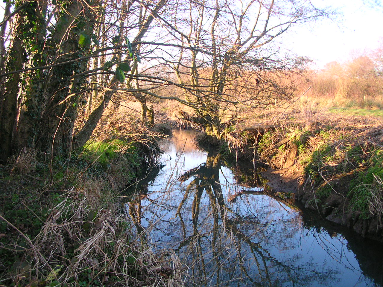
Highhoes Copse is a picturesque woodland located in Sussex, England. Stretching over an area of approximately 20 hectares, this forest is a haven for nature enthusiasts and wildlife lovers alike. The copse is situated in the heart of the South Downs National Park, offering visitors a serene and tranquil escape from the hustle and bustle of everyday life.

The woodland is predominantly made up of native tree species such as oak, beech, and ash, creating a diverse and vibrant ecosystem. These majestic trees provide ample shade during the summer months, making it an ideal spot for picnics and leisurely walks. In spring, the forest floor comes alive with a carpet of bluebells, creating a breathtaking sight that attracts visitors from near and far.

Highhoes Copse is home to a wide range of wildlife, including deer, badgers, foxes, and a variety of bird species. Birdwatchers can spot woodpeckers, owls, and various songbirds throughout the year. The copse is also a popular spot for butterfly enthusiasts, with species such as the purple emperor and silver-washed fritillary frequenting the area.

The woodland is crisscrossed with a network of well-maintained footpaths, allowing visitors to explore its beauty at their own pace. Interpretive signs along the way provide information about the flora and fauna found within the copse, enhancing the overall experience.

Whether you're seeking a peaceful retreat or an opportunity to immerse yourself in nature's wonders, Highhoes Copse is a must-visit destination in Sussex. Its natural beauty and rich biodiversity make it a true gem in the heart of the English countryside.

If you have any feedback on the listing, please let us know in the comments section below.

Highhoes Copse Images

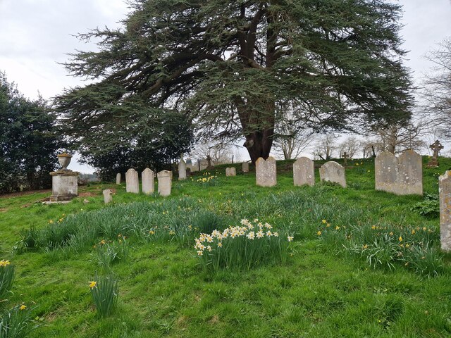
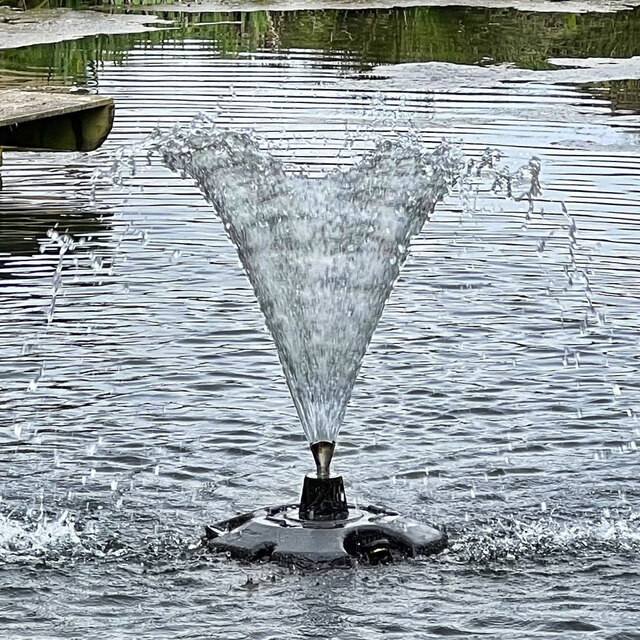
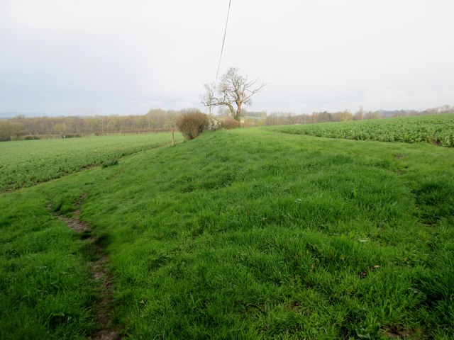
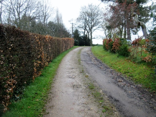
Images are sourced within 2km of 50.964463/-0.59301833 or Grid Reference SU9819. Thanks to Geograph Open Source API. All images are credited.

Daffodils in Coates Churchyard
Wild daffodils in Egdean Churchyard
Fountain in the pond behind the Black Horse pub
Station Road, Coultershaw
Coates Manor House, from the south Seen from the churchyard.
Coates Manor House, from the south
Seen from the churchyard.
Coates Manor House, from the south-east The main structure - built of pale sandstone with brick string-courses - is said to date from the 17th century (Nairn and Pevsner, 'The Buildings of England: Sussex').  Not visible from this angle is the lower, later north wing <a title="https://www.geograph.org.uk/photo/4698969" href="https://www.geograph.org.uk/photo/4698969">Link</a>    built of a more colourful ironstone (similar to the material known in Surrey as Bargate stone).  The listing (rather brief) is to be found here: <span class="nowrap"><a title="http://www.britishlistedbuildings.co.uk/en-300472-coates-manor-house-fittleworth-west-suss#.VhkWGighzo4" rel="nofollow ugc noopener" href="http://www.britishlistedbuildings.co.uk/en-300472-coates-manor-house-fittleworth-west-suss#.VhkWGighzo4">Link</a><img style="margin-left:2px;" alt="External link" title="External link - shift click to open in new window" src="https://s1.geograph.org.uk/img/external.png" width="10" height="10"/></span>

The settlement pattern at Coates is puzzling - a scattered hamlet rather than a village - and I wonder whether there was a more compact settlement in medieval times.
Coates Manor House, from the south-east
The main structure - built of pale sandstone with brick string-courses - is said to date from the 17th century (Nairn and Pevsner, 'The Buildings of England: Sussex'). Not visible from this angle is the lower, later north wing Link built of a more colourful ironstone (similar to the material known in Surrey as Bargate stone). The listing (rather brief) is to be found here: LinkExternal link The settlement pattern at Coates is puzzling - a scattered hamlet rather than a village - and I wonder whether there was a more compact settlement in medieval times.
Coates Manor House According to the Listing, this dates from the early 17th century <span class="nowrap"><a title="http://www.britishlistedbuildings.co.uk/en-300472-coates-manor-house-fittleworth-west-suss#.VhkWGighzo4" rel="nofollow ugc noopener" href="http://www.britishlistedbuildings.co.uk/en-300472-coates-manor-house-fittleworth-west-suss#.VhkWGighzo4">Link</a><img style="margin-left:2px;" alt="External link" title="External link - shift click to open in new window" src="https://s1.geograph.org.uk/img/external.png" width="10" height="10"/></span>
Coates Manor House
According to the Listing, this dates from the early 17th century LinkExternal link
Coates church from the south-east
Coates church and churchyard
Coates church from the west
St Agatha's church from Coates Lane I scrambled up a bank to take this shot over the churchyard wall.
St Agatha's church from Coates Lane
I scrambled up a bank to take this shot over the churchyard wall.
Coates Manor House, from St Agatha's churchyard
Coates Manor House, north wing
Footpath between bean fields Public footpath 670 to High Hoes.
Footpath between bean fields
Public footpath 670 to High Hoes.
Track to Woodruff's Farm Public footpath 3453.
Track to Woodruff's Farm
Public footpath 3453.
Track adjacent  to Highhoes Copse Public footpath 670 to High Hoes.
Track adjacent to Highhoes Copse
Public footpath 670 to High Hoes.
Bean Field Adjacent to public footpath 670.
Bean Field
Adjacent to public footpath 670.
Footpath between field beans and hedge Public footpath 670 to High Hoes.
Footpath between field beans and hedge
Public footpath 670 to High Hoes.
Show me another place!

Highhoes Copse is located at Grid Ref: SU9819 (Lat: 50.964463, Lng: -0.59301833)

Administrative County: West Sussex

District: Chichester

Police Authority: Sussex

What 3 Words

///sneezing.gazes.snowboard. Near Petworth, West Sussex

Related Wikis

Coates Castle SSSI

Coates Castle SSSI is a 7.7-hectare (19-acre) biological Site of Special Scientific Interest west of Pulborough in West Sussex.This site consists of three...

Petworth Canal

The Petworth Canal was one of Britain's shorter lasting canals, opened in 1795 and dismantled in 1826. Upon completion of the Rother Navigation, the Earl...

Egdean

Egdean (pronounced Egg-deen) is a small village in the Chichester district of West Sussex, England. It lies just off the A283 road 1.7 miles (2.8 km) southeast...

Coates, West Sussex

Coates is a downland village in the Chichester district of West Sussex, England. Coates lies one mile (1.7 km) southwest from Fittleworth and four miles...

Coultershaw Wharf and Beam Pump

Coultershaw Bridge is a rural community situated 1.5 mi (2.4 km) south of the town Petworth in West Sussex, England where the A285 road from Petworth to...

Petworth railway station

Petworth railway station was a railway station nearly two miles (3 km) from the town of Petworth in West Sussex, England. It was located on the former...

Burton Park SSSI

Burton Park SSSI is a 57.7-hectare (143-acre) biological Site of Special Scientific Interest west of Pulborough in West Sussex. A larger area of 63 hectares...

Fittleworth

Fittleworth is a village and civil parish in the District of Chichester in West Sussex, England located seven kilometres (3 miles) west from Pulborough...

Nearby Amenities

Located within 500m of 50.964463,-0.59301833
Power: pole
Source: Bing
Lat/Long: 50.9666444/-0.5988287
Power: pole
Source: Bing
Lat/Long: 50.966098/-0.5954719
Power: pole
Source: Bing
Lat/Long: 50.9656436/-0.5941817
Power: pole
Source: Bing
Lat/Long: 50.9651791/-0.5928728
Power: pole
Source: Bing
Lat/Long: 50.964674/-0.5914244
Power: pole
Source: Bing
Lat/Long: 50.9641791/-0.5900055
Power: pole
Source: Bing
Lat/Long: 50.963478/-0.5880019
Power: pole
Lat/Long: 50.9629974/-0.5866662
Power: pole
Lat/Long: 50.9665794/-0.5968773
Power: pole
Lat/Long: 50.9670093/-0.5980642
The data included in this document is from www.openstreetmap.org. The data is made available under ODbL.

Have you been to Highhoes Copse?

Leave your review of Highhoes Copse below (or comments, questions and feedback).