Hamcorner Spinney
Wood, Forest in Bedfordshire
England
Hamcorner Spinney
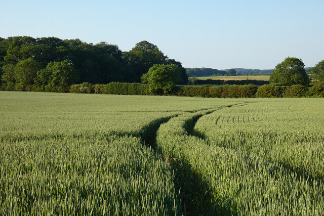
Hamcorner Spinney is a picturesque woodland located in Bedfordshire, England. Spanning over an area of approximately 20 acres, this enchanting forest is a haven for nature enthusiasts and those seeking a tranquil escape from the hustle and bustle of everyday life.
The wood is characterized by its dense canopy of mature trees, predominantly consisting of oak and beech. Their towering presence creates a cool and shaded environment, even during the hottest summer months. The forest floor is covered with a carpet of lush green moss, adding to the magical ambiance of the Spinney.
Walking through Hamcorner Spinney, visitors are treated to a symphony of sounds from various bird species that call this woodland home. The melodious songs of blackbirds, robins, and thrushes fill the air, creating a soothing backdrop to the rustling of leaves and the gentle flow of the nearby stream.
Wildlife is abundant in Hamcorner Spinney, with sightings of deer, rabbits, and squirrels being common. The forest provides a rich habitat for these creatures, offering ample food sources and sheltered areas for nesting and breeding.
The wood is crisscrossed with a network of well-maintained footpaths, allowing visitors to explore its depths and discover its hidden treasures. A small picnic area provides a perfect spot to rest and enjoy a packed lunch amidst the tranquility of nature.
Hamcorner Spinney is a true gem in Bedfordshire, offering a slice of untouched wilderness just waiting to be explored. Whether you are a nature lover, a keen photographer, or simply seeking a peaceful retreat, this woodland is sure to leave a lasting impression.
If you have any feedback on the listing, please let us know in the comments section below.
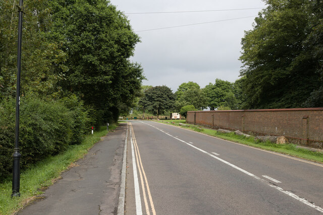
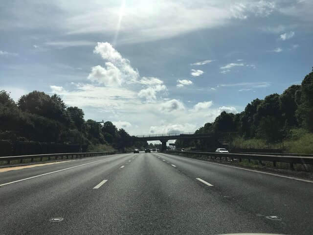
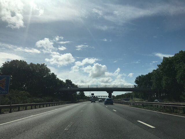
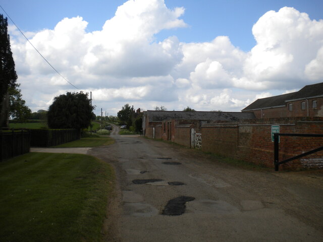
Hamcorner Spinney Images
Images are sourced within 2km of 52.014266/-0.56347674 or Grid Reference SP9836. Thanks to Geograph Open Source API. All images are credited.


Hamcorner Spinney is located at Grid Ref: SP9836 (Lat: 52.014266, Lng: -0.56347674)
Unitary Authority: Central Bedfordshire
Police Authority: Bedfordshire
What 3 Words
///tastier.weeknight.drumbeat. Near Ridgmont, Bedfordshire
Nearby Locations
Related Wikis
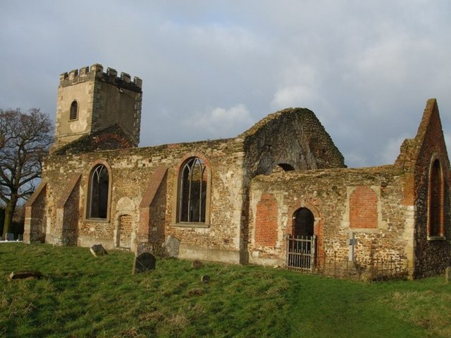
All Saints Church, Segenhoe
All Saints Church, Segenhoe is a ruined medieval church located near the village of Ridgmont, Bedfordshire. It contains architectural details that range...

Ridgmont
Ridgmont is a small village and civil parish in Bedfordshire, England. It is located beside junction 13 of the M1 motorway, and close to Milton Keynes...
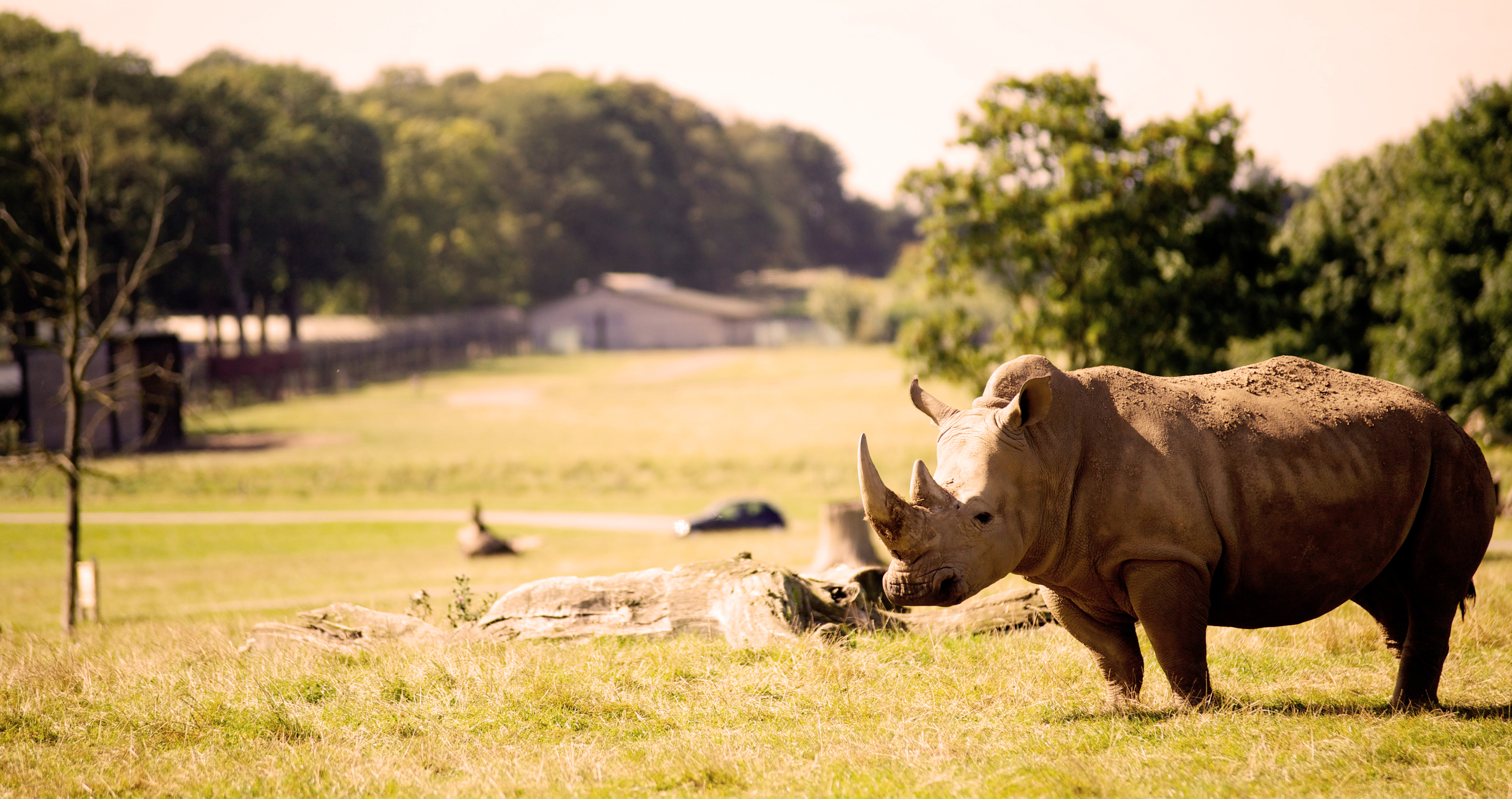
Woburn Safari Park
Woburn Safari Park is a safari park located in Woburn, Bedfordshire, England. Visitors to the park can drive through exhibits, which contain species such...

Steppingley
Steppingley is a rural village and civil parish in Bedfordshire, England. It stands on high ground in the centre of a small parish of about 562 ha on...
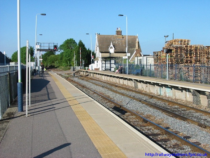
Ridgmont railway station
Ridgmont railway station is a small unstaffed railway station that serves the village of Ridgmont in Bedfordshire. The station is about 1 mile (2 km) away...
Husborne Crawley
Husborne Crawley is a small village and civil parish in Bedfordshire, England, located close to Junction 13 of the M1 motorway. The village touches the...

Rugemont Castle
Rugemont Castle was a castle in the village of Ridgmont, in the county of Bedfordshire, England (grid reference SP97033846). == History == Not much is...
Froxfield, Bedfordshire
Froxfield is a small hamlet in Bedfordshire, England. == References == The geographic coordinates are from the Ordnance Survey.
Nearby Amenities
Located within 500m of 52.014266,-0.56347674Have you been to Hamcorner Spinney?
Leave your review of Hamcorner Spinney below (or comments, questions and feedback).