Southbelt Plantation
Wood, Forest in Yorkshire
England
Southbelt Plantation

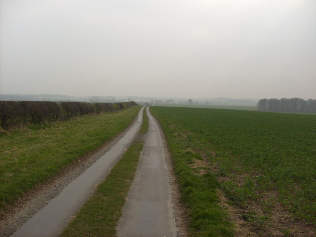
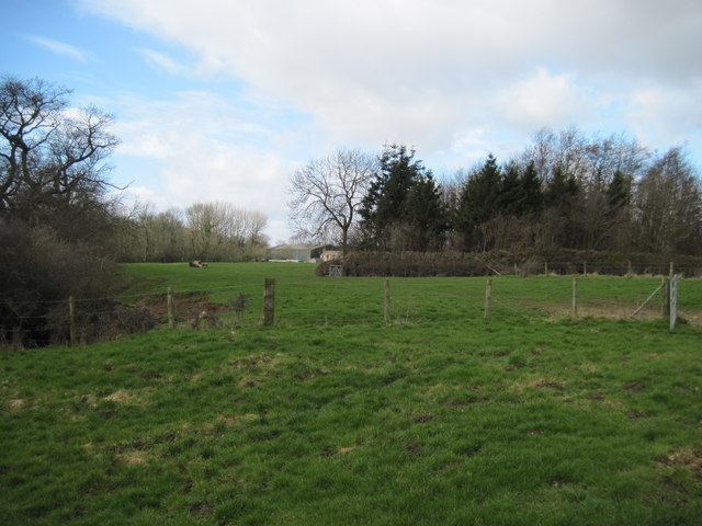
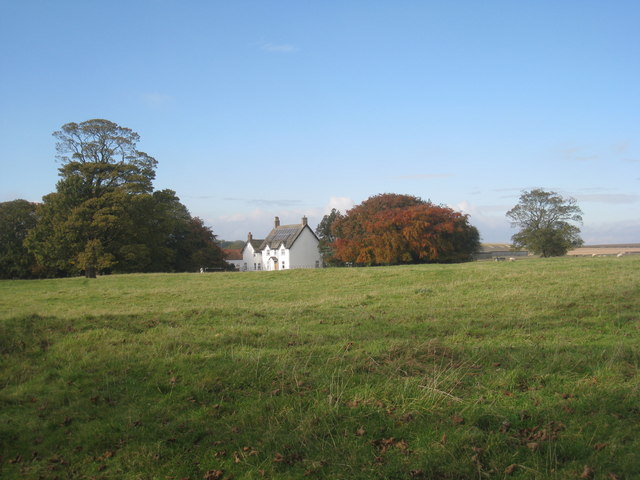
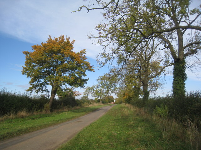
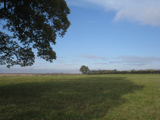
Southbelt Plantation is a charming woodland estate located in Yorkshire, England. Situated in the heart of a lush forest, the plantation covers a vast area of land with its sprawling woodlands and picturesque scenery. It attracts nature enthusiasts, hikers, and those seeking tranquility and solace in the beauty of the outdoors.
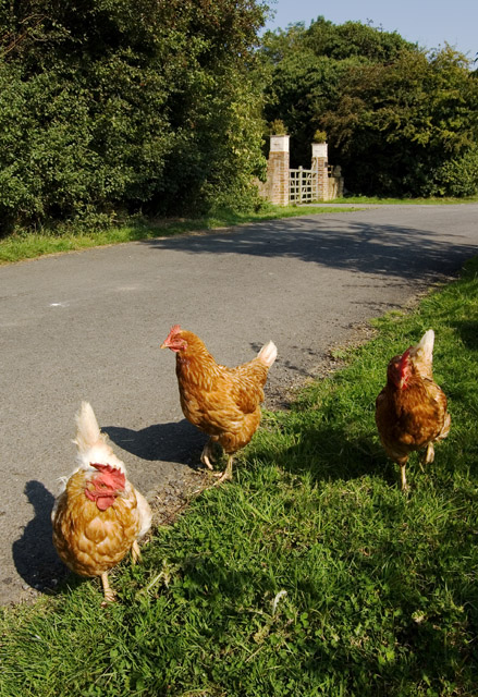
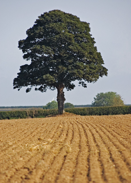
The plantation boasts a diverse range of tree species, including oak, beech, and pine, which create a rich tapestry of colors throughout the year. The forest floor is adorned with a myriad of wildflowers, adding to the enchanting atmosphere of the place. Walking through the woodland trails, visitors can spot various wildlife species, such as deer, foxes, and countless species of birds.
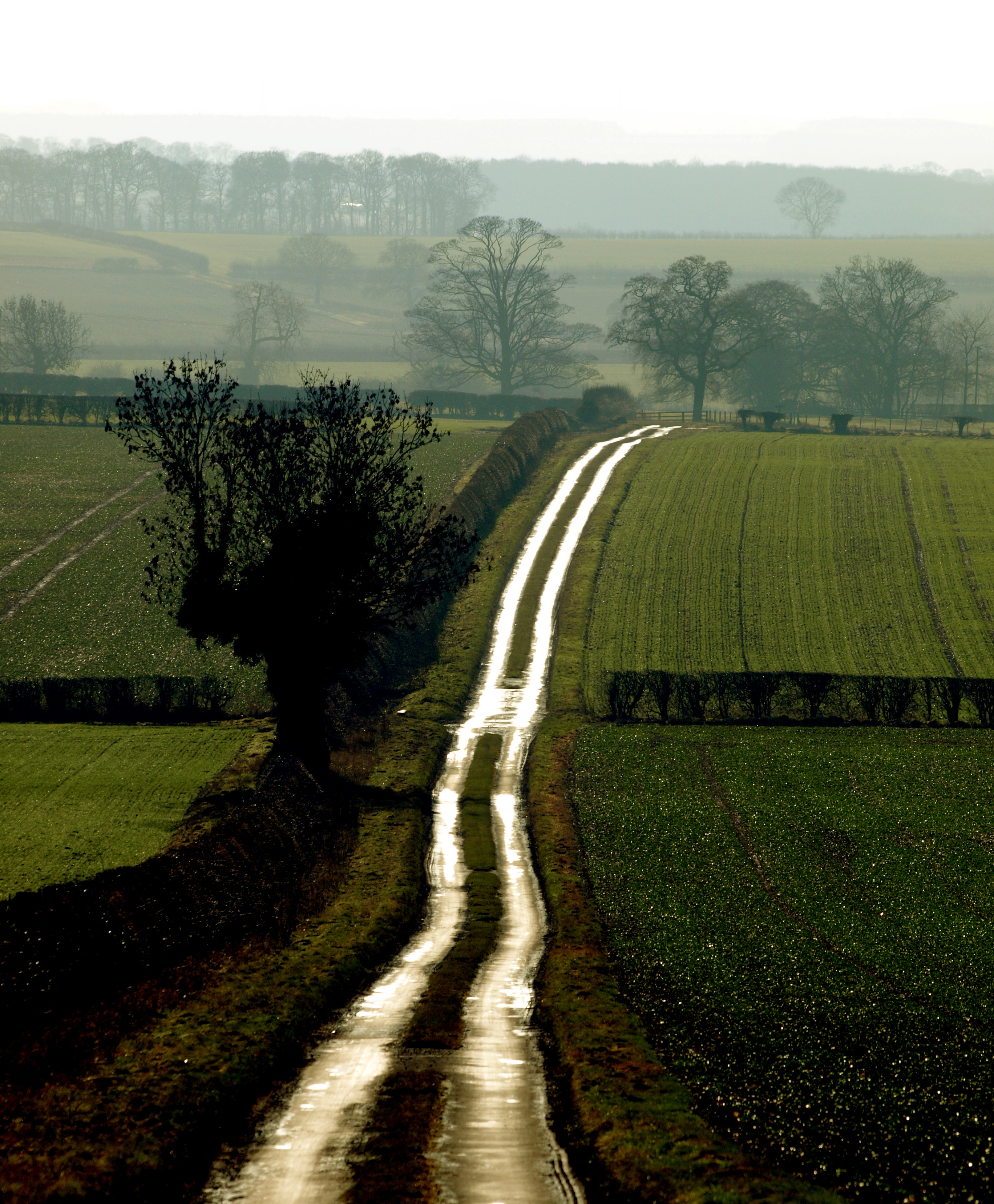
Southbelt Plantation offers several amenities to enhance visitors' experience. There are well-maintained walking paths that meander through the woods, allowing visitors to explore the plantation at their own pace. Picnic areas are scattered across the estate, providing an ideal spot to enjoy a leisurely lunch amidst the natural surroundings.
For those interested in delving deeper into the history and ecology of the area, guided tours are available. Knowledgeable guides offer insights into the plantation's past, its role in the local ecosystem, and the efforts taken to preserve its natural beauty.
Southbelt Plantation is a true haven for nature lovers and provides a sanctuary for both residents and visitors seeking respite from the hustle and bustle of everyday life. It offers a unique opportunity to immerse oneself in the splendor of Yorkshire's woodlands and revel in the wonders of the natural world.
If you have any feedback on the listing, please let us know in the comments section below.
Southbelt Plantation Images
Images are sourced within 2km of 53.929195/-0.49881489 or Grid Reference SE9849. Thanks to Geograph Open Source API. All images are credited.


Southbelt Plantation is located at Grid Ref: SE9849 (Lat: 53.929195, Lng: -0.49881489)
Division: East Riding
Unitary Authority: East Riding of Yorkshire
Police Authority: Humberside
What 3 Words
///reduce.behalf.canine. Near Lockington, East Yorkshire
Nearby Locations
Related Wikis

Kilnwick
Kilnwick (or Kilnwick-on-the-Wolds) is a village and former civil parish, now in the parish of Beswick, in the East Riding of Yorkshire, England. It is...
Bracken on the Wolds
Bracken on the Wolds (or Bracken) is a manor and hamlet in the East Riding of Yorkshire, England. It is situated in the Yorkshire Wolds approximately 1...

East Riding of Yorkshire
The East Riding of Yorkshire, often abbreviated to the East Riding or East Yorkshire, is a ceremonial county in the Yorkshire and the Humber region of...

North Humberside
North Humberside is a former postal county of England. It was introduced by the Royal Mail on 1 July 1974, when some addresses were altered in response...
Nearby Amenities
Located within 500m of 53.929195,-0.49881489Have you been to Southbelt Plantation?
Leave your review of Southbelt Plantation below (or comments, questions and feedback).