Pottergate Plantation
Wood, Forest in Lincolnshire North Kesteven
England
Pottergate Plantation
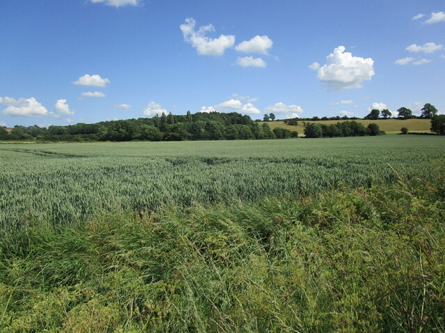
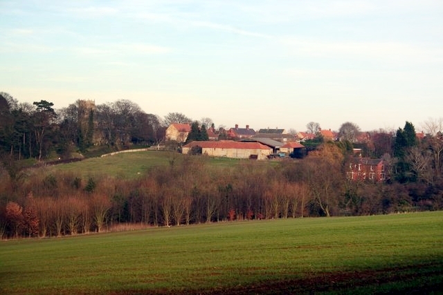
Pottergate Plantation, located in Lincolnshire, is a dense woodland area known for its natural beauty and rich biodiversity. Spanning over several acres, this plantation is a popular destination for nature enthusiasts, hikers, and birdwatchers alike.
The woodland of Pottergate Plantation is primarily composed of a mixture of native tree species, including oak, ash, birch, and beech. These trees create a dense canopy that provides a shaded and tranquil environment, perfect for exploring or enjoying a peaceful walk. The forest floor is covered with a diverse array of plant life, including ferns, wildflowers, and mosses, adding to the overall charm and beauty of the area.
One of the notable features of Pottergate Plantation is the presence of various wildlife species. The woodland provides a habitat for a wide range of animals, including deer, foxes, rabbits, and numerous bird species. Birdwatchers can spot woodpeckers, owls, and songbirds among the branches. The plantation is also home to several rare and protected species, making it an important conservation area.
Visitors to Pottergate Plantation can explore the area through a network of walking trails, allowing them to experience the natural wonders of the woodland. These trails cater to different levels of difficulty, ensuring that everyone can enjoy the plantation at their own pace. Additionally, there are picnic areas and benches strategically placed throughout the woodland, offering visitors the chance to relax and appreciate the surrounding nature.
Overall, Pottergate Plantation is a picturesque woodland area that offers a peaceful retreat from the hustle and bustle of daily life. Its diverse flora and fauna, combined with its well-maintained trails, make it a haven for nature lovers and a must-visit destination in Lincolnshire.
If you have any feedback on the listing, please let us know in the comments section below.
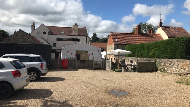
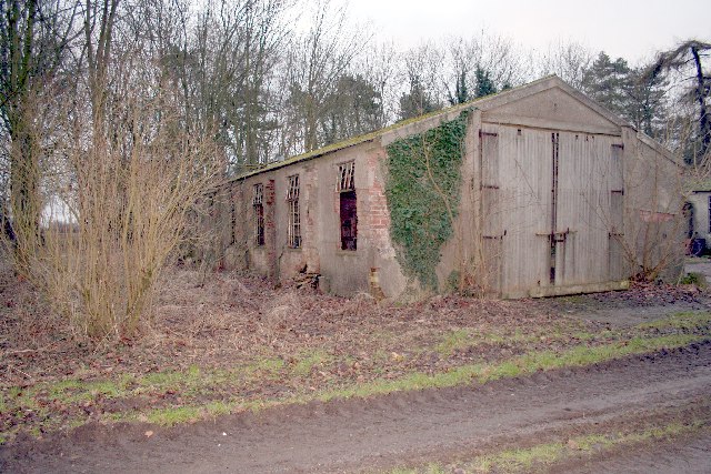
Pottergate Plantation Images
Images are sourced within 2km of 53.088997/-0.53158967 or Grid Reference SK9855. Thanks to Geograph Open Source API. All images are credited.


Pottergate Plantation is located at Grid Ref: SK9855 (Lat: 53.088997, Lng: -0.53158967)
Administrative County: Lincolnshire
District: North Kesteven
Police Authority: Lincolnshire
What 3 Words
///sensibly.flamenco.grumbling. Near Navenby, Lincolnshire
Nearby Locations
Related Wikis

Wellingore
Wellingore is a village and civil parish in the North Kesteven district of Lincolnshire, England. The population of the civil parish at the 2011 census...
RAF Wellingore
Royal Air Force Wellingore or more simply RAF Wellingore is a former Royal Air Force fighter relief landing ground located 1.9 miles (3.1 km) south of...
Navenby
Navenby is a village and civil parish in the North Kesteven district of Lincolnshire, England. Lying 8 miles (13 km) south from Lincoln and 9 miles (14...

Welbourn
Welbourn is a village and civil parish in the North Kesteven district of Lincolnshire, England. The population of the civil parish at the 2011 census was...
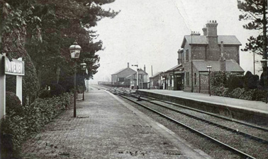
Navenby railway station
Navenby railway station was a railway station in Navenby, Lincolnshire on the Grantham and Lincoln railway line. The station closed for passengers in...
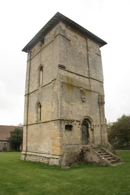
Temple Bruer Preceptory
Temple Bruer Preceptory is a historic building in the civil parish of Temple Bruer with Temple High Grange, North Kesteven, Lincolnshire, England. It...

Temple Bruer with Temple High Grange
Temple Bruer with Temple High Grange is a civil parish and a former extra-parochial area in North Kesteven, Lincolnshire, England which had in the Medieval...
Sir William Robertson Academy
Sir William Robertson Academy (formerly Sir William Robertson High School) is a coeducational secondary school of around 1000 pupils, situated in Welbourn...
Nearby Amenities
Located within 500m of 53.088997,-0.53158967Have you been to Pottergate Plantation?
Leave your review of Pottergate Plantation below (or comments, questions and feedback).