Reservoir Plantation

Wood, Forest in Lincolnshire North Kesteven

England

Reservoir Plantation

The sign of the Red Lion See <a href="https://www.geograph.org.uk/photo/7272512">SK9856 : The Red Lion</a>
The sign of the Red Lion Credit: David Lally

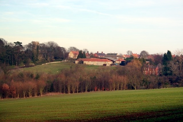
Reservoir Plantation, located in Lincolnshire, is a picturesque woodland area known for its scenic beauty and thriving ecosystem. Spanning a vast area, this plantation is primarily characterized by its dense forest cover and the presence of a large reservoir that serves as a water source for the surrounding areas.

The woodland is home to a diverse range of tree species, including oak, birch, beech, and pine, which create a rich and vibrant landscape throughout the year. The dense vegetation provides a habitat for a variety of wildlife, including deer, foxes, rabbits, and numerous bird species.

The reservoir itself is a notable feature of the plantation. It is a man-made body of water that serves multiple purposes, including providing irrigation water for nearby agricultural fields and acting as a recreational area for visitors. The reservoir is a popular spot for fishing, boating, and birdwatching, attracting nature enthusiasts and anglers alike.

Reservoir Plantation also offers several walking trails and picnic areas, allowing visitors to explore the woodland and enjoy the tranquil surroundings. The plantation management emphasizes environmental conservation and sustainable practices, ensuring the preservation of the ecosystem for future generations.

Overall, Reservoir Plantation in Lincolnshire is a cherished natural area that offers a peaceful retreat from the hustle and bustle of everyday life. Its diverse flora and fauna, combined with the scenic reservoir, make it a popular destination for nature lovers and outdoor enthusiasts seeking to connect with the beauty of the natural world.

If you have any feedback on the listing, please let us know in the comments section below.

Reservoir Plantation Images

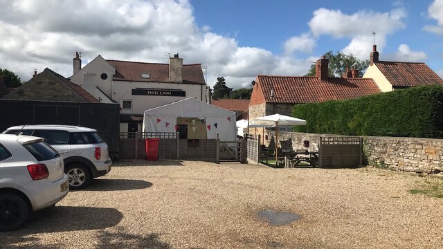
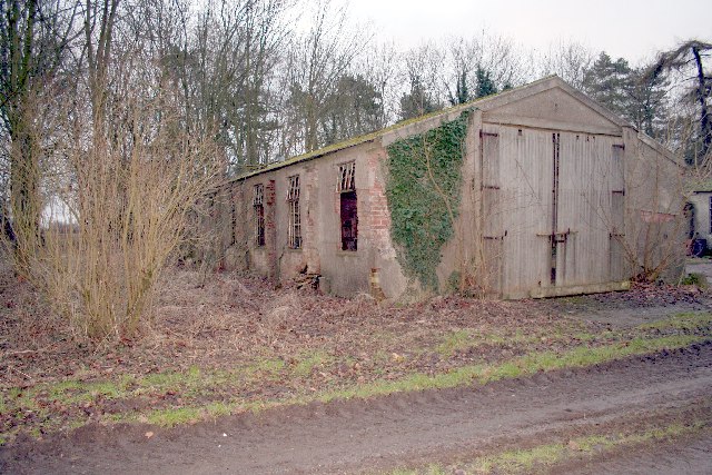
Images are sourced within 2km of 53.086394/-0.53630705 or Grid Reference SK9855. Thanks to Geograph Open Source API. All images are credited.

The sign of the Red Lion See <a href="https://www.geograph.org.uk/photo/7272512">SK9856 : The Red Lion</a>
The sign of the Red Lion
The Red Lion
The Red Lion
Overgrown field, Welbourn
House, North End, Welbourn
Former Wesleyan Chapel. Welbourn Established in 1839. Now a house.
Former Wesleyan Chapel. Welbourn
Established in 1839. Now a house.
Welbourn House Dates from the mid eighteenth century <span class="nowrap"><a title="https://historicengland.org.uk/listing/the-list/list-entry/1061851?section=official-list-entry" rel="nofollow ugc noopener" href="https://historicengland.org.uk/listing/the-list/list-entry/1061851?section=official-list-entry">Link</a><img style="margin-left:2px;" alt="External link" title="External link - shift click to open in new window" src="https://s1.geograph.org.uk/img/external.png" width="10" height="10"/></span>
Welbourn House
Dates from the mid eighteenth century LinkExternal link
Wheat field, Wellingore Low Fields A flowering bullrush in the foreground.
Wheat field, Wellingore Low Fields
A flowering bullrush in the foreground.
Course of former railway The railway linked Grantham, via Honington Junction, with Lincoln. It opened in 1867 and closed in 1966.
Course of former railway
The railway linked Grantham, via Honington Junction, with Lincoln. It opened in 1867 and closed in 1966.
Course of former railway The railway linked Grantham, via Honington Junction, with Lincoln. It opened in 1867 and closed in 1966. Parts of the route have become farm tracks or public footpaths but here there is a pond.
Course of former railway
The railway linked Grantham, via Honington Junction, with Lincoln. It opened in 1867 and closed in 1966. Parts of the route have become farm tracks or public footpaths but here there is a pond.
Hooks Lane near Wellingore
View from Hooks Lane towards Wellingore
Wheat field and Wellingore Gorse
Skinnand Lane Looking west from the former railway overbridge (BLN23).
Skinnand Lane
Looking west from the former railway overbridge (BLN23).
Castle Hill, Welbourn A medieval ringwork which enclosed the manor of Northalle <span class="nowrap"><a title="https://historicengland.org.uk/listing/the-list/list-entry/1020436?section=official-list-entry" rel="nofollow ugc noopener" href="https://historicengland.org.uk/listing/the-list/list-entry/1020436?section=official-list-entry">Link</a><img style="margin-left:2px;" alt="External link" title="External link - shift click to open in new window" src="https://s1.geograph.org.uk/img/external.png" width="10" height="10"/></span>
Castle Hill, Welbourn
A medieval ringwork which enclosed the manor of Northalle LinkExternal link
Cottages and corner of the churchyard, Welbourn
War Memorial, Welbourn Unusually does not appear to be listed.
War Memorial, Welbourn
Unusually does not appear to be listed.
Church of St Chad, Welbourn The body of the church is medieval but the chancel was rebuilt in 1854 <span class="nowrap"><a title="https://historicengland.org.uk/listing/the-list/list-entry/1061852?section=official-list-entry" rel="nofollow ugc noopener" href="https://historicengland.org.uk/listing/the-list/list-entry/1061852?section=official-list-entry">Link</a><img style="margin-left:2px;" alt="External link" title="External link - shift click to open in new window" src="https://s1.geograph.org.uk/img/external.png" width="10" height="10"/></span>
Church of St Chad, Welbourn
The body of the church is medieval but the chancel was rebuilt in 1854 LinkExternal link
Part of the churchyard, Welbourn
Show me another place!

Reservoir Plantation is located at Grid Ref: SK9855 (Lat: 53.086394, Lng: -0.53630705)

Administrative County: Lincolnshire

District: North Kesteven

Police Authority: Lincolnshire

What 3 Words

///crumble.pining.funky. Near Navenby, Lincolnshire

Related Wikis

RAF Wellingore

Royal Air Force Wellingore or more simply RAF Wellingore is a former Royal Air Force fighter relief landing ground located 1.9 miles (3.1 km) south of...

Wellingore

Wellingore is a village and civil parish in the North Kesteven district of Lincolnshire, England. The population of the civil parish at the 2011 census...

Welbourn

Welbourn is a village and civil parish in the North Kesteven district of Lincolnshire, England. The population of the civil parish at the 2011 census was...

Navenby

Navenby is a village and civil parish in the North Kesteven district of Lincolnshire, England. Lying 8 miles (13 km) south from Lincoln and 9 miles (14...

Nearby Amenities

Located within 500m of 53.086394,-0.53630705
Ele: 63.0000000
Lat/Long: 53.0888737/-0.5313792
Ele: 64.0000000
Lat/Long: 53.0876711/-0.5322848
Ele: 65.0000000
Lat/Long: 53.0874209/-0.5325784
Ele: 66.0000000
Lat/Long: 53.0860135/-0.5336097
Natural: peak
Source: Bing
Lat/Long: 53.0832032/-0.531929
The data included in this document is from www.openstreetmap.org. The data is made available under ODbL.

Have you been to Reservoir Plantation?

Leave your review of Reservoir Plantation below (or comments, questions and feedback).