Easthouses

Settlement in Midlothian

Scotland

Easthouses

Lawfield Farm Sign Sign on public road for Lawfield Farm and Steading above Mayfield in Midlothian.
Lawfield Farm Sign Credit: Adam Ward

Easthouses is a small village located in the county of Midlothian, Scotland. Situated approximately 9 miles southeast of the capital city of Edinburgh, it is part of the wider community of Dalkeith. With a population of around 4,000 people, Easthouses is a close-knit and tight community.

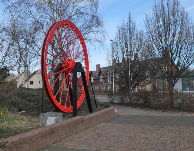
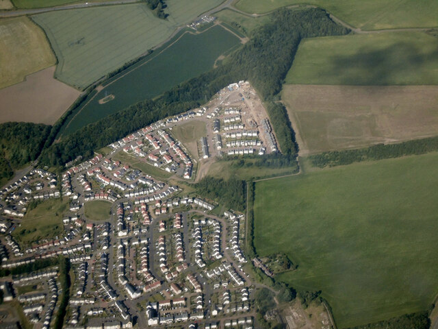
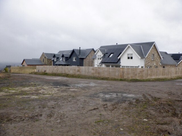
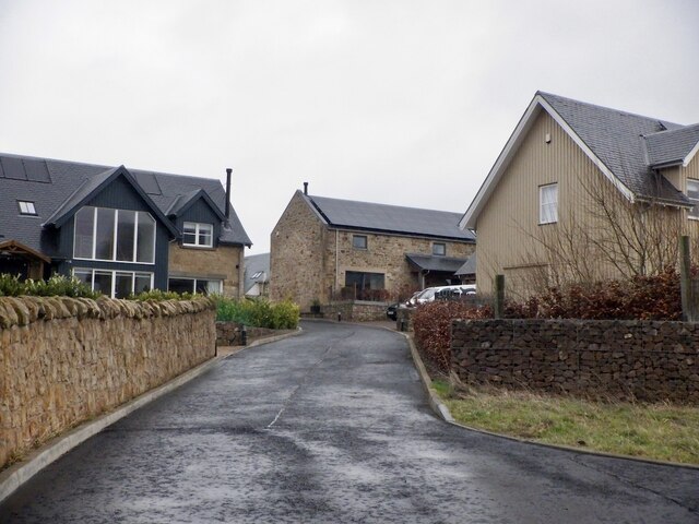
Historically, Easthouses was primarily an industrial area, known for its coal mining and brickmaking industries. However, with the decline of these industries in the late 20th century, the village has transformed into a residential area, with several housing developments popping up in recent years.

Despite its small size, Easthouses offers a range of amenities to its residents. The village has a primary school, Easthouses Primary School, providing education for local children. There are also a few local shops, a community center, and a pub, offering convenience and socializing opportunities for the residents.

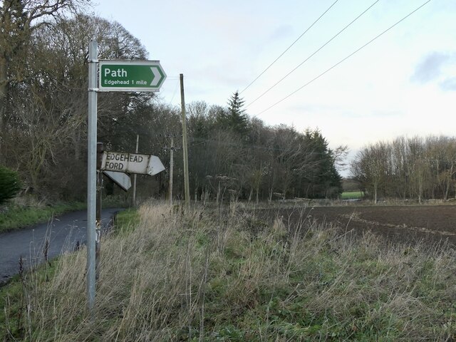
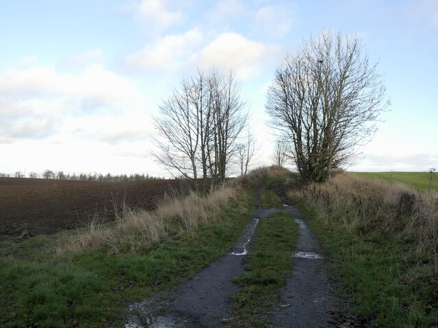
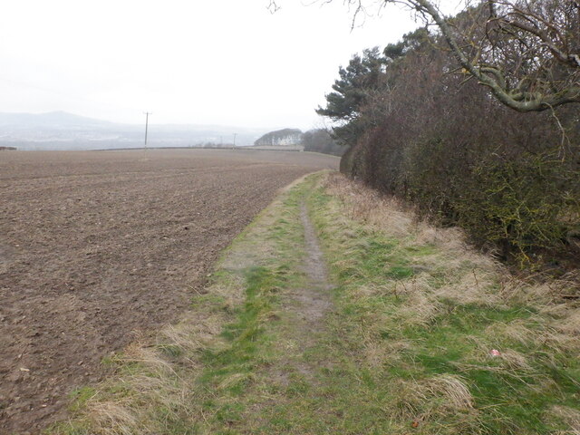
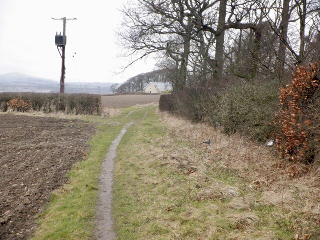
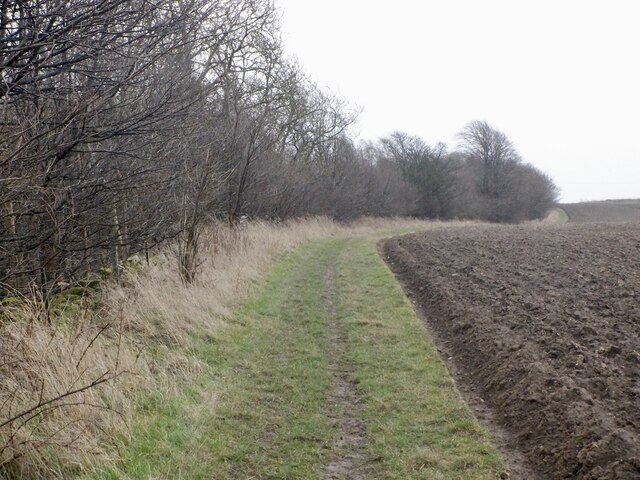
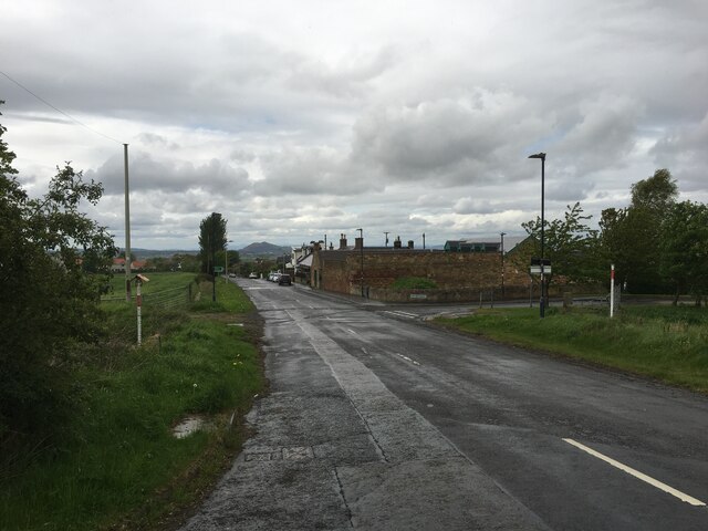
Easthouses is surrounded by beautiful countryside, making it an attractive location for those who enjoy outdoor activities. Nearby, Vogrie Country Park offers scenic walks, picnic areas, and a golf course. The village is also well-connected to larger towns and cities, with regular bus services to Dalkeith and Edinburgh.

Overall, Easthouses offers a quiet and peaceful living environment, with a strong sense of community. Its location provides a perfect balance between rural and urban living, making it an attractive place to reside for both families and individuals looking for a tranquil lifestyle within easy reach of amenities and the city.

If you have any feedback on the listing, please let us know in the comments section below.
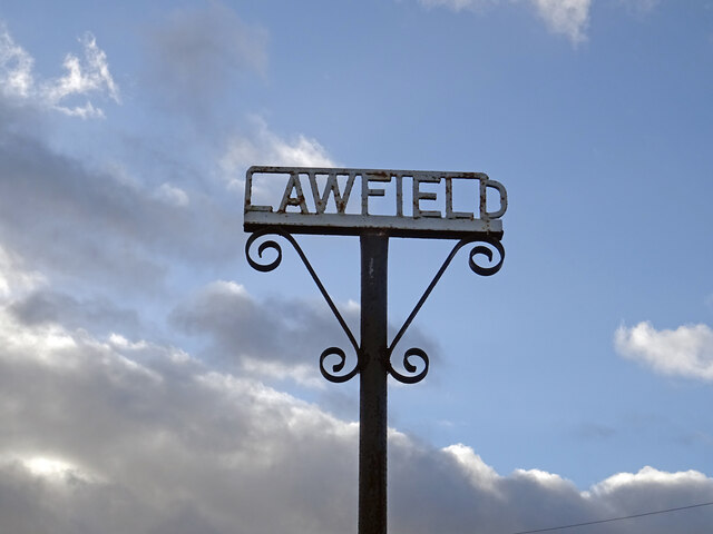
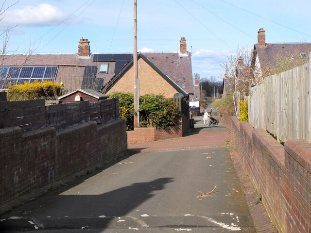
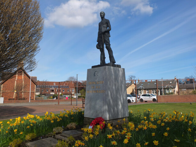
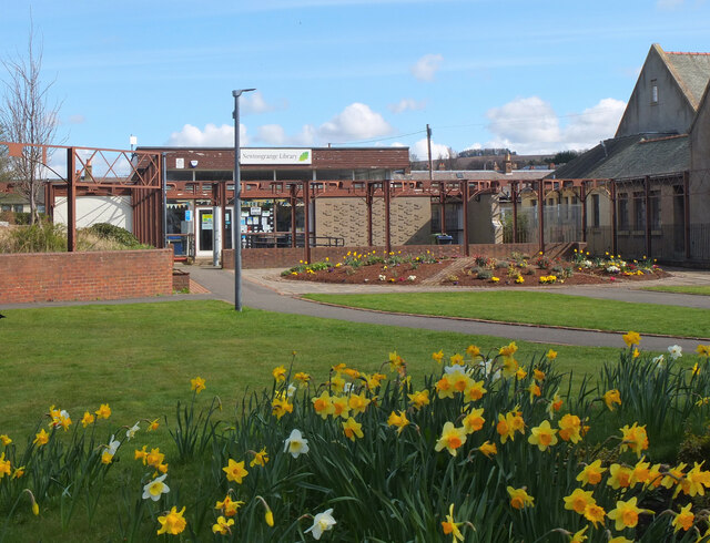
Easthouses Images

Images are sourced within 2km of 55.880328/-3.048596 or Grid Reference NT3465. Thanks to Geograph Open Source API. All images are credited.

Lawfield Farm Sign Sign on public road for Lawfield Farm and Steading above Mayfield in Midlothian.
Lawfield Farm Sign
Sign on public road for Lawfield Farm and Steading above Mayfield in Midlothian.
Lane, Newtongrange A lane between Fourth Street and Fifth Street in this 19th century mining village with a gridiron layout. Note the solar panels.
Lane, Newtongrange
A lane between Fourth Street and Fifth Street in this 19th century mining village with a gridiron layout. Note the solar panels.
Statue of a miner, Newtongrange The plinth is inscribed 'Dedicated to All Mineworkers'.
Statue of a miner, Newtongrange
The plinth is inscribed 'Dedicated to All Mineworkers'.
Newtongrange Library The library in a small park next to the church.
Newtongrange Library
The library in a small park next to the church.
Winding wheel, Newtongrange On display in front of the Leisure Centre to commemorate the coal mining industry here.
Winding wheel, Newtongrange
On display in front of the Leisure Centre to commemorate the coal mining industry here.
Dalkeith from the air Dalkeith suburbs expanding towards the east.
Dalkeith from the air
Dalkeith suburbs expanding towards the east.
Signpost near D' Arcy House The implication that the rough track to Edgehead was once a motor road.  This was once a small oilfield.
Signpost near D' Arcy House
The implication that the rough track to Edgehead was once a motor road. This was once a small oilfield.
D' Arcy to Edgehead road Once the Midlothian oilfield, the road like the oilwell (1919-22) is defunct. Still part of the path network.
D' Arcy to Edgehead road
Once the Midlothian oilfield, the road like the oilwell (1919-22) is defunct. Still part of the path network.
Path beside Limekiln Wood It leads to Lawfield. There is a lot of litter in the wood on the right, probably blown in from nearby Mayfield.
Path beside Limekiln Wood
It leads to Lawfield. There is a lot of litter in the wood on the right, probably blown in from nearby Mayfield.
Path beside Limekiln Wood It leads to Lawfield. There is a lot of litter in the wood on the right, probably blown in from nearby Mayfield.
Path beside Limekiln Wood
It leads to Lawfield. There is a lot of litter in the wood on the right, probably blown in from nearby Mayfield.
Lawfield Newly built houses on the site of a farm.
Lawfield
Newly built houses on the site of a farm.
Lawfield Newly built houses on the site of a farm.
Lawfield
Newly built houses on the site of a farm.
Path near D'Arcy Climbing beside Spy Law Wood towards the site of the oilwell.
Path near D'Arcy
Climbing beside Spy Law Wood towards the site of the oilwell.
Road through Whitehill
A6106 towards Dalkeith
Newtongrange Star FC The seven a side pitch.
Newtongrange Star FC
The seven a side pitch.
New Victoria Park Home of Newtongrange Star, a tidy ground on a bing.
New Victoria Park
Home of Newtongrange Star, a tidy ground on a bing.
Woodland path, Newtongrange On a bing, next to a football ground.
Woodland path, Newtongrange
On a bing, next to a football ground.
Show me another place!

Easthouses is located at Grid Ref: NT3465 (Lat: 55.880328, Lng: -3.048596)

Unitary Authority: Midlothian

Police Authority: The Lothians and Scottish Borders

What 3 Words

///baker.join.loafer. Near Mayfield, Midlothian

Nearby Locations

Bog Wood Easthouses

Related Wikis

Easthouses

Easthouses is a settlement in Midlothian, Scotland, lying to the east of Newtongrange and south of Dalkeith. It forms the northern extension of the settlement...

Newbattle High School

Newbattle High School (formerly Newbattle Community High School) is a non-denominational secondary state school located in Easthouses, Midlothian, Scotland...

Easthouses Lily Miners Welfare F.C.

Easthouses Lily Miners Welfare Football Club are a Scottish football club, based in the Midlothian town of Easthouses. The team currently plays in the...
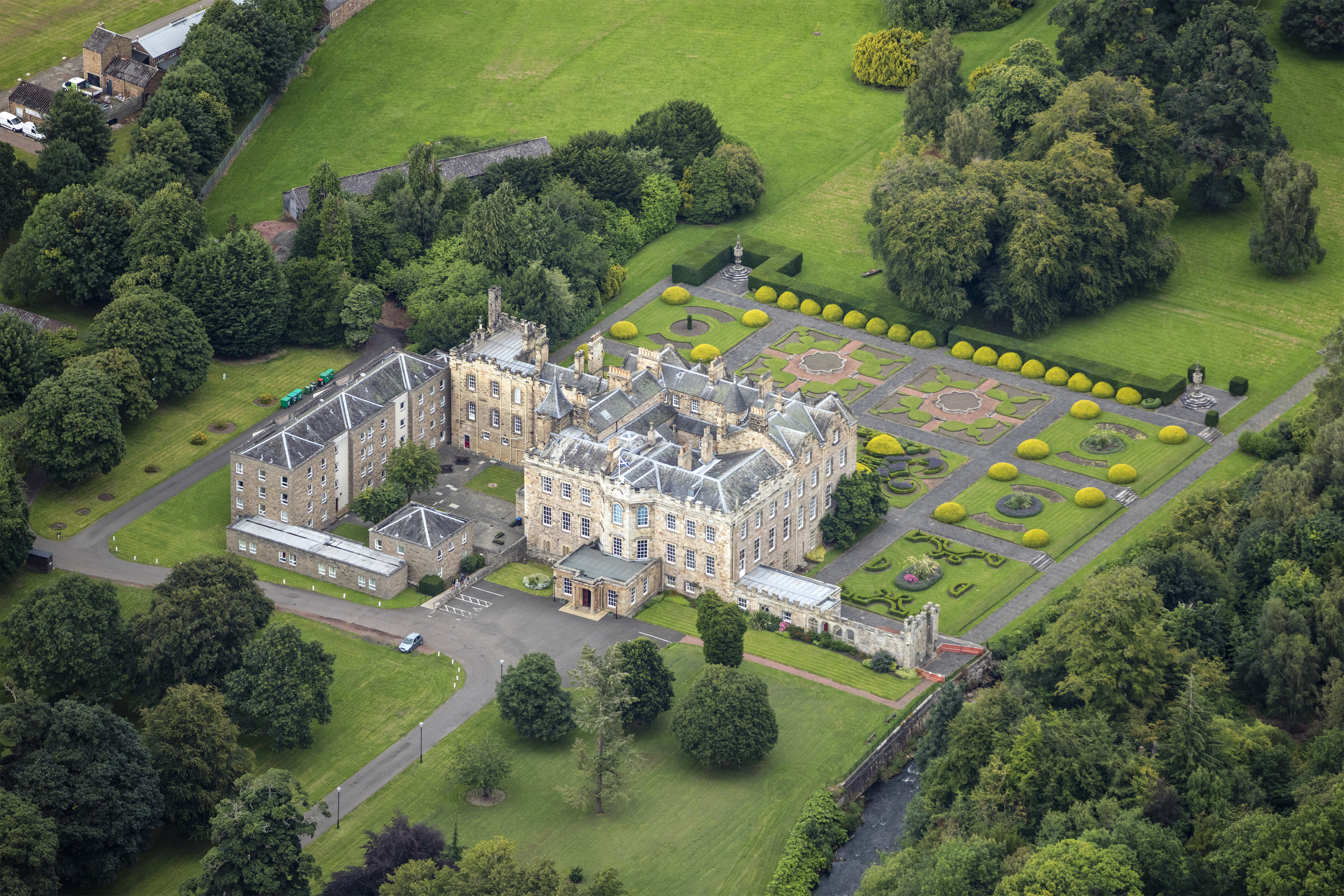
Newbattle Abbey

Newbattle Abbey (Scottish Gaelic: Abaid a' Bhatail Nuaidh) was a Cistercian monastery near the village of Newbattle in Midlothian, Scotland, which subsequently...

Nearby Amenities

Located within 500m of 55.880328,-3.048596
Traffic Calming: island
Lat/Long: 55.8777508/-3.0536341
Mini Roundabout
Lat/Long: 55.8777046/-3.0538122
Traffic Calming: island
Lat/Long: 55.8775883/-3.0538355
Traffic Calming: hump
Lat/Long: 55.8773455/-3.0494551
Easthouses
Place: village
Wikidata: Q5330694
Wikipedia: en:Easthouses
Lat/Long: 55.8802604/-3.0518957
Traffic Calming: hump
Lat/Long: 55.8791573/-3.0529836
Traffic Calming: hump
Lat/Long: 55.8788257/-3.0526663
Give Way
Direction: backward
Lat/Long: 55.8795321/-3.0528125
Traffic Calming: cushion
Lat/Long: 55.8805652/-3.0423218
Easthouses Miners
Historic: memorial
Inscription: Ne Obliviscaris
Memorial: Easthouses Miners
Website: http://www.healeyhero.co.uk/rescue/Scotland/Memorials-Scotland-20.html#Easthouses
Lat/Long: 55.8799228/-3.0473381
Bus Stop
Hawthorn Centre
Bus: yes
Naptan AdministrativeAreaCode: 130
Naptan Area Name: Midlothian
Naptan AtcoAreaCode: 628
Naptan AtcoCode: 6280326750
Naptan Bearing: NW
Naptan CommonName: Hawthorn Centre
Naptan Indicator: at
Naptan Landmark: -
Naptan LocalityName: Mayfield
Naptan NaptanCode: 64323862
Naptan NptgLocalityCode: ES002569
Naptan QualifierName: Midlothian
Naptan SourceLocalityType: Lo
Naptan StopAreaCode: 628G326750
Naptan StopAreaType: GPBS
Naptan StopArea Name: Hawthorn Centre
Naptan Street: Bogwood Road
Naptan Verified: yes
Public Transport: platform
Shelter: yes
Source: NaPTAN + Survey
Lat/Long: 55.8770957/-3.0446572
Bus Stop
Hawthorn Crescent
Bus: yes
Naptan AdministrativeAreaCode: 130
Naptan Area Name: Midlothian
Naptan AtcoAreaCode: 628
Naptan AtcoCode: 6280326760
Naptan Bearing: NW
Naptan CommonName: Hawthorn Crescent
Naptan Indicator: opp
Naptan LocalityName: Mayfield
Naptan NaptanCode: 64323858
Naptan NptgLocalityCode: ES002569
Naptan QualifierName: Midlothian
Naptan SourceLocalityType: Lo
Naptan StopAreaCode: 628G300870
Naptan StopAreaType: GPBS
Naptan StopArea Name: Hawthorn Crescent
Naptan Street: Easthouses Road
Naptan Verified: yes
Public Transport: platform
Shelter: yes
Source: NaPTAN + Survey
Lat/Long: 55.8786507/-3.0468164
Bus Stop
Little Acre
Bus: yes
Naptan AdministrativeAreaCode: 130
Naptan Area Name: Midlothian
Naptan AtcoAreaCode: 628
Naptan AtcoCode: 6280326770
Naptan Bearing: NW
Naptan CommonName: Little Acre
Naptan Indicator: opp
Naptan Landmark: at Easthouses Court
Naptan LocalityName: Easthouses
Naptan NaptanCode: 64323629
Naptan NptgLocalityCode: ES001244
Naptan SourceLocalityType: U
Naptan StopAreaCode: 628G300860
Naptan StopAreaType: GPBS
Naptan StopArea Name: Little Acre
Naptan Street: Easthouses Road
Naptan Verified: yes
Public Transport: platform
Shelter: yes
Source: NaPTAN + Survey
Lat/Long: 55.880903/-3.0485585
Bus Stop
Easthouses Way
Bin: yes
Bus: yes
Naptan AdministrativeAreaCode: 130
Naptan Area Name: Midlothian
Naptan AtcoAreaCode: 628
Naptan AtcoCode: 6280326780
Naptan Bearing: N
Naptan CommonName: Easthouses Way
Naptan Indicator: opp
Naptan Landmark: footpath to Carrick Cres
Naptan LocalityName: Easthouses
Naptan NaptanCode: 64323626
Naptan NptgLocalityCode: ES001244
Naptan SourceLocalityType: U
Naptan StopAreaCode: 628G300850
Naptan StopAreaType: GPBS
Naptan StopArea Name: Easthouses Way
Naptan Street: Easthouses Road
Naptan Verified: yes
Public Transport: platform
Shelter: yes
Source: NaPTAN + Survey
Lat/Long: 55.8823195/-3.0493752
Bus Stop
Little Acre
Bus: yes
Naptan AdministrativeAreaCode: 130
Naptan Area Name: Midlothian
Naptan AtcoAreaCode: 628
Naptan AtcoCode: 6280300860
Naptan Bearing: SE
Naptan CommonName: Little Acre
Naptan Indicator: at
Naptan Landmark: opp Easthouses Court
Naptan LocalityName: Easthouses
Naptan NaptanCode: 64323628
Naptan NptgLocalityCode: ES001244
Naptan SourceLocalityType: U
Naptan StopAreaCode: 628G300860
Naptan StopAreaType: GPBS
Naptan StopArea Name: Little Acre
Naptan Street: Easthouses Road
Naptan Verified: yes
Public Transport: platform
Shelter: yes
Source: NaPTAN + Survey
Lat/Long: 55.8805338/-3.0479822
Bus Stop
Easthouses Way
Bus: yes
Naptan AdministrativeAreaCode: 130
Naptan Area Name: Midlothian
Naptan AtcoAreaCode: 628
Naptan AtcoCode: 6280300850
Naptan Bearing: SE
Naptan CommonName: Easthouses Way
Naptan Indicator: near
Naptan Landmark: -
Naptan LocalityName: Easthouses
Naptan NaptanCode: 64323627
Naptan NptgLocalityCode: ES001244
Naptan SourceLocalityType: U
Naptan StopAreaCode: 628G300850
Naptan StopAreaType: GPBS
Naptan StopArea Name: Easthouses Way
Naptan Street: Easthouses Road
Naptan Verified: yes
Public Transport: platform
Shelter: yes
Source: NaPTAN + Survey
Lat/Long: 55.8819352/-3.048933
Bus Stop
Hawthorn Centre
Bus: yes
Naptan AdministrativeAreaCode: 130
Naptan Area Name: Midlothian
Naptan AtcoAreaCode: 628
Naptan AtcoCode: 6280300880
Naptan Bearing: SE
Naptan CommonName: Hawthorn Centre
Naptan Indicator: opp
Naptan Landmark: -
Naptan LocalityName: Mayfield
Naptan NaptanCode: 64323859
Naptan NptgLocalityCode: ES002569
Naptan QualifierName: Midlothian
Naptan SourceLocalityType: Lo
Naptan StopAreaCode: 628G326750
Naptan StopAreaType: GPBS
Naptan StopArea Name: Hawthorn Centre
Naptan Street: Bogwood Road
Naptan Verified: yes
Public Transport: platform
Shelter: yes
Source: NaPTAN + Survey
Lat/Long: 55.8769067/-3.0441098
Bus Stop
Hawthorn Crescent
Bus: yes
Naptan AdministrativeAreaCode: 130
Naptan Area Name: Midlothian
Naptan AtcoAreaCode: 628
Naptan AtcoCode: 6280300870
Naptan Bearing: SE
Naptan CommonName: Hawthorn Crescent
Naptan Indicator: at
Naptan Landmark: -
Naptan LocalityName: Mayfield
Naptan NaptanCode: 64323863
Naptan NptgLocalityCode: ES002569
Naptan QualifierName: Midlothian
Naptan SourceLocalityType: Lo
Naptan StopAreaCode: 628G300870
Naptan StopAreaType: GPBS
Naptan StopArea Name: Hawthorn Crescent
Naptan Street: Easthouses Road
Naptan Verified: yes
Public Transport: platform
Shelter: yes
Source: NaPTAN + Survey
Lat/Long: 55.8783022/-3.0462437
Give Way
Direction: forward
Lat/Long: 55.8798201/-3.0515252
Traffic Calming: hump
Lat/Long: 55.8794328/-3.0529399
Barrier: cycle_barrier
Lat/Long: 55.8789611/-3.0550595
Traffic Calming: cushion
Lat/Long: 55.8802569/-3.0428299
Crossing
Crossing: uncontrolled
Crossing Island: yes
Kerb: lowered
Tactile Paving: yes
Lat/Long: 55.8772285/-3.045879
Traffic Calming: table
Lat/Long: 55.8792115/-3.0421942
Crossing
Crossing: uncontrolled
Kerb: flush
Tactile Paving: yes
Traffic Calming: table
Lat/Long: 55.8799887/-3.0415754
Traffic Calming: table
Lat/Long: 55.8793274/-3.0427634
Entrance: staircase
Lat/Long: 55.8802762/-3.0436506
Crossing
Crossing: marked
Lat/Long: 55.8784621/-3.0465347
Fast Food
Morelli Fast Food
Addr Housenumber: 45
Addr Postcode: EH22 4EB
Addr Street: Easthouses Road
Cuisine: fish_and_chips;italian_pizza
Fhrs Id: 159105
Opening Hours: Mo-Su 16:00-23:00
Phone: +44 1316636665
Source Addr: FHRS Open Data
Takeaway: only
Website: http://www.morellisfastfood.com/
Lat/Long: 55.879705/-3.0493523
Traffic Calming: cushion
Lat/Long: 55.8784661/-3.0439344
Traffic Calming: cushion
Lat/Long: 55.8798586/-3.043275
Fast Food
Sunflower
Addr Housenumber: 2
Addr Postcode: EH22 4DN
Addr Street: Mayfield Road
Cuisine: chinese
Delivery: yes
Fhrs Id: 158935
Phone: +44 131 663 5091
Source Addr: FHRS Open Data
Takeaway: yes
Lat/Long: 55.879786/-3.0481133
Historic: memorial
Memorial: war_memorial
Lat/Long: 55.8800519/-3.0487892
Post Box
Collection Times: Mo-Fr 09:00; Sa 07:00
Operator: Royal Mail
Post Box Type: wall
Ref: EH22 35D
Royal Cypher: VR
Royal Cypher Wikidata: Q33102356
Lat/Long: 55.8793402/-3.0477233
Give Way
Direction: backward
Lat/Long: 55.8813699/-3.0533248
Give Way
Direction: backward
Lat/Long: 55.8812241/-3.0521467
Give Way
Direction: forward
Lat/Long: 55.8810948/-3.0511012
Give Way
Direction: forward
Lat/Long: 55.8812411/-3.0522842
Give Way
Direction: backward
Lat/Long: 55.8797464/-3.0514744
Give Way
Direction: forward
Lat/Long: 55.8793107/-3.0509603
Give Way
Direction: forward
Lat/Long: 55.8795501/-3.0529672
Barrier: cycle_barrier
Lat/Long: 55.879183/-3.0510557
Give Way
Direction: forward
Lat/Long: 55.8786869/-3.0523203
Location: outdoor
Power: substation
Substation: minor_distribution
Lat/Long: 55.882113/-3.0500824
Crossing
Crossing: uncontrolled
Crossing Island: no
Kerb: lowered
Tactile Paving: yes
Lat/Long: 55.8777725/-3.0540638
Traffic Calming: island
Lat/Long: 55.8777529/-3.05399
Bench: yes
Public Transport: platform
Shelter: yes
Lat/Long: 55.878767/-3.0520011
Bench: yes
Public Transport: platform
Shelter: yes
Lat/Long: 55.8788076/-3.0516122
Location: outdoor
Power: substation
Substation: minor_distribution
Lat/Long: 55.8785511/-3.0521379
Give Way
Direction: forward
Lat/Long: 55.8793759/-3.0501254
Fast Food
China China
Addr Housenumber: 49
Addr Postcode: EH22 4EB
Addr Street: Easthouses Road
Cuisine: chinese
Takeaway: only
Lat/Long: 55.8795403/-3.0496046
Addr Housenumber: 51
Addr Street: Easthouses Road
Lat/Long: 55.8795379/-3.0497183
Addr Housenumber: 49
Addr Street: Easthouses Road
Lat/Long: 55.8795579/-3.0496679
Addr Housenumber: 47
Addr Postcode: EH22 4EB
Addr Street: Easthouses Road
Lat/Long: 55.8796552/-3.0494944
Addr Housenumber: 45
Addr Postcode: EH22 4EB
Addr Street: Easthouses Road
Lat/Long: 55.8797152/-3.0493954
Location: outdoor
Power: substation
Substation: minor_distribution
Lat/Long: 55.8785368/-3.0471839
Give Way
Direction: forward
Lat/Long: 55.8761847/-3.0482342
Give Way
Direction: forward
Lat/Long: 55.8762841/-3.0479445
Give Way
Direction: forward
Lat/Long: 55.8766816/-3.047668
Give Way
Direction: forward
Lat/Long: 55.8770954/-3.0459555
Give Way
Direction: forward
Lat/Long: 55.8773942/-3.0484426
Give Way
Direction: backward
Lat/Long: 55.8775716/-3.0492059
Give Way
Direction: backward
Lat/Long: 55.877136/-3.0473301
Traffic Calming: cushion
Lat/Long: 55.8785246/-3.0469494
Give Way
Direction: backward
Lat/Long: 55.8782547/-3.0468459
Traffic Calming: cushion
Lat/Long: 55.8780599/-3.0467615
Traffic Calming: cushion
Lat/Long: 55.8775575/-3.0471239
Give Way
Direction: backward
Lat/Long: 55.8762031/-3.0501826
Traffic Calming: hump
Lat/Long: 55.8787117/-3.0484857
Give Way
Direction: backward
Lat/Long: 55.8794888/-3.0477827
Location: outdoor
Power: substation
Substation: minor_distribution
Lat/Long: 55.8781084/-3.0426986
Traffic Calming: cushion
Lat/Long: 55.8789272/-3.0438298
Traffic Calming: cushion
Lat/Long: 55.879353/-3.0436407
Give Way
Direction: backward
Lat/Long: 55.8788475/-3.0448906
Give Way
Direction: forward
Lat/Long: 55.8789103/-3.0459336
Give Way
Direction: backward
Lat/Long: 55.8801647/-3.0444025
Traffic Calming: cushion
Lat/Long: 55.8780155/-3.0438787
Traffic Calming: cushion
Lat/Long: 55.8776488/-3.0435905
Traffic Calming: cushion
Lat/Long: 55.8772594/-3.043229
Give Way
Direction: forward
Lat/Long: 55.877755/-3.0447893
Give Way
Direction: forward
Lat/Long: 55.8777529/-3.0445674
Give Way
Direction: forward
Lat/Long: 55.8778281/-3.0438432
Traffic Calming: cushion
Lat/Long: 55.8808446/-3.0416873
Barrier: cycle_barrier
Lat/Long: 55.8783134/-3.0438539
Crossing
Crossing: marked
Lat/Long: 55.8807192/-3.0482718
The data included in this document is from www.openstreetmap.org. The data is made available under ODbL.

Have you been to Easthouses?

Leave your review of Easthouses below (or comments, questions and feedback).