Easthorpe

Settlement in Essex Colchester

England

Easthorpe

Farmland between railway and A12
Farmland between railway and A12 Credit: N Chadwick

Easthorpe is a small village located in the county of Essex, in the East of England. Situated approximately 10 miles north of Chelmsford, the village is nestled amidst picturesque countryside, offering residents and visitors a tranquil and idyllic setting.

With a population of around 500 people, Easthorpe exudes a close-knit community atmosphere. The village is characterized by its charming traditional architecture, featuring a mix of period cottages and more modern homes. The well-maintained village center boasts a few local amenities, including a village hall, a primary school, and a local pub, providing a focal point for social gatherings.

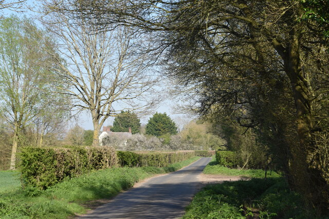
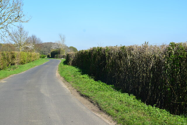
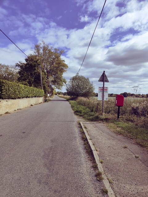
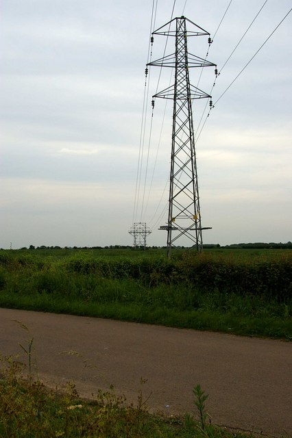
The surrounding natural beauty of Easthorpe provides ample opportunities for outdoor activities. The village is surrounded by rolling farmland and meadows, offering scenic walking and cycling routes for nature enthusiasts. The nearby River Chelmer also provides opportunities for boating and fishing.

Despite its tranquil setting, Easthorpe benefits from its proximity to larger towns and cities. The bustling town of Chelmsford, with its extensive range of shops, restaurants, and entertainment options, is easily accessible by road. Additionally, the village benefits from good transport links, with the A12 and A130 nearby, offering convenient access to London and other parts of Essex.

In conclusion, Easthorpe is a charming village in Essex, offering a peaceful and picturesque environment for its residents. With its close community spirit and stunning countryside surroundings, it appeals to those seeking a rural retreat while still enjoying the advantages of nearby urban amenities.

If you have any feedback on the listing, please let us know in the comments section below.
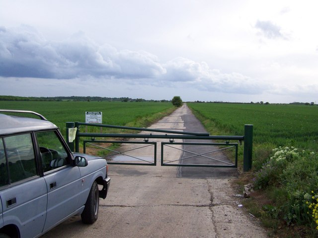
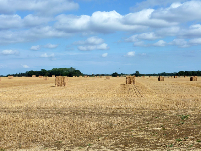
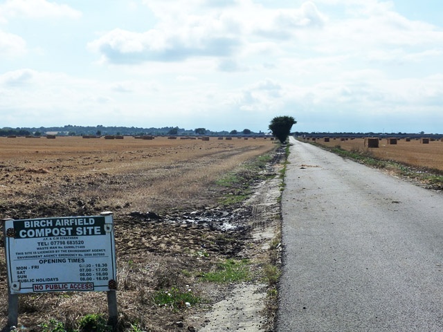
Easthorpe Images

Images are sourced within 2km of 51.86007/0.775719 or Grid Reference TL9121. Thanks to Geograph Open Source API. All images are credited.

Farmland between railway and A12
Ploughed field
Ploughed field
Beside a patch of woodland on Easthorpe Road Part of Cantfield's Farm farmhouse can be seen ahead.
Beside a patch of woodland on Easthorpe Road
Part of Cantfield's Farm farmhouse can be seen ahead.
Easthorpe Road A stretch of the road north east of Messing.
Easthorpe Road
A stretch of the road north east of Messing.
Easthorpe Road, Eastthorpe
Farmland between railway and A12
Footpath near Marks Tey Footpath crossing the London to Norwich railway line
Footpath near Marks Tey
Footpath crossing the London to Norwich railway line
View over to Badcock's Farm Looking north east towards Badcock's Farm near Marks Tey, Essex. This farm's part of a dead end road from Scottie's Farm.
View over to Badcock's Farm
Looking north east towards Badcock's Farm near Marks Tey, Essex. This farm's part of a dead end road from Scottie's Farm.
Underground Lines The 1940’s map shows this transmission line going underground at this point off Lodge Rd. It is almost certainly because of the construction of Birch Aerodrome that the area needed to be cleared of power lines. The cables reappear near Roundbush Corner see <a href="https://www.geograph.org.uk/photo/188431">TL9219 : Roundbush Not Evident</a>
Underground Lines
The 1940’s map shows this transmission line going underground at this point off Lodge Rd. It is almost certainly because of the construction of Birch Aerodrome that the area needed to be cleared of power lines. The cables reappear near Roundbush Corner see TL9219 : Roundbush Not Evident
View up disused wartime runway Looking along the disused wartime runway adjacent to Blind Lane
View up disused wartime runway
Looking along the disused wartime runway adjacent to Blind Lane
A12 descending to Domsey Brook The A12 is a 129 mile long trunk road from London to Great Yarmouth. It runs through Greater London, Essex, Suffolk and Norfolk. It passes by Brentwood, Colchester and Ipswich as well as passing through Lowestoft.
<span class="nowrap"><a title="http://www.sabre-roads.org.uk/wiki/index.php?title=A12" rel="nofollow ugc noopener" href="http://www.sabre-roads.org.uk/wiki/index.php?title=A12">Link</a><img style="margin-left:2px;" alt="External link" title="External link - shift click to open in new window" src="https://s1.geograph.org.uk/img/external.png" width="10" height="10"/></span> 
Wikipedia: <span class="nowrap"><a title="http://en.wikipedia.org/wiki/A12_road_(England)" rel="nofollow ugc noopener" href="http://en.wikipedia.org/wiki/A12_road_(England)">Link</a><img style="margin-left:2px;" alt="External link" title="External link - shift click to open in new window" src="https://s1.geograph.org.uk/img/external.png" width="10" height="10"/></span>
A12 descending to Domsey Brook
The A12 is a 129 mile long trunk road from London to Great Yarmouth. It runs through Greater London, Essex, Suffolk and Norfolk. It passes by Brentwood, Colchester and Ipswich as well as passing through Lowestoft. LinkExternal link Wikipedia: LinkExternal link
Track to Scottie's Farm Taken from Easthorpe Road.
Track to Scottie's Farm
Taken from Easthorpe Road.
Unusual pylon near Messing A fairly low voltage route using small conventional pylons goes underground here, to cross Birch Airfield (as was). The route appears above ground beyond the airfield using a similar pylon.
Unusual pylon near Messing
A fairly low voltage route using small conventional pylons goes underground here, to cross Birch Airfield (as was). The route appears above ground beyond the airfield using a similar pylon.
Harvested field, former RAF Birch Viewed from Blind Lane, which uses the course of runway 02/20. Birch church is just showing just left of centre.
Harvested field, former RAF Birch
Viewed from Blind Lane, which uses the course of runway 02/20. Birch church is just showing just left of centre.
Private road to Birch Airfield Compost Site This uses the course of runway 08/26. It is accessed through a barrier (just behind the camera) from Blind Lane, which uses the course of runway 02/20.
Private road to Birch Airfield Compost Site
This uses the course of runway 08/26. It is accessed through a barrier (just behind the camera) from Blind Lane, which uses the course of runway 02/20.
RADAR Spinney Birch Airfield The picture was taken looking east from Blind Lane (see <a href="https://www.geograph.org.uk/gridref/TL9119">TL9119</a>), which was one of the secondary runways of Birch Airfield south west of Colchester. From the name the stand of trees is clearly on the site of the airfield’s RADAR installation. Birch Airfield was built so late in the war it never became fully operational as a fighter or bomber station however it was attacked twice by the Luftwaffe. The history of Birch Airfield can be found at <span class="nowrap"><a title="http://www.bretonheath.me.uk/history/airfield.htm" rel="nofollow ugc noopener" href="http://www.bretonheath.me.uk/history/airfield.htm">Link</a><img style="margin-left:2px;" alt="External link" title="External link - shift click to open in new window" src="https://s1.geograph.org.uk/img/external.png" width="10" height="10"/></span> The picture clearly shows the modern road surface on top of the concrete runway.
RADAR Spinney Birch Airfield
The picture was taken looking east from Blind Lane (see TL9119), which was one of the secondary runways of Birch Airfield south west of Colchester. From the name the stand of trees is clearly on the site of the airfield’s RADAR installation. Birch Airfield was built so late in the war it never became fully operational as a fighter or bomber station however it was attacked twice by the Luftwaffe. The history of Birch Airfield can be found at LinkExternal link The picture clearly shows the modern road surface on top of the concrete runway.
Dispersal At Birch This is a picture of one of the dispersals at Birch Airfield South West of Colchester. Although never fully operational for combat aircraft the base was used for support, logistics and supply for other aerodromes particularly <a href="https://www.geograph.org.uk/photo/149989">TL8427 : Earls Colne Airfield</a> to the north (TL917306). Because of Its proximity to the unmistakable landmark of Abberton Reservoir <a href="https://www.geograph.org.uk/gridref/TL9516">TL9516</a> <a href="https://www.geograph.org.uk/gridref/TL9617">TL9617</a> it was used for emergency landings on a number of occasions by returning bombers.  To go to the next field in an alphabetical tour of Essex WW2 airfields go to <a href="https://www.geograph.org.uk/photo/269076">TL7412 : Boreham ATC</a>. Much information as gleaned from Graham Smith’s book “Essex Airfields In The Second World War”. <span class="nowrap"><a title="https://books.google.co.uk/books/about/Essex_Airfields_in_the_Second_World_War.html?id=u3atAAAACAAJ&redir_esc=y" rel="nofollow ugc noopener" href="https://books.google.co.uk/books/about/Essex_Airfields_in_the_Second_World_War.html?id=u3atAAAACAAJ&redir_esc=y">Link</a><img style="margin-left:2px;" alt="External link" title="External link - shift click to open in new window" src="https://s1.geograph.org.uk/img/external.png" width="10" height="10"/></span>
Dispersal At Birch
This is a picture of one of the dispersals at Birch Airfield South West of Colchester. Although never fully operational for combat aircraft the base was used for support, logistics and supply for other aerodromes particularly TL8427 : Earls Colne Airfield to the north (TL917306). Because of Its proximity to the unmistakable landmark of Abberton Reservoir TL9516 TL9617 it was used for emergency landings on a number of occasions by returning bombers. To go to the next field in an alphabetical tour of Essex WW2 airfields go to TL7412 : Boreham ATC. Much information as gleaned from Graham Smith’s book “Essex Airfields In The Second World War”. LinkExternal link
The House Without a Name Easthorpe This is a picture of Easthorpe Village looking east towards the Roman Easthorpe Road. The building with the question mark sign was a popular real ale pub in the late 1970’s and early 1980’s it was called “The House Without a Name” it closed for a time in the late 1990’s and reopened as a restaurant but it failed to thrive. It has now  turned into a B&B.
The House Without a Name Easthorpe
This is a picture of Easthorpe Village looking east towards the Roman Easthorpe Road. The building with the question mark sign was a popular real ale pub in the late 1970’s and early 1980’s it was called “The House Without a Name” it closed for a time in the late 1990’s and reopened as a restaurant but it failed to thrive. It has now turned into a B&B.
Show me another place!

Easthorpe is located at Grid Ref: TL9121 (Lat: 51.86007, Lng: 0.775719)

Administrative County: Essex

District: Colchester

Police Authority: Essex

What 3 Words

///quoted.slimy.blend. Near Marks Tey, Essex

Nearby Locations

Easthorpe

Related Wikis

Easthorpe, Essex

Easthorpe is a small village and former civil parish, now in the parish of Copford, in the Colchester district, in the county of Essex, England. Easthorpe...

Marks Tey

Marks Tey is a large village and electoral ward in Essex, England; it is located six miles west of Colchester. == Facilities == Marks Tey is one of a...

Copford Green

Copford Green is a hamlet within the civil parish of Copford and the district of Colchester in Essex, England. It is near the A12 and A120 roads, and is...

RAF Birch

Royal Air Force Birch or more simply RAF Birch is a former Royal Air Force station in Essex, England. The airfield is located 2 mi (3.2 km) northeast...

Hardy's Green

Hardy's Green is a hamlet in civil parish of Birch in the Colchester district, in the county of Essex, England. Nearby settlements include the large town...

St Andrew's Church, Marks Tey

St Andrew's Church is a Church of England parish church in the Essex village of Marks Tey. It was Grade I listed in 1965.Its nave was built around 1100...

Marks Tey railway station

Marks Tey railway station is on the Great Eastern Main Line (GEML) in the East of England, serving the large village of Marks Tey, Essex. It is 46 miles...
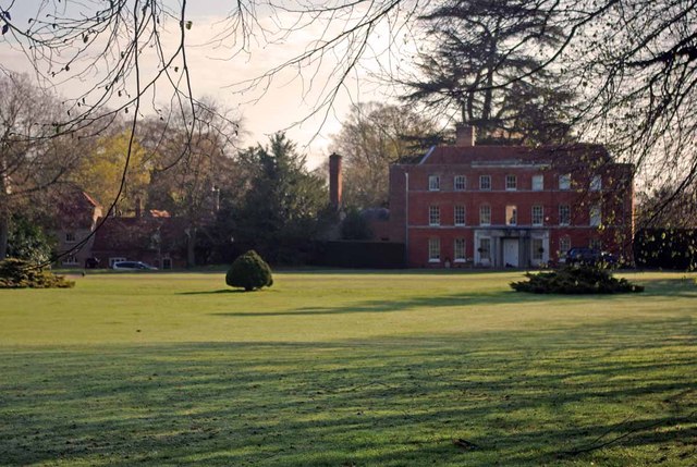
Copford Hall

Copford Hall is a manorial seat and Grade II listed country house, with gardens by Capability Brown, in the village of Copford, Essex, England, 46 miles...

Nearby Amenities

Located within 500m of 51.86007,0.775719
Easthorpe
Place: hamlet
Wikidata: Q2327581
Lat/Long: 51.8599201/0.7734395
Power: pole
Lat/Long: 51.8556238/0.7746188
Bus Stop
Well Lane
Naptan AtcoCode: 150014005301
Naptan BusStopType: CUS
Naptan NaptanCode: esxjpmgt
Naptan Verified: no
Public Transport: platform
Source: naptan
Lat/Long: 51.8590626/0.7759052
The data included in this document is from www.openstreetmap.org. The data is made available under ODbL.

Have you been to Easthorpe?

Leave your review of Easthorpe below (or comments, questions and feedback).