Lower Causeway Plantation
Wood, Forest in Yorkshire Scarborough
England
Lower Causeway Plantation

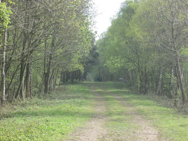
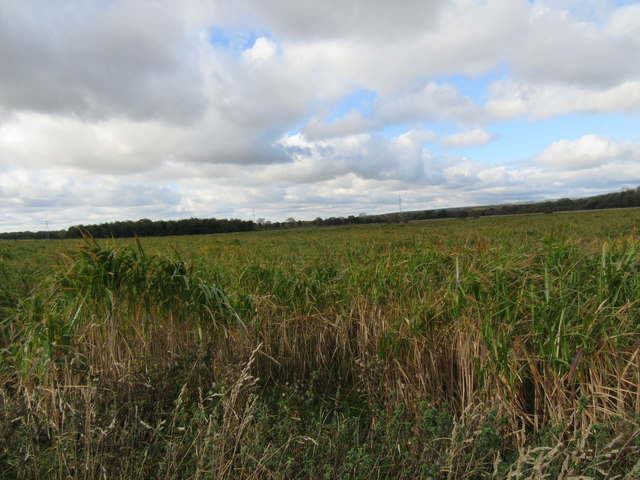
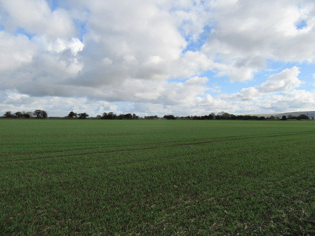
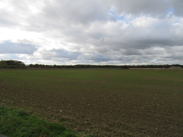
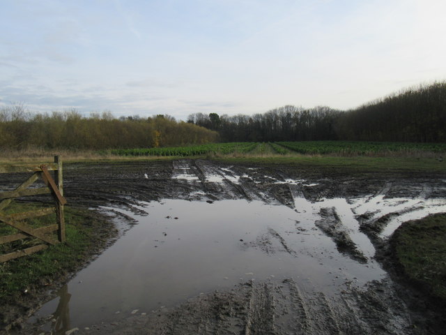
Lower Causeway Plantation, located in Yorkshire, is a picturesque woodland area known for its lush vegetation and serene atmosphere. Situated in the heart of the county, this plantation spans over a vast area and is part of the larger Yorkshire Forest.
The plantation is predominantly made up of deciduous trees, such as oak, beech, and birch, which create a beautiful canopy and provide a habitat for numerous flora and fauna species. The forest floor is adorned with a rich carpet of ferns, mosses, and wildflowers, adding to its natural charm.
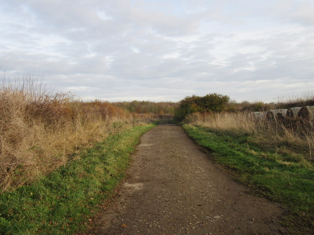
Lower Causeway Plantation is a popular destination for nature enthusiasts, hikers, and birdwatchers. Its diverse ecosystem attracts a wide range of bird species, including woodpeckers, owls, and various songbirds. Visitors may catch a glimpse of these feathered creatures while exploring the well-maintained trails that meander through the woodland.
The plantation offers a tranquil escape for those seeking solace in nature. The peaceful ambiance, coupled with the gentle rustling of leaves and the occasional chirping of birds, creates a serene environment perfect for relaxation and reflection. It is not uncommon to encounter small mammals like squirrels and rabbits scurrying about, further enhancing the enchanting atmosphere.
In addition to its natural beauty, Lower Causeway Plantation is also of historical significance. The plantation has been well-preserved for centuries and serves as a testament to the region's rich heritage. The surrounding area is dotted with remnants of ancient settlements, and the plantation itself has witnessed numerous historical events throughout the years.
Overall, Lower Causeway Plantation is a captivating destination that showcases the natural splendor of Yorkshire. Its diverse flora, abundant wildlife, and rich history make it an ideal spot for nature lovers and history enthusiasts alike.
If you have any feedback on the listing, please let us know in the comments section below.
Lower Causeway Plantation Images
Images are sourced within 2km of 54.219097/-0.49485284 or Grid Reference SE9881. Thanks to Geograph Open Source API. All images are credited.


Lower Causeway Plantation is located at Grid Ref: SE9881 (Lat: 54.219097, Lng: -0.49485284)
Division: North Riding
Administrative County: North Yorkshire
District: Scarborough
Police Authority: North Yorkshire
What 3 Words
///cookers.encrusted.lime. Near East Ayton, North Yorkshire
Nearby Locations
Related Wikis

Wykeham Priory
Wykeham Priory was a nunnery in Wykeham, North Yorkshire, England. It was established between 1140 and 1160 and was destroyed by fire during the reign...
Wykeham Abbey
Wykeham Abbey is a Grade II* listed country house in Wykeham, North Yorkshire, England. It has been the seat of the Viscounts Downe since the early 20th...

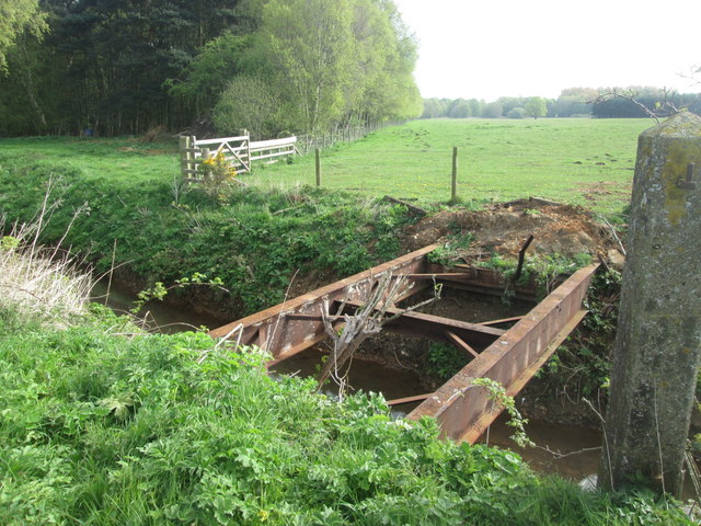
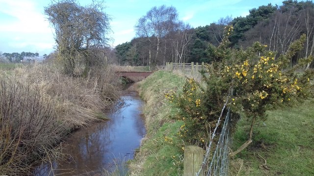
River Hertford
The River Hertford is a river in Yorkshire in the north of England. It is part of the River Derwent catchment area. The River Hertford starts close to...

Wykeham railway station
Wykeham railway station was situated on the North Eastern Railway's Pickering to Seamer branch line. It served the villages of Wykeham and Ruston in North...
Nearby Amenities
Located within 500m of 54.219097,-0.49485284Have you been to Lower Causeway Plantation?
Leave your review of Lower Causeway Plantation below (or comments, questions and feedback).