Abergarw
Settlement in Glamorgan
Wales
Abergarw

Abergarw is a small village located in the county of Glamorgan, Wales. Situated in the southern part of the country, it is nestled within the picturesque Garw Valley. Abergarw is known for its rural charm, beautiful landscapes, and rich history.
The village is home to a population of approximately 800 residents. It features a range of traditional stone-built cottages and modern houses, offering a mix of architectural styles. The area is surrounded by lush green fields and rolling hills, providing a tranquil and idyllic setting.
Abergarw has a close-knit community with a strong sense of local pride. The village is served by a primary school, a local church, and a community center, which hosts various events and activities throughout the year. The nearby town of Bridgend provides additional amenities and services for the residents.
Historically, Abergarw was a thriving coal mining community during the Industrial Revolution. However, the decline of the mining industry in the mid-20th century resulted in a shift towards agriculture and tourism as the main sources of income for the village.
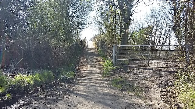
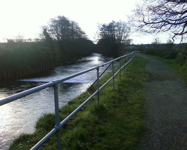
Nature enthusiasts are drawn to Abergarw for its stunning natural beauty and opportunities for outdoor activities. The Garw Valley offers numerous walking and cycling trails, allowing visitors to explore the scenic surroundings. The area is also known for its diverse wildlife, with several nature reserves and conservation areas nearby.
Overall, Abergarw offers a peaceful and picturesque village lifestyle, making it an attractive place to live or visit for those seeking a rural retreat in the heart of Glamorgan.
If you have any feedback on the listing, please let us know in the comments section below.
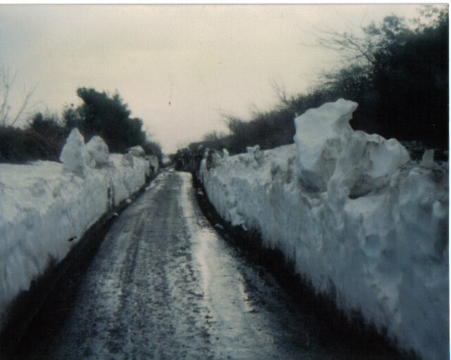
Abergarw Images
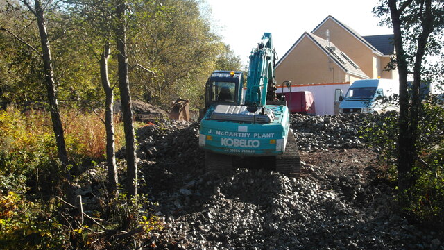
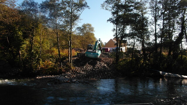
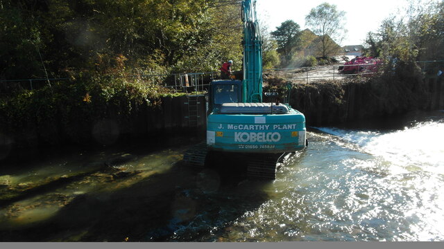
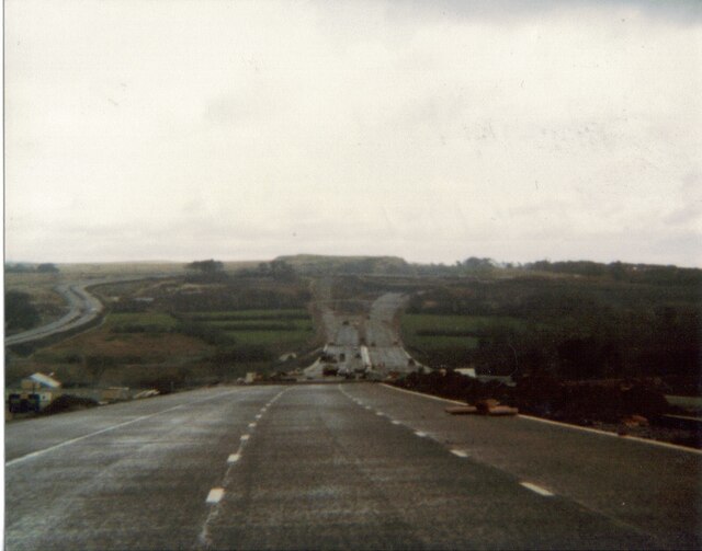
Images are sourced within 2km of 51.550892/-3.577116 or Grid Reference SS9084. Thanks to Geograph Open Source API. All images are credited.
Abergarw is located at Grid Ref: SS9084 (Lat: 51.550892, Lng: -3.577116)
Unitary Authority: Bridgend
Police Authority: South Wales
What 3 Words
///warthog.thudding.folk. Near Aberkenfig, Bridgend
Nearby Locations
Related Wikis

Brynmenyn
Brynmenyn is a small village located at the confluence of the Garw and Ogmore rivers in south Wales, around 4 miles north of Bridgend, and it also in the...
Abergarw
Abergarw is a village in Bridgend county. It lies at the confluence of the River Garw (Rough River) and River Ogwr river valleys, about 4 miles (6.4 km...

River Garw
The River Garw (Afon Garw in Welsh, meaning "rugged river") runs for about 12 miles from its source in the hills north of Blaengarw to the confluence with...
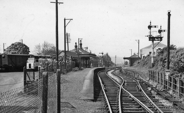
Brynmenyn railway station
Brynmenyn railway station served the village of Brynmenyn, in the historic county of Glamorgan, Wales, from 1873 to 1958 on the Garw Valley Railway....

Bryngarw Country Park
Bryngarw Country Park is made up of 48 hectares (120 acres) and is situated on the west bank of the Afon Garw, at the mouth of the Garw Valley in the Bridgend...
Ogmore School
Ogmore Comprehensive school, formerly known as Ogmore Grammar School, was a secondary school located in the Bridgend County Borough in Wales, UK. Ogmore...
Bryncethin
Bryncethin (which means dark hill or dun hill) is a small village and electoral ward in the County Borough of Bridgend, South Wales, located just north...
Ynysawdre Comprehensive School
Ynysawdre Comprehensive School was a public secondary school located in Tondu in Bridgend County Borough which catered for ages between 11 and 18. Beginning...
Nearby Amenities
Located within 500m of 51.550892,-3.577116Have you been to Abergarw?
Leave your review of Abergarw below (or comments, questions and feedback).