Barkhale Wood

Wood, Forest in Sussex Chichester

England

Barkhale Wood

View NW towards Bignor Hill I took this from the South Downs Way.
View NW towards Bignor Hill Credit: Ian Cunliffe

Barkhale Wood is a picturesque woodland located in the county of Sussex, England. Nestled amidst the scenic countryside, this woodland is a tranquil haven for nature enthusiasts and hikers alike. Covering an area of approximately 100 acres, Barkhale Wood is home to a diverse range of flora and fauna, making it a significant ecological site.

The woodland is characterized by its dense canopy of broad-leaved trees, predominantly consisting of oak, beech, and ash. These trees provide ample shade, creating a cool and refreshing atmosphere during the summer months. The forest floor is carpeted with a rich assortment of wildflowers, including bluebells, primroses, and wood anemones, which add vibrant splashes of color to the landscape.

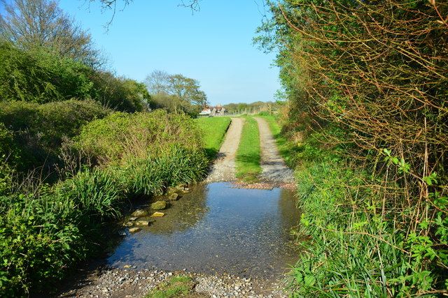
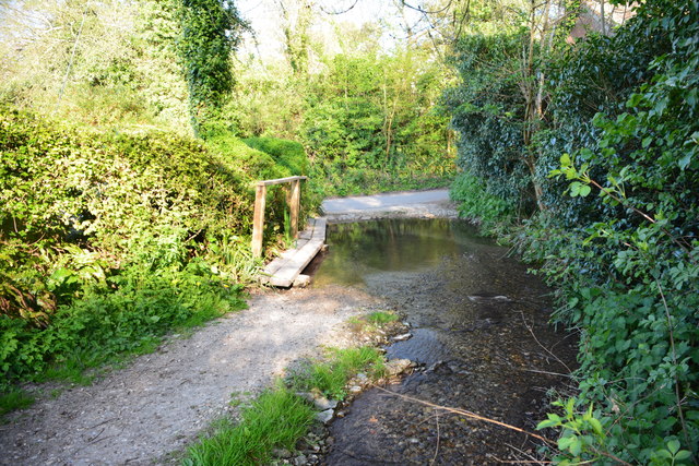
Barkhale Wood is intersected by several winding trails and footpaths, offering visitors the opportunity to explore its natural beauty. These paths provide a chance to observe the diverse wildlife that calls the woodland home, such as deer, foxes, and a plethora of bird species. Birdwatchers will be particularly delighted by the presence of species such as woodpeckers, nuthatches, and tawny owls.

Due to its unspoiled and secluded nature, Barkhale Wood serves as a peaceful retreat for those seeking solace in nature. Visitors can enjoy picnics, leisurely walks, or simply sit and soak in the tranquil ambiance. The wood is also a popular spot for photographers, who are drawn to its scenic vistas and captivating beauty.

Overall, Barkhale Wood is a hidden gem in Sussex, offering a serene and enchanting experience for all those who venture into its leafy depths.

If you have any feedback on the listing, please let us know in the comments section below.

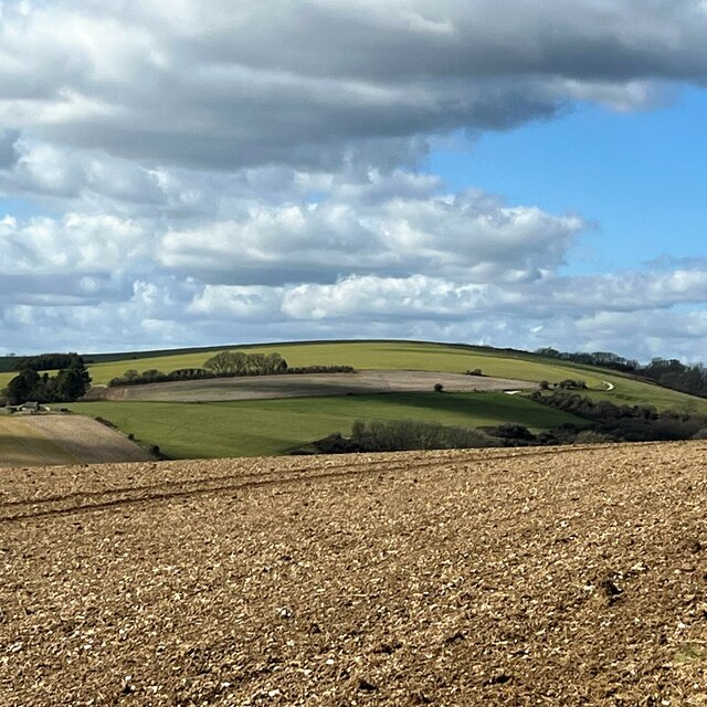
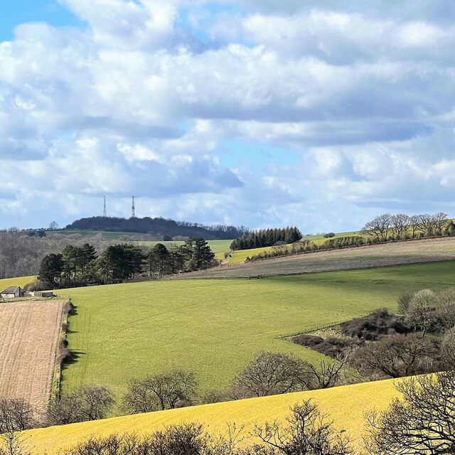
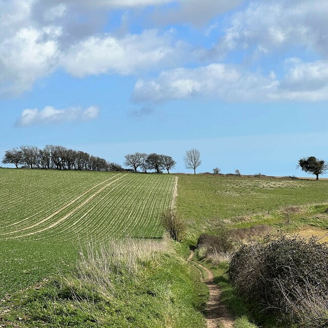
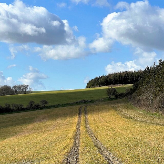
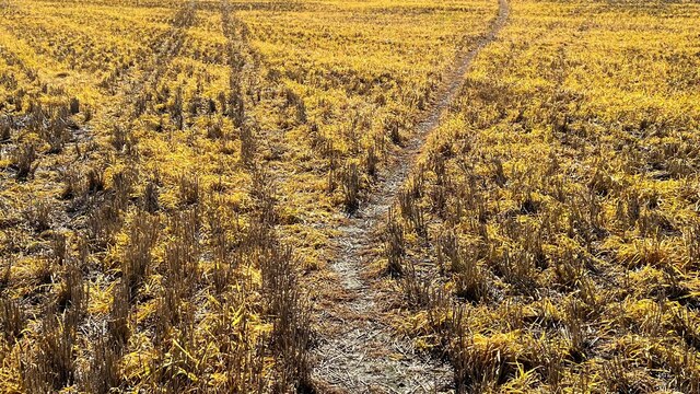
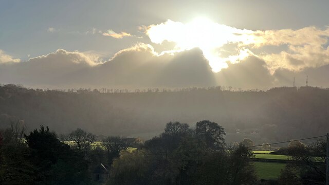
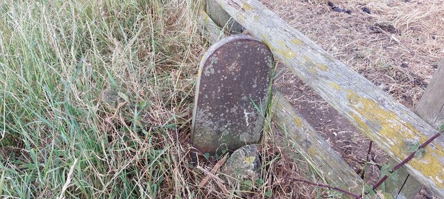
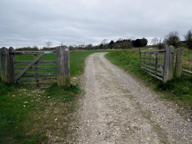
Barkhale Wood Images

Images are sourced within 2km of 50.904316/-0.60626681 or Grid Reference SU9812. Thanks to Geograph Open Source API. All images are credited.

View NW towards Bignor Hill I took this from the South Downs Way.
View NW towards Bignor Hill
I took this from the South Downs Way.
View WNW towards Glatting Beacon You can see the communications masts on Glatting Beacon. I took this photo from the South Downs Way.
View WNW towards Glatting Beacon
You can see the communications masts on Glatting Beacon. I took this photo from the South Downs Way.
View ESE towards Bury Hill I took this from the South Downs Way.
View ESE towards Bury Hill
I took this from the South Downs Way.
View WNW from a point west of King's Buildings I was a little south of the marked bridleway when I took this photo. It's difficult to find and follow the bridleway. An obvious track cuts across the field to the south of it - so I followed that.
View WNW from a point west of King's Buildings
I was a little south of the marked bridleway when I took this photo. It's difficult to find and follow the bridleway. An obvious track cuts across the field to the south of it - so I followed that.
Stubble - south of Bignor Hill car park
Sheep in the shade - near the neolithic camp
Phone box with defibrillator inside
Tracks in the stubble This vivid yellow stubble is common hereabouts. I'm not sure what the crop was.
Tracks in the stubble
This vivid yellow stubble is common hereabouts. I'm not sure what the crop was.
View SW towards Bignor Hill and Glatting Beacon
Old Boundary Marker on Bignor Hill Estate Boundary Marker beside a wooden fence and the South Downs Way close to Toby's Stone monument. F (vertical line) L in raised lettering on north face. On the boundary of Bignor and Bury parishes but reported as an estate boundary marker on the Slindon Estate by the National Trust. Not shown on OS maps before 1914. 

Milestone Society National ID: SX_BIGBUR01em
Old Boundary Marker on Bignor Hill
Estate Boundary Marker beside a wooden fence and the South Downs Way close to Toby's Stone monument. F (vertical line) L in raised lettering on north face. On the boundary of Bignor and Bury parishes but reported as an estate boundary marker on the Slindon Estate by the National Trust. Not shown on OS maps before 1914. Milestone Society National ID: SX_BIGBUR01em
South Downs Way climing Bignor Hill Public bridleway 2856.
South Downs Way climing Bignor Hill
Public bridleway 2856.
Track to Gumber Corner Public bridleway 2856/1.
Track to Gumber Corner
Public bridleway 2856/1.
Track to Glatting Beacon For a short distance the South Downs Way follows public bridleway 413 which then continues on to Upwaltham Hill.
Track to Glatting Beacon
For a short distance the South Downs Way follows public bridleway 413 which then continues on to Upwaltham Hill.
Glatting Farm Ford This bridleway ford is found in the entrance to Glatting Farm.
Glatting Farm Ford
This bridleway ford is found in the entrance to Glatting Farm.
Bignor Ford This ford is found close to Jay's Farm at Bignor.
Bignor Ford
This ford is found close to Jay's Farm at Bignor.
Heading towards Stane Street Heading towards Stane Street on a very muddy Bridleway.
Heading towards Stane Street
Heading towards Stane Street on a very muddy Bridleway.
Fields near to Stane Street Fields near to the Roaman Road looking in the direction of Gumber Farm.
Fields near to Stane Street
Fields near to the Roaman Road looking in the direction of Gumber Farm.
Stane Street The Roman Road Stane Street continues beyond the stile. The route is part of the Monarchs Way.
Stane Street
The Roman Road Stane Street continues beyond the stile. The route is part of the Monarchs Way.
Show me another place!

Barkhale Wood is located at Grid Ref: SU9812 (Lat: 50.904316, Lng: -0.60626681)

Administrative County: West Sussex

District: Chichester

Police Authority: Sussex

What 3 Words

///snuggled.banter.decades. Near Fontwell, West Sussex

Nearby Locations

Barkhale Wood

Related Wikis

Barkhale Camp

Barkhale Camp is a Neolithic causewayed enclosure, an archaeological site on Bignor Hill, on the South Downs in West Sussex, England. Causewayed enclosures...

Bignor Hill

Bignor Hill is a hill near Bignor in Sussex. The South Downs Way passes over the hill. Near the summit are the remains of a memorial to Toby Wentworth...

Bury Hill, Arundel

Bury Hill is an area of West Sussex, England, north of Arundel and southwest of Bury. In the 18th century, its name may have sometimes been spelled Berry...

Duncton to Bignor Escarpment

Duncton to Bignor Escarpment is a 229-hectare (570-acre) biological Site of Special Scientific Interest west of Pulborough in West Sussex. It is a Special...

Bignor

Bignor is a village and civil parish in the Chichester district of the English county of West Sussex, about six miles (9.7 km) north of Arundel. It is...

Bignor Roman Villa

Bignor Roman Villa is a large Roman courtyard villa which has been excavated and put on public display on the Bignor estate in the English county of West...

West Burton, West Sussex

West Burton is a small hamlet in the Parish of Bury and the Chichester district of West Sussex, England. It lies between Bignor and Bury on the Lower Greensand...

Dale Park

Dale Park was an English country house in Madehurst, West Sussex. == History == In 1780, Sir George Thomas, 3rd Baronet created Dale Park near Madehurst...

Have you been to Barkhale Wood?

Leave your review of Barkhale Wood below (or comments, questions and feedback).