Thunderdell Wood
Wood, Forest in Hertfordshire Dacorum
England
Thunderdell Wood
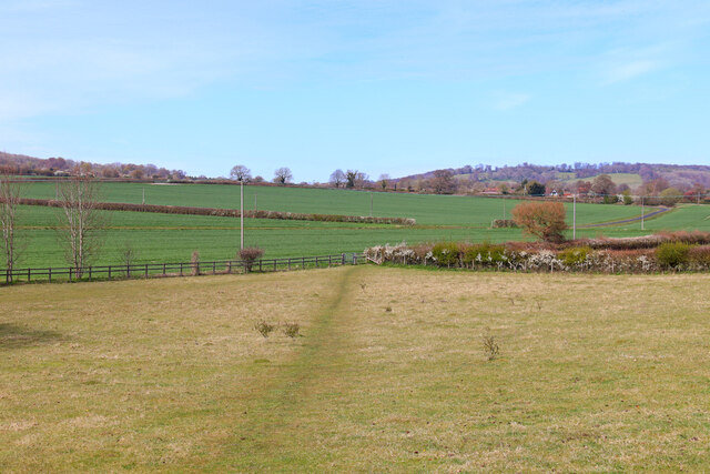
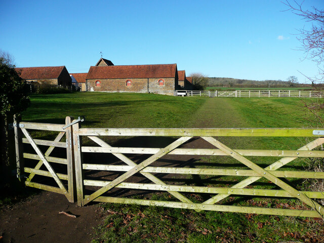
Thunderdell Wood is a captivating forest located in the county of Hertfordshire, England. Spread across an area of approximately 100 acres, this woodland is a haven for nature enthusiasts and those seeking solace amidst the beauty of the natural world.
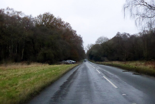
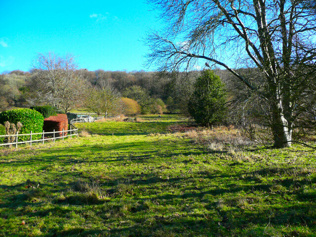
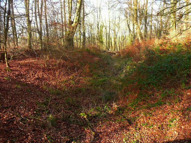
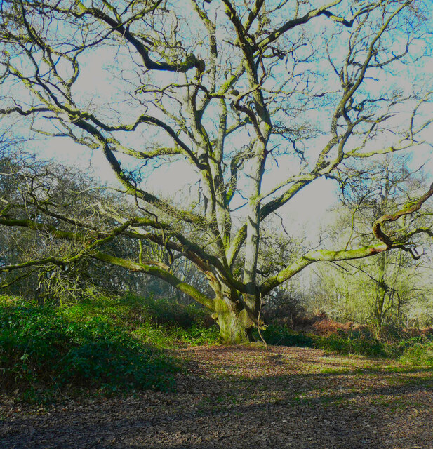
The wood is characterized by its dense canopy of towering trees, predominantly consisting of oak, beech, and birch. These majestic trees create a serene and tranquil atmosphere, providing a retreat from the hustle and bustle of everyday life. The forest floor is adorned with a rich carpet of ferns, moss, and wildflowers, further enhancing its enchanting ambiance.
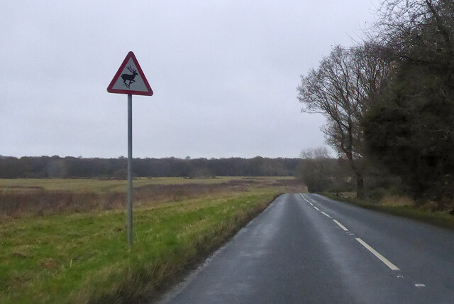
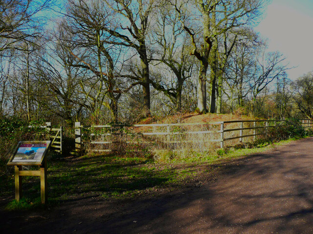
Several walking trails meander through Thunderdell Wood, allowing visitors to explore its hidden treasures. These well-maintained paths provide an opportunity to observe the diverse wildlife that calls this woodland home. Lucky visitors may catch a glimpse of roe deer, foxes, badgers, and a variety of bird species, including woodpeckers and owls.
The wood is also home to a small pond, attracting a myriad of aquatic species. This tranquil waterbody adds to the overall charm of Thunderdell Wood, providing a peaceful spot for reflection and contemplation.
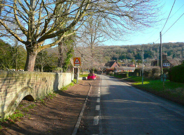
Thunderdell Wood is managed by the local authorities, ensuring its preservation and protection. It is a popular destination for nature walks, picnicking, and photography. Its accessibility and proximity to nearby towns make it a favorite spot for both locals and tourists alike.
Visiting Thunderdell Wood offers an opportunity to immerse oneself in the beauty of nature, providing a much-needed respite from the demands of modern life.
If you have any feedback on the listing, please let us know in the comments section below.
Thunderdell Wood Images
Images are sourced within 2km of 51.800086/-0.58038724 or Grid Reference SP9712. Thanks to Geograph Open Source API. All images are credited.
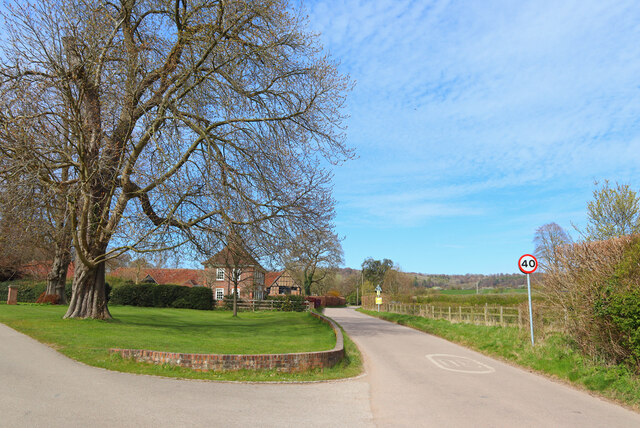
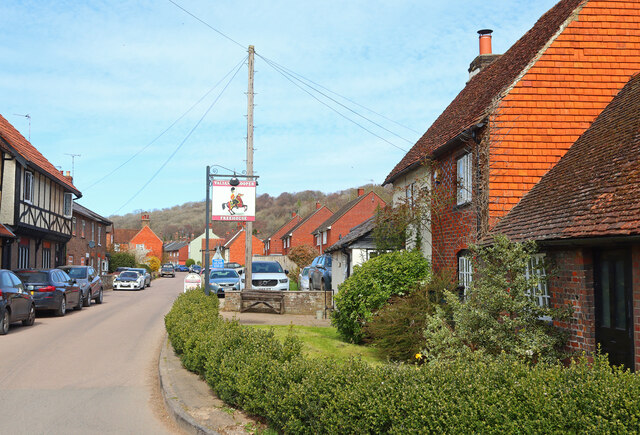
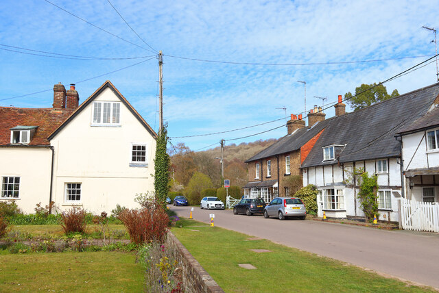
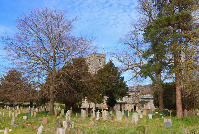


Thunderdell Wood is located at Grid Ref: SP9712 (Lat: 51.800086, Lng: -0.58038724)
Administrative County: Hertfordshire
District: Dacorum
Police Authority: Hertfordshire
What 3 Words
///sour.reporting.triangles. Near Berkhamsted, Hertfordshire
Nearby Locations
Related Wikis

1954 Aldbury Valetta accident
On 6 January 1954 WJ474 a twin-engined Vickers Valetta training aircraft of No. 2 Air Navigation School Royal Air Force crashed near RAF Bovingdon just...

Ashridge Golf Club
Ashridge Golf Club, also Ashridge Artisans Golf Club, is a golf club in Little Gaddesden, on the border of Hertfordshire and Bedfordshire, England, 2.5...
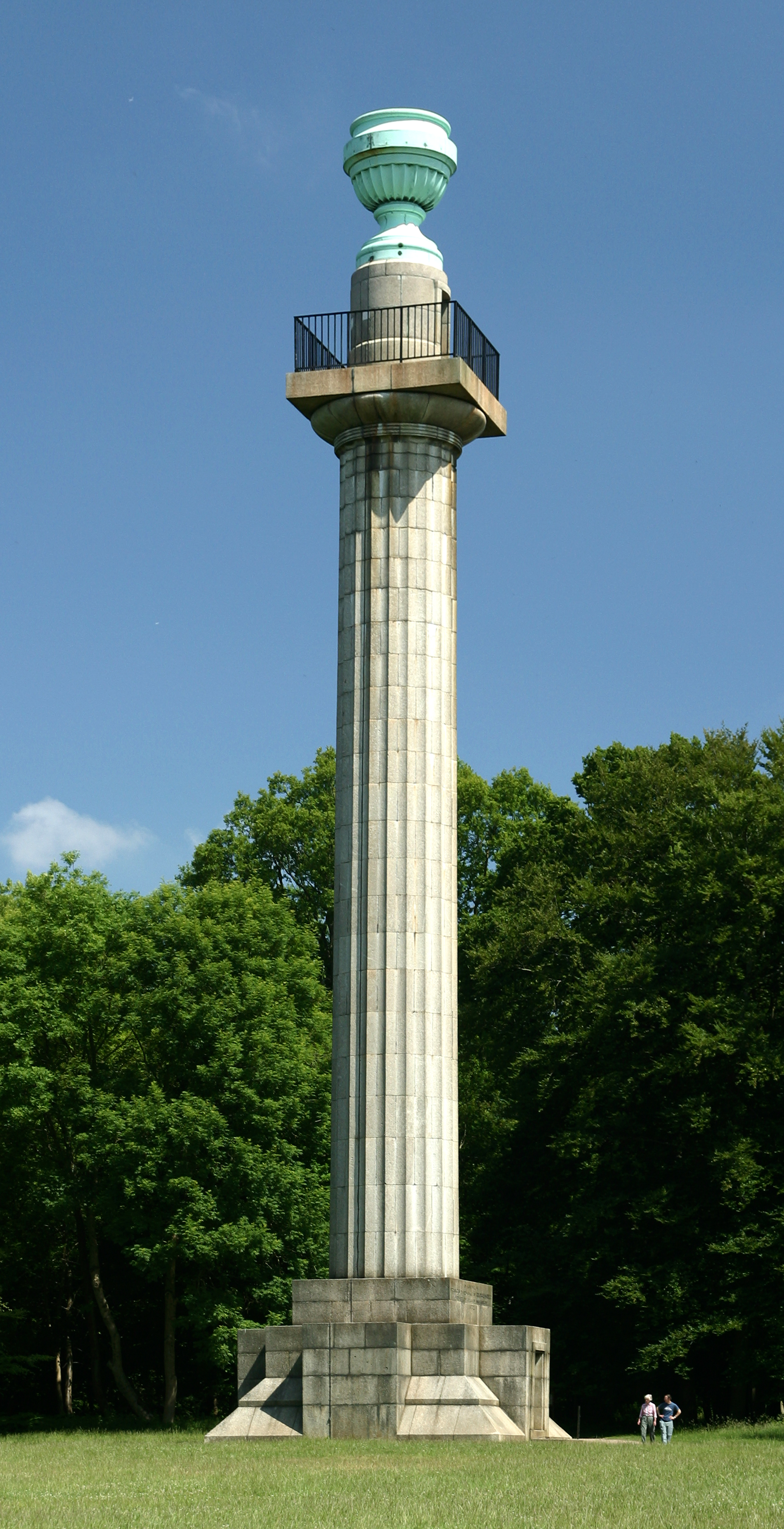
Bridgewater Monument
The Bridgewater Monument is a Grade II* listed monumental column in the Ashridge estate in Hertfordshire, England. It was built in 1832 to commemorate...

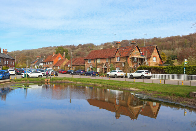
Aldbury
Aldbury () is a village and civil parish in Hertfordshire, England, near the borders of Buckinghamshire and Bedfordshire in the Bulbourne valley of the...
Nearby Amenities
Located within 500m of 51.800086,-0.58038724Have you been to Thunderdell Wood?
Leave your review of Thunderdell Wood below (or comments, questions and feedback).