Old Copse
Wood, Forest in Hertfordshire Dacorum
England
Old Copse
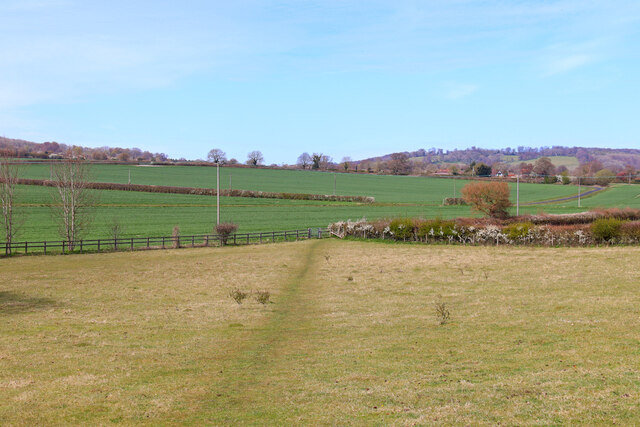
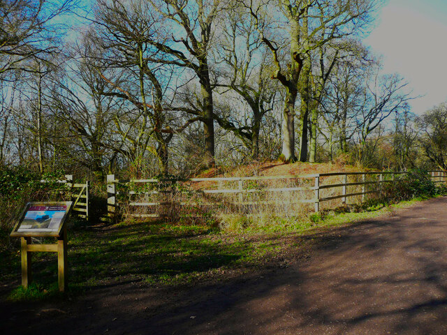
Old Copse is a picturesque woodland located in Hertfordshire, England. With its rich biodiversity and serene atmosphere, it has become a popular destination for nature lovers and outdoor enthusiasts. The woodland covers an area of approximately 100 acres, offering ample space for exploration and relaxation.
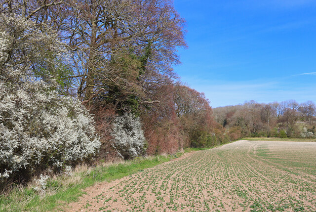
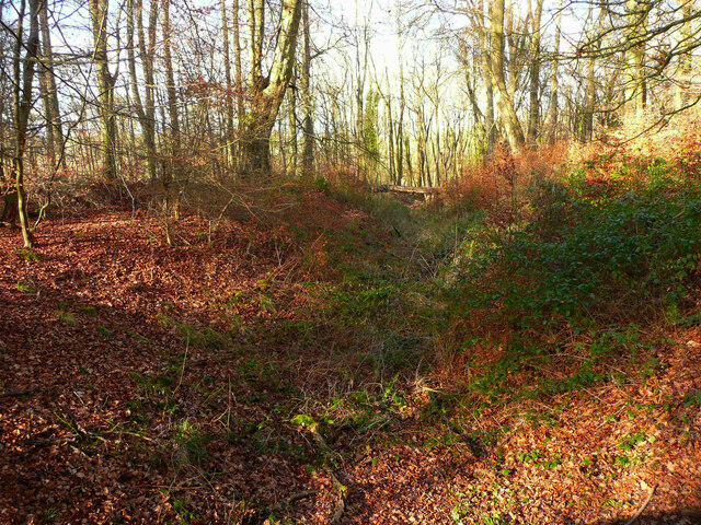
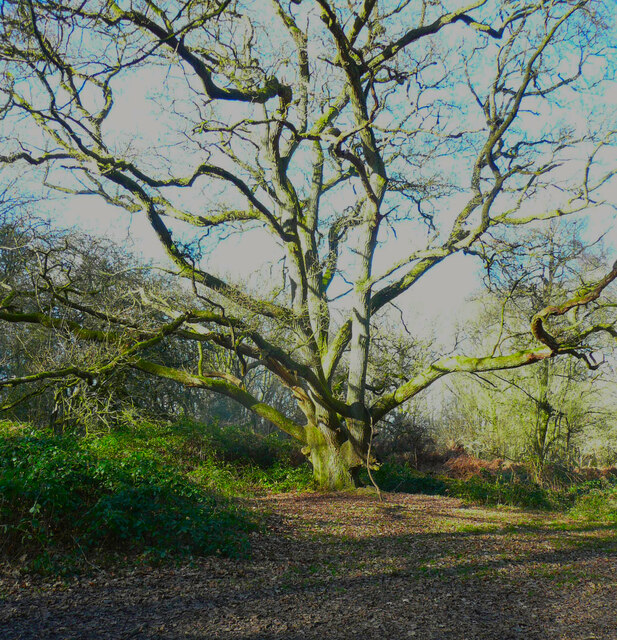
The forest is predominantly composed of native tree species such as oak, beech, and birch, which create a dense canopy that provides shade and shelter for a variety of wildlife. The forest floor is covered in a lush carpet of ferns, bluebells, and wildflowers during spring, creating a vibrant and colorful landscape.
Old Copse is home to a diverse range of wildlife. Birdwatchers can spot species such as woodpeckers, owls, and various songbirds, while foxes, badgers, and deer can be glimpsed by lucky visitors. The forest also houses a network of small streams and ponds, which support a thriving community of amphibians and insects.
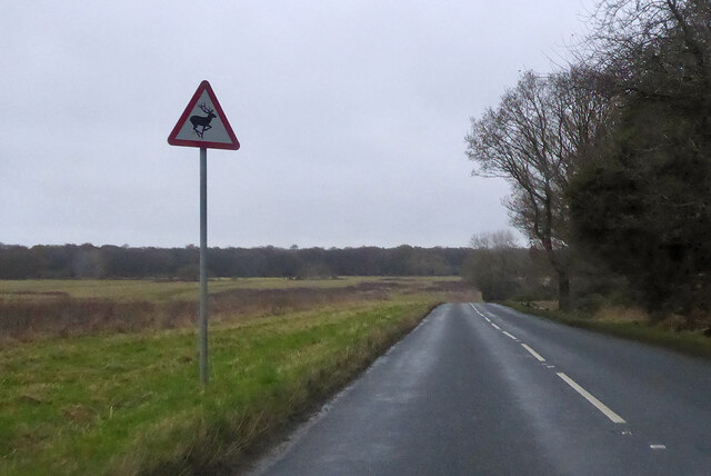
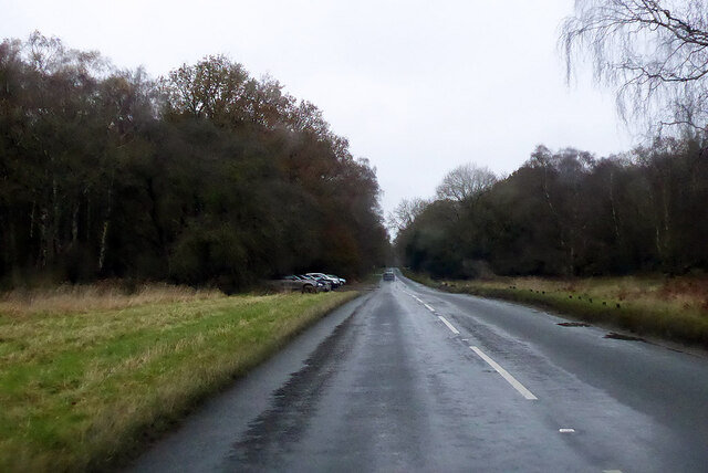
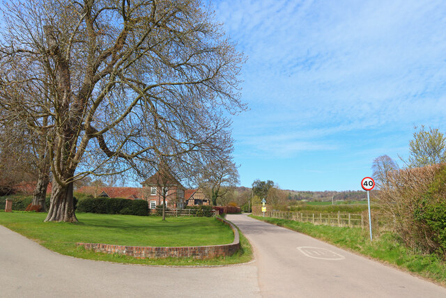
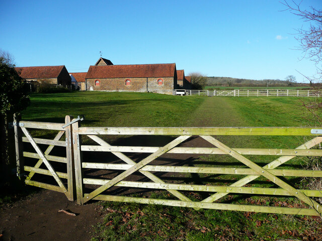
The woodland offers a network of well-maintained trails, enabling visitors to explore its beauty on foot or by bicycle. There are also designated picnic areas, allowing visitors to relax and enjoy a meal amidst the tranquil surroundings. Additionally, the forest is equipped with visitor facilities, including parking and restroom facilities.
Old Copse is not only a haven for wildlife but also serves as an important ecological site. Efforts have been made to preserve and protect the woodland, ensuring its longevity for future generations to enjoy. The forest serves as a reminder of the beauty and importance of nature in our modern world.
If you have any feedback on the listing, please let us know in the comments section below.
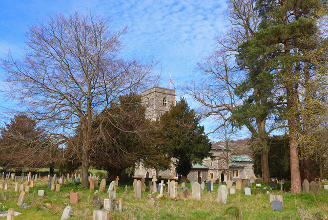
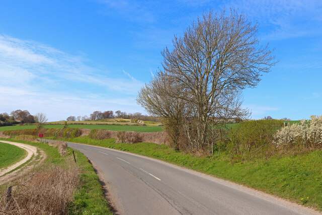
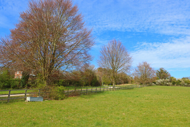
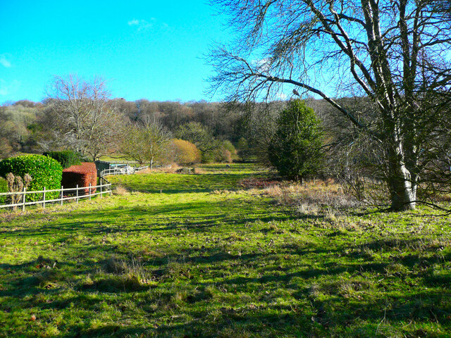
Old Copse Images
Images are sourced within 2km of 51.801446/-0.5924981 or Grid Reference SP9712. Thanks to Geograph Open Source API. All images are credited.
Old Copse is located at Grid Ref: SP9712 (Lat: 51.801446, Lng: -0.5924981)
Administrative County: Hertfordshire
District: Dacorum
Police Authority: Hertfordshire
What 3 Words
///upstarts.famines.winners. Near Tring, Hertfordshire
Nearby Locations
Related Wikis

1954 Aldbury Valetta accident
On 6 January 1954 WJ474 a twin-engined Vickers Valetta training aircraft of No. 2 Air Navigation School Royal Air Force crashed near RAF Bovingdon just...

Aldbury
Aldbury () is a village and civil parish in Hertfordshire, England, near the borders of Buckinghamshire and Bedfordshire in the Bulbourne valley of the...
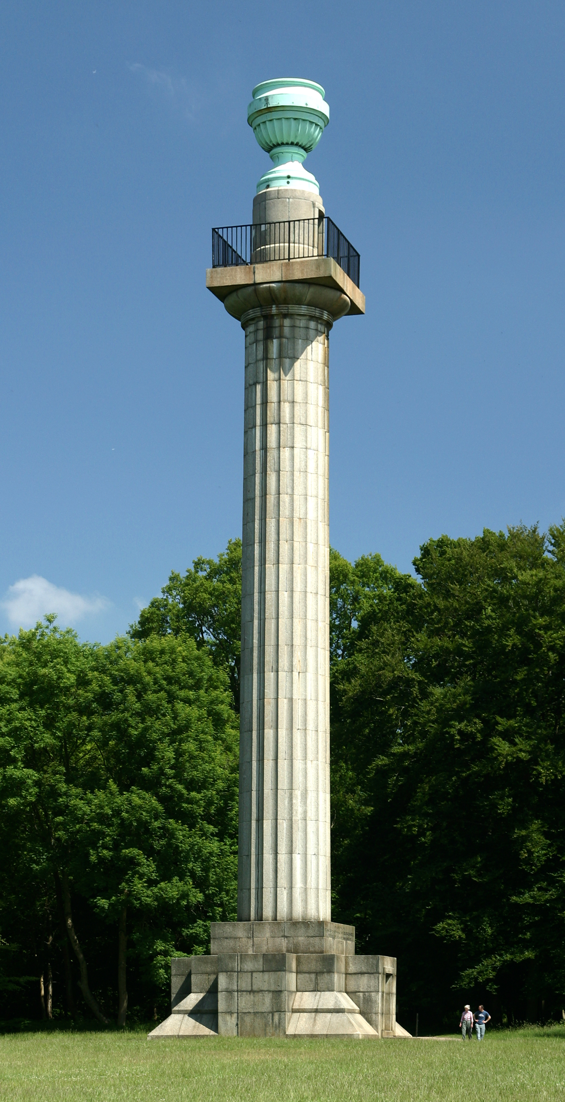
Bridgewater Monument
The Bridgewater Monument is a Grade II* listed monumental column in the Ashridge estate in Hertfordshire, England. It was built in 1832 to commemorate...

Barley End
Barley End is a hamlet within the parish of Pitstone(where the 2011 Census population was included) in Buckinghamshire, England.
Nearby Amenities
Located within 500m of 51.801446,-0.5924981Have you been to Old Copse?
Leave your review of Old Copse below (or comments, questions and feedback).