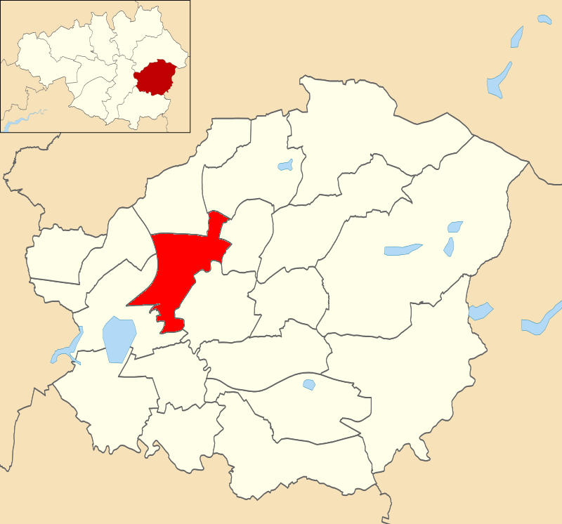
Ashton Moss

Settlement in Lancashire

England

Ashton Moss

Ashton West Tram stop The Metrolink lines and station are in the central reservation of the dual carriage way, Lord Sheldon Way
Ashton West Tram stop Credit: Kevin Waterhouse

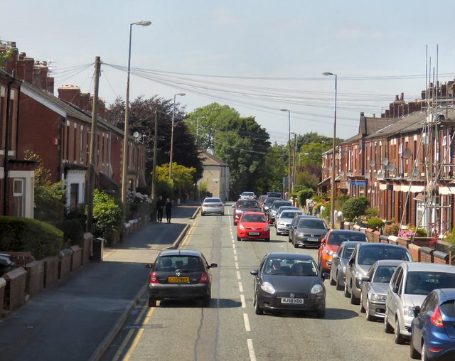
Ashton Moss is a small village located in Lancashire, England. Situated on the eastern edge of the Greater Manchester conurbation, it occupies an area of approximately 4 square miles. The village is known for its picturesque countryside and its proximity to several major cities, making it an attractive residential area for commuters.

The landscape of Ashton Moss is characterized by rolling hills, green fields, and scattered woodlands. It boasts a tranquil and idyllic setting, providing a peaceful escape from the bustling city life. The village is dotted with traditional stone-built houses, giving it a charming and rustic feel.

Despite its rural setting, Ashton Moss benefits from excellent transport links. The village is conveniently located near the M60 motorway, which connects it to Manchester, Bolton, and other nearby towns. Additionally, there are regular bus services that connect Ashton Moss to surrounding areas.

For amenities, Ashton Moss offers a range of local shops, cafes, and pubs, catering to the needs of its residents. The village also has a primary school, providing education for young children within the community.

Furthermore, Ashton Moss is surrounded by various attractions and recreational opportunities. The nearby countryside offers ample opportunities for outdoor activities such as hiking, cycling, and horseback riding. Additionally, there are several parks and nature reserves in the vicinity, providing residents with beautiful green spaces to enjoy.

In summary, Ashton Moss is a charming village in Lancashire, offering a peaceful rural setting within close proximity to major cities. With its picturesque landscapes and convenient transport links, it provides an ideal location for those seeking a balance between the tranquility of the countryside and the amenities of urban life.

If you have any feedback on the listing, please let us know in the comments section below.
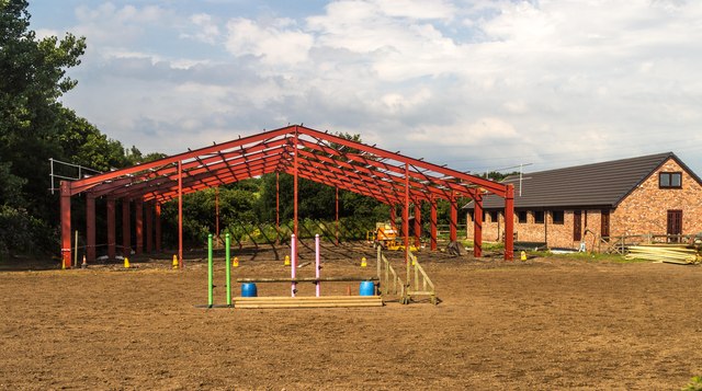
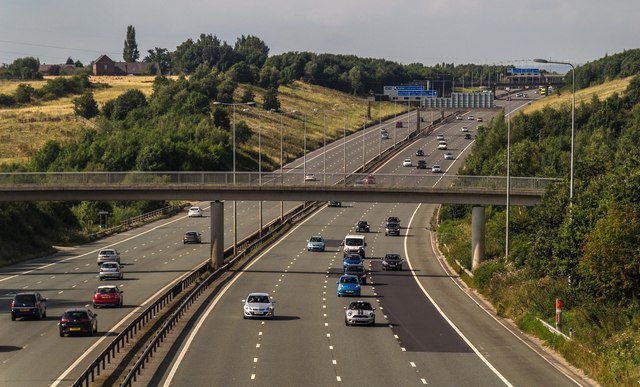
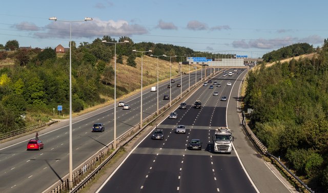
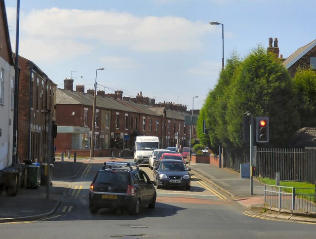
Ashton Moss Images

Images are sourced within 2km of 53.485667/-2.119776 or Grid Reference SJ9298. Thanks to Geograph Open Source API. All images are credited.

Ashton West Tram stop The Metrolink lines and station are in the central reservation of the dual carriage way, Lord Sheldon Way
Ashton West Tram stop
The Metrolink lines and station are in the central reservation of the dual carriage way, Lord Sheldon Way
Rayner Lane Approaching the junction with Moss Lane and the deviation of Rayner Lane around the M60 motorway which has severed the original line of the lane. With the metal fencing the landscape appears to be one of industrial dereliction rather than the market gardening of Ashton Moss.
Rayner Lane
Approaching the junction with Moss Lane and the deviation of Rayner Lane around the M60 motorway which has severed the original line of the lane. With the metal fencing the landscape appears to be one of industrial dereliction rather than the market gardening of Ashton Moss.
Pyramid Snooker Club 
On the A627 King Street.
Pyramid Snooker Club
On the A627 King Street.
Corner of Astley Street and King Street  

The junction of King Street (A627) and Astley Street (B6169). 

Streetview imagery shows the corner shop vacant and shuttered in 2009.  By 2011 it had became the Mirage Café with the Greek takeaway    Yamas next door.  By 2020 the corner premises had become Yassou a licensed Greek Café and Restaurant. In 2021 part of the building is open as Tom & Jerries offering milk shakes, desserts &c. In 2023 Yamas   moved into Tom & Jerries and the former Yamas is now occupied by an Indian takeaway called Megna Spice. Now  Yassou has gone and been replaced by the Kurdis(h) Airlines Barber Shop.
Corner of Astley Street and King Street
The junction of King Street (A627) and Astley Street (B6169). Streetview imagery shows the corner shop vacant and shuttered in 2009. By 2011 it had became the Mirage Café with the Greek takeaway Yamas next door. By 2020 the corner premises had become Yassou a licensed Greek Café and Restaurant. In 2021 part of the building is open as Tom & Jerries offering milk shakes, desserts &c. In 2023 Yamas moved into Tom & Jerries and the former Yamas is now occupied by an Indian takeaway called Megna Spice. Now Yassou has gone and been replaced by the Kurdis(h) Airlines Barber Shop.
Auto Battery Service I haven't been able to discover anything about the history of this building at 100-102 King Street. It appears to date from 1902 <a href="https://www.geograph.org.uk/photo/7685973">SJ9398 : 1902 and a coat of arms</a> and above #102 are the coat of arms of Dukinfield Borough Council <a href="https://www.geograph.org.uk/photo/7685923">SJ9398 : Dukinfield Borough Council Coat of Arms</a> with the motto INTEGRITY.
Auto Battery Service
I haven't been able to discover anything about the history of this building at 100-102 King Street. It appears to date from 1902 SJ9398 : 1902 and a coat of arms and above #102 are the coat of arms of Dukinfield Borough Council SJ9398 : Dukinfield Borough Council Coat of Arms with the motto INTEGRITY.
Dukinfield Borough Council Coat of Arms The coat of arms of Dukinfield Borough Council is displayed above 102 King Street <a href="https://www.geograph.org.uk/photo/7685898">SJ9398 : Auto Battery Service</a>.

Quarterly azure and argent, a cross pointed and voided quarterly of the last and sable, between in the first quarter a raven close, and in the fourth a garb, both or. Crest — Out of a crown palisade or, a cubit arm vested azure, cuffed argent, the hand proper, holding an escutcheon of the second charged with the sun in his splendour of the first, between two ostrich feathers of the third. — Motto — " Integrity." [Granted, College of Arms, 24th March 1900.] These arms are based on those of the Dukinfield family, and a "docken " is a local name for a raven. <span class="nowrap"><a title="https://drawshield.net/reference/public-arms/d/dukinfield.html" rel="nofollow ugc noopener" href="https://drawshield.net/reference/public-arms/d/dukinfield.html">Link</a><img style="margin-left:2px;" alt="External link" title="External link - shift click to open in new window" src="https://s1.geograph.org.uk/img/external.png" width="10" height="10"/></span>
Dukinfield Borough Council Coat of Arms
The coat of arms of Dukinfield Borough Council is displayed above 102 King Street SJ9398 : Auto Battery Service. Quarterly azure and argent, a cross pointed and voided quarterly of the last and sable, between in the first quarter a raven close, and in the fourth a garb, both or. Crest — Out of a crown palisade or, a cubit arm vested azure, cuffed argent, the hand proper, holding an escutcheon of the second charged with the sun in his splendour of the first, between two ostrich feathers of the third. — Motto — " Integrity." [Granted, College of Arms, 24th March 1900.] These arms are based on those of the Dukinfield family, and a "docken " is a local name for a raven. LinkExternal link
The Stables New building at The Stables.
The Stables
New building at The Stables.
M60 M60 Motorway.
M60
M60 Motorway.
M60 M60 crossing the River Medlock.
M60
M60 crossing the River Medlock.
Newmarket Road At the junction with Oldham Road.
Newmarket Road
At the junction with Oldham Road.
Newmarket Road A busy road connecting Waterloo to Littlemoss.
Newmarket Road
A busy road connecting Waterloo to Littlemoss.
Stannybrook Road from Daisy Nook Garden Centre exit
Woodhouse Green and Failsworth from the air The M60 motorway dominates the scene.
Woodhouse Green and Failsworth from the air
The M60 motorway dominates the scene.
Hollinwood Branch Canal path at Daisy Nook Country Park, near Failsworth
View N along M60 from footbridge at Littlemoss (N of Jct 23)
The Stables
The Stables
Site of the old bus station The bus station has moved slightly three times in the last 25 years. This was the middle site, and the new interchange can be seen to the right. The Arcades shopping centre is behind.
Site of the old bus station
The bus station has moved slightly three times in the last 25 years. This was the middle site, and the new interchange can be seen to the right. The Arcades shopping centre is behind.
Tow path crossing on the Ashton Canal
Show me another place!

Ashton Moss is located at Grid Ref: SJ9298 (Lat: 53.485667, Lng: -2.119776)

Unitary Authority: Tameside

Police Authority: Greater Manchester

What 3 Words

///target.factories.atoms. Near Ashton-under-Lyne, Manchester

Nearby Locations

Ashton Moss

Related Wikis

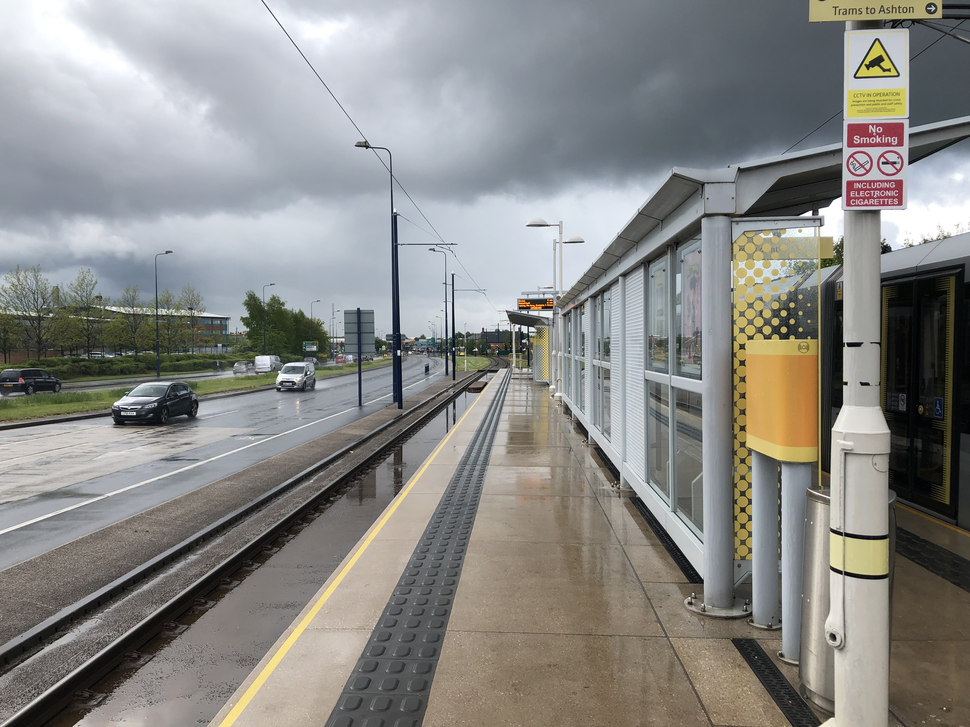
Ashton Moss tram stop

Ashton Moss is a tram stop on the East Manchester Line, built as part of Phase 3b of the Manchester Metrolink. The station opened on 9 October 2013, ahead...

Ashton Moss railway station

Ashton Moss Railway Station was a short lived station on the Oldham, Ashton and Guide Bridge Railway (OA&GB) that served the town of Ashton-under-Lyne...

Greatest Hits Radio Manchester & The North West

Greatest Hits Radio Manchester & The North West is an Independent Local Radio station based in Manchester, England, owned and operated by Bauer as part...

Ashton West tram stop

Ashton West is a tram stop on the East Manchester Line (EML) of Greater Manchester's light-rail Metrolink system. It was built as part of Phase 3b of the...

Curzon Ashton F.C.

Curzon Ashton Football Club is an association football club based in Ashton-under-Lyne, Greater Manchester, England. Founded in 1963 and nicknamed "The...

Ryecroft, Greater Manchester

Ryecroft is an area of Ashton-under-Lyne, a town in Greater Manchester, England. It occupies a western area of Ashton. Originally a farm held by Robert...

St Peter's Church, Ashton-under-Lyne

St Peter's Church is in Manchester Road, Ashton-under-Lyne, Greater Manchester, England. It is an active Anglican parish church in the deanery of Ashton...

St. Peters (ward)

St. Peters is an electoral ward of Tameside, England. It is represented in Westminster by Angela Rayner Labour MP for Ashton-under-Lyne. == Councillors... ==

Nearby Amenities

Located within 500m of 53.485667,-2.119776
Motorway Junction
Snipe Interchange
Ref: 23
Lat/Long: 53.4875882/-2.1158645
Traffic Signals
Lat/Long: 53.4820988/-2.1156085
Traffic Signals
Lat/Long: 53.482429/-2.1150822
Crossing Barrier: no
Crossing Bell: no
Crossing Light: no
Railway: level_crossing
Lat/Long: 53.4881051/-2.1140366
Traffic Signals
Source: bing
Lat/Long: 53.4816092/-2.1172374
Bus Stop
Ashton Moss, Lord Sheldon Way (Stop A)
Bus: yes
Local Ref: A
Naptan AtcoCode: 1800EH14431
Naptan Bearing: NE
Naptan CommonName: Lord Sheldon Way/Garden Centre
Naptan Indicator: Garden Centre
Naptan Landmark: GARDEN CENTRE
Naptan NaptanCode: mantmwpj
Naptan Notes: NEW STOP
Naptan ShortCommonName: Garden Centre
Naptan Street: Lord Sheldon Way
Naptan Verified: no
Network: TfGM
Operator: TfGM
Public Transport: platform
Ref: A
Shelter: no
Source: naptan_import
Lat/Long: 53.4819276/-2.1230546
Mini Roundabout
Lat/Long: 53.4847535/-2.1219149
Ashton Moss
Network: Manchester Metrolink
Network Wikidata: Q18548
Operator: Transport for Greater Manchester
Operator Wikidata: Q7834921
Public Transport: stop_position
Railway: tram_stop
Start Date: November 2013
Tram: yes
Zone: 3
Lat/Long: 53.4836517/-2.1218574
Crossing Barrier: no
Crossing Bell: no
Crossing Light: no
Railway: level_crossing
Lat/Long: 53.4874594/-2.1145502
Traffic Signals
Lat/Long: 53.4822877/-2.1153035
Traffic Signals
Source: bing
Lat/Long: 53.4815003/-2.117663
Traffic Signals
Source: bing
Lat/Long: 53.4815587/-2.1177183
Traffic Signals
Source: bing
Lat/Long: 53.481538/-2.1171839
Traffic Signals
Traffic Signals: signal
Lat/Long: 53.4874887/-2.1148851
Speed Camera
Lat/Long: 53.4812663/-2.1183113
Traffic Signals
Lat/Long: 53.4841099/-2.1206919
Traffic Signals
Lat/Long: 53.4841249/-2.1212267
Traffic Signals
Lat/Long: 53.4843783/-2.1206273
Entrance: main
Lat/Long: 53.4823414/-2.1236275
Entrance: exit
Lat/Long: 53.4823414/-2.1237831
Bicycle Parking
Lat/Long: 53.48458/-2.1213691
Crossing
Bicycle: yes
Button Operated: yes
Crossing: traffic_signals
Kerb: lowered
Lat/Long: 53.4816985/-2.117827
Pub
Ash Tree Farm
Addr City: Ashton-under-Lyne
Addr Country: GB
Addr Postcode: OL7 0LY
Addr Street: Pamir Drive
Cuisine: pub
Fhrs Id: 764550
Source Addr: FHRS Open Data
Lat/Long: 53.4867343/-2.1125519
Crossing Barrier: no
Crossing Bell: no
Crossing Light: no
Railway: level_crossing
Lat/Long: 53.488106/-2.1140951
Crossing Barrier: no
Crossing Bell: no
Crossing Light: no
Railway: level_crossing
Lat/Long: 53.4874953/-2.1145954
Crossing Barrier: no
Railway: crossing
Lat/Long: 53.4832109/-2.1224083
Crossing Barrier: no
Railway: crossing
Lat/Long: 53.4831763/-2.122305
Traffic Signals
Lat/Long: 53.4840343/-2.1207496
Charging Station
Capacity: 4
Operator: GMev
Lat/Long: 53.4850321/-2.1207519
Crossing
Crossing: marked
Lat/Long: 53.4875103/-2.1148313
Crossing Barrier: no
Crossing Bell: no
Crossing Light: no
Railway: level_crossing
Lat/Long: 53.4874716/-2.1146589
Crossing Barrier: no
Crossing Bell: no
Crossing Light: no
Railway: level_crossing
Lat/Long: 53.4874331/-2.1146303
Crossing
Crossing: marked
Lat/Long: 53.487331/-2.1146754
Ashton Moss
Network: Manchester Metrolink
Network Wikidata: Q18548
Operator: Transport for Greater Manchester
Operator Wikidata: Q7834921
Public Transport: stop_position
Railway: tram_stop
Start Date: November 2013
Tram: yes
Zone: 3
Lat/Long: 53.4836855/-2.1219616
Traffic Signals
Lat/Long: 53.4843462/-2.120488
Traffic Signals
Lat/Long: 53.4844795/-2.1213722
Bus Stop
Ashton Moss, Lord Sheldon Way / Ashton Moss Metrolink Stop (Stop D)
Bus: yes
Local Ref: D
Naptan AtcoCode: 1800EH06001
Naptan Bearing: NE
Naptan Landmark: OFFICE DEPOT
Naptan NaptanCode: MANTDTWA
Naptan Street: Lord Sheldon Wy
Network: TfGM
Operator: TfGM
Public Transport: platform
Ref: D
Lat/Long: 53.4851472/-2.1202922
Bus Stop
Ashton Moss, Lord Sheldon Way / Ashton Moss Metrolink Stop (Stop E)
Bus: yes
Local Ref: E
Naptan AtcoCode: 1800EH05991
Naptan Bearing: SW
Naptan Landmark: OFFICE DEPOT
Naptan NaptanCode: MANTDTPW
Naptan Street: Lord Sheldon Wy
Network: TfGM
Operator: TfGM
Public Transport: platform
Ref: E
Lat/Long: 53.4853402/-2.119564
Entrance: yes
Wheelchair: yes
Lat/Long: 53.4865184/-2.114018
Crossing
Crossing: uncontrolled
Lat/Long: 53.4868746/-2.1128823
Traffic Signals
Traffic Signals: signal
Lat/Long: 53.4874176/-2.1144769
Traffic Signals
Traffic Signals: crossing
Lat/Long: 53.4873459/-2.1145798
Traffic Signals
Traffic Signals: signal
Lat/Long: 53.4880848/-2.1142281
The data included in this document is from www.openstreetmap.org. The data is made available under ODbL.

Have you been to Ashton Moss?

Leave your review of Ashton Moss below (or comments, questions and feedback).