Madehurst Wood
Wood, Forest in Sussex Arun
England
Madehurst Wood

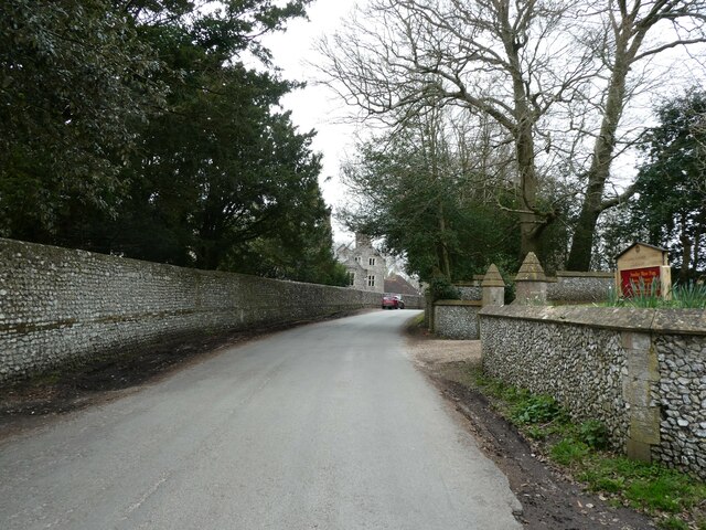
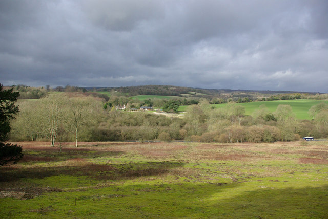
Madehurst Wood is a picturesque woodland located in the county of Sussex, England. It covers an area of approximately 200 acres and is situated on the western edge of the South Downs National Park. This ancient woodland is known for its diverse flora and fauna, making it a popular destination for nature lovers and outdoor enthusiasts.
The woodland is predominantly composed of a mixture of broadleaf trees, including oak, beech, and ash. These towering trees provide a dense canopy, creating a shaded and tranquil environment. The forest floor is covered with an array of wildflowers, such as bluebells and primroses, which bloom in vibrant colors during the spring months.
Madehurst Wood is home to a variety of wildlife, including deer, foxes, and badgers. Birdwatchers will also be delighted to spot a range of species, including woodpeckers, owls, and warblers. The woodland's diverse ecosystem provides a valuable habitat for these creatures, allowing them to thrive in a natural environment.
Visitors to Madehurst Wood can explore numerous footpaths and trails, which offer stunning views of the surrounding countryside. The woodland is also intersected by a small stream, adding to its idyllic charm. In addition to its natural beauty, the wood has historical significance, with evidence of human activity dating back to the Bronze Age.
Madehurst Wood is a haven for those seeking peace and tranquility in nature. Its rich biodiversity, scenic beauty, and historical significance make it a must-visit destination for anyone visiting Sussex.
If you have any feedback on the listing, please let us know in the comments section below.
Madehurst Wood Images
Images are sourced within 2km of 50.867622/-0.61132615 or Grid Reference SU9708. Thanks to Geograph Open Source API. All images are credited.
Madehurst Wood is located at Grid Ref: SU9708 (Lat: 50.867622, Lng: -0.61132615)
Administrative County: West Sussex
District: Arun
Police Authority: Sussex
What 3 Words
///drifting.refrain.dentures. Near Walberton, West Sussex
Nearby Locations
Related Wikis
A27 road
The A27 is a major road in England. It runs from its junction with the A36 at Whiteparish (near Salisbury) in the county of Wiltshire, follows the south...
Fairmile Bottom
Fairmile Bottom is a 70.2-hectare (173-acre) biological Site of Special Scientific Interest north-west of Arundel in West Sussex. An area of 61.3 hectares...
Slindon
Slindon is a mostly rural village and civil parish in the Arun District of West Sussex, England, containing a developed nucleus amid woodland. Much of...
Madehurst
Madehurst is a small village and civil parish in the Arun District of West Sussex, England on the south slopes of the South Downs in the South Downs National...
Dale Park
Dale Park was an English country house in Madehurst, West Sussex. == History == In 1780, Sir George Thomas, 3rd Baronet created Dale Park near Madehurst...
Fontwell (electoral division)
Fontwell is an electoral division of West Sussex in the United Kingdom and returns one member to sit on West Sussex County Council. The current County...
Nore Folly
Nore Folly (also known as Slindon Folly) is a stone construction located near the village of Slindon, West Sussex, United Kingdom. The folly resembles...
Walberton
Walberton is a village and civil parish in the Arun District of West Sussex, England, 5 miles (8 km) north-west of Littlehampton, and south of the A27...
Related Videos
Slindon Folly in Sussex, England, UK.
A walk with the crazy pack of hounds up to Nores Folly on The Slindon Estate in sunny Sussex.
Nore Hill Folly @ Clifford Cox out and about.
The Forge Hill Hike. The village and countryside.
Char cloth and bread
a piece of fabric made from a plant based fibre such as cotton, that has been converted via pyrolysis into a slow-burning fuel with ...
Slindon
Travel through slindon between Arundel West Sussex on the A29 close to South Downs car problem while waiting for rescue ...
Nearby Amenities
Located within 500m of 50.867622,-0.61132615Have you been to Madehurst Wood?
Leave your review of Madehurst Wood below (or comments, questions and feedback).


