Brickyard Plantation
Wood, Forest in Lincolnshire North Kesteven
England
Brickyard Plantation

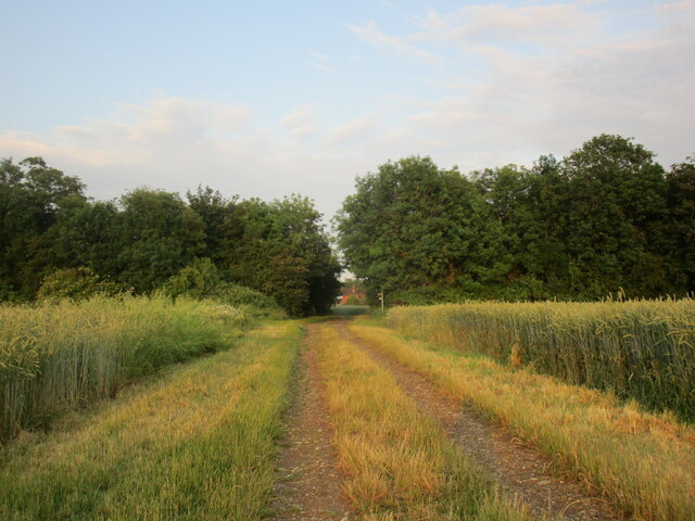
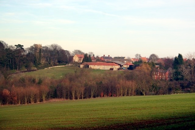
Brickyard Plantation, located in Lincolnshire, is a picturesque woodland area renowned for its natural beauty and rich history. Covering an expansive area, this woodland is a part of the larger Brickyard Plantation estate, which has been in existence for several centuries.
The woodland is characterized by a diverse range of tree species, including oak, birch, and beech, creating a lush and vibrant environment. The dense canopy provides a haven for various wildlife species, such as deer, rabbits, and a variety of bird species, making it a popular destination for nature enthusiasts and birdwatchers.
The woodland also features a network of well-maintained walking trails, allowing visitors to explore its natural wonders and enjoy peaceful strolls amidst the tranquil surroundings. Along these trails, one can find informative signposts providing insights into the historical significance of the area.
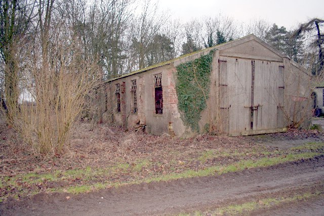
Brickyard Plantation has a rich history dating back to the medieval period when it was primarily used for timber production and farming. Over the years, it has witnessed various developments and has been carefully preserved to retain its natural charm.
Today, Brickyard Plantation is a protected area, recognized for its ecological importance and cultural value. It serves as both a recreational space for locals and a site of interest for researchers and historians. Whether one seeks tranquility, natural beauty, or an opportunity to delve into history, Brickyard Plantation in Lincolnshire offers a truly enriching experience.
If you have any feedback on the listing, please let us know in the comments section below.
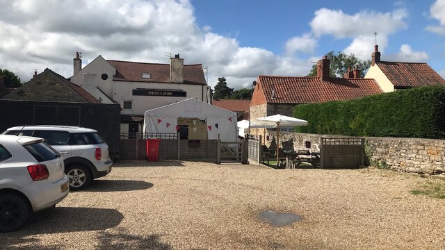
Brickyard Plantation Images
Images are sourced within 2km of 53.084965/-0.54365682 or Grid Reference SK9755. Thanks to Geograph Open Source API. All images are credited.


Brickyard Plantation is located at Grid Ref: SK9755 (Lat: 53.084965, Lng: -0.54365682)
Administrative County: Lincolnshire
District: North Kesteven
Police Authority: Lincolnshire
What 3 Words
///pronouns.locals.hopefully. Near Navenby, Lincolnshire
Nearby Locations
Related Wikis
RAF Wellingore
Royal Air Force Wellingore or more simply RAF Wellingore is a former Royal Air Force fighter relief landing ground located 1.9 miles (3.1 km) south of...

Welbourn
Welbourn is a village and civil parish in the North Kesteven district of Lincolnshire, England. The population of the civil parish at the 2011 census was...

Wellingore
Wellingore is a village and civil parish in the North Kesteven district of Lincolnshire, England. The population of the civil parish at the 2011 census...

Sir William Robertson Academy
Sir William Robertson Academy (formerly Sir William Robertson High School) is a coeducational secondary school of around 1000 pupils, situated in Welbourn...
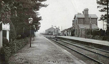
Navenby railway station
Navenby railway station was a railway station in Navenby, Lincolnshire on the Grantham and Lincoln railway line. The station closed for passengers in...
Navenby
Navenby is a village and civil parish in the North Kesteven district of Lincolnshire, England. Lying 8 miles (13 km) south from Lincoln and 9 miles (14...
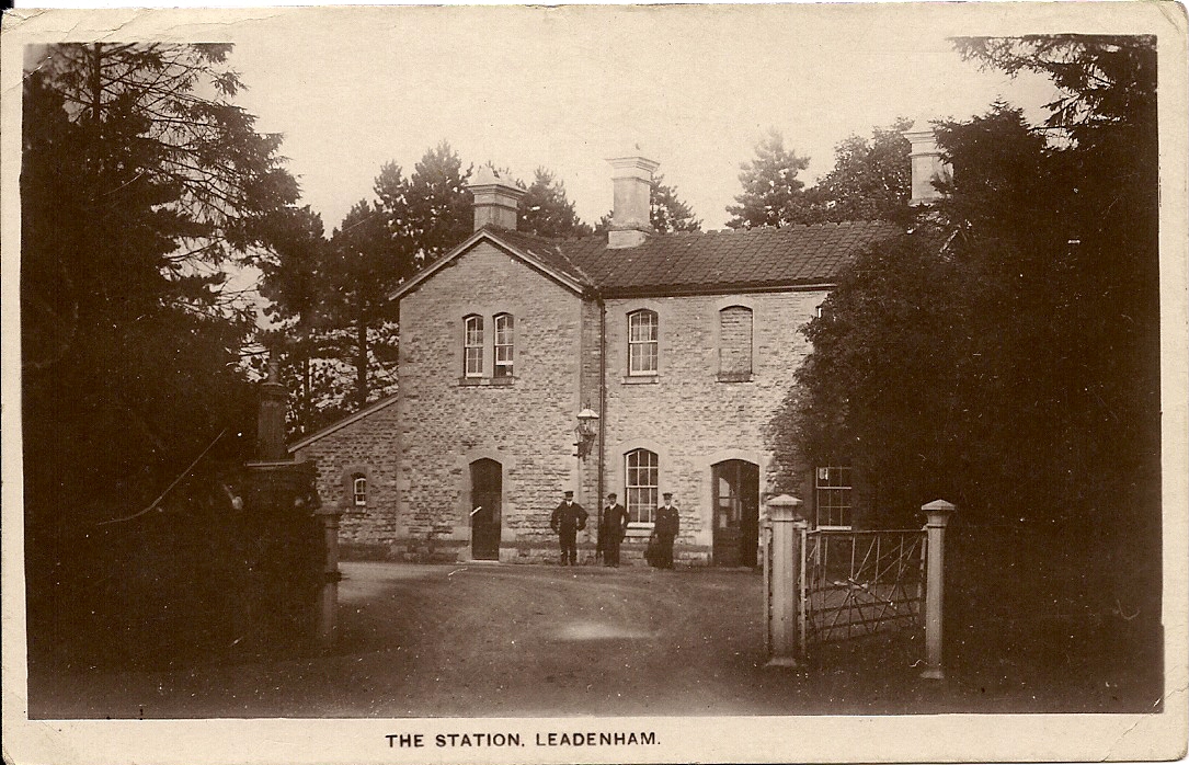
Leadenham railway station
Leadenham railway station was a railway station in Leadenham, Lincolnshire. It closed on 1 November 1965. The station was located on Main Road, being built...
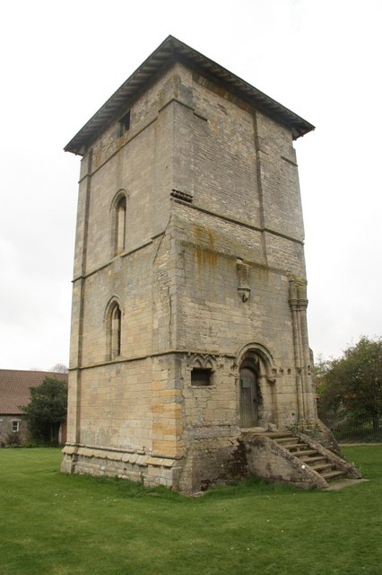
Temple Bruer Preceptory
Temple Bruer Preceptory is a historic building in the civil parish of Temple Bruer with Temple High Grange, North Kesteven, Lincolnshire, England. It...
Nearby Amenities
Located within 500m of 53.084965,-0.54365682Have you been to Brickyard Plantation?
Leave your review of Brickyard Plantation below (or comments, questions and feedback).