Fisherlane Hanger

Wood, Forest in Surrey Waverley

England

Fisherlane Hanger

December sky at dusk This day had the earliest sunset of the year.
December sky at dusk Credit: Shazz

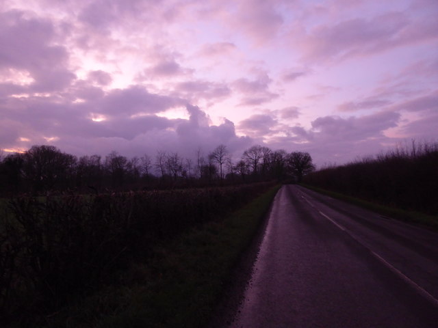
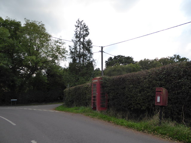
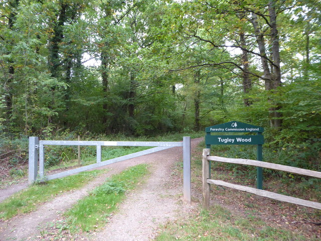
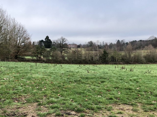
Fisherlane Hanger is a picturesque woodland area located in Surrey, England. Situated in the southern part of the county, it covers an extensive area of wood and forest, offering a serene and tranquil environment for visitors.

The hanger is known for its diverse range of tree species, including oak, beech, and ash, which create a dense canopy overhead. The woodland floor is covered with a variety of flora, such as bluebells, wild garlic, and ferns, adding to the beautiful natural scenery.

The hanger is a haven for wildlife, with many species calling it home. Visitors may spot deer, foxes, squirrels, and a wide variety of bird species, including woodpeckers and owls. The area is also home to several rare and protected species, such as the hazel dormouse and the purple emperor butterfly.

The hanger offers a network of well-maintained walking trails, allowing visitors to explore the woodland at their own pace. These trails wind through the trees, providing glimpses of stunning vistas and peaceful glades along the way. The hanger is a popular destination for nature enthusiasts, hikers, and families seeking a break from the hustle and bustle of everyday life.

Overall, Fisherlane Hanger in Surrey is a captivating woodland area, teeming with natural beauty and wildlife. Its serene atmosphere and well-maintained trails make it an ideal destination for those seeking a peaceful retreat in the heart of nature.

If you have any feedback on the listing, please let us know in the comments section below.

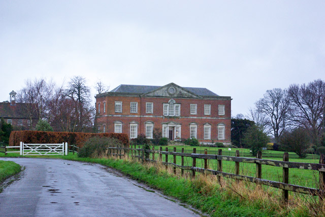
Fisherlane Hanger Images

Images are sourced within 2km of 51.091521/-0.60717327 or Grid Reference SU9733. Thanks to Geograph Open Source API. All images are credited.

December sky at dusk This day had the earliest sunset of the year.
December sky at dusk
This day had the earliest sunset of the year.
2016: a year on Geograph (Day 287) Approaching the junction of Plaistow Road and Fisher Lane
2016: a year on Geograph (Day 287)
Approaching the junction of Plaistow Road and Fisher Lane
Exploring eastwards along the Bashire (6) Looking from Shillinglee Park Road into Pickhurst Road
Running total: 25 B points
Exploring eastwards along the Bashire (6)
Looking from Shillinglee Park Road into Pickhurst Road Running total: 25 B points
Exploring eastwards along the Bashire (7) Footpath sign opposite Robin Farm Racing Stables
Exploring eastwards along the Bashire (7)
Footpath sign opposite Robin Farm Racing Stables
Exploring eastwards along the Bashire (8) Entrance to Tugley Wood
Running total: 27 B points
Exploring eastwards along the Bashire (8)
Entrance to Tugley Wood Running total: 27 B points
Exploring eastwards along the Bashire (9) Looking south-southwest down Plaistow Road
Running total: 28 B points
Exploring eastwards along the Bashire (9)
Looking south-southwest down Plaistow Road Running total: 28 B points
Converted stables and barn, Shillinglee Early 18th century, grade II listed.
Converted stables and barn, Shillinglee
Early 18th century, grade II listed.
House, Shillinglee Park A grade II*(star) listed building from 1735 and 1770s. Gutted by fire 1943, restored and converted to flats in the 1970s.
House, Shillinglee Park
A grade II*(star) listed building from 1735 and 1770s. Gutted by fire 1943, restored and converted to flats in the 1970s.
Warco House near Chiddingfold Warco make engineering tools <span class="nowrap"><a title="https://www.warco.co.uk/" rel="nofollow ugc noopener" href="https://www.warco.co.uk/">Link</a><img style="margin-left:2px;" alt="External link" title="External link - shift click to open in new window" src="https://s1.geograph.org.uk/img/external.png" width="10" height="10"/></span>
Warco House near Chiddingfold
Warco make engineering tools LinkExternal link
Warco House near Chiddingfold Making engineering tools <span class="nowrap"><a title="https://www.warco.co.uk/" rel="nofollow ugc noopener" href="https://www.warco.co.uk/">Link</a><img style="margin-left:2px;" alt="External link" title="External link - shift click to open in new window" src="https://s1.geograph.org.uk/img/external.png" width="10" height="10"/></span>
Warco House near Chiddingfold
Making engineering tools LinkExternal link
Fisher Lane south of Chiddingfold
Pickhurst Road, Chiddingfold
Fisher Lane
Fisher Lane
Durfold Wood
Durfold Wood
Shillinglee Park A view across the grid square of the distant house at Shillinglee Park. The view is from part of the once large country estate.
Shillinglee Park
A view across the grid square of the distant house at Shillinglee Park. The view is from part of the once large country estate.
Properties on Shillinglee Road Viewed from the roadside near The Old Forge.
Properties on Shillinglee Road
Viewed from the roadside near The Old Forge.
The Old Forge Viewed from the Shillinglee Road near Shillinglee Park.
The Old Forge
Viewed from the Shillinglee Road near Shillinglee Park.
North Pound Cottages Viewed from the Shillinglee Road.
North Pound Cottages
Viewed from the Shillinglee Road.
Show me another place!

Fisherlane Hanger is located at Grid Ref: SU9733 (Lat: 51.091521, Lng: -0.60717327)

Administrative County: Surrey

District: Waverley

Police Authority: Surrey

What 3 Words

///steepest.configure.sushi. Near Chiddingfold, Surrey

Nearby Locations

Fisherlane Hanger

Related Wikis

The Farm (recording studio)

The Farm (also known as Fisher Lane Farm) was a recording studio in Chiddingfold, Surrey owned by the rock band Genesis. The group bought the property...

Shillinglee

Shillinglee is an 18th-century house and estate in West Sussex, England near the Surrey border, in between the villages of Chiddingfold and Plaistow. It...

Pickhurst

Pickhurst is a grade II* listed house set in 130 acres (53 ha) of land near Chiddingfold, Surrey, England. == History == It was designed by the Scottish...

Chiddingfold Forest

Chiddingfold Forest is a 542.5-hectare (1,341-acre) biological Site of Special Scientific Interest in Chiddingfold in Surrey and West Sussex. One part...

Shillinglee Lake

Shillinglee Lake is a 17-hectare (42-acre) biological Site of Special Scientific Interest west of Plaistow in West Sussex.The lake has been designated...

Chiddingfold

Chiddingfold is a village and civil parish in the Weald in the Waverley district of Surrey, England. It lies on the A283 road between Milford and Petworth...

Ramster

Ramster Garden is an open garden, near Chiddingfold, Surrey, covering over 20 acres (81,000 m2). First landscaped and laid out in the 1890s by Gauntlett...

St Teresa of Avila Church, Chiddingfold

St Teresa of Avila Church is a Roman Catholic Parish church in Chiddingfold, Surrey. It is situated on the corner of Petworth Road and Woodside Road in...

Nearby Amenities

Located within 500m of 51.091521,-0.60717327
Fisher Lane Farm
Landuse: farm
Note Retag: CS #48756035
Lat/Long: 51.089195/-0.6108817
Post Box
Ref: GU8 59
Lat/Long: 51.0871993/-0.6060754
Barrier: stile
Lat/Long: 51.0894312/-0.611567
Barrier: stile
Lat/Long: 51.0911881/-0.6116287
The data included in this document is from www.openstreetmap.org. The data is made available under ODbL.

Have you been to Fisherlane Hanger?

Leave your review of Fisherlane Hanger below (or comments, questions and feedback).