Eastfield

Settlement in Roxburghshire

Scotland

Eastfield

A drinking fountain at Midlem Village The fountain has been painted since this photo was taken <a href="https://www.geograph.org.uk/photo/961088">NT5227 : Midlem Village from the well</a>.
A drinking fountain at Midlem Village Credit: Walter Baxter

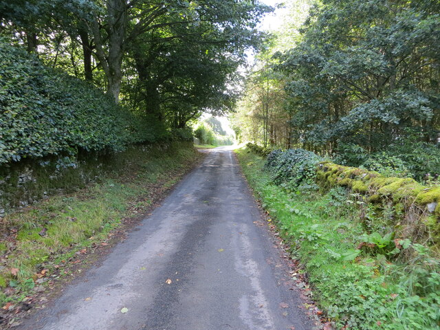
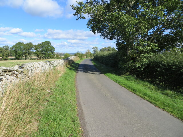
Eastfield is a small village located in the county of Roxburghshire, Scotland. Situated in the southeastern part of the country, it lies on the A6089 road, approximately 2 miles north of the town of Kelso. The village is surrounded by picturesque countryside, characterized by rolling hills and lush green fields.

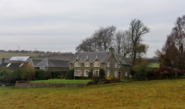
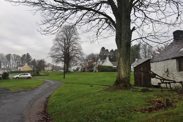
Eastfield is primarily a residential area, with a relatively small population. The village has a close-knit community, and residents benefit from a peaceful and tranquil environment. The architecture in Eastfield is predominantly traditional, with charming stone cottages and houses adding to its rural appeal.

While Eastfield is a quiet village, it benefits from its close proximity to Kelso, which provides residents with access to a wider range of amenities. Kelso offers various shops, supermarkets, restaurants, and leisure facilities. Additionally, the town is known for its historical attractions, such as Kelso Abbey and Floors Castle, which draw visitors from near and far.

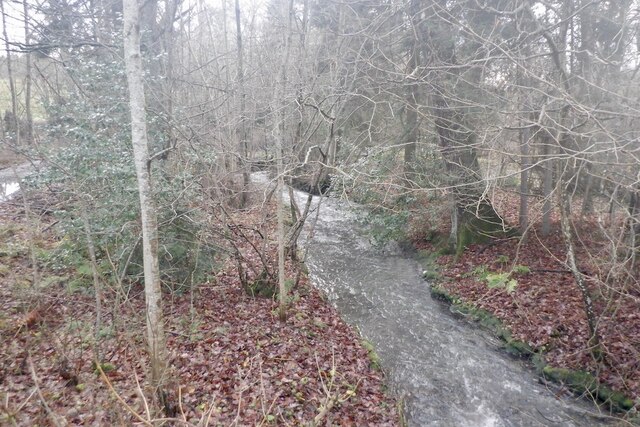
The surrounding area of Eastfield offers ample opportunities for outdoor activities. Residents and visitors can explore the beautiful countryside on foot or by bike, with numerous walking and cycling trails available nearby. The River Tweed, which runs through Kelso, is also popular for fishing enthusiasts.

Overall, Eastfield is a charming village in Roxburghshire, offering a peaceful and idyllic lifestyle, while benefiting from its close proximity to the amenities and attractions of the nearby town of Kelso.

If you have any feedback on the listing, please let us know in the comments section below.
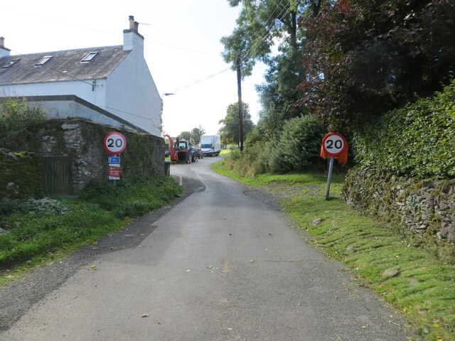
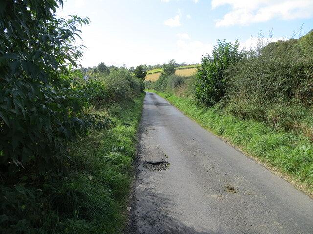
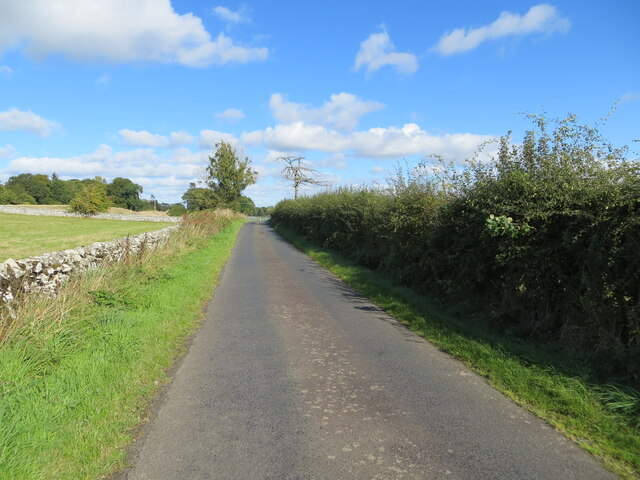
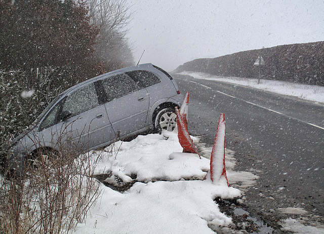
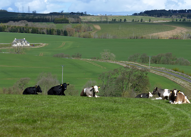
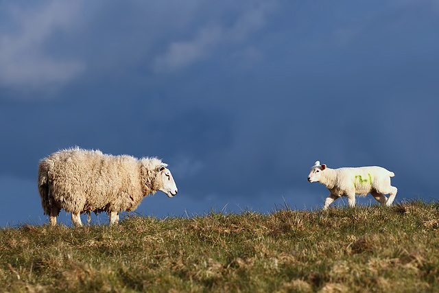
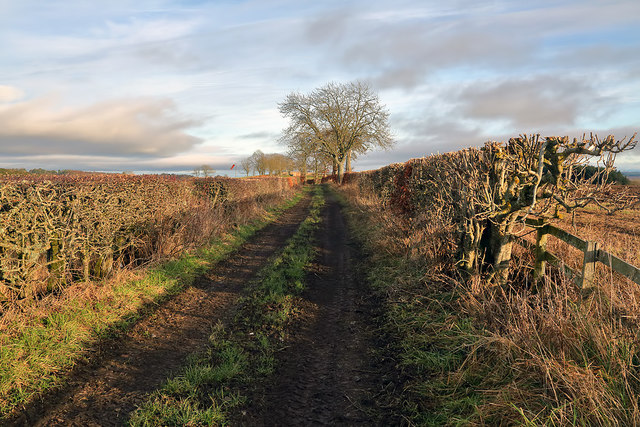
Eastfield Images

Images are sourced within 2km of 55.54353/-2.7305341 or Grid Reference NT5428. Thanks to Geograph Open Source API. All images are credited.

A drinking fountain at Midlem Village The fountain has been painted since this photo was taken <a href="https://www.geograph.org.uk/photo/961088">NT5227 : Midlem Village from the well</a>.
A drinking fountain at Midlem Village
The fountain has been painted since this photo was taken NT5227 : Midlem Village from the well.
Minor road about to join the B6453 road in Midlem Looking south-westward.
Minor road about to join the B6453 road in Midlem
Looking south-westward.
Hedge-lined minor road heading towards Midlem Looking south-westward.
Hedge-lined minor road heading towards Midlem
Looking south-westward.
Hedge and wall enclosed minor road between Midlem and Eastfield Looking north-eastward.
Hedge and wall enclosed minor road between Midlem and Eastfield
Looking north-eastward.
Wall and tree enclosed minor road near Eastfield Looking south-westward.
Wall and tree enclosed minor road near Eastfield
Looking south-westward.
Minor road near to Eastfield Looking north-eastward.
Minor road near to Eastfield
Looking north-eastward.
Shawburn, a large farmhouse
Village of Midlem
Village of Midlem
A winter road accident The roads were hazardous in the morning after overnight snow and the driver of this vehicle had the misfortune to leave the A699 road between St Boswells and Selkirk. When I took this photo in the afternoon the road conditions had improved considerably.
A winter road accident
The roads were hazardous in the morning after overnight snow and the driver of this vehicle had the misfortune to leave the A699 road between St Boswells and Selkirk. When I took this photo in the afternoon the road conditions had improved considerably.
Farmland at Eastfield The livestock in the field was viewed from a minor road to Midlem.
Farmland at Eastfield
The livestock in the field was viewed from a minor road to Midlem.
A ewe with lamb at Kippilaw This evening view was taken against a threatening sky.
A ewe with lamb at Kippilaw
This evening view was taken against a threatening sky.
A farm track at Midlem This track is on the east side of the village. A windsock for Midlem Airfield is in the distance centre left. For a closer view see <a href="https://www.geograph.org.uk/photo/2454139">NT5327 : A windsock at Midlem Airfield</a>.
A farm track at Midlem
This track is on the east side of the village. A windsock for Midlem Airfield is in the distance centre left. For a closer view see NT5327 : A windsock at Midlem Airfield.
Old Milestone near Langside, Bowden parish Milestone by the UC road, in parish of Bowden (Roxburgh District), Langside, on verge in front of drystone wall.

Inscription once read:-
(Newtown)
(3)

Surveyed

Milestone Society National ID: BD_SBLL03
Old Milestone near Langside, Bowden parish
Milestone by the UC road, in parish of Bowden (Roxburgh District), Langside, on verge in front of drystone wall. Inscription once read:- (Newtown) (3) Surveyed Milestone Society National ID: BD_SBLL03
A wooden sculpture at Midlem This splendid chainsaw-carved wooden sculpture of a heilan coo wearing a kilt stands in a prominent position at the edge of a grazing field overlooking the B6453 on the west side of the village.
A wooden sculpture at Midlem
This splendid chainsaw-carved wooden sculpture of a heilan coo wearing a kilt stands in a prominent position at the edge of a grazing field overlooking the B6453 on the west side of the village.
Bridge, Midlem Mill
Bridge, Midlem Mill
Road into Linthill
Road into Linthill
Midlem Burn
Midlem Burn
Green lane to Midlem
Show me another place!

Eastfield is located at Grid Ref: NT5428 (Lat: 55.54353, Lng: -2.7305341)

Unitary Authority: The Scottish Borders

Police Authority: The Lothians and Scottish Borders

What 3 Words

///elephant.twig.refills. Near Newtown St Boswells, Scottish Borders

Nearby Locations

Eastfield Kippilaw

Related Wikis

Castle Holydean

Holydean Castle (pronounced "hollydeen") was a castle sited near Melrose in Bowden, 1.25 miles SW of the village, in the Scottish Borders region of Scotland...

Lothian and Borders

Lothian and Borders is an area in Scotland consisting of the East Lothian, City of Edinburgh, Midlothian, West Lothian council areas (collectively known...

Bowden, Scottish Borders

Bowden is a village in the Roxburghshire area of the Scottish Borders, situated 3 miles (5 kilometres) south of Melrose, 2 miles (3 kilometres) west of...

Lilliesleaf

Lilliesleaf is a small village and civil parish 7 miles (11 km) south east of Selkirk in the Roxburghshire area of Scottish Borders of Scotland. Other...

Charlesfield Halt railway station

Charlesfield Halt railway station served the village of Charlesfield, Melrose, Scotland, from 1942 to 1961 on the Waverley Route. == History == The station...

Belses

Belses is a village on the Ale Water, in the Scottish Borders area of Scotland the former Selkirkshire. It is situated close to Old Belses, and lies south...

Selkirk transmitting station

The Selkirk transmitting station is a telecommunications facility located next to Lindean Loch, near Selkirk in the Scottish Borders. It includes a 229...

Old Belses

Old Belses is a village by the Ale Water, in the Parish of Ancrum, in the Scottish Borders of Scotland, in the historic county of Roxburghshire. Other...

Nearby Amenities

Located within 500m of 55.54353,-2.7305341
Power: pole
Lat/Long: 55.5477309/-2.7288438
Power: pole
Lat/Long: 55.547223/-2.7278602
Power: pole
Lat/Long: 55.5466009/-2.7265889
Power: pole
Lat/Long: 55.5462229/-2.7258208
Power: pole
Lat/Long: 55.5456889/-2.7247757
Power: pole
Lat/Long: 55.5451763/-2.7237399
The data included in this document is from www.openstreetmap.org. The data is made available under ODbL.

Have you been to Eastfield?

Leave your review of Eastfield below (or comments, questions and feedback).