Eastfield
Settlement in Lanarkshire
Scotland
Eastfield

Eastfield is a small residential area located in the county of Lanarkshire, Scotland. Situated within the larger town of Cumbernauld, Eastfield is a close-knit community that offers residents a peaceful and picturesque environment.
The area is primarily comprised of housing developments, with a mix of detached and semi-detached houses, as well as some apartment buildings. The properties in Eastfield are well-maintained, and the streets are lined with trees and green spaces, adding to the overall charm of the neighborhood.
Eastfield benefits from its proximity to various amenities and facilities. The nearby Cumbernauld town center provides residents with a wide range of shopping options, including supermarkets, retail outlets, and local shops. Additionally, there are several schools in the area, making it an ideal location for families with children.
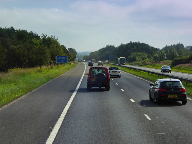
The community is well-connected with good transport links. The M80 motorway is easily accessible from Eastfield, providing convenient access to Glasgow, which is approximately 15 miles away. Public transportation is also available, with regular bus services connecting Eastfield to surrounding towns and villages.
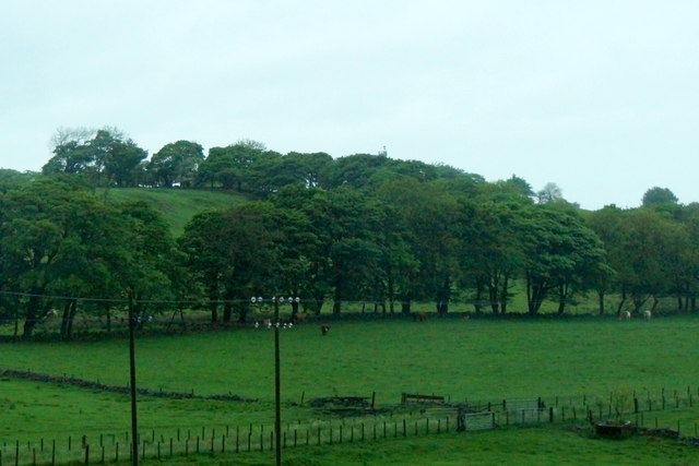
For outdoor enthusiasts, Eastfield offers plenty of recreational opportunities. The area is surrounded by beautiful countryside, with various walking and cycling trails nearby. Local parks and green spaces provide residents with the opportunity to enjoy outdoor activities and relax in nature.
Overall, Eastfield is a charming residential area within Lanarkshire, offering a peaceful and family-friendly environment with convenient access to amenities and beautiful natural surroundings.
If you have any feedback on the listing, please let us know in the comments section below.
Eastfield Images
Images are sourced within 2km of 55.857988/-3.7648577 or Grid Reference NS8964. Thanks to Geograph Open Source API. All images are credited.
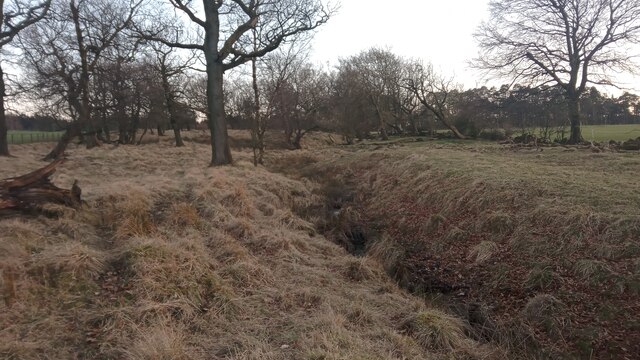
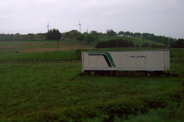
![Southrigg Colliery Remains Southrigg Colliery was a relatively recent short-lived open-cast coal mine. It was operational for just 12 years and closed in 1950, and employed around 100 men.
A 1950s surveyed OS map still shows a building at this spot, and is where I took its name from. Canmore - the arm of Historic Environment Scotland that assiduously details all traces of human activity in the landscape - however refers to it as 'Netherton Mine'; Netherton Farm is situated just South of here.
Presumably this would have once been the site of the main building - probably made up of offices, changing rooms, toilets and the miners' canteen, referenced in the Canmore write-up as a, "piece canteen run by workmen [please note that 'piece' is a colloquialism for sandwich]". It is surprising that back in the days of union power, stoves weren't demanded - though this could have had something to do with resources being stretched at the beginning of the Second World War I suppose.
I initially presumed that the odd criss-cross nature of the remains of this brick and concrete structure - along with the presence of regular small square holes at the top of the 'walls' with vertical metal bars inside - hinted at some unknown mining activities having taken place here previously. On reflection, though, this may well just be how foundations were quickly built on the boggy ground round these parts.
The irregular shaped remains cover an area of around 30 by 20 feet.](https://s0.geograph.org.uk/geophotos/07/26/14/7261408_e2f23d49.jpg)


Eastfield is located at Grid Ref: NS8964 (Lat: 55.857988, Lng: -3.7648577)
Unitary Authority: North Lanarkshire
Police Authority: Lanarkshire
What 3 Words
///thickened.digit.dome. Near Harthill, North Lanarkshire
Nearby Locations
Related Wikis
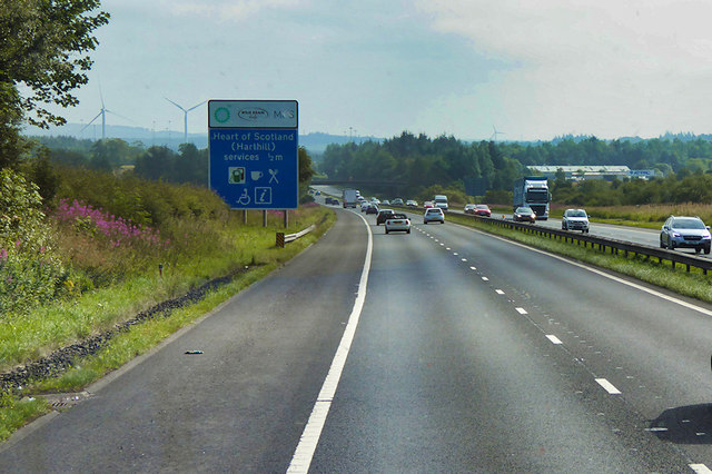
Heart of Scotland services
Heart of Scotland services, commonly referred to as Harthill services, is a motorway service station on the M8 motorway between junctions 4a & 5, at Harthill...

West Benhar F.C.
West Benhar Football Club (also known simply as Benhar) was a senior football club from the small mining settlement of West Benhar, a mile to the south...

Harthill, Scotland
Harthill is a rural village split between North Lanarkshire and West Lothian in Scotland, with most of the village in North Lanarkshire. It is located...
Harthill Royal F.C.
Harthill Royal Football Club are a Scottish football club based in the Greenrigg area of Harthill, West Lothian. Previously an amateur side called Harthill...
Nearby Amenities
Located within 500m of 55.857988,-3.7648577Have you been to Eastfield?
Leave your review of Eastfield below (or comments, questions and feedback).