The Plantation
Wood, Forest in Hertfordshire Dacorum
England
The Plantation

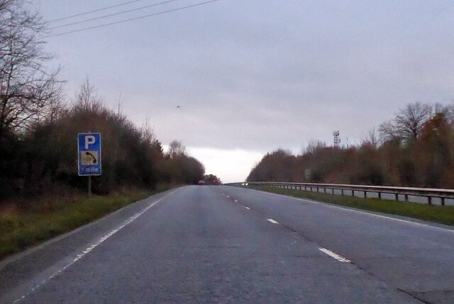
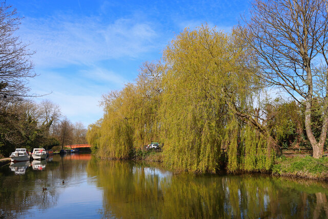
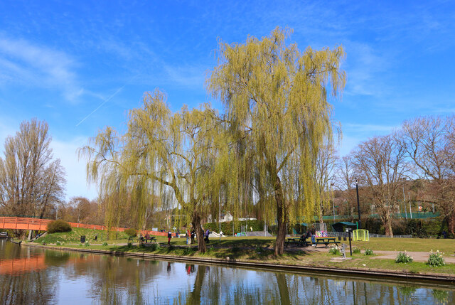
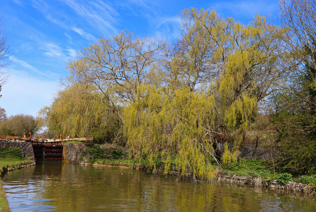
The Plantation, located in Hertfordshire, England, is a picturesque woodland area known for its enchanting beauty and serene atmosphere. It is situated in the southern part of the county, near the town of Hertford. Covering a vast area of approximately 500 acres, The Plantation is characterized by its dense forest, towering trees, and diverse range of flora and fauna.
The woodland is dominated by a variety of tree species, including oak, beech, and birch, creating a rich and vibrant ecosystem. The tall, majestic trees form a dense canopy, providing shade and shelter for a diverse range of wildlife. Visitors to The Plantation can expect to encounter various bird species, such as woodpeckers, owls, and songbirds, as well as small mammals like squirrels and foxes.
The Plantation offers a tranquil retreat for nature lovers and outdoor enthusiasts. Its well-maintained walking trails meander through the woodland, offering visitors the opportunity to explore the beauty of the forest at their own pace. The pathways are lined with wildflowers, adding a splash of color to the green surroundings.
The woodland is also home to a variety of recreational activities, including cycling, jogging, and picnicking. Nature enthusiasts can engage in birdwatching and wildlife observation, while photographers can capture the breathtaking scenery.
Overall, The Plantation in Hertfordshire is a haven of natural beauty, offering visitors a peaceful escape from the bustling city life. With its diverse flora and fauna, well-maintained trails, and serene ambiance, it is a destination that appeals to both nature lovers and those seeking a respite in the midst of nature.
If you have any feedback on the listing, please let us know in the comments section below.
The Plantation Images
Images are sourced within 2km of 51.760416/-0.58939826 or Grid Reference SP9707. Thanks to Geograph Open Source API. All images are credited.


The Plantation is located at Grid Ref: SP9707 (Lat: 51.760416, Lng: -0.58939826)
Administrative County: Hertfordshire
District: Dacorum
Police Authority: Hertfordshire
What 3 Words
///examiner.simmer.funded. Near Berkhamsted, Hertfordshire
Nearby Locations
Related Wikis

Egerton Rothesay School
Egerton Rothesay School is an independent special education school located in Berkhamsted, Hertfordshire, United Kingdom. == History == Egerton Rothesay...

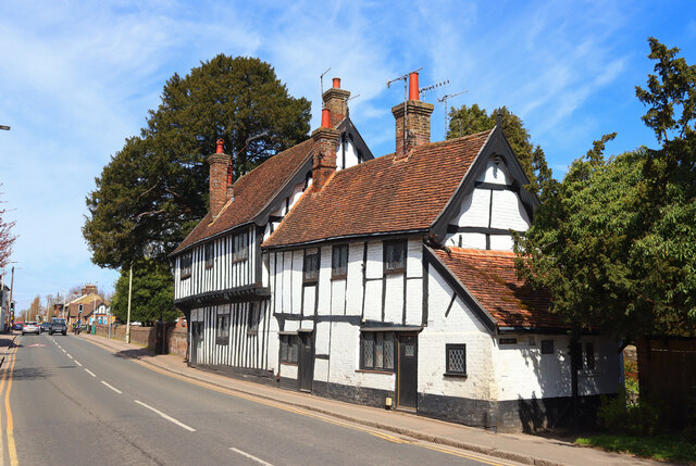
Northchurch
Northchurch is a village and civil parish in the Bulbourne valley in the county of Hertfordshire in the United Kingdom. It lies between the towns of Berkhamsted...
Berkhamsted Rural District
Berkhamsted Rural District was a rural district in Hertfordshire, England from 1894 to 1974, covering an area to the west of the county. Until 1937 the...
Northchurch Roman villa
Northchurch Roman Villa is a ruined Roman villa at Northchurch, Hertfordshire. The site was excavated in 1973 due to new housing developments on the site...
Berkhamsted School
Berkhamsted School is a public school in Berkhamsted, Hertfordshire, England. The present school was formed in 1997 by the amalgamation of the original...

Rossway
Rossway Park Estate is a 1,000-acre (400 ha) country estate located about 0.5 kilometers south of Berkhamsted in Hertfordshire, England. The house at the...

Berkhamsted Town Hall
Berkhamsted Town Hall is a municipal building in the High Street, Berkhamsted, Hertfordshire, England. It is a Grade II listed building. == History... ==
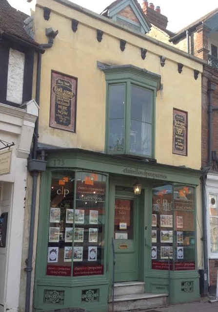
173, High Street, Berkhamsted
173, High Street, Berkhamsted, is a medieval building in Hertfordshire, England. It is considered to be the oldest extant jettied timber framed building...
Nearby Amenities
Located within 500m of 51.760416,-0.58939826Have you been to The Plantation?
Leave your review of The Plantation below (or comments, questions and feedback).