Fane's Gorse
Wood, Forest in Lincolnshire South Kesteven
England
Fane's Gorse

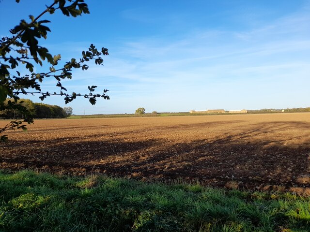
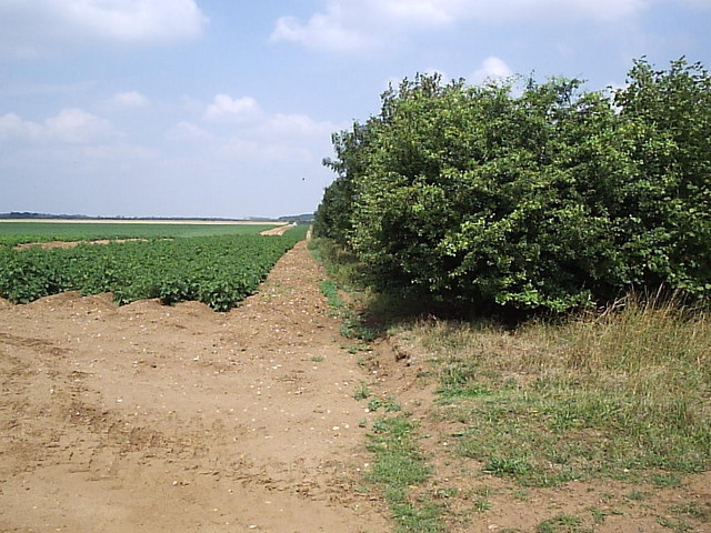
Fane's Gorse is a small wood located in Lincolnshire, England. Covering an area of approximately 20 hectares, it is considered a forested area rather than a true woodland due to its size and composition. The wood is situated near the town of Fane, which is known for its picturesque countryside and natural beauty.
Fane's Gorse is predominantly composed of gorse bushes, which are characterized by their bright yellow flowers and spiky foliage. These bushes create a dense and impenetrable thicket, providing shelter and nesting sites for a variety of bird species, such as linnets, stonechats, and meadow pipits. In addition to the avian population, the wood also supports a diverse range of insects, including butterflies, bees, and beetles.
The forest floor is covered in a rich carpet of ferns, mosses, and wildflowers, adding to the wood's natural beauty and biodiversity. Common species that can be found in Fane's Gorse include bluebells, primroses, and wood anemones.
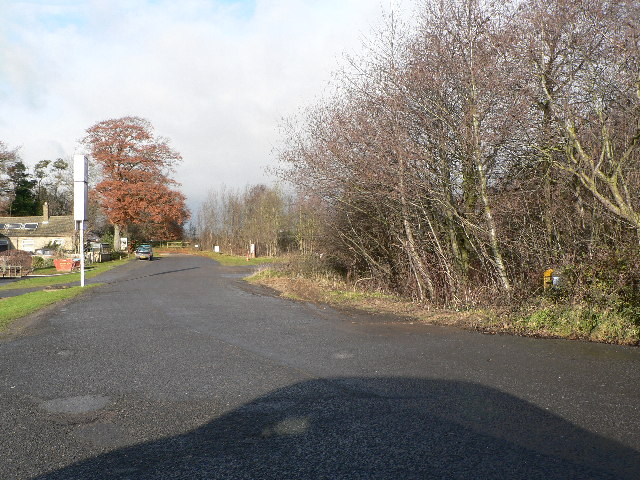
Fane's Gorse is a popular destination for nature enthusiasts and hikers due to its tranquil atmosphere and scenic surroundings. Its well-maintained footpaths offer visitors the opportunity to explore and appreciate the wood's natural wonders. Additionally, the wood provides a habitat for several mammal species, including rabbits, squirrels, and foxes, which can sometimes be spotted by observant visitors.
Overall, Fane's Gorse is a charming woodland, offering a glimpse into the natural heritage of Lincolnshire and providing a haven for a diverse array of flora and fauna.
If you have any feedback on the listing, please let us know in the comments section below.
Fane's Gorse Images
Images are sourced within 2km of 53.043854/-0.54875708 or Grid Reference SK9750. Thanks to Geograph Open Source API. All images are credited.


Fane's Gorse is located at Grid Ref: SK9750 (Lat: 53.043854, Lng: -0.54875708)
Administrative County: Lincolnshire
District: South Kesteven
Police Authority: Lincolnshire
What 3 Words
///weeded.cookie.minus. Near Caythorpe, Lincolnshire
Nearby Locations
Related Wikis
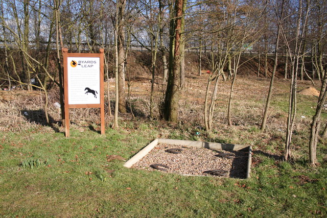
Byard's Leap
Byard's Leap is a hamlet in the North Kesteven district of Lincolnshire, England. It is situated approximately 3 miles (5 km) west from Cranwell, and is...

Claypole Rural District
Claypole was a rural district in Lincolnshire, Parts of Kesteven from 1894 to 1931. It was formed under the Local Government Act 1894 from that part of...
Fulbeck
Fulbeck is a small village and civil parish in the South Kesteven district of Lincolnshire, England. The population (including Byards Leap) taken at the...

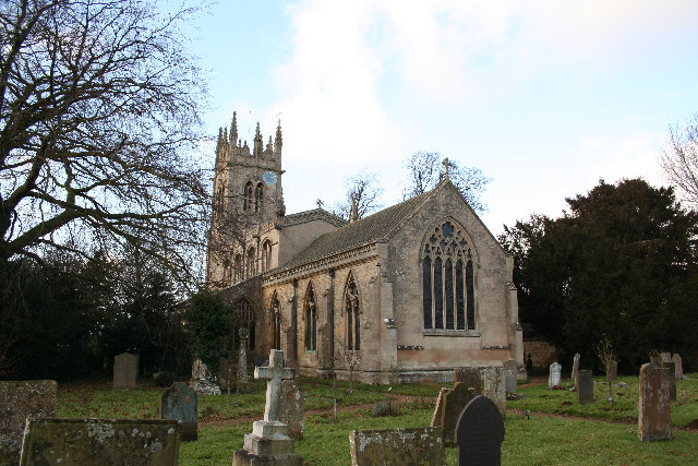
St Nicholas' Church, Fulbeck
St Nicholas' Church is a Grade I listed Church of England parish church dedicated to Saint Nicholas, in Fulbeck, Lincolnshire, England. The church is 9...

Royal Air Force College Cranwell
The Royal Air Force College (RAFC) is the Royal Air Force military academy which provides initial training to all RAF personnel who are preparing to become...

Leadenham House
Leadenham House is a Grade II* listed Georgian country house in Leadenham, Lincolnshire, England.The house is constructed in '2½ storeys' of ashlar and...
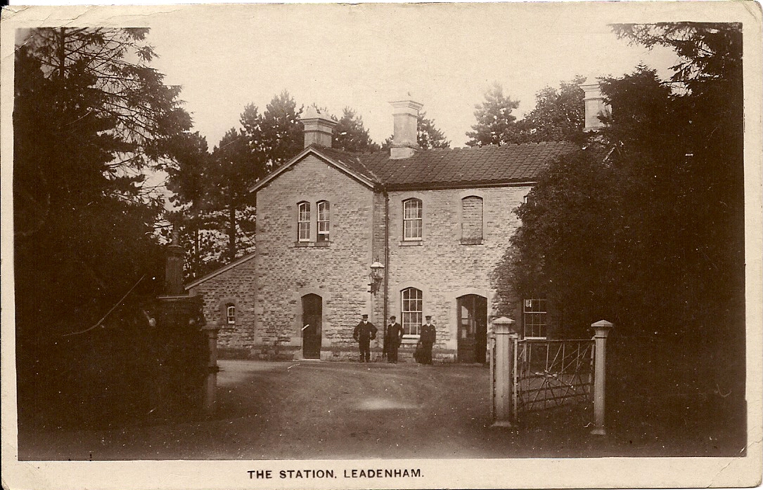
Leadenham railway station
Leadenham railway station was a railway station in Leadenham, Lincolnshire. It closed on 1 November 1965. The station was located on Main Road, being built...
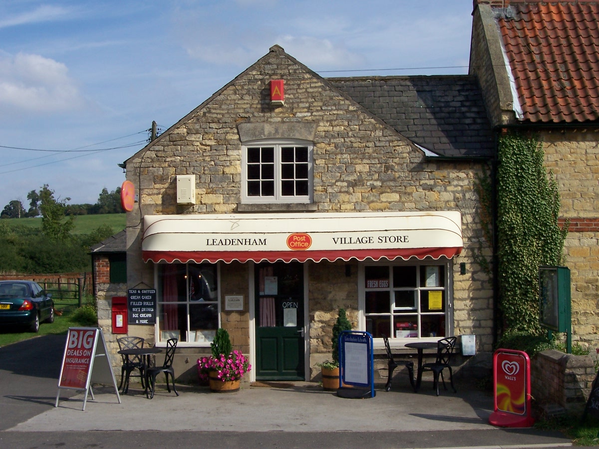
Leadenham
Leadenham is a village and civil parish in North Kesteven district of Lincolnshire, England. The population of the civil parish at the 2011 census was...
Nearby Amenities
Located within 500m of 53.043854,-0.54875708Have you been to Fane's Gorse?
Leave your review of Fane's Gorse below (or comments, questions and feedback).