Fox Covert
Wood, Forest in Bedfordshire
England
Fox Covert

Fox Covert is a woodland area located in Bedfordshire, England. Situated on the outskirts of the village of Wood, the covert is known for its lush greenery and serene atmosphere, making it a popular destination for nature enthusiasts and walkers.
Covering an area of approximately 50 acres, Fox Covert is predominantly composed of dense forests and woodlands, characterized by a variety of tree species such as oak, beech, and birch. The diverse range of flora and fauna found within the covert provides a habitat for a multitude of wildlife including foxes, badgers, deer, and a wide array of bird species.
The woodland features several well-maintained walking trails, allowing visitors to explore the area and enjoy the peaceful surroundings. These paths wind through the trees, providing glimpses of tranquil ponds and meadows along the way. The covert also boasts a picnic area, perfect for those seeking a spot to relax and enjoy a meal amidst the natural beauty.
Fox Covert offers a unique opportunity to escape the hustle and bustle of city life and immerse oneself in the tranquility of nature. Its proximity to Wood village makes it easily accessible for locals and tourists alike, and its well-preserved natural environment ensures a delightful experience for all visitors.
Overall, Fox Covert in Bedfordshire is a charming woodland retreat that offers a refreshing escape into nature. Its picturesque landscapes, diverse wildlife, and peaceful ambiance make it an ideal destination for outdoor enthusiasts and nature lovers.
If you have any feedback on the listing, please let us know in the comments section below.
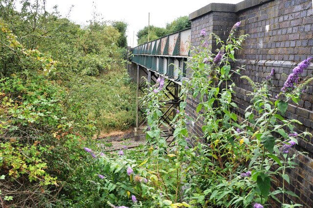
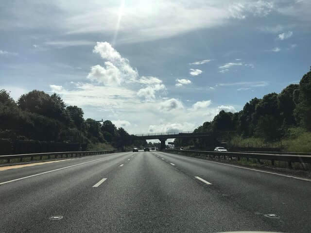
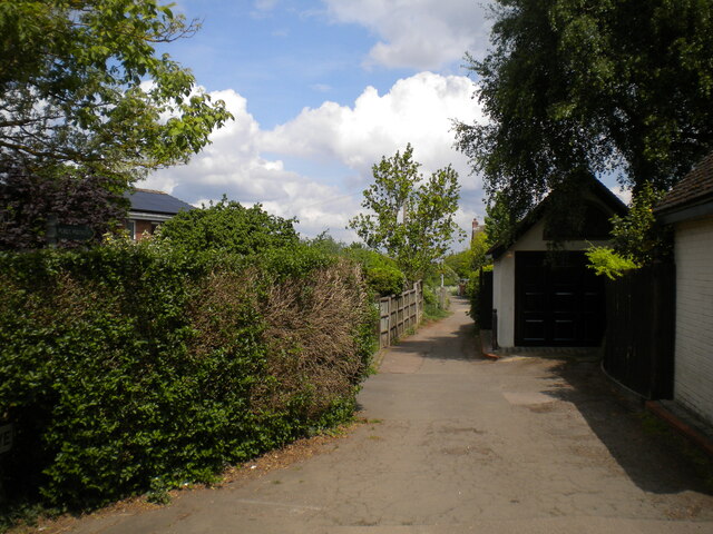
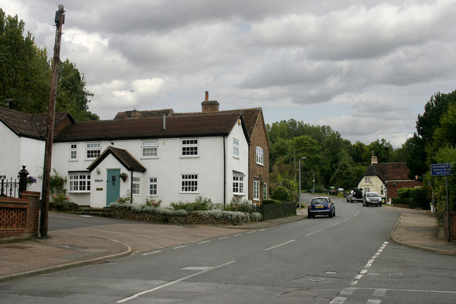
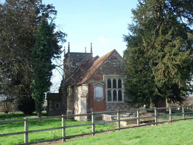
Fox Covert Images
Images are sourced within 2km of 52.034614/-0.58287002 or Grid Reference SP9738. Thanks to Geograph Open Source API. All images are credited.


Fox Covert is located at Grid Ref: SP9738 (Lat: 52.034614, Lng: -0.58287002)
Unitary Authority: Central Bedfordshire
Police Authority: Bedfordshire
What 3 Words
///conspire.cashiers.cooks. Near Lidlington, Bedfordshire
Nearby Locations
Related Wikis

Rugemont Castle
Rugemont Castle was a castle in the village of Ridgmont, in the county of Bedfordshire, England (grid reference SP97033846). == History == Not much is...
Brogborough
Brogborough is a village and civil parish in the Central Bedfordshire district of Bedfordshire, England, by junction 13 of the M1 motorway. According...
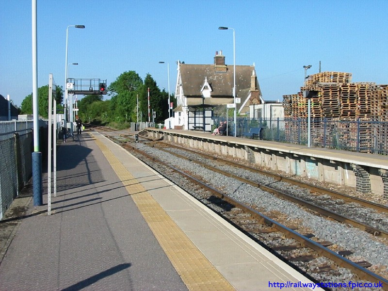
Ridgmont railway station
Ridgmont railway station is a small unstaffed railway station that serves the village of Ridgmont in Bedfordshire. The station is about 1 mile (2 km) away...
Lidlington
Lidlington is a small village and civil parish in Central Bedfordshire, England surrounded by farmland, in the Marston Vale. The hamlets of Boughton End...

Lidlington railway station
Lidlington railway station serves the village of Lidlington in Bedfordshire, England. The station's two platforms once faced each other, either side of...
Husborne Crawley railway station
Husborne Crawley railway station served the village of Husborne Crawley, Bedfordshire, England from 1905 to 1941 on the Varsity line. == History == The...

Ridgmont
Ridgmont is a small village and civil parish in Bedfordshire, England. It is located beside junction 13 of the M1 motorway, and close to Milton Keynes...
Hulcote, Bedfordshire
Hulcote is a village and (as Holcot) a former civil parish, now in the parish of Hulcote and Salford, in the Central Bedfordshire district of the ceremonial...
Nearby Amenities
Located within 500m of 52.034614,-0.58287002Have you been to Fox Covert?
Leave your review of Fox Covert below (or comments, questions and feedback).