Hooper's Spinney

Wood, Forest in Bedfordshire

England

Hooper's Spinney

Carlton and Harrold from the air Carlton is the village to the left of centre, Harold is at the top, between the lakes.
Carlton and Harrold from the air Credit: Thomas Nugent

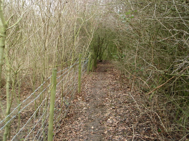
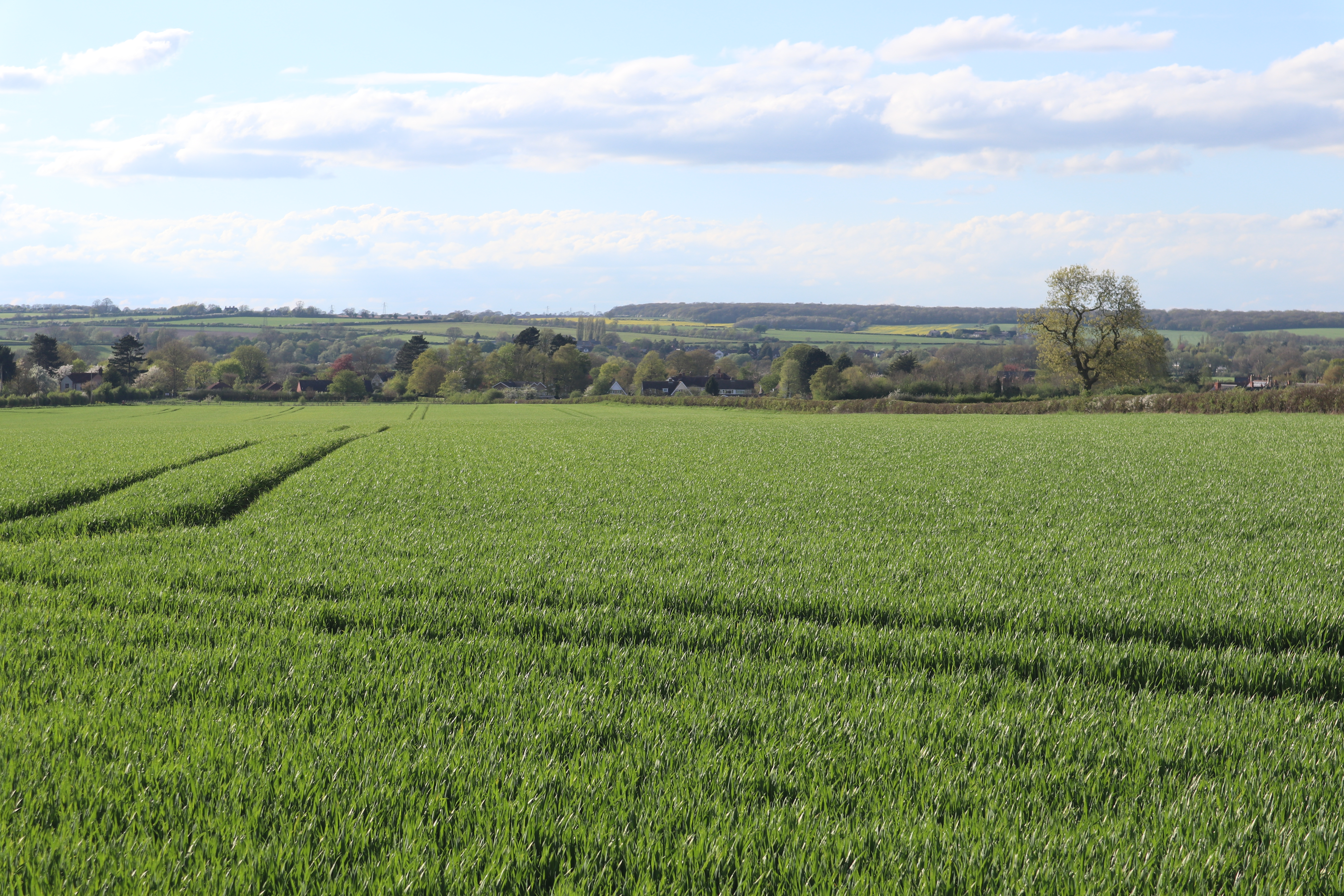
Hooper's Spinney is a picturesque woodland located in the county of Bedfordshire, England. Nestled in the heart of the countryside, this enchanting forest spans across a vast area, offering visitors a tranquil escape from the bustling city life.

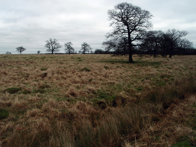
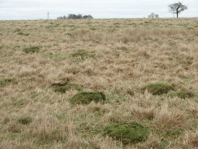
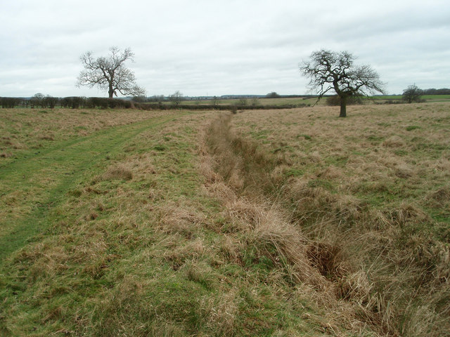
The woodland is renowned for its diverse range of tree species, including oak, beech, and birch, which create a vibrant and colorful canopy throughout the year. The forest floor is adorned with a carpet of wildflowers, adding to the natural beauty of the surroundings. Hooper's Spinney is home to an array of wildlife, providing a sanctuary for various bird species, small mammals, and insects.

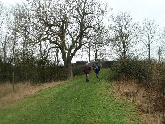
The woodland boasts a network of well-marked trails, making it an ideal destination for walkers, hikers, and nature enthusiasts. These paths wind their way through the forest, allowing visitors to explore the hidden treasures that lie within. Along the trails, there are several viewpoints and picnic spots, providing opportunities to rest and admire the breathtaking scenery.

Hooper's Spinney is also a popular location for outdoor activities such as birdwatching, photography, and nature study. The peaceful ambiance and abundance of wildlife make it an ideal spot for these pursuits. Additionally, the forest is often used as an educational resource, with schools and nature organizations organizing field trips and workshops to teach about the importance of conservation and environmental stewardship.

Overall, Hooper's Spinney is a true gem in Bedfordshire, offering a serene and immersive woodland experience for all who visit. Its natural beauty, diverse wildlife, and well-maintained trails make it a must-visit destination for nature lovers and those seeking a peaceful retreat.

If you have any feedback on the listing, please let us know in the comments section below.

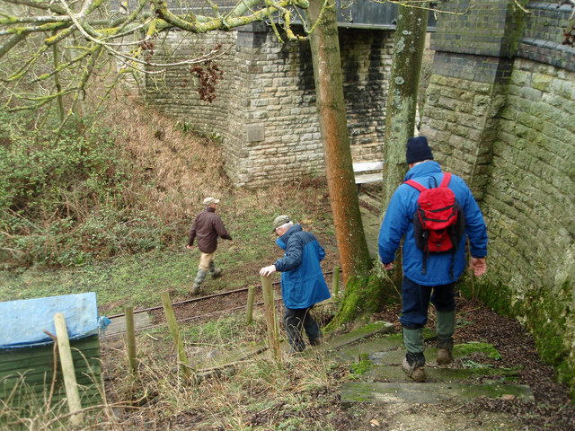
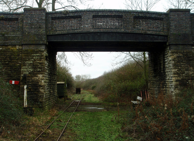
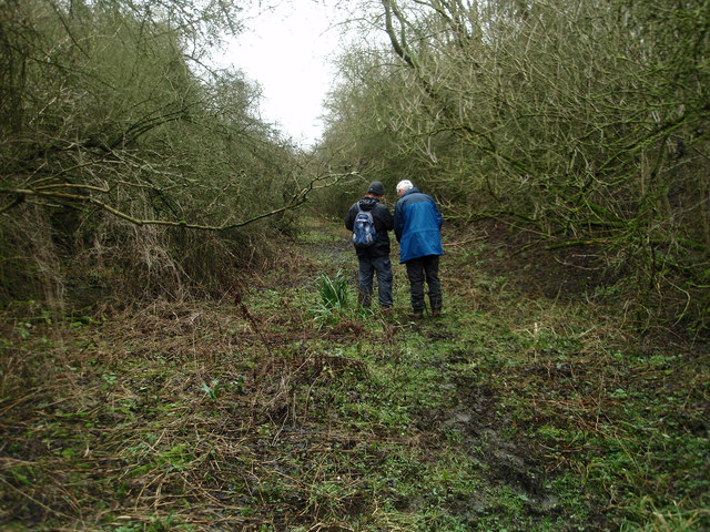
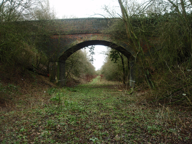
Hooper's Spinney Images

Images are sourced within 2km of 52.173807/-0.58664062 or Grid Reference SP9653. Thanks to Geograph Open Source API. All images are credited.

Carlton and Harrold from the air Carlton is the village to the left of centre, Harold is at the top, between the lakes.
Carlton and Harrold from the air
Carlton is the village to the left of centre, Harold is at the top, between the lakes.
Old pasture land Large ant hills suggest that this field has not been under the plough for many years if at all. Usually described as rough grazing.
Old pasture land
Large ant hills suggest that this field has not been under the plough for many years if at all. Usually described as rough grazing.
Ant hills in pasture land Rough grazing near Turvey.
Ant hills in pasture land
Rough grazing near Turvey.
Grazing land and bridleway near Turvey
Heading towards an old railway bridge On the bridleway that crosses the disused railway line.
Heading towards an old railway bridge
On the bridleway that crosses the disused railway line.
Descending on to the old railway track bed A footpath runs along the former railway line but you need to descend with care from the bridleway.
Descending on to the old railway track bed
A footpath runs along the former railway line but you need to descend with care from the bridleway.
Bridge over the old railway The bridge appears to have been built for farm access over the railway cutting. The track is for a light industrial railway collection.
Bridge over the old railway
The bridge appears to have been built for farm access over the railway cutting. The track is for a light industrial railway collection.
Former Northampton - Bedford railway line Walking along the footpath that follows the former railway line. A <span class="nowrap"><a title="http://turvey.homestead.com/railways.html" rel="nofollow ugc noopener" href="http://turvey.homestead.com/railways.html">Link</a><img style="margin-left:2px;" alt="External link" title="External link - shift click to open in new window" src="https://s1.geograph.org.uk/img/external.png" width="10" height="10"/></span> detailing some history of the railway near Turvey.
Former Northampton - Bedford railway line
Walking along the footpath that follows the former railway line. A LinkExternal link detailing some history of the railway near Turvey.
Farm and field access bridge over the old Bedford - Northampton railway line The footpath ends this side of the bridge and is very tricky to ascend out of the cutting.
Farm and field access bridge over the old Bedford - Northampton railway line
The footpath ends this side of the bridge and is very tricky to ascend out of the cutting.
Footpath near the railway line at Turvey Despite appearing to be overgrown work is going on to open out the footpath.
Footpath near the railway line at Turvey
Despite appearing to be overgrown work is going on to open out the footpath.
Wedding party at St Mary the Virgin, Carlton
Footpath south of Carlton This remote area of north Bedfordshire is criss-crossed with unnamed footpaths. During an afternoon spent trudging along some of them, I was struck by how well-signed they were.
Footpath south of Carlton
This remote area of north Bedfordshire is criss-crossed with unnamed footpaths. During an afternoon spent trudging along some of them, I was struck by how well-signed they were.
Farmhouse at West End near Stevington
Cottages at West End near Stevington
River Great Ouse between Stevington - Pavenham
House in High Street, Carlton (Beds)
Nicholas Farm, Edens Lane, Carlton
Footpath south of Carlton (Beds) The countryside in this part of Bedfordshire consists of long gentle slopes rising slowly to low summits such as this at around 250 feet.
Footpath south of Carlton (Beds)
The countryside in this part of Bedfordshire consists of long gentle slopes rising slowly to low summits such as this at around 250 feet.
Show me another place!

Hooper's Spinney is located at Grid Ref: SP9653 (Lat: 52.173807, Lng: -0.58664062)

Unitary Authority: Bedford

Police Authority: Bedfordshire

What 3 Words

///bind.shipwreck.shifts. Near Stevington, Bedfordshire

Related Wikis

Turvey railway station

Turvey was a railway station on the Bedford to Northampton Line which served the village of Turvey from 1872 to 1962. == History == Opened by the Bedford...

Stevington Marsh

Stevington Marsh is a 7.5-hectare (19-acre) biological Site of Special Scientific Interest in Pavenham in Bedfordshire. It was notified in 1987 under Section...

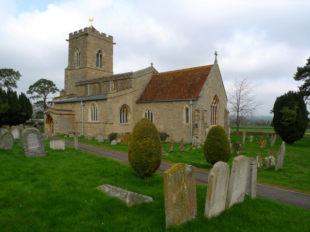
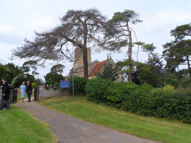
Church of St Mary, Carlton, Bedfordshire

Church of St Mary is a Grade I listed church in Carlton, Bedfordshire, England. == See also == Grade I listed buildings in Bedfordshire == References ==

Carlton with Chellington

Carlton with Chellington is a civil parish in the historical Hundred of Willey in Bedfordshire, England, and is within the Borough of Bedford. The parish...

Stevington

Stevington is a village and civil parish in the Borough of Bedford in northern Bedfordshire, England. It is on the River Great Ouse four to five miles...

Church of St Mary, Stevington

Church of St Mary is a Grade I listed church in Stevington, Bedfordshire, England. It became a listed building on 13 July 1964. It is the Anglican parish...

West End, Bedfordshire

West End is a hamlet located in the Borough of Bedford in Bedfordshire, England. The settlement is close to Carlton, Pavenham and Stevington. West End...

Carlton, Bedfordshire

Carlton is a village and former civil parish, now in the parish of Carlton and Chellington, in the Bedford district, in the ceremonial county of Bedfordshire...

Nearby Amenities

Located within 500m of 52.173807,-0.58664062
Power: tower
Lat/Long: 52.1715826/-0.5895708
Power: tower
Lat/Long: 52.1704113/-0.5860732
Power: tower
Lat/Long: 52.1725367/-0.592532
The data included in this document is from www.openstreetmap.org. The data is made available under ODbL.

Have you been to Hooper's Spinney?

Leave your review of Hooper's Spinney below (or comments, questions and feedback).