Lamb Hanger

Wood, Forest in Sussex Chichester

England

Lamb Hanger

View north from the South Downs Way The A285 passes through the dip in the Downs that you can see in the photo.
View north from the South Downs Way Credit: Ian Cunliffe

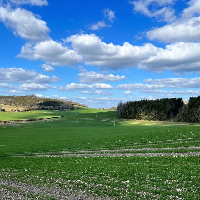
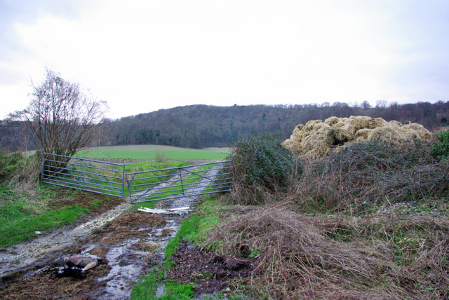
Lamb Hanger, Sussex is a picturesque wood located in the heart of the South Downs National Park in southern England. Nestled between the villages of East Dean and Charlton, Lamb Hanger is renowned for its stunning natural beauty and tranquil surroundings.

Covering an area of approximately 150 hectares, Lamb Hanger is predominantly a mixed deciduous woodland, with a diverse range of tree species including oak, beech, ash, and birch. The wood is characterized by its dense vegetation and towering trees, creating a lush and verdant canopy that provides shade and shelter for a variety of flora and fauna.

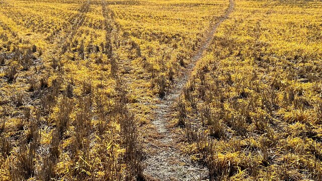
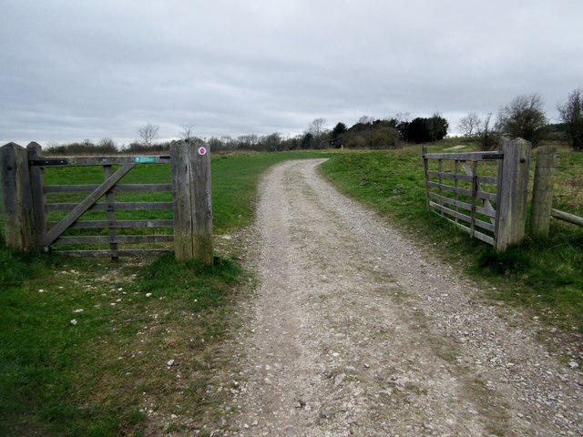
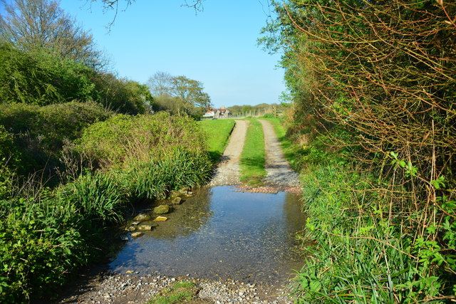
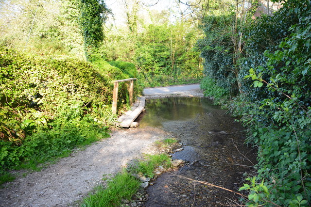
The woodland is crisscrossed with a network of well-maintained footpaths, making it a popular destination for walkers, nature enthusiasts, and outdoor adventurers. These paths meander through the woodland, offering visitors the opportunity to explore its hidden corners and discover its many delights.

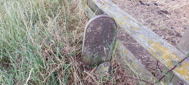
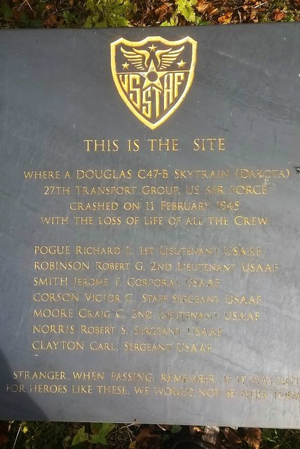
Lamb Hanger is not only a haven for nature lovers but also a significant archaeological site. The wood is home to ancient earthworks, including Bronze Age burial mounds and Iron Age hill forts, which provide valuable insights into the region's rich history.

Visitors to Lamb Hanger can expect to encounter a diverse range of wildlife, including deer, squirrels, foxes, and a variety of bird species. The wood's peaceful atmosphere and abundance of natural beauty make it an ideal spot for birdwatching, photography, and simply immersing oneself in the wonders of nature.

Overall, Lamb Hanger, Sussex is a captivating wood that offers a unique blend of natural beauty, historical significance, and recreational opportunities. Whether one seeks a peaceful retreat or an adventure in the great outdoors, Lamb Hanger is sure to leave a lasting impression.

If you have any feedback on the listing, please let us know in the comments section below.
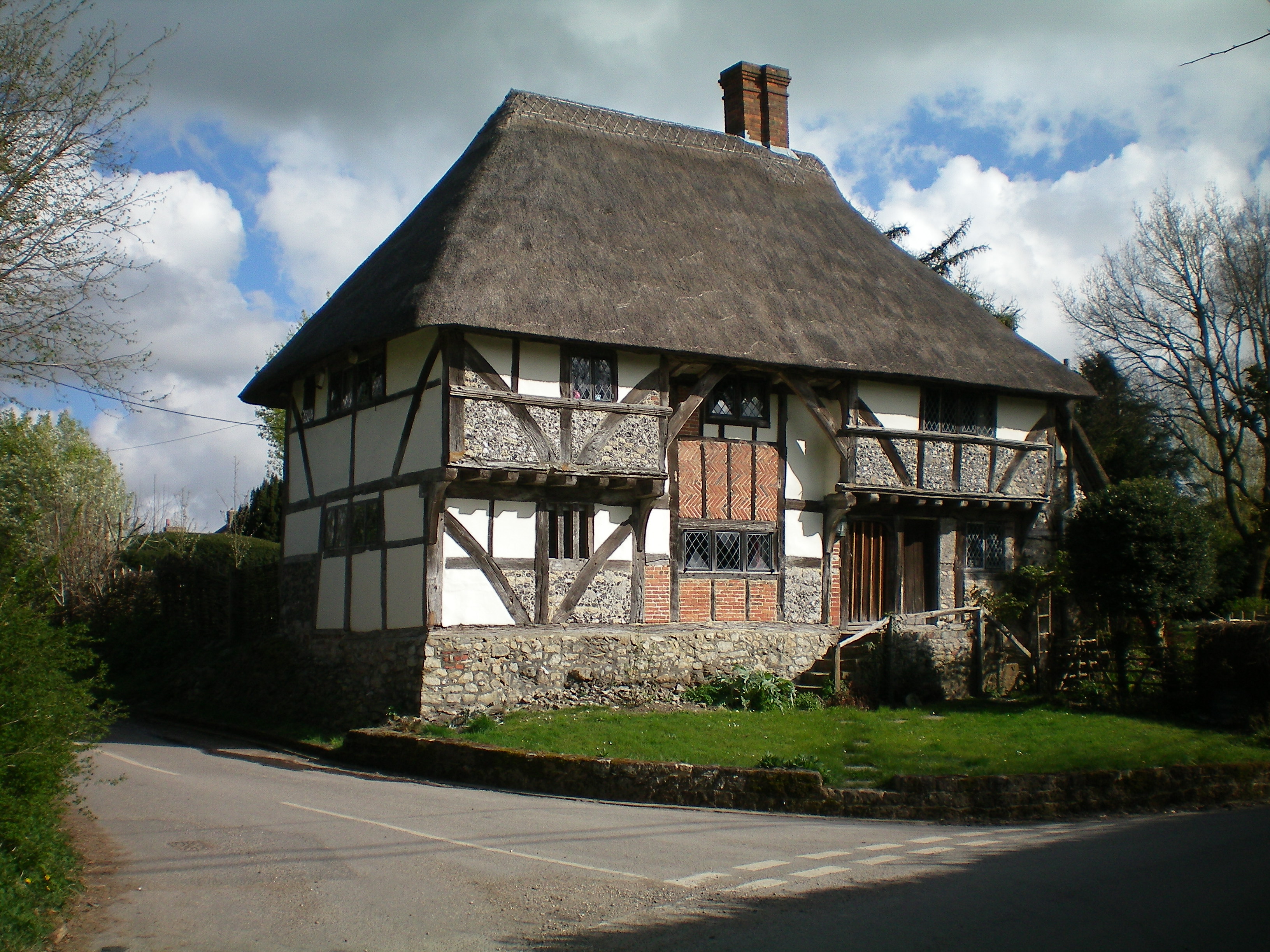
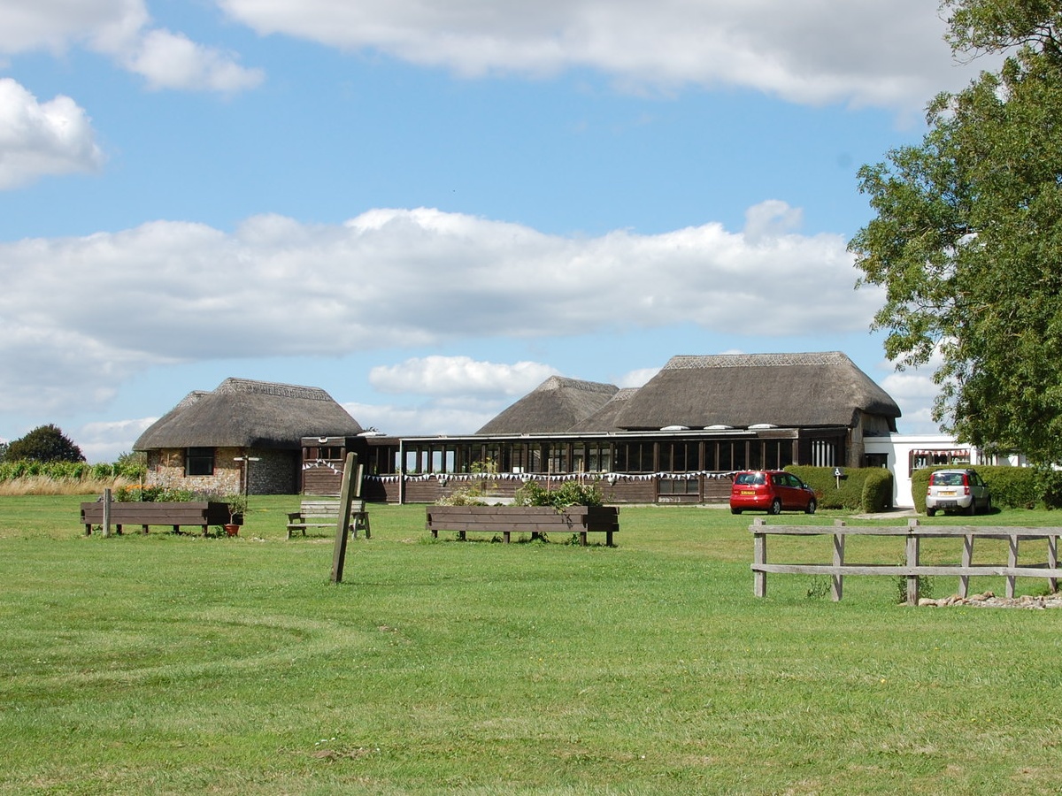
Lamb Hanger Images

Images are sourced within 2km of 50.912009/-0.62555341 or Grid Reference SU9613. Thanks to Geograph Open Source API. All images are credited.

View north from the South Downs Way The A285 passes through the dip in the Downs that you can see in the photo.
View north from the South Downs Way
The A285 passes through the dip in the Downs that you can see in the photo.
View NW towards Littleton Farm and beyond
Stubble - south of Bignor Hill car park
Sheep in the shade - near the neolithic camp
Tracks in the stubble This vivid yellow stubble is common hereabouts. I'm not sure what the crop was.
Tracks in the stubble
This vivid yellow stubble is common hereabouts. I'm not sure what the crop was.
View SW towards Bignor Hill and Glatting Beacon
Old Boundary Marker on Bignor Hill Estate Boundary Marker beside a wooden fence and the South Downs Way close to Toby's Stone monument. F (vertical line) L in raised lettering on north face. On the boundary of Bignor and Bury parishes but reported as an estate boundary marker on the Slindon Estate by the National Trust. Not shown on OS maps before 1914. 

Milestone Society National ID: SX_BIGBUR01em
Old Boundary Marker on Bignor Hill
Estate Boundary Marker beside a wooden fence and the South Downs Way close to Toby's Stone monument. F (vertical line) L in raised lettering on north face. On the boundary of Bignor and Bury parishes but reported as an estate boundary marker on the Slindon Estate by the National Trust. Not shown on OS maps before 1914. Milestone Society National ID: SX_BIGBUR01em
Memorial at the crash site of a Douglas Skytrain A close up of the memorial marking the crash site of a Douglas Skytrain, more commonly known as an American Dakota, which crashed in poor visibility on 11th February 1945, killing all 7 people on board. The plane had been returning to the UK from Europe on postal duties.

Having taken off from Paris to return to Wiltshire the plane was picked up by the radar at Tangmere airfield, noting that the plane was flying low over the South Downs, in low cloud and fog, on an East/West course. It was subsequently concluded that the pilot had been lost and thought that he was further south flying over the sea, presumably looking for a landmark on the coast to regain their position. Unfortunately, they were flying over a high point of the Downs and crashed on Sutton Down.

The loss of live is additionally marked by the Four Nations War Memorial in the Church nearby in Upwaltham. This also commemorates the loss of the 8 airmen who died when their Avro Lancaster crashed, almost exactly a year previously to the day, on the opposite side of the valley at Crown Tegleaze.
Memorial at the crash site of a Douglas Skytrain
A close up of the memorial marking the crash site of a Douglas Skytrain, more commonly known as an American Dakota, which crashed in poor visibility on 11th February 1945, killing all 7 people on board. The plane had been returning to the UK from Europe on postal duties. Having taken off from Paris to return to Wiltshire the plane was picked up by the radar at Tangmere airfield, noting that the plane was flying low over the South Downs, in low cloud and fog, on an East/West course. It was subsequently concluded that the pilot had been lost and thought that he was further south flying over the sea, presumably looking for a landmark on the coast to regain their position. Unfortunately, they were flying over a high point of the Downs and crashed on Sutton Down. The loss of live is additionally marked by the Four Nations War Memorial in the Church nearby in Upwaltham. This also commemorates the loss of the 8 airmen who died when their Avro Lancaster crashed, almost exactly a year previously to the day, on the opposite side of the valley at Crown Tegleaze.
South Downs Way climing Bignor Hill Public bridleway 2856.
South Downs Way climing Bignor Hill
Public bridleway 2856.
Track to Gumber Corner Public bridleway 2856/1.
Track to Gumber Corner
Public bridleway 2856/1.
Track to Glatting Beacon For a short distance the South Downs Way follows public bridleway 413 which then continues on to Upwaltham Hill.
Track to Glatting Beacon
For a short distance the South Downs Way follows public bridleway 413 which then continues on to Upwaltham Hill.
Glatting Farm Ford This bridleway ford is found in the entrance to Glatting Farm.
Glatting Farm Ford
This bridleway ford is found in the entrance to Glatting Farm.
Bignor Ford This ford is found close to Jay's Farm at Bignor.
Bignor Ford
This ford is found close to Jay's Farm at Bignor.
Field entrance off Glatting Lane
Crossing Paths near to Upwaltham Hill
Blue Skies over the Bridleway A glorious sunny day after heavy rains the day before meant that the walking was pleasant but heavy going in places.
Blue Skies over the Bridleway
A glorious sunny day after heavy rains the day before meant that the walking was pleasant but heavy going in places.
Junction of Bridleways Junction of Bridleways near Sutton Down.
Junction of Bridleways
Junction of Bridleways near Sutton Down.
Heading towards Stane Street Heading towards Stane Street on a very muddy Bridleway.
Heading towards Stane Street
Heading towards Stane Street on a very muddy Bridleway.
Show me another place!

Lamb Hanger is located at Grid Ref: SU9613 (Lat: 50.912009, Lng: -0.62555341)

Administrative County: West Sussex

District: Chichester

Police Authority: Sussex

What 3 Words

///bronzed.pursuit.multiples. Near Fontwell, West Sussex

Related Wikis

Duncton to Bignor Escarpment

Duncton to Bignor Escarpment is a 229-hectare (570-acre) biological Site of Special Scientific Interest west of Pulborough in West Sussex. It is a Special...

Barkhale Camp

Barkhale Camp is a Neolithic causewayed enclosure, an archaeological site on Bignor Hill, on the South Downs in West Sussex, England. Causewayed enclosures...

Bignor Hill

Bignor Hill is a hill near Bignor in Sussex. The South Downs Way passes over the hill. Near the summit are the remains of a memorial to Toby Wentworth...

Bignor

Bignor is a village and civil parish in the Chichester district of the English county of West Sussex, about six miles (9.7 km) north of Arundel. It is...

Sutton, West Sussex

Sutton is a village and civil parish in the District of Chichester in West Sussex, England, located six kilometres (4 miles) south of Petworth and east...

Upwaltham

Upwaltham is a scattered settlement and civil parish in the South Downs, in the District of Chichester of West Sussex, England. It surrounds a parish church...

Bignor Roman Villa

Bignor Roman Villa is a large Roman courtyard villa which has been excavated and put on public display on the Bignor estate in the English county of West...

Barlavington

Barlavington is a small village and civil parish in the Chichester district of West Sussex, England. The village is situated about four miles (6.4 km)...

Nearby Amenities

Located within 500m of 50.912009,-0.62555341
Addr Street: Stane Street
Ele: 245m
Man Made: survey_point
Note: Trig point
Lat/Long: 50.9093872/-0.6274221
Man Made: mast
Note: check position; couldn't actually get next to them
Lat/Long: 50.9096667/-0.6277007
Man Made: mast
Note: check position; couldn't actually get next to them
Lat/Long: 50.9092678/-0.6276635
Glatting Beacon
Ele: 245.6
Natural: peak
Lat/Long: 50.9094252/-0.6280832
Barrier: yes
Lat/Long: 50.9126553/-0.6190492
The data included in this document is from www.openstreetmap.org. The data is made available under ODbL.

Have you been to Lamb Hanger?

Leave your review of Lamb Hanger below (or comments, questions and feedback).