Kite Plantations
Wood, Forest in Lincolnshire North Kesteven
England
Kite Plantations
Kite Plantations, located in Lincolnshire, is a vast wooded area that is well-known for its picturesque beauty and rich biodiversity. Covering a significant portion of the county, this forested landscape is a popular destination for nature enthusiasts, hikers, and birdwatchers.
The plantation is named after the numerous kites, a species of bird of prey, that inhabit the area. These majestic creatures are often spotted soaring through the skies, adding to the charm and appeal of this natural haven. The forest is home to a diverse range of flora and fauna, with an array of tree species, including oak, birch, and beech, creating a vibrant and thriving ecosystem.
Visitors to Kite Plantations can explore the forest through a network of well-maintained trails, which offer stunning views and opportunities to observe wildlife in their natural habitat. The plantation also features designated picnic areas and camping spots, providing visitors with the chance to immerse themselves in the tranquility of the surroundings.
Birdwatchers flock to Kite Plantations to witness the spectacle of the kites in flight, as well as other bird species that call the area home. The forest is also a haven for various mammals, such as deer, foxes, and badgers, making it a prime location for wildlife enthusiasts.
Overall, Kite Plantations in Lincolnshire offers a unique and captivating experience for those seeking solace in nature. With its breathtaking scenery, diverse wildlife, and well-maintained facilities, it is a must-visit destination for anyone looking to connect with the natural world.
If you have any feedback on the listing, please let us know in the comments section below.
Kite Plantations Images
Images are sourced within 2km of 53.064008/-0.56049638 or Grid Reference SK9652. Thanks to Geograph Open Source API. All images are credited.
Kite Plantations is located at Grid Ref: SK9652 (Lat: 53.064008, Lng: -0.56049638)
Administrative County: Lincolnshire
District: North Kesteven
Police Authority: Lincolnshire
What 3 Words
///nipping.intensely.badge. Near Navenby, Lincolnshire
Nearby Locations
Related Wikis

Sir William Robertson Academy
Sir William Robertson Academy (formerly Sir William Robertson High School) is a coeducational secondary school of around 1000 pupils, situated in Welbourn...
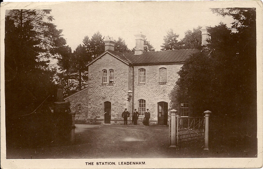
Leadenham railway station
Leadenham railway station was a railway station in Leadenham, Lincolnshire. It closed on 1 November 1965. The station was located on Main Road, being built...

Welbourn
Welbourn is a village and civil parish in the North Kesteven district of Lincolnshire, England. The population of the civil parish at the 2011 census was...
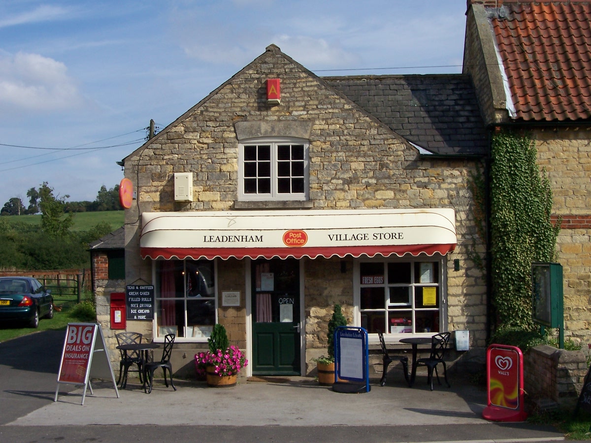
Leadenham
Leadenham is a village and civil parish in North Kesteven district of Lincolnshire, England. The population of the civil parish at the 2011 census was...
Nearby Amenities
Located within 500m of 53.064008,-0.56049638Have you been to Kite Plantations?
Leave your review of Kite Plantations below (or comments, questions and feedback).