Ludlow Hole Plantation
Wood, Forest in Lincolnshire North Kesteven
England
Ludlow Hole Plantation
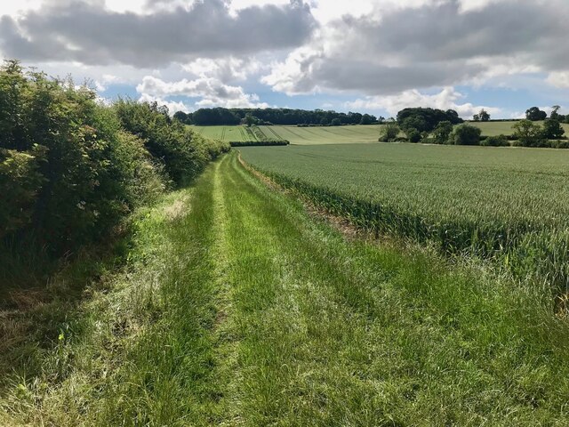
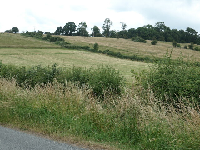
Ludlow Hole Plantation is a picturesque woodland located in the county of Lincolnshire, England. Situated near the town of Ludlow, the plantation spans over a vast area, covering approximately 500 acres of lush greenery. It is known for its dense forest, comprising mainly of deciduous trees, creating a serene and tranquil environment.
The plantation offers a diverse range of flora and fauna, making it a popular spot for nature enthusiasts and wildlife lovers. The canopy of trees provides a habitat for various bird species, including woodpeckers, owls, and warblers. Additionally, the undergrowth of the woodland is home to a variety of small mammals such as squirrels, foxes, and rabbits.
The plantation is also rich in plant life, with a wide array of native British species. Oak, beech, and birch trees dominate the landscape, creating an enchanting and idyllic setting. During the spring and summer months, the woodland floor is adorned with vibrant wildflowers such as bluebells, primroses, and wood anemones, adding a burst of color to the surroundings.
Ludlow Hole Plantation is a popular destination for outdoor activities, attracting visitors who enjoy walking, hiking, and cycling. The well-maintained trails meander through the woodland, allowing visitors to explore its natural beauty at their own pace. The plantation also has designated picnic areas, providing an opportunity for families and friends to enjoy a peaceful day out surrounded by nature.
Overall, Ludlow Hole Plantation is a captivating woodland retreat, offering a peaceful escape from the hustle and bustle of everyday life. Its diverse ecosystem and scenic beauty make it a cherished natural gem in Lincolnshire.
If you have any feedback on the listing, please let us know in the comments section below.
Ludlow Hole Plantation Images
Images are sourced within 2km of 53.062678/-0.56576387 or Grid Reference SK9652. Thanks to Geograph Open Source API. All images are credited.


![Building at Lincoln Road Industrial Estate, Leadenham This building [and others behind] are shown on the OS map surveyed in 1960 and look to date from the Second World War.](https://s0.geograph.org.uk/geophotos/07/22/05/7220596_c2b7163a.jpg)


Ludlow Hole Plantation is located at Grid Ref: SK9652 (Lat: 53.062678, Lng: -0.56576387)
Administrative County: Lincolnshire
District: North Kesteven
Police Authority: Lincolnshire
What 3 Words
///grading.dissolves.aboard. Near Navenby, Lincolnshire
Nearby Locations
Related Wikis

Sir William Robertson Academy
Sir William Robertson Academy (formerly Sir William Robertson High School) is a coeducational secondary school of around 1000 pupils, situated in Welbourn...
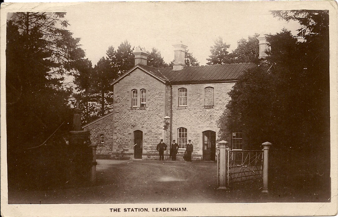
Leadenham railway station
Leadenham railway station was a railway station in Leadenham, Lincolnshire. It closed on 1 November 1965. The station was located on Main Road, being built...
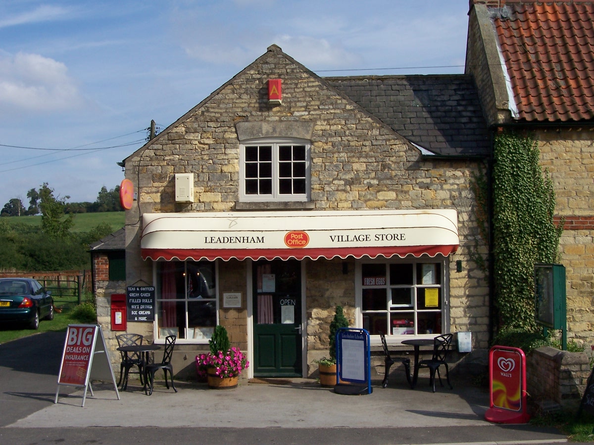
Leadenham
Leadenham is a village and civil parish in North Kesteven district of Lincolnshire, England. The population of the civil parish at the 2011 census was...

Welbourn
Welbourn is a village and civil parish in the North Kesteven district of Lincolnshire, England. The population of the civil parish at the 2011 census was...

Leadenham House
Leadenham House is a Grade II* listed Georgian country house in Leadenham, Lincolnshire, England.The house is constructed in '2½ storeys' of ashlar and...

St Nicholas' Church, Fulbeck
St Nicholas' Church is a Grade I listed Church of England parish church dedicated to Saint Nicholas, in Fulbeck, Lincolnshire, England. The church is 9...
Claypole Rural District
Claypole was a rural district in Lincolnshire, Parts of Kesteven from 1894 to 1931. It was formed under the Local Government Act 1894 from that part of...
Fulbeck
Fulbeck is a small village and civil parish in the South Kesteven district of Lincolnshire, England. The population (including Byards Leap) taken at the...
Nearby Amenities
Located within 500m of 53.062678,-0.56576387Have you been to Ludlow Hole Plantation?
Leave your review of Ludlow Hole Plantation below (or comments, questions and feedback).