Highbeech Plantation
Wood, Forest in Surrey Waverley
England
Highbeech Plantation

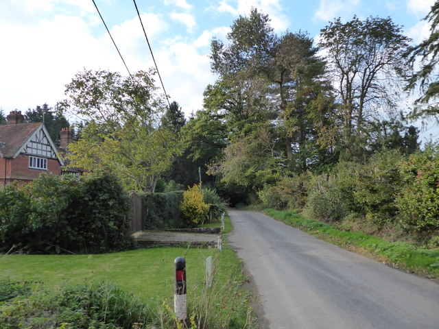
Highbeech Plantation, located in Surrey, England, is a stunning woodland area known for its natural beauty and rich history. Spanning over 500 acres, this vast plantation is situated within the larger Epping Forest, a protected area renowned for its ancient woodlands.
The woodland at Highbeech is predominantly made up of beech trees, giving the plantation its name. These majestic trees create a dense canopy, providing a sense of tranquility and shelter for the diverse wildlife that resides within the area. The forest floor is adorned with a variety of wildflowers and ferns, creating a vibrant and colorful landscape during the spring and summer months.
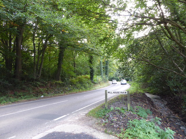
Highbeech Plantation boasts a network of well-maintained trails, making it a popular destination for nature enthusiasts and outdoor enthusiasts alike. Visitors can explore the woodland on foot or by bike, taking in the sights and sounds of the natural surroundings. The plantation is also home to a designated picnic area, allowing visitors to relax and enjoy a meal amidst the serene woodland setting.
In addition to its natural beauty, Highbeech Plantation holds historical significance. It was once part of the hunting grounds for the Tudor monarchs and has been a popular recreational area for centuries. Today, the plantation is managed by the City of London Corporation, which ensures its preservation and conservation for future generations to enjoy.
Highbeech Plantation offers a peaceful and picturesque escape from the bustling city life, providing a haven for both nature lovers and history enthusiasts alike.
If you have any feedback on the listing, please let us know in the comments section below.
Highbeech Plantation Images
Images are sourced within 2km of 51.100864/-0.62618837 or Grid Reference SU9634. Thanks to Geograph Open Source API. All images are credited.


Highbeech Plantation is located at Grid Ref: SU9634 (Lat: 51.100864, Lng: -0.62618837)
Administrative County: Surrey
District: Waverley
Police Authority: Surrey
What 3 Words
///synthetic.shop.extremely. Near Chiddingfold, Surrey
Related Wikis

Pickhurst
Pickhurst is a grade II* listed house set in 130 acres (53 ha) of land near Chiddingfold, Surrey, England. == History == It was designed by the Scottish...

Chiddingfold
Chiddingfold is a village and civil parish in the Weald in the Waverley district of Surrey, England. It lies on the A283 road between Milford and Petworth...

St Teresa of Avila Church, Chiddingfold
St Teresa of Avila Church is a Roman Catholic Parish church in Chiddingfold, Surrey. It is situated on the corner of Petworth Road and Woodside Road in...

The Farm (recording studio)
The Farm (also known as Fisher Lane Farm) was a recording studio in Chiddingfold, Surrey owned by the rock band Genesis. The group bought the property...

Ramster
Ramster Garden is an open garden, near Chiddingfold, Surrey, covering over 20 acres (81,000 m2). First landscaped and laid out in the 1890s by Gauntlett...

Shillinglee
Shillinglee is an 18th-century house and estate in West Sussex, England near the Surrey border, in between the villages of Chiddingfold and Plaistow. It...

Ramsnest Common
Ramsnest Common is a hamlet in the far south of the Borough of Waverley, the largest district of Surrey, England centred on the A283 1.5 miles (2.4 km...

Netherside Stream Outcrops
Netherside Stream Outcrops is a 2.9-hectare (7.2-acre) geological Site of Special Scientific Interest north-east of Haslemere in Surrey. It is a Geological...
Nearby Amenities
Located within 500m of 51.100864,-0.62618837Have you been to Highbeech Plantation?
Leave your review of Highbeech Plantation below (or comments, questions and feedback).