Brownage Wood
Wood, Forest in Bedfordshire
England
Brownage Wood
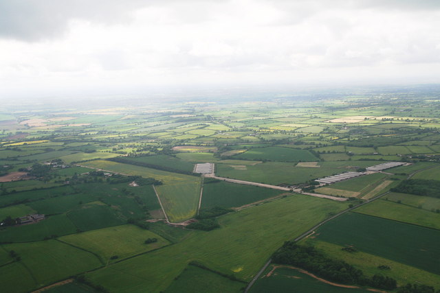
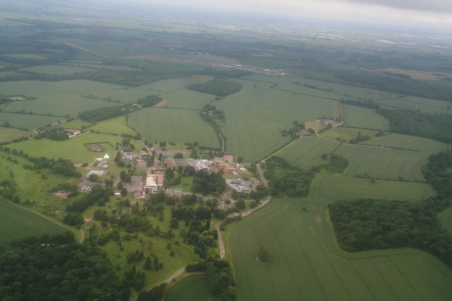
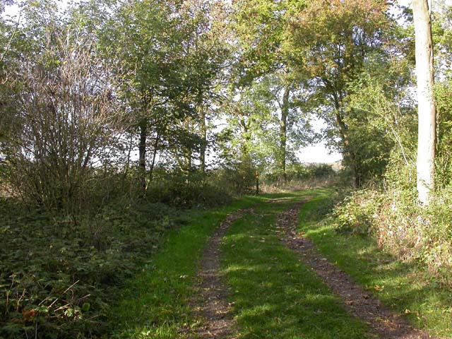
Brownage Wood is a beautiful and expansive woodland located in the county of Bedfordshire, England. Covering an area of approximately 100 hectares, it is a popular destination for nature lovers and outdoor enthusiasts. The wood is situated near the village of Brownage, offering a serene and peaceful environment for visitors to enjoy.
The woodland is predominantly made up of broadleaf trees, including oak, ash, beech, and birch. These trees create a dense canopy that provides shade and shelter for a diverse range of wildlife. Brownage Wood is home to a variety of bird species, such as woodpeckers, owls, and warblers, making it a great spot for birdwatching.
A network of well-maintained footpaths and trails meanders through the wood, allowing visitors to explore its natural beauty. These paths are suitable for both casual walkers and more experienced hikers, offering different routes of varying lengths and difficulty levels. Along the way, walkers are treated to scenic views of the wood's flora and fauna, including wildflowers, ferns, and mushrooms.
Furthermore, Brownage Wood is also known for its historical significance. It has evidence of Iron Age settlements and Roman activity, with archaeological finds including pottery and ancient tools. This adds an extra layer of interest and intrigue to the woodland, making it a fascinating place to visit for history enthusiasts.
Overall, Brownage Wood is a captivating woodland that offers a tranquil escape from the hustle and bustle of everyday life. With its diverse wildlife, well-maintained footpaths, and rich historical background, it is a place that truly has something for everyone.
If you have any feedback on the listing, please let us know in the comments section below.
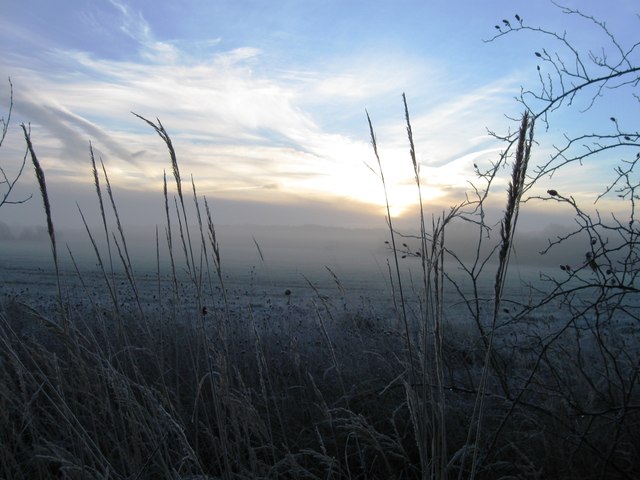
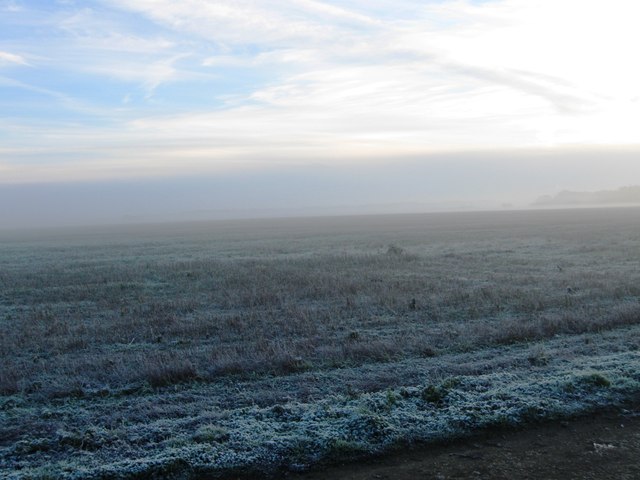
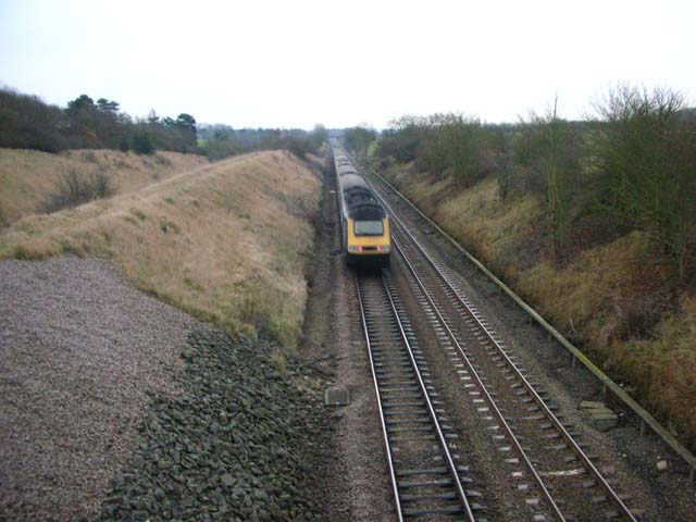
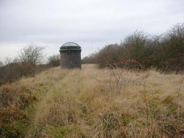
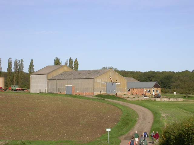
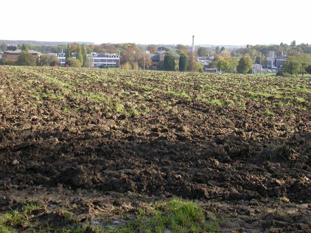
Brownage Wood Images
Images are sourced within 2km of 52.235669/-0.59293591 or Grid Reference SP9660. Thanks to Geograph Open Source API. All images are credited.


Brownage Wood is located at Grid Ref: SP9660 (Lat: 52.235669, Lng: -0.59293591)
Unitary Authority: Bedford
Police Authority: Bedfordshire
What 3 Words
///suppers.litigate.heavy. Near Podington, Bedfordshire
Nearby Locations
Related Wikis

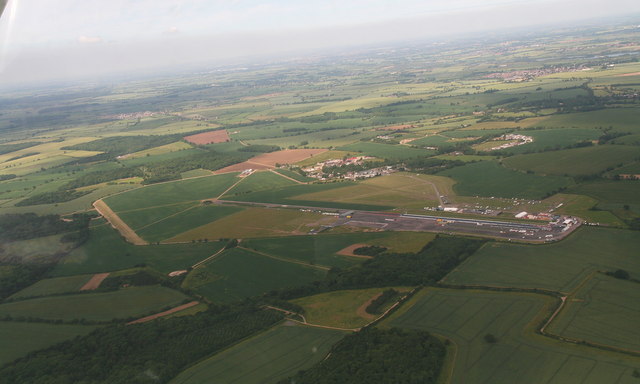
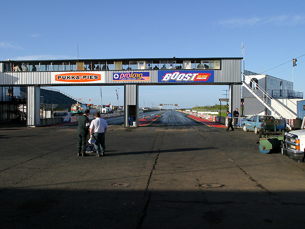
Santa Pod Raceway
Santa Pod Raceway is Europe's first permanent drag racing venue for 1⁄4 mile (1,300 ft; 0.40 km) and 1⁄8 mile (660 ft; 0.20 km) racing. Located in Podington...

Sharnbrook Summit
Sharnbrook Summit is a nature reserve between the villages of Sharnbrook and Wymington in Bedfordshire. It has an area of approximately nine hectares,...

North East Bedfordshire (UK Parliament constituency)
North East Bedfordshire is a constituency represented in the House of Commons of the Parliament of the United Kingdom since 2019 by Richard Fuller, of...

Wymington Meadow
Wymington Meadow is a nature reserve south of Wymington in Bedfordshire. It is approximately one hectare, and is managed by the Wildlife Trust for Bedfordshire...
Church of All Saints, Odell, Bedfordshire
Church of All Saints is a Grade I listed church in Odell, Bedfordshire, England. It became a listed building on 13 July 1964.The church is a fine example...
Odell Castle
Odell Castle was an 11th-century castle in the village of Odell, in the county of Bedfordshire, England. The land where Odell Castle stood was originally...

Sharnbrook Academy
Sharnbrook Academy, formerly Sharnbrook Upper School until 2017, is a large, rural academy school located in Sharnbrook, a village in the English county...

Church of St Mary, Podington
Church of St Mary, or St Mary the Virgin, is a Grade I listed church in Podington, Bedfordshire, England. It became a listed building on 13 July 1964,...
Nearby Amenities
Located within 500m of 52.235669,-0.59293591Have you been to Brownage Wood?
Leave your review of Brownage Wood below (or comments, questions and feedback).