Pheasant Copse
Wood, Forest in Sussex Chichester
England
Pheasant Copse
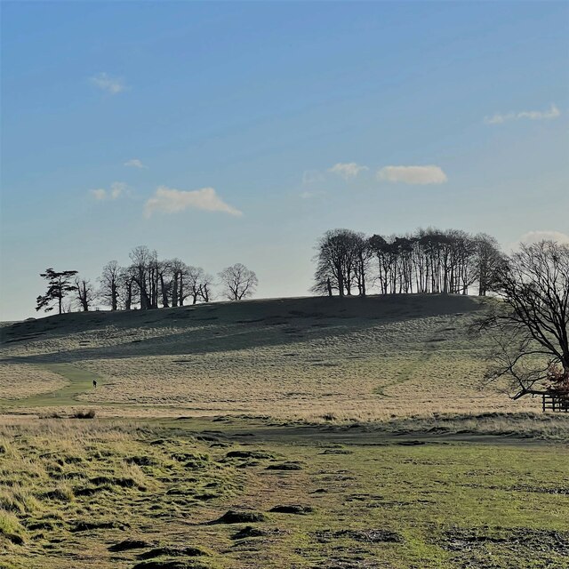
Pheasant Copse is a picturesque woodland located in the county of Sussex, England. Situated near the village of Sussex Downs, this forested area covers approximately 100 acres of land and is known for its natural beauty and diverse wildlife.
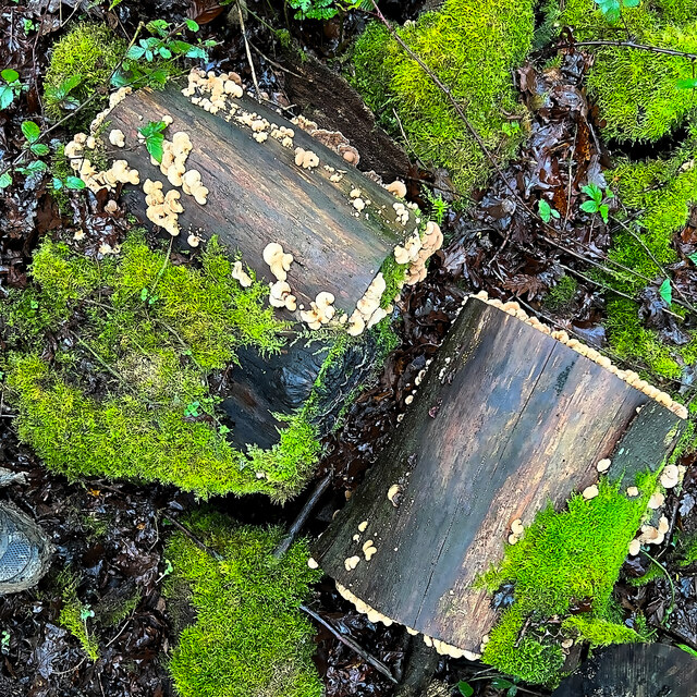
The copse is predominantly composed of native tree species such as oak, beech, and ash, which create a dense canopy overhead, allowing only dappled sunlight to filter through to the forest floor. This creates a tranquil and shaded environment, perfect for leisurely walks and nature exploration.
One of the notable features of Pheasant Copse is the abundance of wildlife that calls it home. Visitors may be fortunate enough to spot various bird species, including pheasants, woodpeckers, and owls. The woodland also provides a habitat for small mammals such as foxes, rabbits, and squirrels. In spring, the forest floor is adorned with a vibrant carpet of bluebells, creating a stunning sight for visitors.
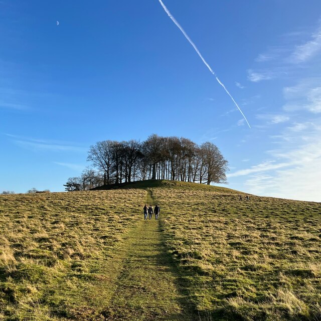
The copse is popular among nature enthusiasts, hikers, and families looking to escape the hustle and bustle of everyday life. There are several marked trails throughout the woodland, allowing visitors to explore the area at their own pace. These trails provide an opportunity to discover hidden gems such as a small stream that runs through the copse and a secluded picnic area.
Pheasant Copse offers a peaceful and idyllic setting, making it a cherished natural gem in the heart of Sussex. Whether it's for a leisurely stroll, birdwatching, or simply enjoying the serenity of nature, this woodland is a must-visit destination for anyone seeking a connection with the great outdoors.
If you have any feedback on the listing, please let us know in the comments section below.
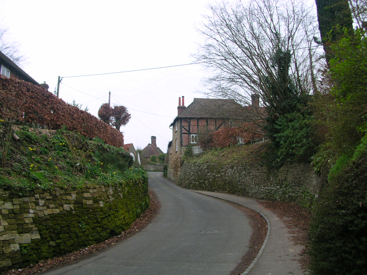
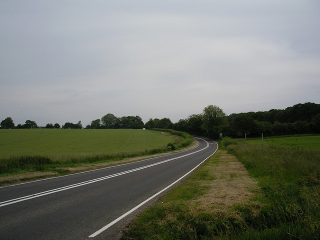
Pheasant Copse Images
Images are sourced within 2km of 51.009412/-0.63496409 or Grid Reference SU9524. Thanks to Geograph Open Source API. All images are credited.


Pheasant Copse is located at Grid Ref: SU9524 (Lat: 51.009412, Lng: -0.63496409)
Administrative County: West Sussex
District: Chichester
Police Authority: Sussex
What 3 Words
///hardly.shelving.juggles. Near Petworth, West Sussex
Nearby Locations
Related Wikis

Pitshill
Pitshill is a Grade II* listed house built in the neoclassical style and is located within the Parish of Tillington a couple of miles west of Petworth...
Upperton, West Sussex
Upperton is a hamlet in the Chichester district of West Sussex, England. Part of Tillington civil parish it lies on the Tillington to Lurgashall road 1...

Tillington, West Sussex
Tillington is a village, ecclesiastical parish and civil parish in the District of Chichester in West Sussex, England, 1 mile (1.6 km) west of Petworth...
A272 road
The A272 is a road in southeast England. It follows an approximate east–west route from near Heathfield, East Sussex to the city of Winchester, Hampshire...

Balls Cross
Balls Cross is a hamlet in Ebernoe civil parish in the Chichester District of West Sussex, England.The hamlet comprises a few houses together with a small...
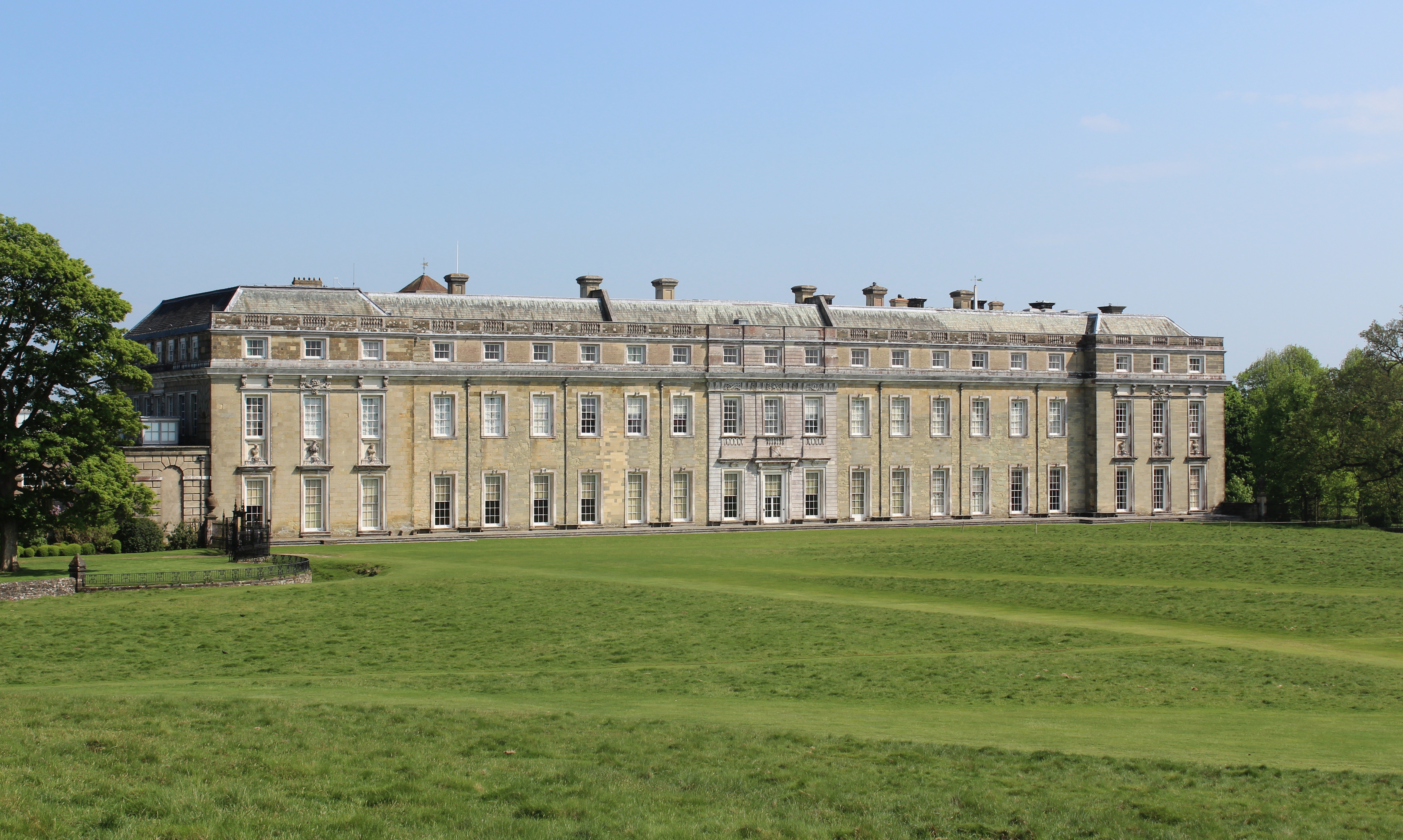
Petworth House
Petworth House in the parish of Petworth, West Sussex, England, is a late 17th-century Grade I listed country house, rebuilt in 1688 by Charles Seymour...

Petworth Park New Ground
Petworth Park New Ground is a cricket ground in the shadow of Petworth House, Petworth, Sussex. The first recorded match on the ground was in 1844, when...

Petworth Park
Petworth Park at Petworth, Sussex was used as the venue for three first-class cricket matches between 1824 and 1826. The ground was in front of the main...
Nearby Amenities
Located within 500m of 51.009412,-0.63496409Have you been to Pheasant Copse?
Leave your review of Pheasant Copse below (or comments, questions and feedback).