Great Copse

Wood, Forest in Surrey Waverley

England

Great Copse

Old Milestone, A283, Cripplecrutch Hill, Ramsnest Common The milestone, is located 270 m south of the Mulberry Inn on the North West side of the road in the bushes at the back of the verge. Parish of Chiddingfold (Waverley District).  Carved stone post, Petworth stone design, erected by the Petworth turnpike trust in the 18th century.

Inscription reads:-   HYDE PARK CORNER / 40 MILES / PETWORTH / 7 MILES / GODALMING / 8 MILES / CHIDDINGFOLD / 2 MILES

Milestone Society National ID: SY_LMP40
Old Milestone, A283, Cripplecrutch Hill, Ramsnest Common Credit: George Fitt

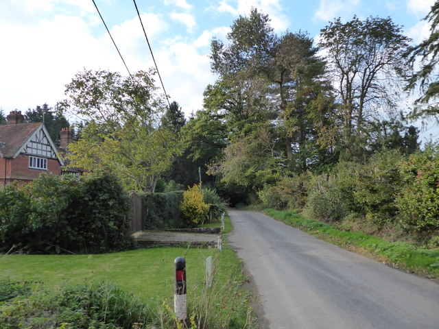
Great Copse is a picturesque woodland located in the county of Surrey, England. Covering an area of approximately 50 acres, it is nestled within the beautiful countryside, offering a serene and tranquil escape for nature enthusiasts and outdoor lovers.

The copse is characterized by a diverse range of tree species, including oak, beech, ash, and birch, which create a dense and lush canopy overhead. This variety of trees provides a rich habitat for a wide array of bird species, such as woodpeckers, thrushes, and owls, making it a popular spot for birdwatching.

Walking through the copse, visitors are greeted by a carpet of vibrant bluebells during the spring season, creating a stunning display of color. The woodland floor is also adorned with other wildflowers, such as primroses and violets, adding to the area's natural beauty.

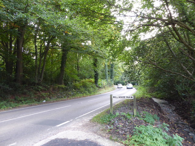
Great Copse offers several well-maintained footpaths that allow visitors to explore the woodland at their own pace. These paths wind their way through the trees, providing opportunities for peaceful strolls and invigorating hikes. The copse is also home to a small stream, which adds to the enchanting atmosphere and provides a soothing soundtrack as it gently meanders through the woodland.

Due to its natural beauty and accessibility, Great Copse attracts both locals and tourists alike. It offers a peaceful retreat from the hustle and bustle of everyday life, where visitors can immerse themselves in the wonders of nature and experience the calming effect of this idyllic woodland setting.

If you have any feedback on the listing, please let us know in the comments section below.
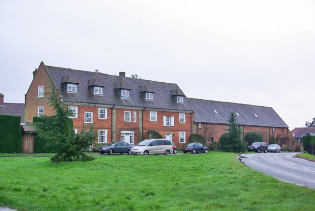
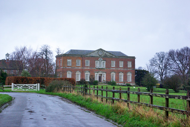
Great Copse Images

Images are sourced within 2km of 51.096207/-0.63243871 or Grid Reference SU9533. Thanks to Geograph Open Source API. All images are credited.

Old Milestone, A283, Cripplecrutch Hill, Ramsnest Common The milestone, is located 270 m south of the Mulberry Inn on the North West side of the road in the bushes at the back of the verge. Parish of Chiddingfold (Waverley District).  Carved stone post, Petworth stone design, erected by the Petworth turnpike trust in the 18th century.

Inscription reads:-   HYDE PARK CORNER / 40 MILES / PETWORTH / 7 MILES / GODALMING / 8 MILES / CHIDDINGFOLD / 2 MILES

Milestone Society National ID: SY_LMP40
Old Milestone, A283, Cripplecrutch Hill, Ramsnest Common
The milestone, is located 270 m south of the Mulberry Inn on the North West side of the road in the bushes at the back of the verge. Parish of Chiddingfold (Waverley District). Carved stone post, Petworth stone design, erected by the Petworth turnpike trust in the 18th century. Inscription reads:- HYDE PARK CORNER / 40 MILES / PETWORTH / 7 MILES / GODALMING / 8 MILES / CHIDDINGFOLD / 2 MILES Milestone Society National ID: SY_LMP40
Ridgley Road at the junction of Coxcomb Lane
Shops on The Green, Chiddingfold
Shops on The Green, Chiddingfold A very small Boots, one of the few large chains who kept their village shops as well.
Shops on The Green, Chiddingfold
A very small Boots, one of the few large chains who kept their village shops as well.
House on The Green, Chiddingfold
Where am I? Cripplecrutch Hill, Ramsnest Common
Where am I?
Cripplecrutch Hill, Ramsnest Common
The entrance to Ramster Garden
Petworth Road, Ramsnest Common
Petworth Road, Chiddingfold
Old house on Petworth Road, Chiddingfold
Exploring eastwards  along the Bashire (4) Looking west-northwest along Killinghurst Lane
Running total: 23 B points
Exploring eastwards along the Bashire (4)
Looking west-northwest along Killinghurst Lane Running total: 23 B points
Exploring eastwards along the Bashire (5) Guess where I am on the A283!
Running total: 24 B points
Exploring eastwards along the Bashire (5)
Guess where I am on the A283! Running total: 24 B points
Exploring eastwards along the Bashire (6) Looking from Shillinglee Park Road into Pickhurst Road
Running total: 25 B points
Exploring eastwards along the Bashire (6)
Looking from Shillinglee Park Road into Pickhurst Road Running total: 25 B points
Exploring eastwards along the Bashire (7) Footpath sign opposite Robin Farm Racing Stables
Exploring eastwards along the Bashire (7)
Footpath sign opposite Robin Farm Racing Stables
Converted stables and barn, Shillinglee Early 18th century, grade II listed.
Converted stables and barn, Shillinglee
Early 18th century, grade II listed.
House, Shillinglee Park A grade II*(star) listed building from 1735 and 1770s. Gutted by fire 1943, restored and converted to flats in the 1970s.
House, Shillinglee Park
A grade II*(star) listed building from 1735 and 1770s. Gutted by fire 1943, restored and converted to flats in the 1970s.
Show me another place!

Great Copse is located at Grid Ref: SU9533 (Lat: 51.096207, Lng: -0.63243871)

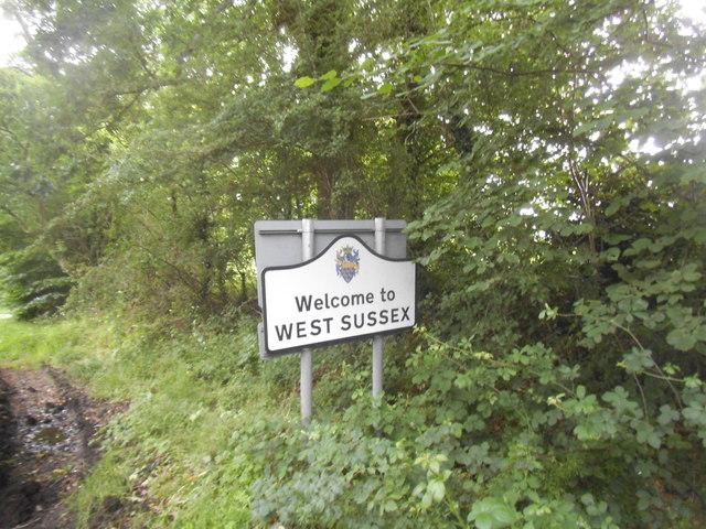
Administrative County: Surrey

District: Waverley

Police Authority: Surrey

What 3 Words

///fraction.outline.cupboards. Near Chiddingfold, Surrey

Related Wikis

Pickhurst

Pickhurst is a grade II* listed house set in 130 acres (53 ha) of land near Chiddingfold, Surrey, England. == History == It was designed by the Scottish...

Ramster

Ramster Garden is an open garden, near Chiddingfold, Surrey, covering over 20 acres (81,000 m2). First landscaped and laid out in the 1890s by Gauntlett...

Ramsnest Common

Ramsnest Common is a hamlet in the far south of the Borough of Waverley, the largest district of Surrey, England centred on the A283 1.5 miles (2.4 km...

Netherside Stream Outcrops

Netherside Stream Outcrops is a 2.9-hectare (7.2-acre) geological Site of Special Scientific Interest north-east of Haslemere in Surrey. It is a Geological...

Shillinglee

Shillinglee is an 18th-century house and estate in West Sussex, England near the Surrey border, in between the villages of Chiddingfold and Plaistow. It...

Chiddingfold

Chiddingfold is a village and civil parish in the Weald in the Waverley district of Surrey, England. It lies on the A283 road between Milford and Petworth...

The Farm (recording studio)

The Farm (also known as Fisher Lane Farm) was a recording studio in Chiddingfold, Surrey owned by the rock band Genesis. The group bought the property...

St Teresa of Avila Church, Chiddingfold

St Teresa of Avila Church is a Roman Catholic Parish church in Chiddingfold, Surrey. It is situated on the corner of Petworth Road and Woodside Road in...

Nearby Amenities

Located within 500m of 51.096207,-0.63243871
Barrier: stile
Lat/Long: 51.0927471/-0.6279988
Barrier: stile
Lat/Long: 51.0981174/-0.6377774
Barrier: stile
Lat/Long: 51.0947387/-0.6359039
The data included in this document is from www.openstreetmap.org. The data is made available under ODbL.

Have you been to Great Copse?

Leave your review of Great Copse below (or comments, questions and feedback).