California Belt

Wood, Forest in Yorkshire Scarborough

England

California Belt

Moor Lane meets Moor Road A road junction in the NW corner of the grid square with a forest track ahead.
Moor Lane meets Moor Road Credit: Gordon Hatton

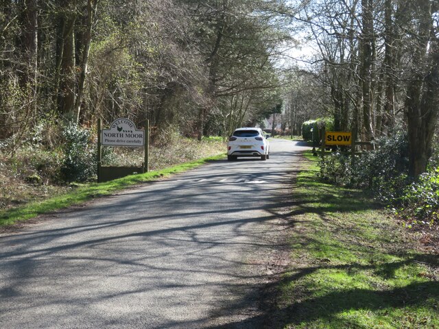
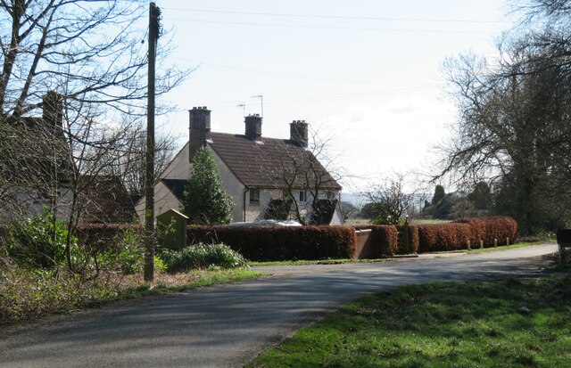
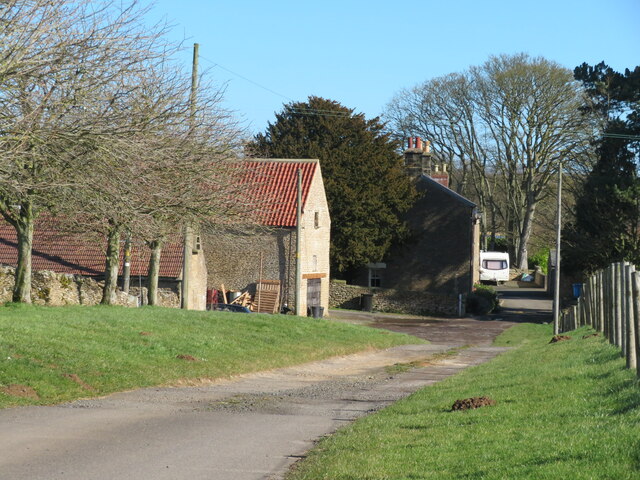
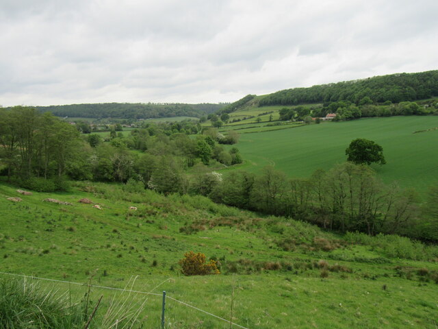
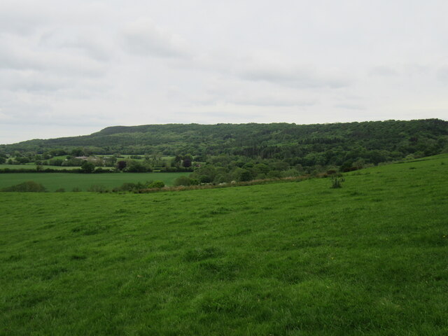
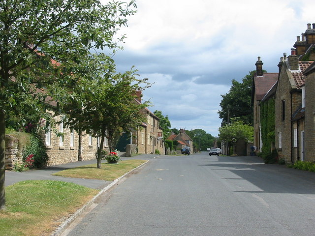
California Belt is a small, picturesque village located in the county of Yorkshire, England. Situated in the heart of the Wood Forest, the village is known for its stunning natural beauty and rich history. With a population of around 500 residents, it offers a peaceful and close-knit community atmosphere.

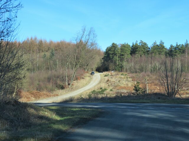
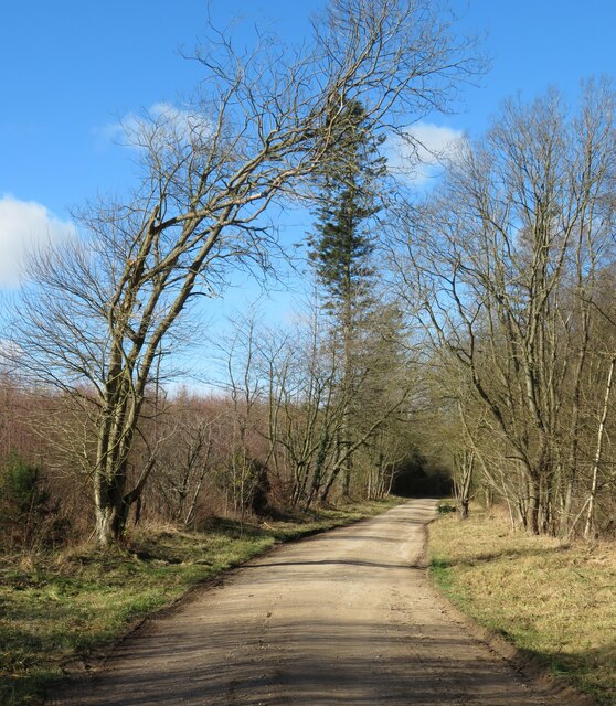
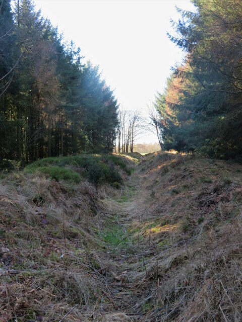
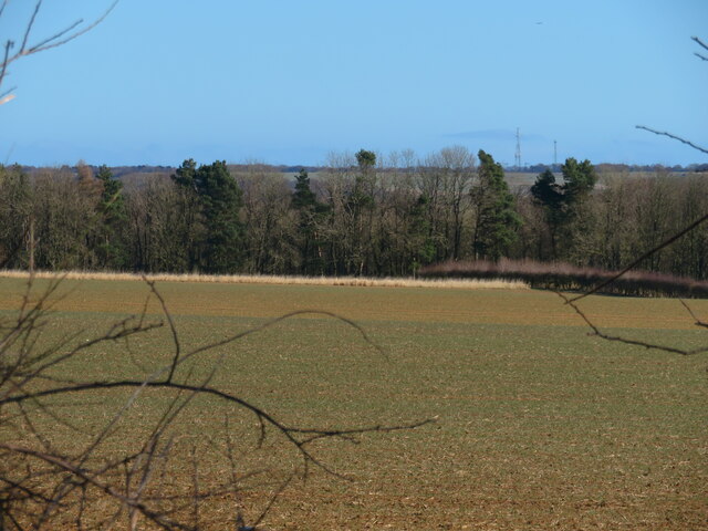
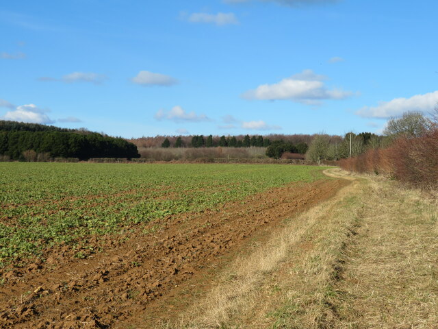
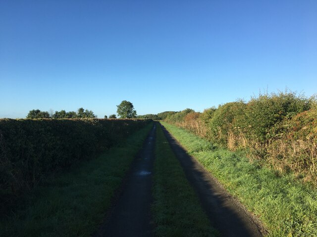
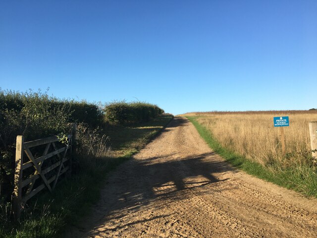
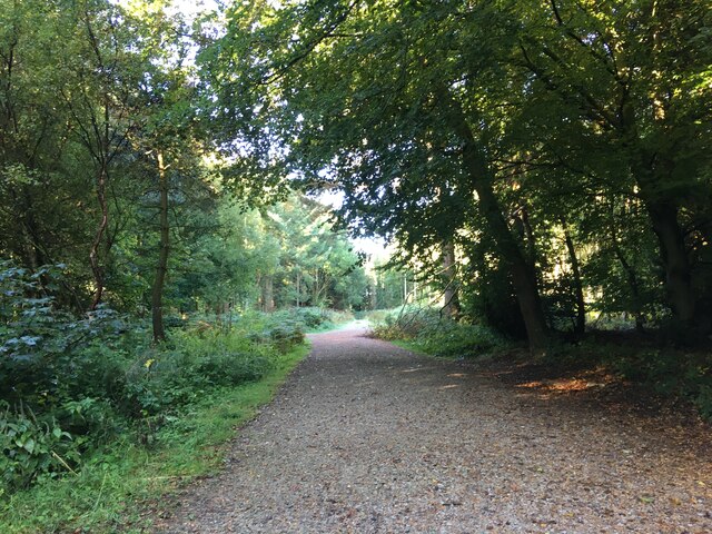
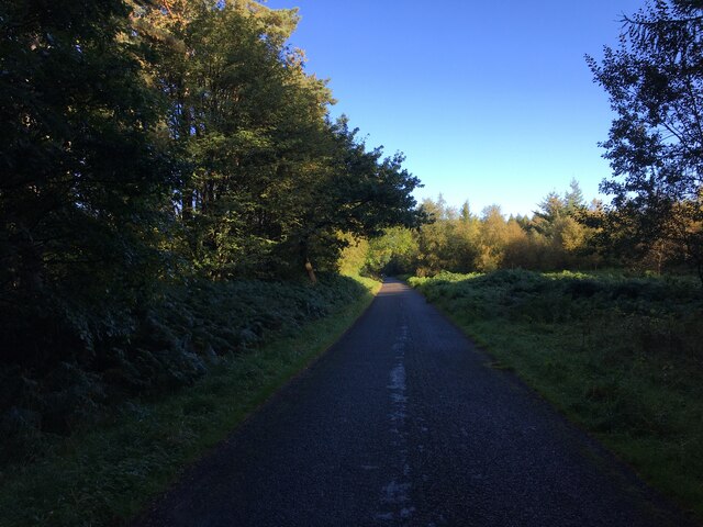
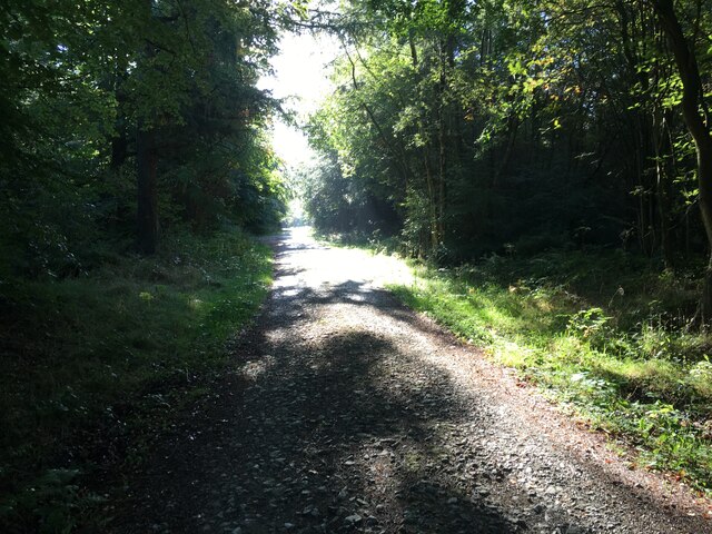
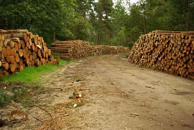
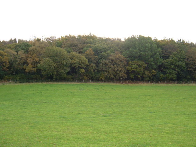
The Wood Forest surrounding California Belt is one of the largest and most diverse woodland areas in Yorkshire. It covers an expansive area, providing ample opportunities for outdoor activities such as hiking, bird-watching, and nature photography. The forest is home to a variety of tree species, including oak, beech, and birch, which create a lush and vibrant environment throughout the year.

In addition to its natural wonders, California Belt boasts a rich history dating back centuries. The village is home to several historical landmarks, including St. Peter's Church, which dates back to the 12th century. The church features stunning architecture and is a popular destination for history enthusiasts and tourists alike.

The village also offers a range of amenities for its residents and visitors, including charming local shops, cafes, and pubs. The community takes pride in preserving its heritage and maintaining a strong sense of community spirit.

Overall, California Belt, Yorkshire (Wood, Forest) is a hidden gem in the heart of Yorkshire, offering a perfect blend of natural beauty, history, and community spirit. It is a destination that attracts both nature lovers and those seeking a tranquil village experience.

If you have any feedback on the listing, please let us know in the comments section below.

California Belt Images

Images are sourced within 2km of 54.271905/-0.53147546 or Grid Reference SE9587. Thanks to Geograph Open Source API. All images are credited.

Moor Lane meets Moor Road A road junction in the NW corner of the grid square with a forest track ahead.
Moor Lane meets Moor Road
A road junction in the NW corner of the grid square with a forest track ahead.
Forest bridleway Bridleway number 30.2/012 heading west through the forest, which at about this point becomes open access, which seems odd as all of Wykeham Forest appears to be accessible to the public.
Forest bridleway
Bridleway number 30.2/012 heading west through the forest, which at about this point becomes open access, which seems odd as all of Wykeham Forest appears to be accessible to the public.
Rise Dikes The section of dike to the west of Moor Road which is rather better preserved than that on the east side. A scheduled ancient monument, the dike is thought to date back to the middle Bronze Age period and probably represents part of a system of territorial land division. The dike has been largely destroyed where it crosses farmland, but would once have crossed the rigg between Sawdon Dale to the west and Bee Dale to the east.
Rise Dikes
The section of dike to the west of Moor Road which is rather better preserved than that on the east side. A scheduled ancient monument, the dike is thought to date back to the middle Bronze Age period and probably represents part of a system of territorial land division. The dike has been largely destroyed where it crosses farmland, but would once have crossed the rigg between Sawdon Dale to the west and Bee Dale to the east.
Welcome to North Moor A sign on Moor Road at the northern end of this tiny community on the edge of the forest.
Welcome to North Moor
A sign on Moor Road at the northern end of this tiny community on the edge of the forest.
Houses at North Moor North Moor is no more than a scattered hamlet at the southern edge of Wykeham Forest. The name doesn't appear on old maps and the only residence shown on maps of pre 1950 date is that of Wykeham Low Moor House in the same place as Wykeham Moor Cottages are shown on current OS maps. I suspect that the group of houses shown here may have been built for forestry workers as they first appear on the OS map of 1950.
Houses at North Moor
North Moor is no more than a scattered hamlet at the southern edge of Wykeham Forest. The name doesn't appear on old maps and the only residence shown on maps of pre 1950 date is that of Wykeham Low Moor House in the same place as Wykeham Moor Cottages are shown on current OS maps. I suspect that the group of houses shown here may have been built for forestry workers as they first appear on the OS map of 1950.
Farmland and forest at North Moor The only view possible through the hedgerow from a corner of the square. Some rather dull farmland with the edge of the forest beyond.
Farmland and forest at North Moor
The only view possible through the hedgerow from a corner of the square. Some rather dull farmland with the edge of the forest beyond.
Wykeham Grange Farm on the Tabular Hills above Wykeham. It's always possible that any farm in North Yorkshire which has 'grange' as part of the name might have links to the medieval monastic grange system, but without further research I'm not sure about this one.
Wykeham Grange
Farm on the Tabular Hills above Wykeham. It's always possible that any farm in North Yorkshire which has 'grange' as part of the name might have links to the medieval monastic grange system, but without further research I'm not sure about this one.
Field edge, Low Moor Looking north towards the edge of Wykeham Forest.
Field edge, Low Moor
Looking north towards the edge of Wykeham Forest.
Near North Stile Cottage Looking towards Everley.
Near North Stile Cottage
Looking towards Everley.
Looking towards Raincliffe Woods Looking east.
Looking towards Raincliffe Woods
Looking east.
Red Admiral on Great Moor Road A Red Admiral resting on Great Moor Road.
Red Admiral on Great Moor Road
A Red Admiral resting on Great Moor Road.
Great Moor Road view Looking east from Great Moor Road.
Great Moor Road view
Looking east from Great Moor Road.
Far Lane near Ancat Farm
Farm track near Hutton Buscel
Forest track, Wykeham Forest
Minor road in Wykeham Forest
Forestry road, Wykeham Forest
Show me another place!

California Belt is located at Grid Ref: SE9587 (Lat: 54.271905, Lng: -0.53147546)

Division: North Riding

Administrative County: North Yorkshire

District: Scarborough

Police Authority: North Yorkshire

What 3 Words

///diplomas.lawn.jabs. Near East Ayton, North Yorkshire

Related Wikis

Wykeham Forest

Wykeham Forest is a 2,760-acre (1,115-hectare) woodland 6 miles (9.7 km) in the North York Moors National Park, near to Wykeham, west of Scarborough, England...

Forge Valley

Forge Valley is a national nature reserve in the Scarborough district of North Yorkshire, England, located within the North York Moors National Park on...

Sawdon

Sawdon is a village in the civil parish of Brompton, in North Yorkshire, England, about 8 miles (13 km) west of Scarborough.The village lies 1.75 miles...

Suffield-cum-Everley

Suffield-cum-Everley is a civil parish in the Scarborough district of North Yorkshire, England. According to the 2011 UK census, the parish (including...

Hutton Buscel

Hutton Buscel is a village and civil parish in the Scarborough district of North Yorkshire, England. According to the 2011 UK census, Hutton Buscel parish...

Hackness

Hackness is a village and civil parish in the Scarborough district of the county of North Yorkshire, England. It lies within the North York Moors National...

Ayton Castle, North Yorkshire

Ayton Castle is a ruined Grade I listed 14th century pele tower castle near West Ayton, North Yorkshire, England. == Location == The castle is sited at...

Raincliffe Woods

Raincliffe Woods are situated to the north-west of Scarborough, North Yorkshire, England. They form an "L" shape with Forge Valley Woods and the River...

Have you been to California Belt?

Leave your review of California Belt below (or comments, questions and feedback).