Blue Close Wood

Wood, Forest in Buckinghamshire

England

Blue Close Wood

Beaconsfield's "road to nowhere" This empty half-built relief road was at the centre of a dispute between Buckinghamshire Council and developers over the number of affordable homes planned for nearby Wilton Park, where the carriageway abruptly terminates.

The Bucks Free Press carried a report on the stand-off in September 2018.  <span class="nowrap"><a title="https://www.bucksfreepress.co.uk/news/16862169.revealed-inland-homes-threatens-withdraw-plans-350-homes-wilton-park-refuse-build-section-much-needed-relief-road/" rel="nofollow ugc noopener" href="https://www.bucksfreepress.co.uk/news/16862169.revealed-inland-homes-threatens-withdraw-plans-350-homes-wilton-park-refuse-build-section-much-needed-relief-road/">Link</a><img style="margin-left:2px;" alt="External link" title="External link - shift click to open in new window" src="https://s1.geograph.org.uk/img/external.png" width="10" height="10"/></span>
Beaconsfield's "road to nowhere" Credit: Mark Percy

Blue Close Wood is a picturesque woodland located in Buckinghamshire, England. Covering an area of approximately 40 hectares, it is a natural haven for wildlife and a popular destination for nature lovers and outdoor enthusiasts.

The wood is mainly composed of broadleaf trees, including oak, beech, and birch, which create a dense canopy that provides shade and shelter for the diverse range of flora and fauna found within. Bluebells carpet the forest floor in spring, creating a stunning display of vibrant blue hues.

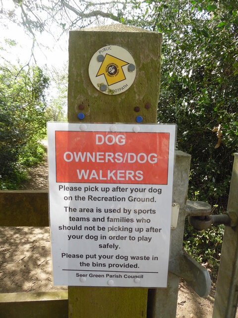
The wood is intersected by a network of well-maintained footpaths and trails, allowing visitors to explore the area and enjoy the tranquil surroundings. These pathways offer stunning views of the woodland and its inhabitants, such as deer, foxes, and a variety of bird species. It is an ideal location for birdwatching, with species such as woodpeckers, warblers, and owls often spotted within the wood.

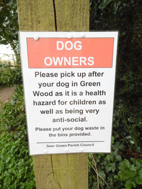
Blue Close Wood is managed by the Buckinghamshire County Council, which aims to preserve its natural beauty and protect its biodiversity. The wood is open to the public throughout the year, with no admission fee. There are designated picnic areas and benches, providing visitors with the opportunity to relax and enjoy the peaceful atmosphere.

Overall, Blue Close Wood offers a serene and idyllic setting for individuals seeking a tranquil escape from the bustling city. With its rich biodiversity and stunning scenery, it is a true gem in the Buckinghamshire countryside.

If you have any feedback on the listing, please let us know in the comments section below.

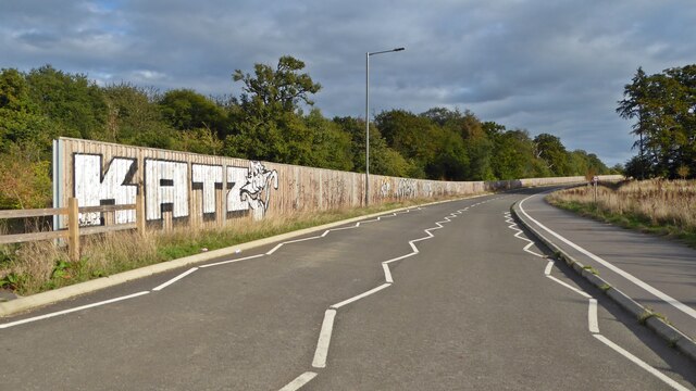
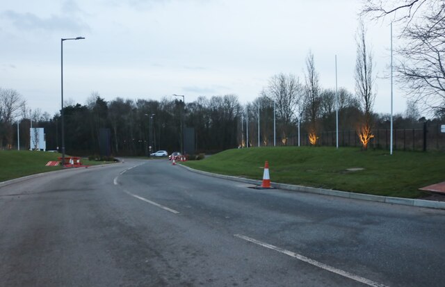
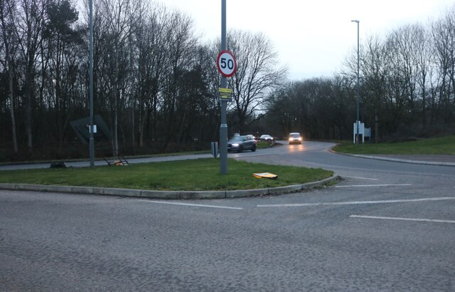
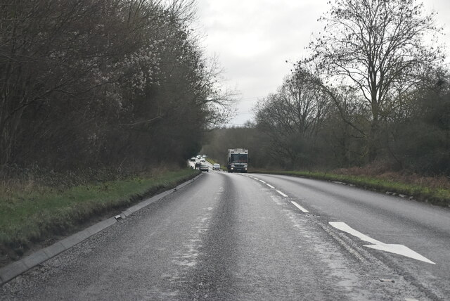
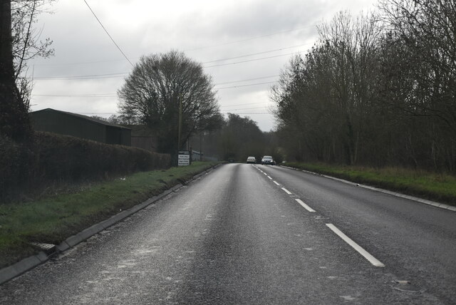
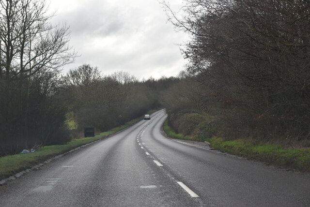
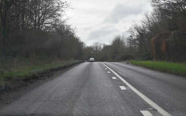
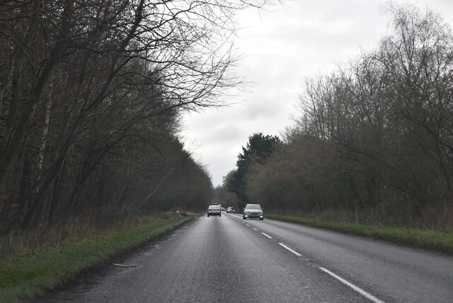
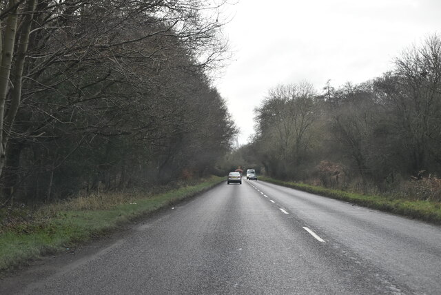
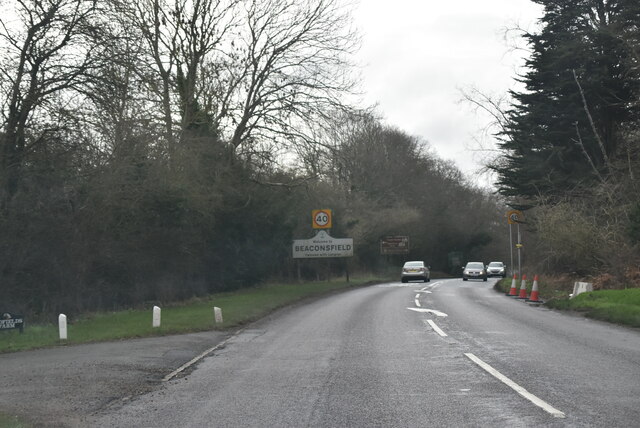
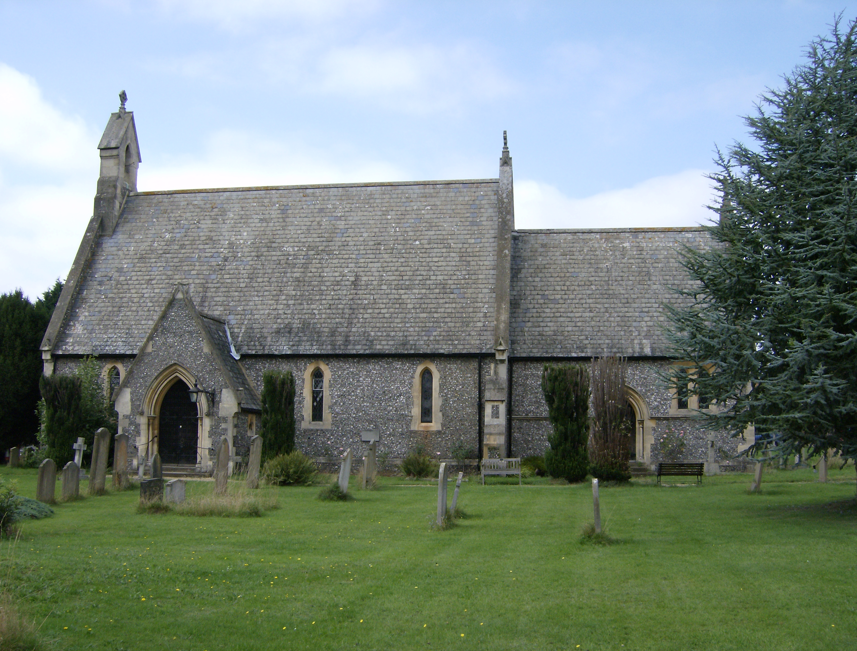
Blue Close Wood Images

Images are sourced within 2km of 51.619206/-0.61865458 or Grid Reference SU9592. Thanks to Geograph Open Source API. All images are credited.

Beaconsfield's "road to nowhere" This empty half-built relief road was at the centre of a dispute between Buckinghamshire Council and developers over the number of affordable homes planned for nearby Wilton Park, where the carriageway abruptly terminates.

The Bucks Free Press carried a report on the stand-off in September 2018.  <span class="nowrap"><a title="https://www.bucksfreepress.co.uk/news/16862169.revealed-inland-homes-threatens-withdraw-plans-350-homes-wilton-park-refuse-build-section-much-needed-relief-road/" rel="nofollow ugc noopener" href="https://www.bucksfreepress.co.uk/news/16862169.revealed-inland-homes-threatens-withdraw-plans-350-homes-wilton-park-refuse-build-section-much-needed-relief-road/">Link</a><img style="margin-left:2px;" alt="External link" title="External link - shift click to open in new window" src="https://s1.geograph.org.uk/img/external.png" width="10" height="10"/></span>
Beaconsfield's "road to nowhere"
This empty half-built relief road was at the centre of a dispute between Buckinghamshire Council and developers over the number of affordable homes planned for nearby Wilton Park, where the carriageway abruptly terminates. The Bucks Free Press carried a report on the stand-off in September 2018. LinkExternal link
The entrance to Wilton Park, Beaconsfield Another huge housing development is under construction.
The entrance to Wilton Park, Beaconsfield
Another huge housing development is under construction.
The Pyebush Roundabout, Beaconsfield
Dog Notice near Recreation Ground, Seer Green This notice, which has been erected by Seer Green Parish Council, is on the footpath between Butlers Cross and Seer Green. It has the following wording:

                         DOG 
                      OWNERS/DOG
                       WALKERS

               Please pick up after your dog
                 on the Recreation Ground.

               The area is used by sports
                 teams and families who
               should not be picking up after
                 your dog in order to play
                         safely.
               
                Please put your dog waste in
                     the bins provided.

 A public footpath arrow marker can be seen above the notice.
Dog Notice near Recreation Ground, Seer Green
This notice, which has been erected by Seer Green Parish Council, is on the footpath between Butlers Cross and Seer Green. It has the following wording: DOG OWNERS/DOG WALKERS Please pick up after your dog on the Recreation Ground. The area is used by sports teams and families who should not be picking up after your dog in order to play safely. Please put your dog waste in the bins provided. A public footpath arrow marker can be seen above the notice.
Dog Owners Notice by Green Wood, Seer Green This notice, erected by Seer Green Parish Council, is by a track leading from Seer Green to Jordans. It has the following wording:

                               DOG
                              OWNERS

                      Please pick up after
                       your dog in Green
                      Wood as it is a health 
                      hazard for children as
                       well as being very
                         anti-social.

                   Please put your dog waste in
                       the bins provided.
Dog Owners Notice by Green Wood, Seer Green
This notice, erected by Seer Green Parish Council, is by a track leading from Seer Green to Jordans. It has the following wording: DOG OWNERS Please pick up after your dog in Green Wood as it is a health hazard for children as well as being very anti-social. Please put your dog waste in the bins provided.
Red K6 Telephone Box in Jordans village This telephone box is located by Jordans Village Store in Green West Road, HP9 2SY. Its payphone has now been taken out and an Audio History of Jordans Village installed instead. Details of Jordans village can be found at <span class="nowrap"><a title="https://www.jordansvillage.co.uk/index.html" rel="nofollow ugc noopener" href="https://www.jordansvillage.co.uk/index.html">Link</a><img style="margin-left:2px;" alt="External link" title="External link - shift click to open in new window" src="https://s1.geograph.org.uk/img/external.png" width="10" height="10"/></span>. Green North Road can just be seen to the right of the photo.
Red K6 Telephone Box in Jordans village
This telephone box is located by Jordans Village Store in Green West Road, HP9 2SY. Its payphone has now been taken out and an Audio History of Jordans Village installed instead. Details of Jordans village can be found at LinkExternal link. Green North Road can just be seen to the right of the photo.
Old Road Sign in Seer Green Lane, Jordans This photo shows the old road sign located in Seer Green Lane HP9 2ST and which is missing its red circle with inverted triangle above it. During the mid-1960s, this particular sign was replaced by the inverted triangle "Give Way" sign. This road leads to Jordans Lane in the distance.
Old Road Sign in Seer Green Lane, Jordans
This photo shows the old road sign located in Seer Green Lane HP9 2ST and which is missing its red circle with inverted triangle above it. During the mid-1960s, this particular sign was replaced by the inverted triangle "Give Way" sign. This road leads to Jordans Lane in the distance.
A355, southbound The A355 runs 13 miles from Eton to Amersham.
<span class="nowrap"><a title="http://www.sabre-roads.org.uk/wiki/index.php?title=A355" rel="nofollow ugc noopener" href="http://www.sabre-roads.org.uk/wiki/index.php?title=A355">Link</a><img style="margin-left:2px;" alt="External link" title="External link - shift click to open in new window" src="https://s1.geograph.org.uk/img/external.png" width="10" height="10"/></span>
A355, southbound
The A355 runs 13 miles from Eton to Amersham. LinkExternal link
A355, White's Hill The A355 runs 13 miles from Eton to Amersham.
<span class="nowrap"><a title="http://www.sabre-roads.org.uk/wiki/index.php?title=A355" rel="nofollow ugc noopener" href="http://www.sabre-roads.org.uk/wiki/index.php?title=A355">Link</a><img style="margin-left:2px;" alt="External link" title="External link - shift click to open in new window" src="https://s1.geograph.org.uk/img/external.png" width="10" height="10"/></span>
A355, White's Hill
The A355 runs 13 miles from Eton to Amersham. LinkExternal link
Amersham Rd The A355 runs 13 miles from Eton to Amersham.
<span class="nowrap"><a title="http://www.sabre-roads.org.uk/wiki/index.php?title=A355" rel="nofollow ugc noopener" href="http://www.sabre-roads.org.uk/wiki/index.php?title=A355">Link</a><img style="margin-left:2px;" alt="External link" title="External link - shift click to open in new window" src="https://s1.geograph.org.uk/img/external.png" width="10" height="10"/></span>
Amersham Rd
The A355 runs 13 miles from Eton to Amersham. LinkExternal link
A355, southbound The A355 runs 13 miles from Eton to Amersham.
<span class="nowrap"><a title="http://www.sabre-roads.org.uk/wiki/index.php?title=A355" rel="nofollow ugc noopener" href="http://www.sabre-roads.org.uk/wiki/index.php?title=A355">Link</a><img style="margin-left:2px;" alt="External link" title="External link - shift click to open in new window" src="https://s1.geograph.org.uk/img/external.png" width="10" height="10"/></span>
A355, southbound
The A355 runs 13 miles from Eton to Amersham. LinkExternal link
Amersham Rd, A355 The A355 runs 13 miles from Eton to Amersham.
<span class="nowrap"><a title="http://www.sabre-roads.org.uk/wiki/index.php?title=A355" rel="nofollow ugc noopener" href="http://www.sabre-roads.org.uk/wiki/index.php?title=A355">Link</a><img style="margin-left:2px;" alt="External link" title="External link - shift click to open in new window" src="https://s1.geograph.org.uk/img/external.png" width="10" height="10"/></span>
Amersham Rd, A355
The A355 runs 13 miles from Eton to Amersham. LinkExternal link
Entering Beaconsfield, A355 The A355 runs 13 miles from Eton to Amersham.
<span class="nowrap"><a title="http://www.sabre-roads.org.uk/wiki/index.php?title=A355" rel="nofollow ugc noopener" href="http://www.sabre-roads.org.uk/wiki/index.php?title=A355">Link</a><img style="margin-left:2px;" alt="External link" title="External link - shift click to open in new window" src="https://s1.geograph.org.uk/img/external.png" width="10" height="10"/></span>
Entering Beaconsfield, A355
The A355 runs 13 miles from Eton to Amersham. LinkExternal link
A355, Wipass Hill The A355 runs 13 miles from Eton to Amersham.
<span class="nowrap"><a title="http://www.sabre-roads.org.uk/wiki/index.php?title=A355" rel="nofollow ugc noopener" href="http://www.sabre-roads.org.uk/wiki/index.php?title=A355">Link</a><img style="margin-left:2px;" alt="External link" title="External link - shift click to open in new window" src="https://s1.geograph.org.uk/img/external.png" width="10" height="10"/></span>
A355, Wipass Hill
The A355 runs 13 miles from Eton to Amersham. LinkExternal link
Amersham Rd, A355 The A355 runs 13 miles from Eton to Amersham.
<span class="nowrap"><a title="http://www.sabre-roads.org.uk/wiki/index.php?title=A355" rel="nofollow ugc noopener" href="http://www.sabre-roads.org.uk/wiki/index.php?title=A355">Link</a><img style="margin-left:2px;" alt="External link" title="External link - shift click to open in new window" src="https://s1.geograph.org.uk/img/external.png" width="10" height="10"/></span>
Amersham Rd, A355
The A355 runs 13 miles from Eton to Amersham. LinkExternal link
A355, southbound The A355 runs 13 miles from Eton to Amersham.
<span class="nowrap"><a title="http://www.sabre-roads.org.uk/wiki/index.php?title=A355" rel="nofollow ugc noopener" href="http://www.sabre-roads.org.uk/wiki/index.php?title=A355">Link</a><img style="margin-left:2px;" alt="External link" title="External link - shift click to open in new window" src="https://s1.geograph.org.uk/img/external.png" width="10" height="10"/></span>
A355, southbound
The A355 runs 13 miles from Eton to Amersham. LinkExternal link
Show me another place!

Blue Close Wood is located at Grid Ref: SU9592 (Lat: 51.619206, Lng: -0.61865458)

Unitary Authority: Buckinghamshire

Police Authority: Thames Valley

What 3 Words

///solar.sleepy.tell. Near Seer Green, Buckinghamshire

Related Wikis

Long Grove Wood

Long Grove Wood is a 1.5-hectare (3.7-acre) nature reserve managed by the Berkshire, Buckinghamshire and Oxfordshire Wildlife Trust in Seer Green in Buckinghamshire...

Seer Green

Seer Green is a village and civil parish in Buckinghamshire, England. It is in the Chiltern Hills, 1.8 miles (2.9 km) east-north-east of Beaconsfield and...

Beaconsfield Golf Club

Beaconsfield Golf Club is a golf club, located in Seer Green, Buckinghamshire, England. It is located about 1 mile east of Beaconsfield. The club was established...

Ledborough

Ledborough was a former hamlet in the parish of Beaconsfield, in Buckinghamshire, England which has become incorporated into the urban area of the town...

Seer Green and Jordans railway station

Seer Green and Jordans railway station is a railway station near the village of Seer Green in Buckinghamshire, England. It also serves the nearby village...

Hodgemoor Wood

Hodgemoor Wood is a biological Site of Special Scientific Interest in Chalfont St Giles in Buckinghamshire. It is in the Chilterns Area of Outstanding...
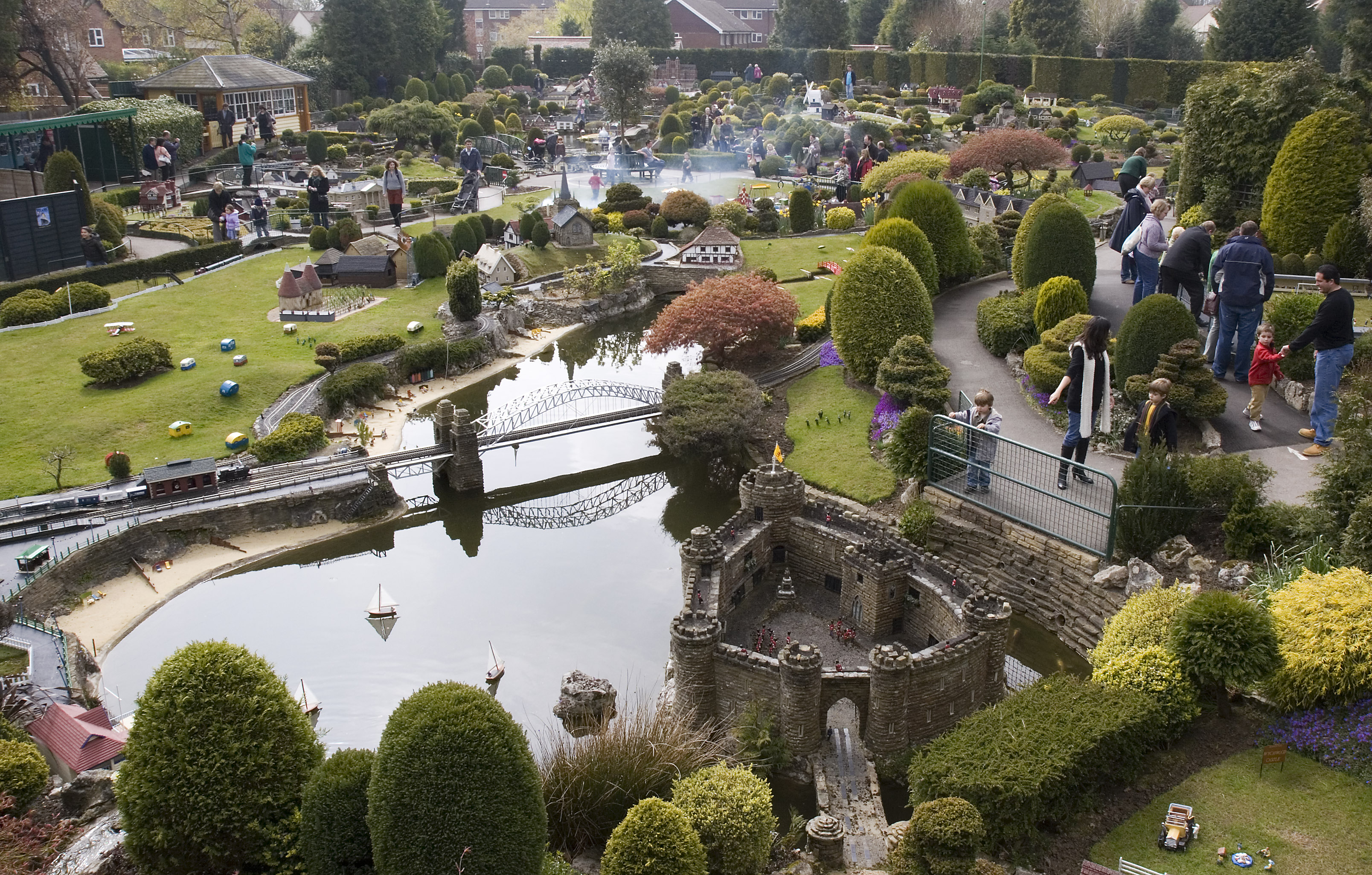
Bekonscot

Bekonscot Model Village and Railway is a model village built in the 1920s in Beaconsfield, Buckinghamshire, UK at a scale of one inch to one foot. It portrays...

Beaconsfield railway station (England)

Beaconsfield railway station is a railway station in the town of Beaconsfield, Buckinghamshire, England. It is on the Chiltern Main Line between Seer Green...

Nearby Amenities

Located within 500m of 51.619206,-0.61865458
Barrier: stile
Source: gps
Lat/Long: 51.6201846/-0.6121694
Barrier: stile
Source: gps
Lat/Long: 51.620638/-0.6185384
Direction: 200
Generator Method: photovoltaic
Generator Output Electricity: yes
Generator Solar Modules: 2
Generator Source: solar
Generator Type: solar_photovoltaic_panel
Location: roof
Power: generator
Lat/Long: 51.6177022/-0.61352
Direction: 210
Generator Method: photovoltaic
Generator Output Electricity: yes
Generator Solar Modules: 2
Generator Source: solar
Generator Type: solar_photovoltaic_panel
Location: roof
Power: generator
Lat/Long: 51.6175411/-0.6136632
The data included in this document is from www.openstreetmap.org. The data is made available under ODbL.

Have you been to Blue Close Wood?

Leave your review of Blue Close Wood below (or comments, questions and feedback).